
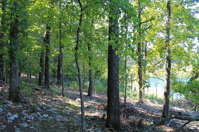
The Lakeside Trail at Bull Shoals-White River State Park (Baxter and Marion Counties, near Yellville and Mountain Home) is a short but scenic trail with great views of Bull Shoals Lake.
It is an easy and scenic 1.1-mile semi-loop trail. The initial spur is .1 miles and the loop is .9 miles.
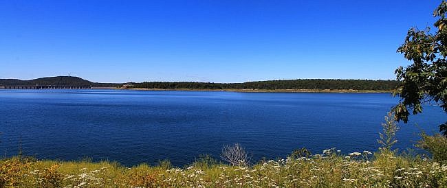
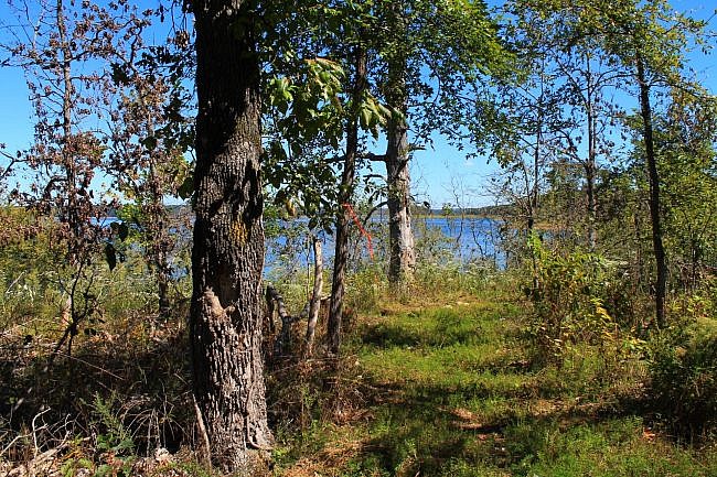
About half the loop is close to the shore line with lots of nice views of the lake.
Note: Parts of the trail may be inaccessible due to high water when the Bull Shoals Lake water level is very high.
Getting to Lakeside Trail
The Lakeside Trail starts at the picnic area by the south end of the dam.
If you are heading to Bull Shoals-White River State Park from Yellville (about 17 miles), take Highway 412 east. After 4 miles, take Highway 178 heading east. Highway 178 takes you all the way to the park (via Flippin and the city of Bull Shoals). Cross over the dam. Right after the highway curves left, the picnic area on the left.
If you are coming from Mountain Home, take Highway 5 north to the community of Midway. Then get on Highway 178 heading west (by the Dollar General). The park is 9 miles ahead. The picnic area is the first thing on your right once you enter the park.
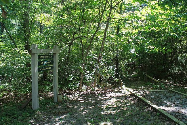
There is parking here. The trailhead is marked and on the right (east) end of the picnic area.
The Trail
The initial spur is just .1 miles. On my most recent hike, I turned left at the loop to take it clockwise and do the lakeside part of the loop first.
Once on the loop, it is just a short downhill walk until you are fairly close to the lake. This part (the north side) of the loop generally heads northeast following the shoreline. There are a lot of nice lake views on this stretch, some of them pretty wide open.
There is an overlook area at around .5 miles with a bench and some very nice views of the lake (mostly facing west and north). You can see Bull Shoals Dam pretty easily from here. It is less than a mile away.
At the overlook, you are nearly at the end of a small peninsula. Shortly after this point, the trail curves and starts heading back (the south side of the loop) mainly in a southwest direction.
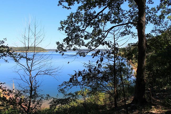
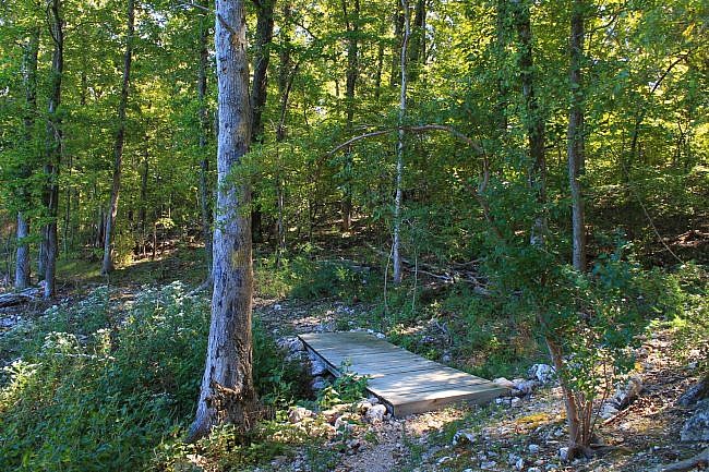
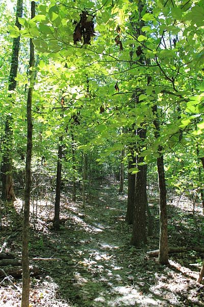
From the wooded and scenic south side of the loop, you still may be able to see glimpses of the lake in the distance.
There is a bit of uphill climbing on this part of the loop, but the elevation change on the trail is only about 75 feet.
At around 1 mile, you are back at the initial spur. Take a left to head back to the trailhead.
Final Notes
The trail has yellow blazes. It was in pretty good condition when I hiked it in September 2016. There was a little overgrowth, but it was not bad.
I had AT&T cell signal on the whole trail.
These photos are from my hike on September 11, 2016. It was the same day I made this visit to the Big Bluff Trail.
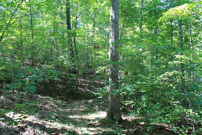
Photo Gallery
Click below for full-screen photo gallery.
Map
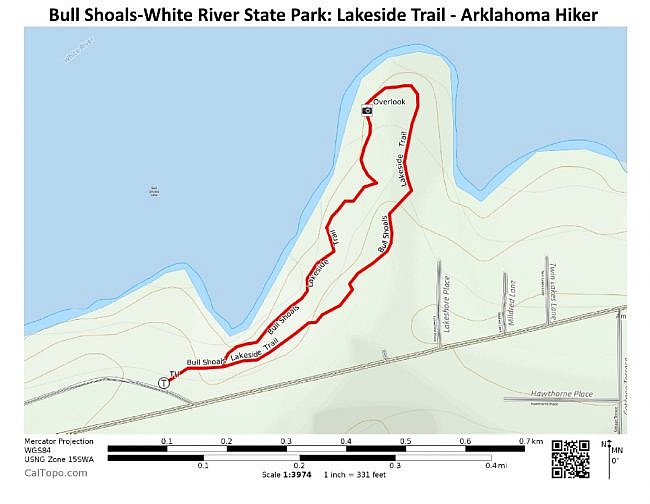
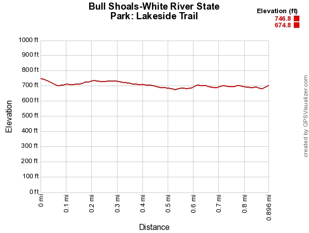
Bull Shoals: Lakeside Trail |
|
|---|---|
| Location | Bull Shoals-White River State Park (near Yellville), Baxter County, Arkansas |
| Hike Length/Type | 1 mile semi-loop |
| Difficulty | Easy (1 of 5) |
| Other Permitted Usage | Pets on a leash. |
| Gpx file by Mike | Link |
| Date Hiked | September 11, 2016 |
| Directions | Google Maps Directions to Lakeside Trailhead |
| Official Info | (870) 445-3629 Website Official Bull Shoals-White River Trail Brochure (pdf) |
Last revised: 8-16-2021.


