[Note: Major work has been done recently at the Cedar Lake Recreation Area. Check with the Forest Service for info about trail conditions. Check here for updates.]
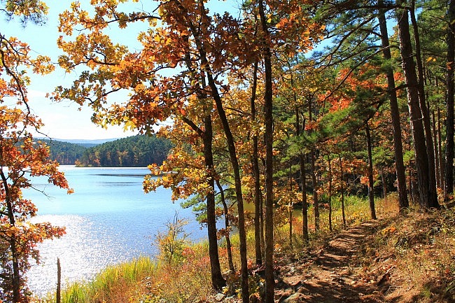
The Cedar Lake Trail at the Cedar Lake Recreation Area in the Ouachita National Forest (LeFlore County, Oklahoma) is a pretty easy 2.8-mile loop with lots of great views of the lake.
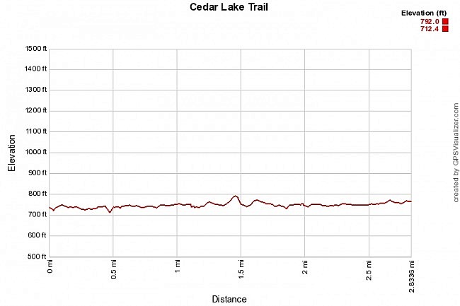
Aside from a few small hilly areas, the trail is generally level. The net elevation change is only about 80 feet.
Getting to Cedar Lake Recreation Area
To get there from Poteau, just take Highway 59 south toward Heavener. About 10 miles past Heavener, turn right onto Holson Valley Road. Watch for the Cedar Lake Recreation Area sign. Then just follow the signs to the campground.
There is usually plenty of parking at the large picnic and swimming area. There is a $3 fee per vehicle day-use fee.
The Cedar Lake Trail
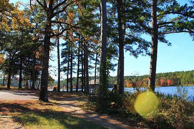
After you park and pay your fee, head down to the lake and look for the sidewalk that runs next to the lake. That is the trail.
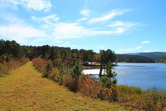
The Cedar Lake Trail circles nearly the entire 86-acre lake. (Check out the maps below.) Most of it is a dirt path but there are stretches in the camping and day-use areas where it is a sidewalk. This is one of them.
I usually turn right (heading north) and take the trail counterclockwise.
The first half-mile or so goes by and near the day-use and North Shore camping areas. This part of the trail is a mix of wooded and open areas.
Then you will get to the earthen dam at the northeast corner of the lake. The trail path on this open grassy area is kept mowed so it stays passable. There are some cool views of the lake on and near the dam.
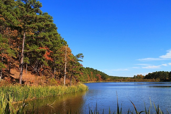
Then the trail turns left. For the next mile or so, the trail is wooded and makes a path around the north and west parts of the lake usually not being very far from the shoreline.
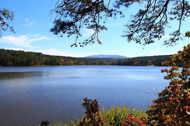
There are a lot of great views of the lake on these parts of the trail, as there is on most of the trail. From the north parts of the trail, you can see Winding Stair Mountain in the distance.
At the lake’s southwest corner, there is a large wood-and-metal footbridge over a scenic creek. (There were kayakers there when I was there in November.)
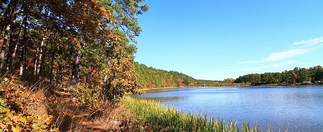
From here, the trail turns eastward and starts heading around the south side of the lake eventually returning back to swimming area where we started. In this stretch, the trail is mostly wooded, but it does have some open areas in the south camping and day use areas.
Final Notes
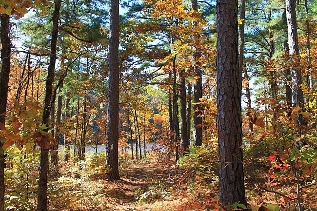
The trail is frequently used, well maintained, and easy to follow with white blazes.
Also at the lake is Old Pine Interpretive Trail, a .4-mile nature trail. (I have not hiked it.)
When I did my hike there on November 8, 2014, it was a beautiful sunny day with some great fall foliage. These photos are from that hike. (More pics from that hike are here.)
Don’t expect any cell coverage at Cedar Lake. I had zero AT&T coverage on my hike.
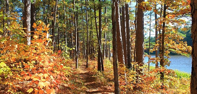
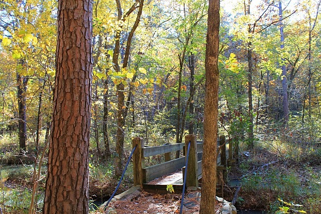
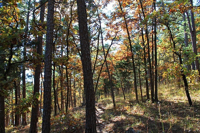
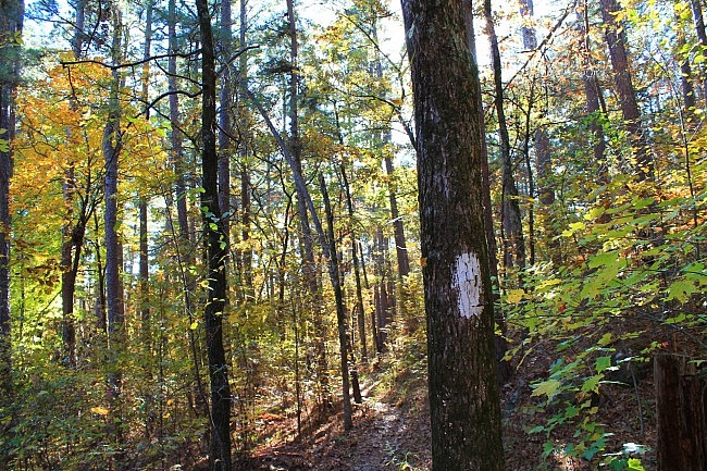
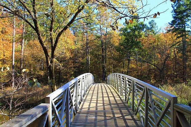
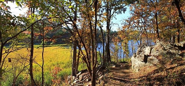
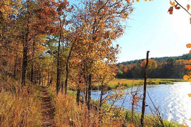
Photo Gallery
Click below for full-screen photo gallery of these and more pics from my November 8, 2014 hike.
Map
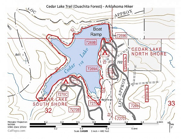
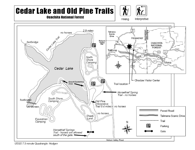
Cedar Lake Trail (Ouachita Forest)
Location Cedar Lake Recreation Area, Ouachita National Forest, LeFlore County, Oklahoma
Length/Type 2.8 mile loop. (Note: $3 day use fee per vehicle.)
Difficulty Mildly challenging (2 of 5)
Gpx file by Mike Gpx file link
Date Hiked November 8, 2014
Directions Google Maps Directions to Cedar Lake Recreation Area
Official Info (918) 653-2991 (USFS Oklahoma Ranger Dist., Hodgen) USFS Website
Trail Map Flyer (pdf)
[Last revised: 7-14-2021.]


