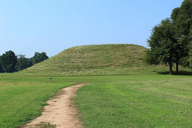
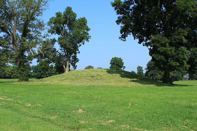
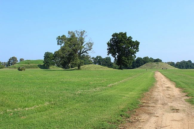
Toltec Mounds Archeological State Park (Lonoke County, southeast of Little Rock) is the site of the tallest surviving prehistoric mounds in Arkansas.
The area was occupied from 600 to 1050 A.D. The Native American people who lived here are referred to as the Plum Bayou culture.
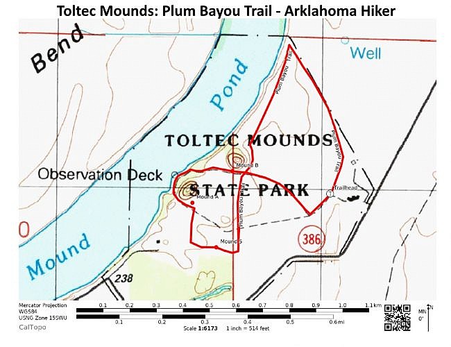
One of the best ways to see the park is via the Plum Bayou Trail, an easy 1.7-mile figure-8 path.
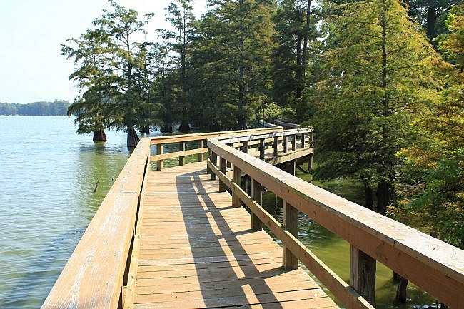
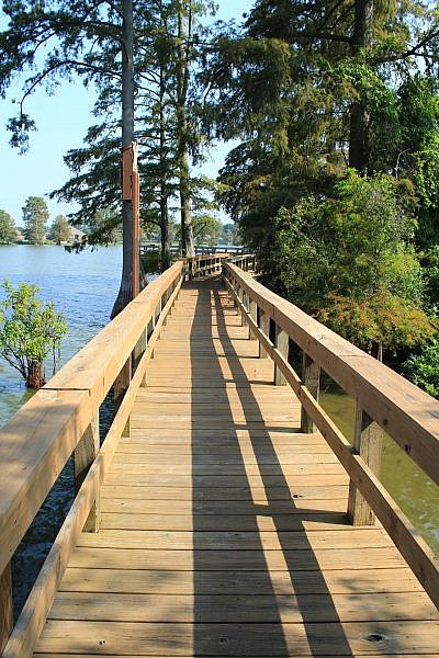
In addition to the historical sites viewable on the trail, there is a cool boardwalk on Mound Lake that is a treat to walk.
Getting to Toltec Mounds
To get to the park from Little Rock, take Interstate 440 to Highway 165 heading south toward England. Stay on 165 for about 9 miles.
Take a right on Highway 386 (Toltec Mounds Road). Follow the signs to the park for another half-mile.
Go in the visitor center and follow the signs to enter the grounds. There used to be a charge, but as of this writing admission is free.
Plum Bayou Trail
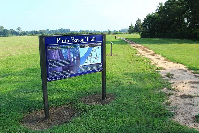
The Plum Bayou trailhead is just a few hundred feet from the visitor center. The trail is a dirt path that takes off to the right. Just follow the signs.
You’ll get more out of the visit if you learn a little about the area first. Check out the museum in the visitor center. You also may want to look at this Toltec Mounds information sheet and the official Plum Bayou Trail brochure.
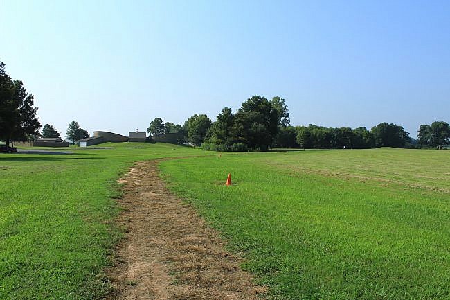
The first part of the trail swings along the outside of a former embankment. The embankment location is designated with orange cones. Presumably, the embankment was destroyed when the area was later used by settlers for farming.
It is thought the embankment marked the perimeter of the area for the political, religious, and social activities that took place here.
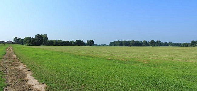
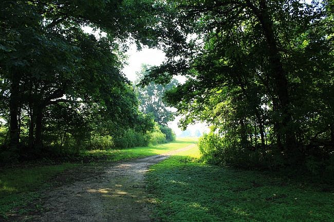
At around .4 miles, the trail enters a small wooded area near Mound Lake and then makes a sharp left turn and heads toward the 39-foot Mound B.
At around .7, the trail crosses the (paved) Knapp Trail. Shortly after that, it makes another curve and works its way back toward the boardwalk.
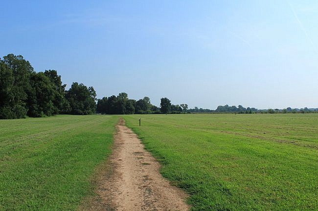
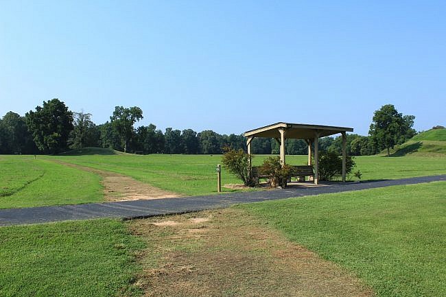
At around 1.1, the trail comes by the 49-foot Mound A, the largest one at the site. Here, Plum Bayou Trail makes a left turn joining (and overlapping) the Knapp Trail. (The signage wasn’t that clear on this when I was last there.)
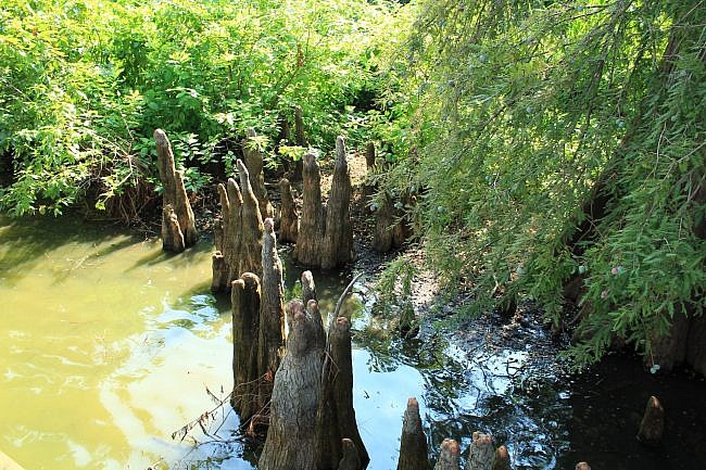
Mound Lake at one time was part of the Arkansas River. The boardwalk area on Mound Lake is beautiful. There are really cool cyprus trees (with knees) in the water by the boardwalk.
After the boardwalk, stay on the Knapp Trail as it heads back up to the visitor center.
Final Notes
This is an easy trail to walk. It’s easy to follow and well maintained.
For a shorter walk, there is the Knapp Trail. It is a 3/4 mile paved path.
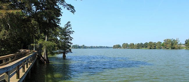
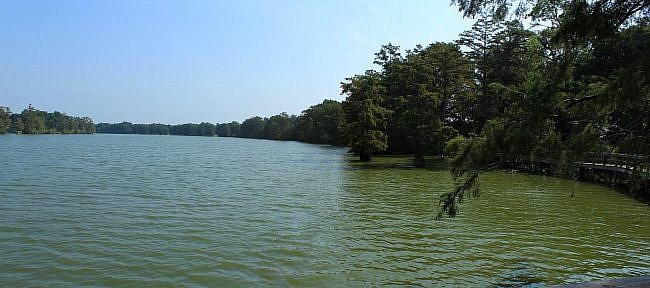
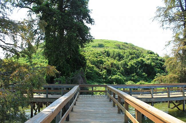
Photo Gallery
Click below for full-screen photo gallery.
Map
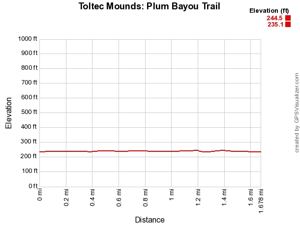
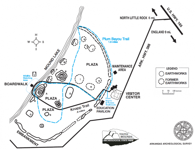
Toltec Mounds Archeological State Park: Plum Bayou Trail |
|
|---|---|
| Location | Lonoke County, Arkansas (about 10 miles southeast of Little Rock, near England) |
| Hike Length/Type | 1.7 mile loop. Blue blazes. |
| Difficulty | Easy. (1 of 5) |
| Other Permitted Usage | Pets on a leash. |
| Gpx file by Mike | Link |
| Date Hiked | 8-25-2018 (and earlier) |
| Directions | Google Maps Directions to Toltec Mounds Archeological State Park |
| Official Info | 501-961-9442 Website Park Brochure (pdf) Park Information Sheet (pdf) Plum Bayou Trail Brochure (pdf) |
Last revised: 8-15-2021.


One reply on “Toltec Mounds: Plum Bayou Trail – 2 mi”
Looks like a fun hike!!