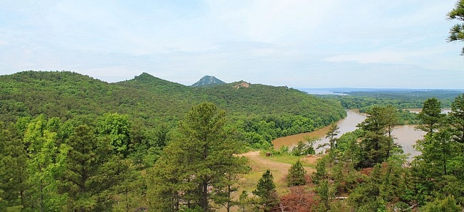
This short but vigorous 2.6-mile hike combines two trails at Pinnacle Mountain State Park (Pulaski County, near Little Rock): the Rocky Valley and East Quarry Trails.
This is a scenic and hilly walk with a couple of great vistas on the east end.
Getting to the Rocky Valley Trail
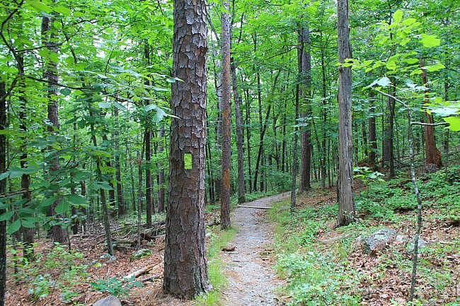
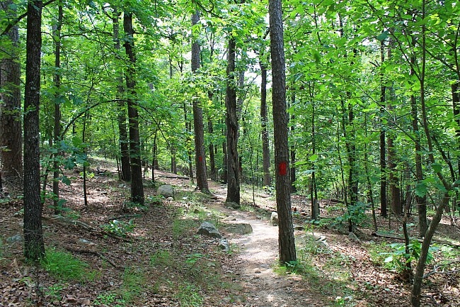
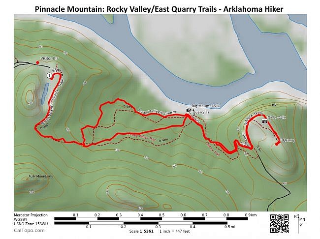
The first part of the hike is the Rocky Valley Trail (green blazes), a semi-loop trail that starts next to the visitor center. The East Quarry Trail (red blazes) is a spur at the east end of the loop.
As for getting to Pinnacle Mountain State Park, for most people, you should head to Cantrell Road (Highway 10) in northwest Little Rock, off of Interstate 430. About 2 miles west of the interstate, turn right to take Pinnacle Valley Road. Follow the signs to the park and head to the visitor center.
The Rocky Valley Trail has a very visible trailhead sign. It is at the back end of the visitor center parking lot, just to the left of the Quarry Pond (a former quarry area).
The Hike
I’m a big fan of trails with hills, interesting rocks, and cool views. This this state park hike through part of the Fulk Mountains has all that.
The first part of the hike heads southeast on a ridge going along the Quarry Pond with some cool views of the pond.
After about a quarter-mile, the trail turns east and starts heading downhill. After about another .2 miles, the trail reaches the loop part of the trail. I usually turn right here to the loop counterclockwise (on the south side, continuing east). From here, it’s about .3 miles to the East Quarry Trail junction.
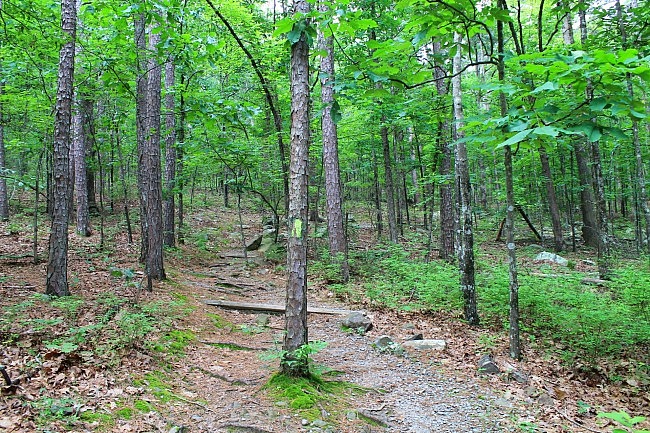
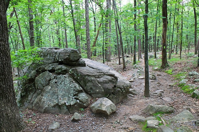
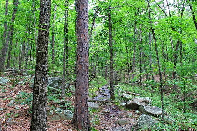
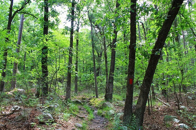
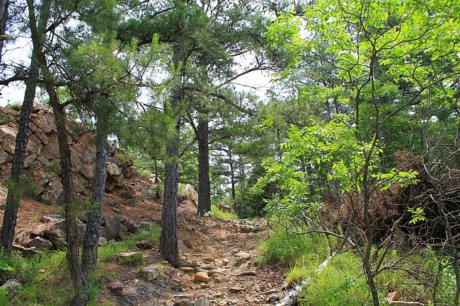
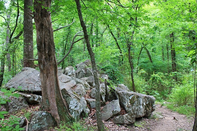
The aptly named Rocky Valley Trail is a wooded valley walk with a lot of interesting rock formations that run the gamut from the numerous small and medium-sized rocks to large igloo-sized rock formations. When I hiked it in May, there also were several scenic streams near the trail.
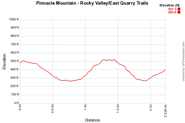
By the time you reach the bottom of the valley, the trail has descended about 240 feet in elevation. In this low-lying area, you are close to the (big) Maumelle River, just to the north.
Be sure to turn right and take the East Quarry Trail when you reach that spur. Also in this area, you might want to take the short spur over to get an up-close look at the river. (The view for me was limited during leaf-on.)
Back to the East Quarry Trail, it starts out heading southeast continuing in the flat low-lying river terrain. After about .1 miles, it starts an uphill climb toward the top of one of the mountains. The trail becomes more steep with switchbacks as it heads uphill.
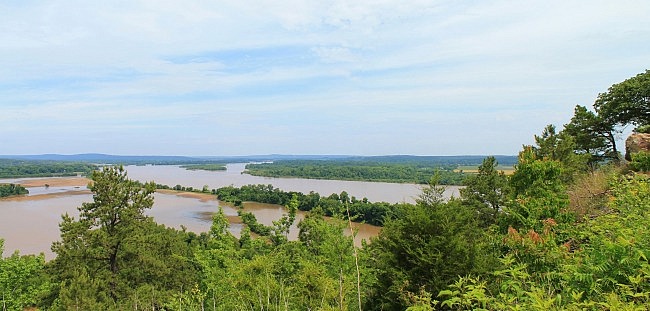
When the trail gets near the top, it follows a road trace a little ways and then reaches a bench at another former quarry area with a great north-facing vista of the Arkansas and Maumelle Rivers.
When I took these photos on May 23, the rivers were swollen from recent rains. Much of the low-lying land between the rivers was also water-covered.
And there is another cool vista. The trail takes another short climb up to the top of this mountain to the H.L. Dickinson Overlook, a west-facing overlook with a great view of Pinnacle Mountain in the distance. (There is a plaque here stating that Overlook was dedicated by Pine Bluff Sand & Gravel, who apparently donated this property at the east part of the state park.)
This is area is the end of the East Quarry Trail. From here, turn around and head back downhill to the Rocky Quarry Trail.
Safety note: There are a few dangerous bluffs on the East Quarry Trail. Be careful.
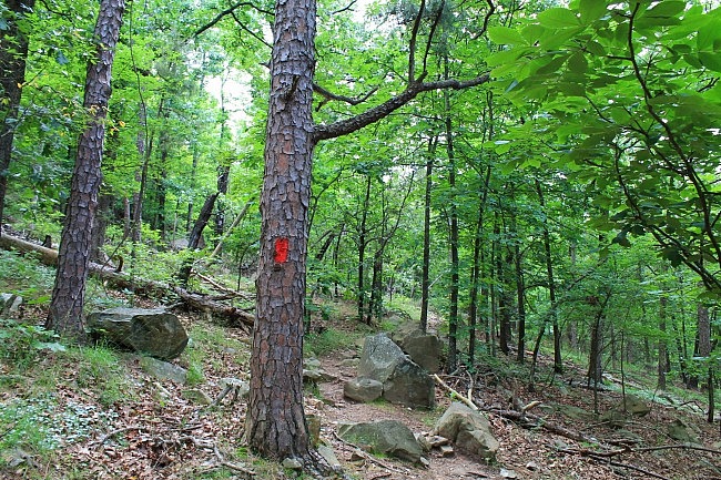
When you get back to the Rocky Valley Trail, be sure to turn right again to continue to the north side of the loop.
The north side of the loop is slightly longer than the south side. It continues through the low-lying area for about .2 miles heading west before turning southwest and working its way back uphill out of the valley.
When you finish the loop, turn right to head back to the trailhead.
The total length of the hike is about 2.6 miles. The net elevation change is about 260 feet, but the total elevation gain on the hike is about 560 feet.
Final Notes
As is usually the case in Arkansas State Parks, the trails were in good condition and well-marked.
I had AT&T cell coverage throughout the hike.
There also is a Scenic Overlook near the trailhead which is reached via a wooden staircase. It also has some nice views of the Arkansas and Maumelle Rivers.
These photos are all from my May 23, 2015 hike.
While at Pinnacle Mountain State Park, you might want to also check out the Summit Trail Loop or the Base Trail.
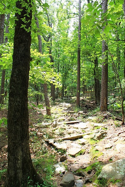
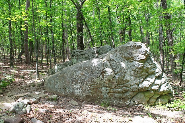
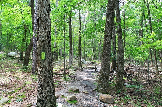
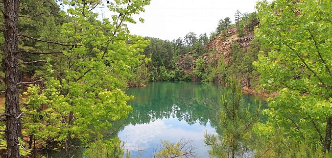
Photo Gallery
Click below for full-screen photo gallery.
Map
Pinnacle Mountain: Rocky Valley and East Quarry Trails |
|
|---|---|
| Location | Pinnacle Mountain State Park, Pulaski County, Arkansas |
| Length/Type | 2.6 miles to the end and back (including East Quarry Trail), semi-loop |
| Difficulty | Moderate (3 of 5) |
| Gpx file by Mike | Gpx file link |
| Date Hiked | May 23, 2015 (and earlier) |
| Directions | Google Maps Directions to Trailhead (Next to Visitor Center) |
| Official Info - Phone/Links | 501.868.5806 Website Park Trail Flyer (pdf) |
[Last revised: 7-25-2021.]


