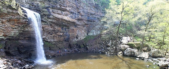
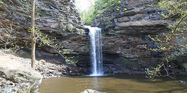
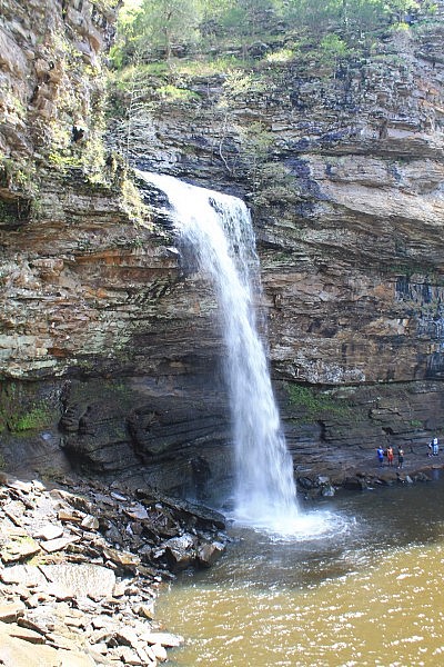
Cedar Falls at Petit Jean State Park is the most impressive Arkansas waterfall I have seen. When Cedar Creek is flowing well, this is 95-foot waterfall is an amazing sight.
After a visit to Cedar Falls, it is easy to see why Petit Jean was chosen to be Arkansas’s first state park.
The trail to it is not long, only .9 miles each way (1.8 mile total hike). And the trail is not particularly difficult except for a steep climb back up to the trailhead.
Getting to Cedar Falls Trail
The Cedar Falls Trail starts behind the Mather Lodge at Petit Jean State Park on Petit Jean Mountain.
To get there from Little Rock, head west on I-40. Take Exit 108 in Morrilton and head south on Highway 9/113. After about 5 miles, take a right at Oppelo onto Highway 154 heading west. Highway 154 (Petit Jean Mountain Road) will take you into the park.
If you are coming from the west, take Exit 81 on I-40 at Russellville. Head south on Arkansas Avenue (Highway 27) to Dardanelle. Then turn left on Highway 22. After a mile, it turns into Highway 7 (heading south). After another mile, take a left onto Highway 155 (south). After 8 miles, Highway 155 ends. Take a left (east) on Highway 154. It will take you to Petit Jean.
Watch for the signs at Mather Lodge. There is a large parking lot here.
The Hike
Again, the trail starts at the sign behind the lodge.
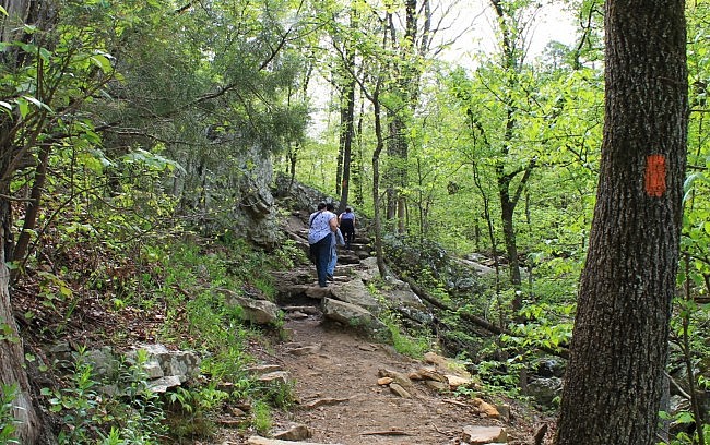
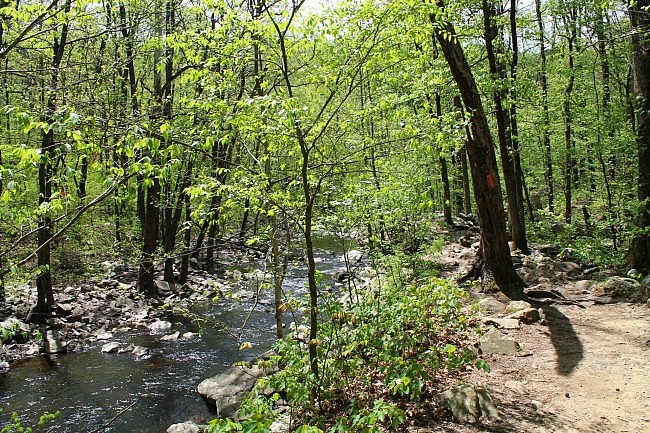
This is one of the most visited trails in the state. It is well-blazed and easy to follow.
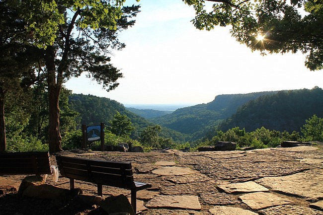
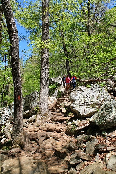
As often is the case with waterfall trails, it’s a downhill walk to get to the falls, then there is a pretty good climb for the return.
The trail has a fairly steep descent right off the bat, dropping about 200 feet in elevation over .3 miles.
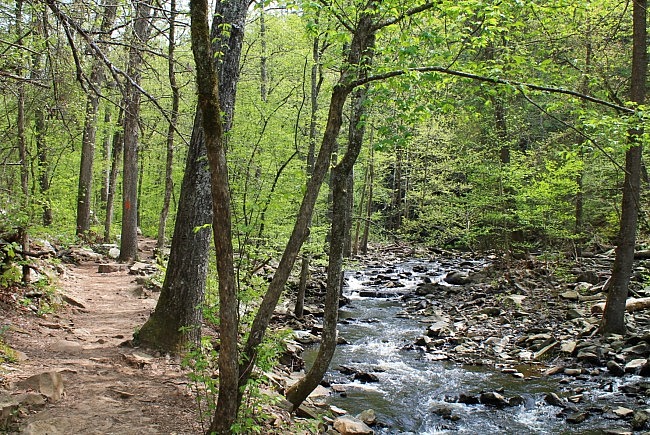
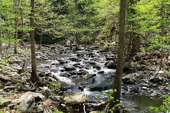
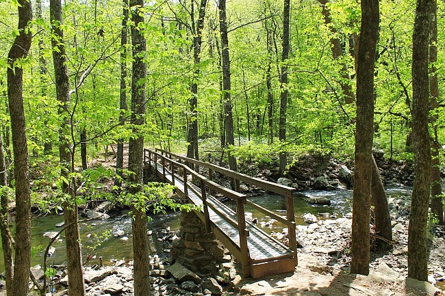
Once at the bottom of the hill, the trail makes a footbridge crossing over Cedar Creek. Then it turns right and follows Cedar Creek upstream (to the northeast) toward Cedar Falls. This part of the hike is a fairly level .7-mile walk.
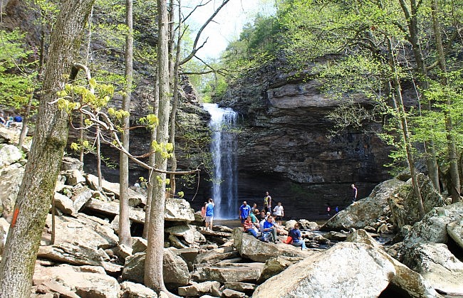
You can’t miss Cedar Falls. Even if you are there during dry times, the waterfall site is like a coliseum of rock.
After enjoying Cedar Falls, turn around and head back the way you came. Of course, you should be prepared for the steep climb back uphill at the last part.
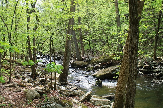
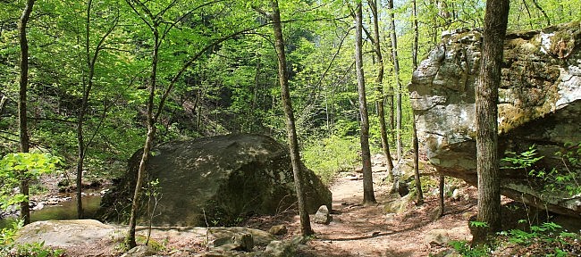
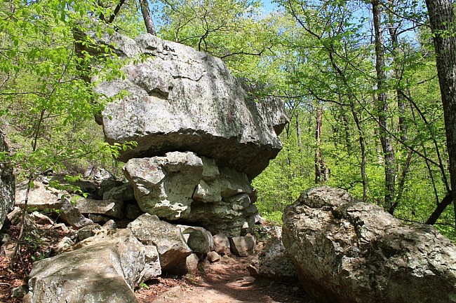
Although Cedar Falls is the highlight, the entire trail is quite scenic, especially during wet times. The walk along Cedar Creek is beautiful when flowing well, and there are some really cool rock formations all along the trail.
As with most waterfalls in Arkansas, the best viewing is during wetter times such as during winter and spring.
If you have time, you should also check out the Cedar Creek Trail and Seven Hollows Trail. Bear Cave Trail is also pretty cool.
Also check out this video of Cedar Falls.
These photos are all from my April 11 hike on the trail (except for the photo of the trailhead that was taken in June).
Map
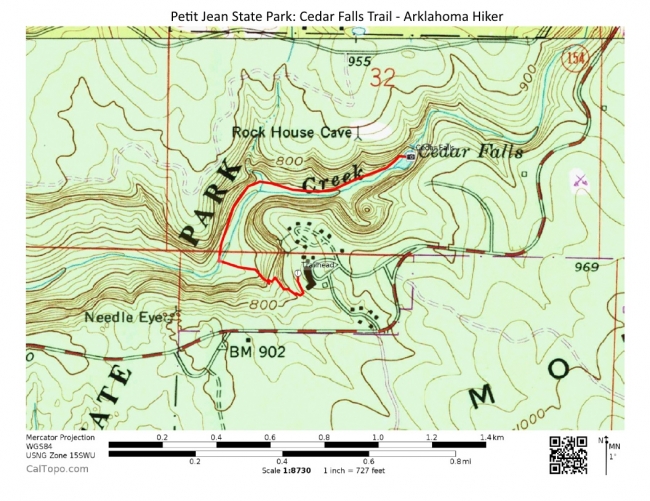
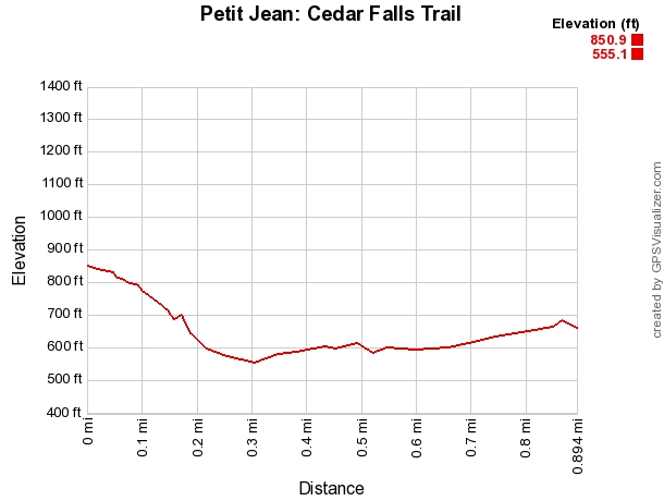
Photo Gallery
Click below for full-screen photo gallery.
Petit Jean: Cedar Falls Trail | |
|---|---|
| Location | Petit Jean State Park, Conway County, Arkansas |
| Length/Type | 1.8 miles out and back (.9 miles each way) |
| Difficulty | Moderate (3 of 5) |
| Gpx file by Mike | Gpx file link |
| Date Hiked | April 11, 2015 (and earlier) |
| Directions | Google Maps Directions to Mather Lodge (Cedar Falls Trailhead) |
| Official Info | (501) 727-5441 Website Petit Jean Trail Brochure (pdf) |
[Last revised: 5-16-2021.]


