The Dam Mountain Trail at Lake Catherine State Park (Hot Spring County, near Hot Springs) is my favorite trail at the park. It offers a little bit of every kind of scenery at the park.
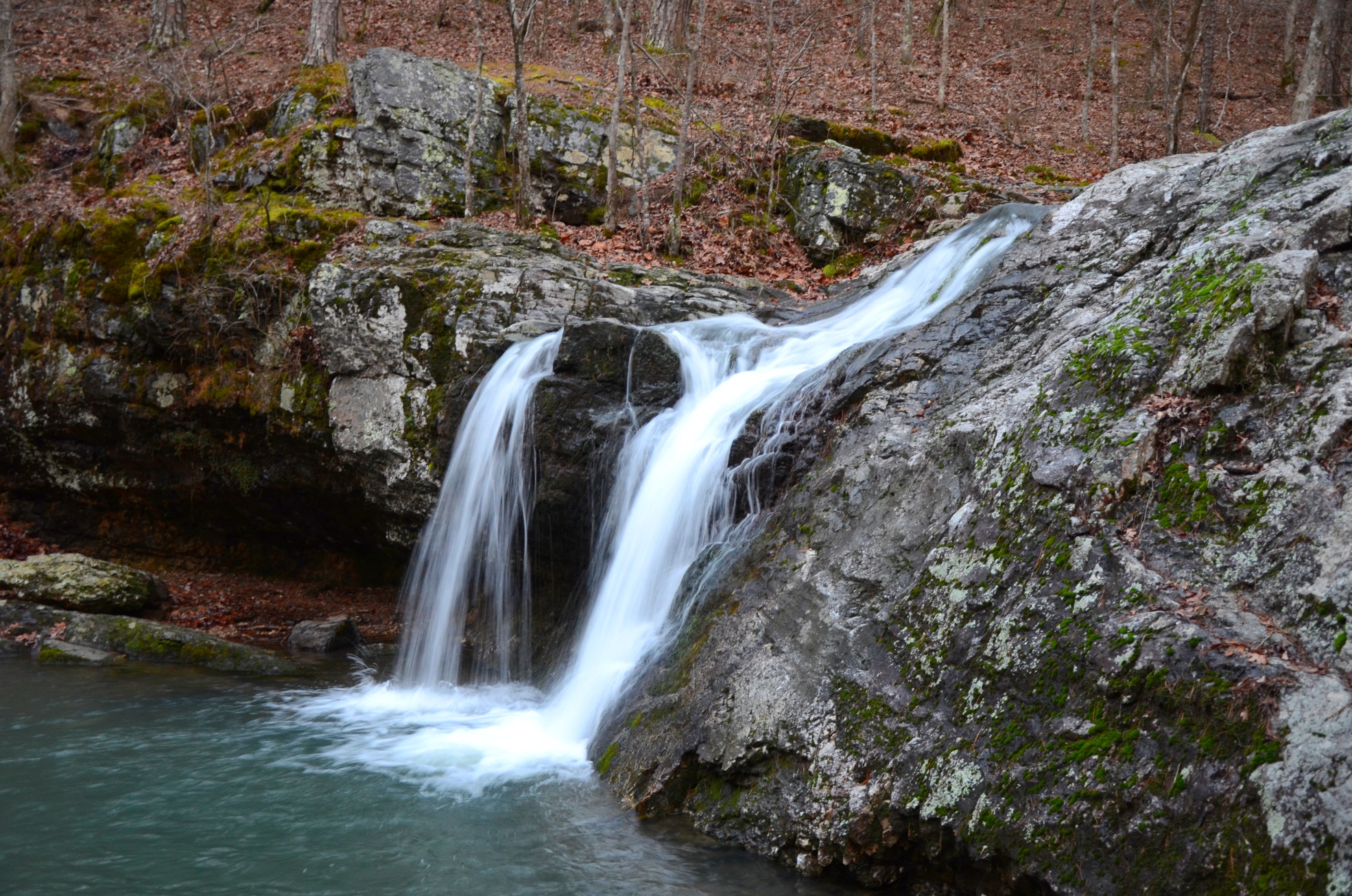
Lake Catherine State Park has thick forest, mountain top glades, deep valleys, beautiful streams–including a waterfall–and of course the lake. The Dam Mountain Trail takes you through all of these for a diverse and beautiful hike with great views of the lake, streams, and Falls Creek Falls.
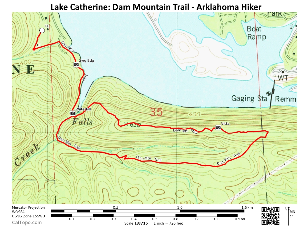
The trail is a semi-loop with an initial .6-mile spur and a 2.4-mile loop. The entire hike is 3.6 miles.
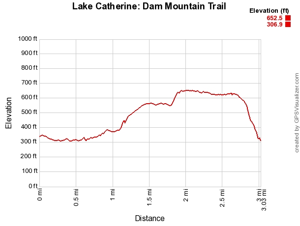
It has an elevation change of about 350 feet.
Getting to Dam Mountain Trail
Lake Catherine State Park is between Hot Springs and Malvern on Highway 171, also known as Catherine Park Road. You can take Exit 97 from I-30 at Malvern and follow that road until it ends at the park. It is about 12 miles from the interstate.
The trailhead is at the south end of the Camp Area C bathhouse loop.
This is the same trailhead for the 2-mile Falls Branch Trail and the 3-mile Horseshoe Mountain Trail.
Trailhead to the Waterfall
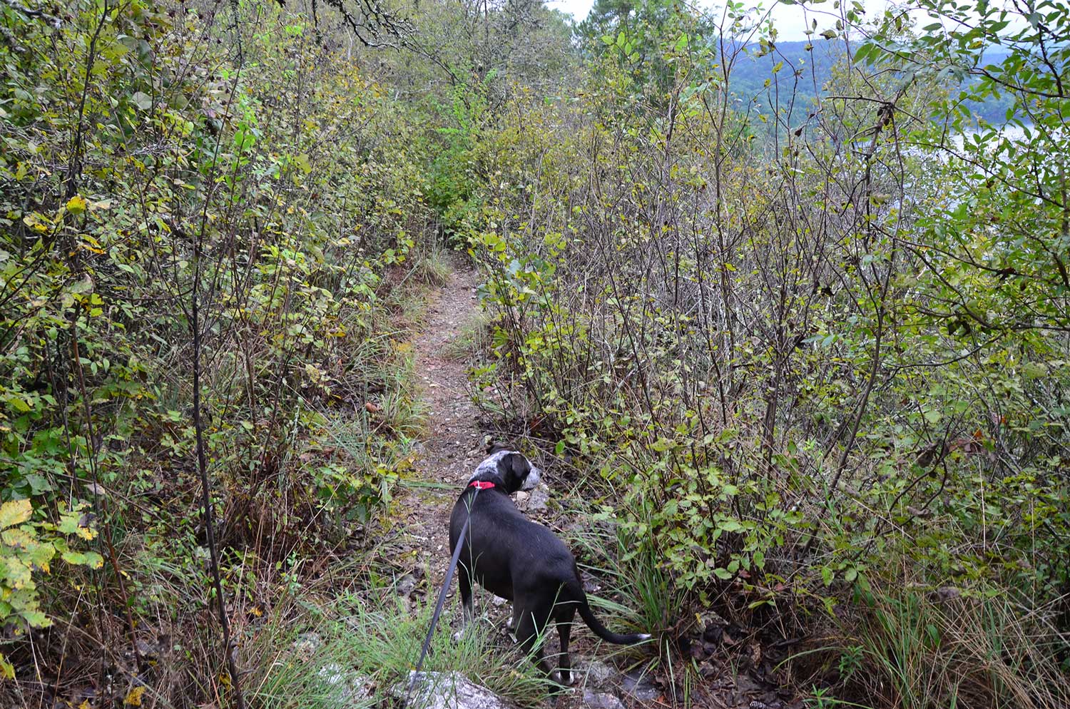
The Dam Mountain Trail takes you deep into the park. It takes you so deep that it is closed during deer season because it runs near land used for deer hunting.
The Dam Mountain Trail is marked with white blazes. All three trails begin on the same path but quickly split. When you come to the fork you have the option to go left, straight, or right. For the Dam Mountain Trail, follow the path to the left.
There is an excellent sign that tells you which way to go and whether the trail is rugged and steep. The Dam Mountain Trail is labeled as rugged and steep.
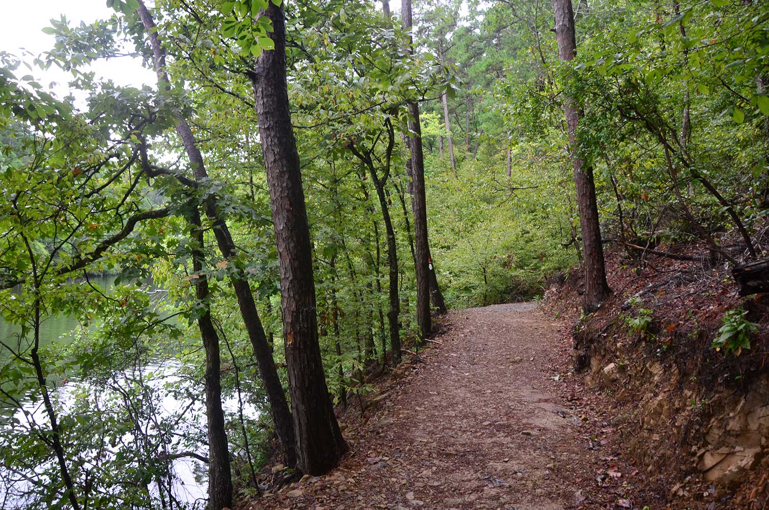
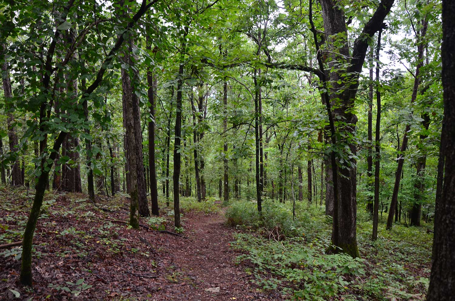
As you go to the left, you head toward the campground and the lake. The woods are beautiful on this part of the trail. They are flat and open, but be mindful to stay on the trail. There are signs directing you to do so because they are trying to reforest the area.
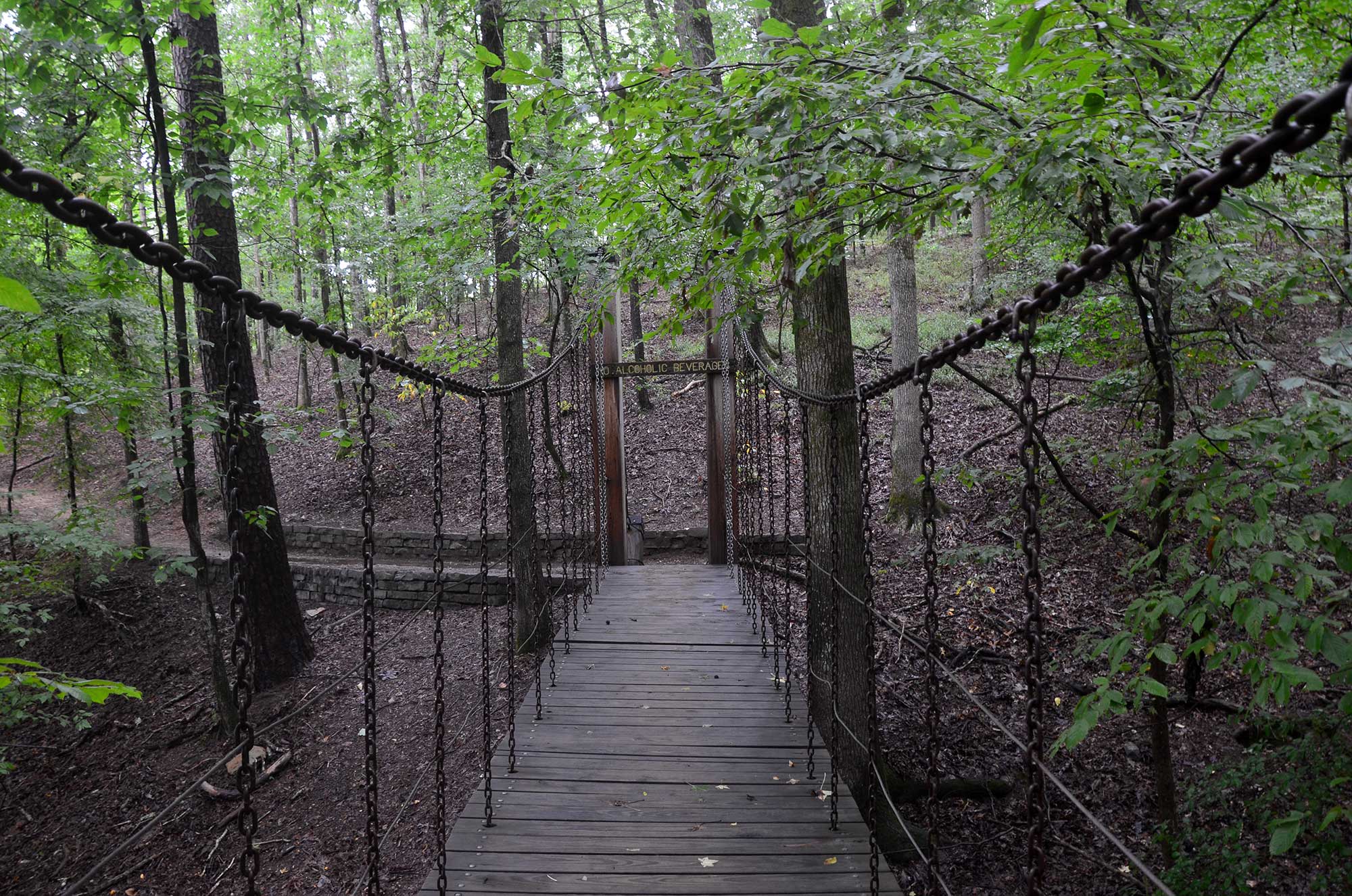
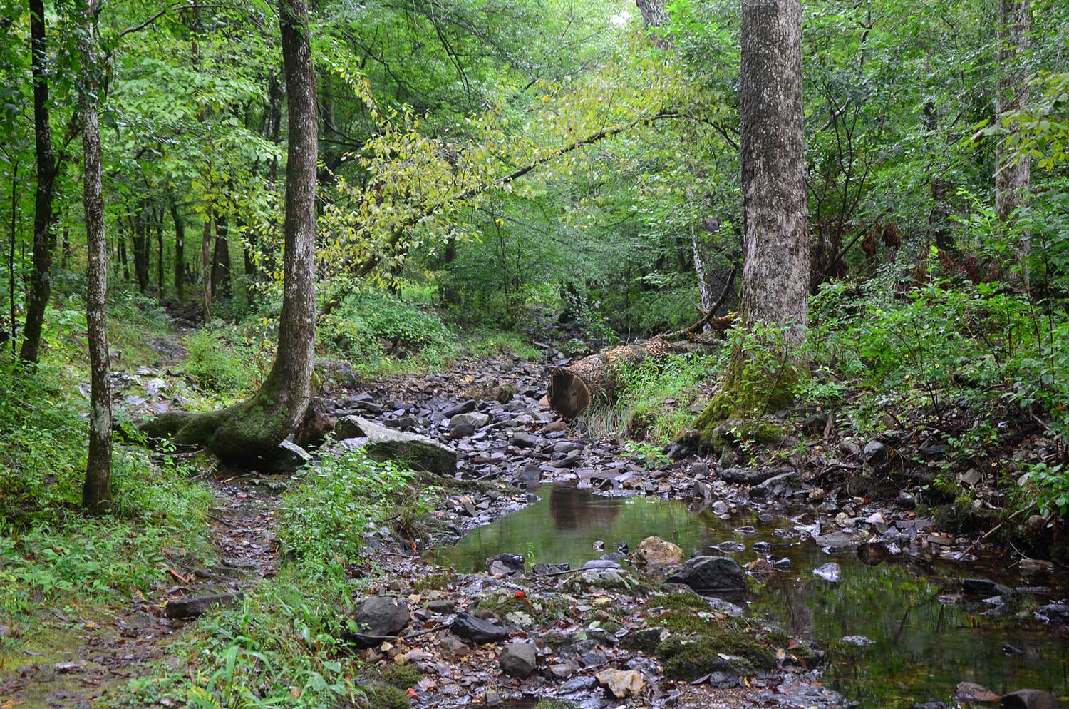
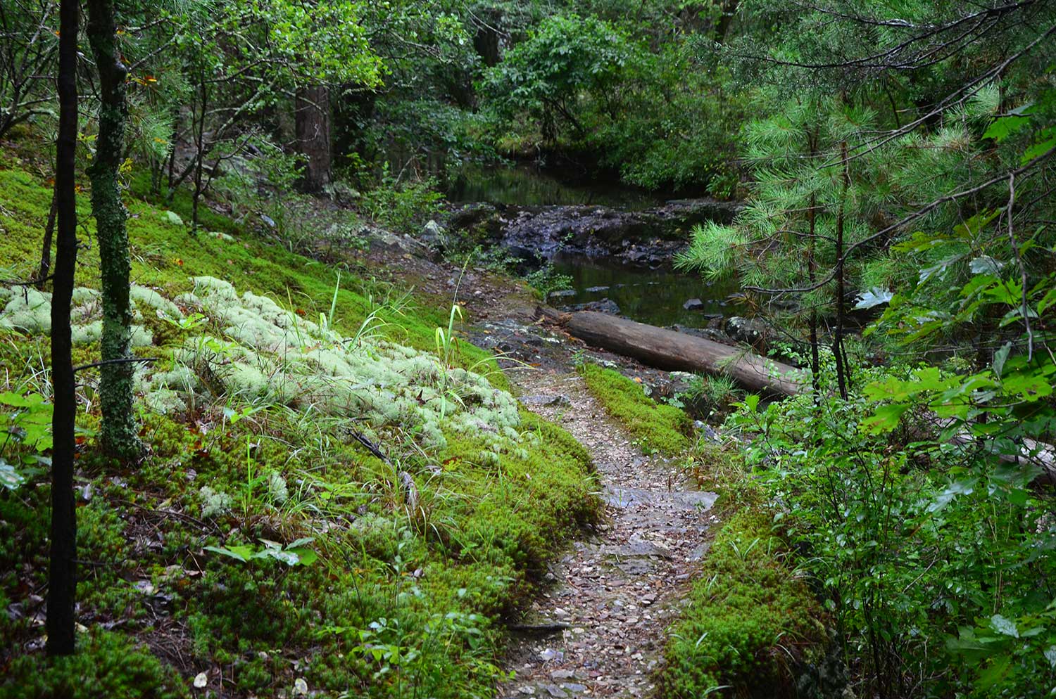
The trail soon makes a turn to the right and crosses a small stream. You will parallel the lake for a little ways after the turn. You will cross another small stream but this time you get to cross it on a swinging bridge. The bridge is fun.
where the waterfall is located.
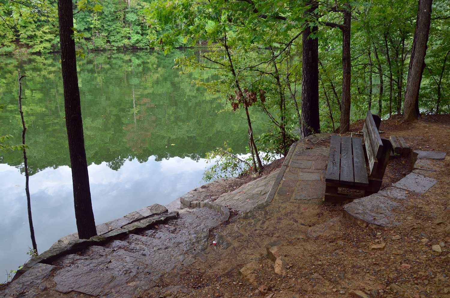
The trail follows the lake a little more and then turns to the right and takes you into a cove created by Falls Creek. At the turn there is a nice bench and steps leading you to the lake. This is a great place to take in the fall foliage in autumn or cool off in the deep water of the cove in the summer.
overlooks the lake.
The trail follows the shore of the cove until you reach Falls Creek Falls. I love this narrow valley.
Side note: kayaking to the waterfall is also something I love to do at Lake Catherine State Park.
Once you get to the waterfall, you can follow a spur trail to the bottom for viewing or swimming.
Waterfall to the Overlook
The Dam Mountain Trail crosses Falls Creek Falls above the falls. Once you cross the creek, you are at the loop and you have the option to go right or left.
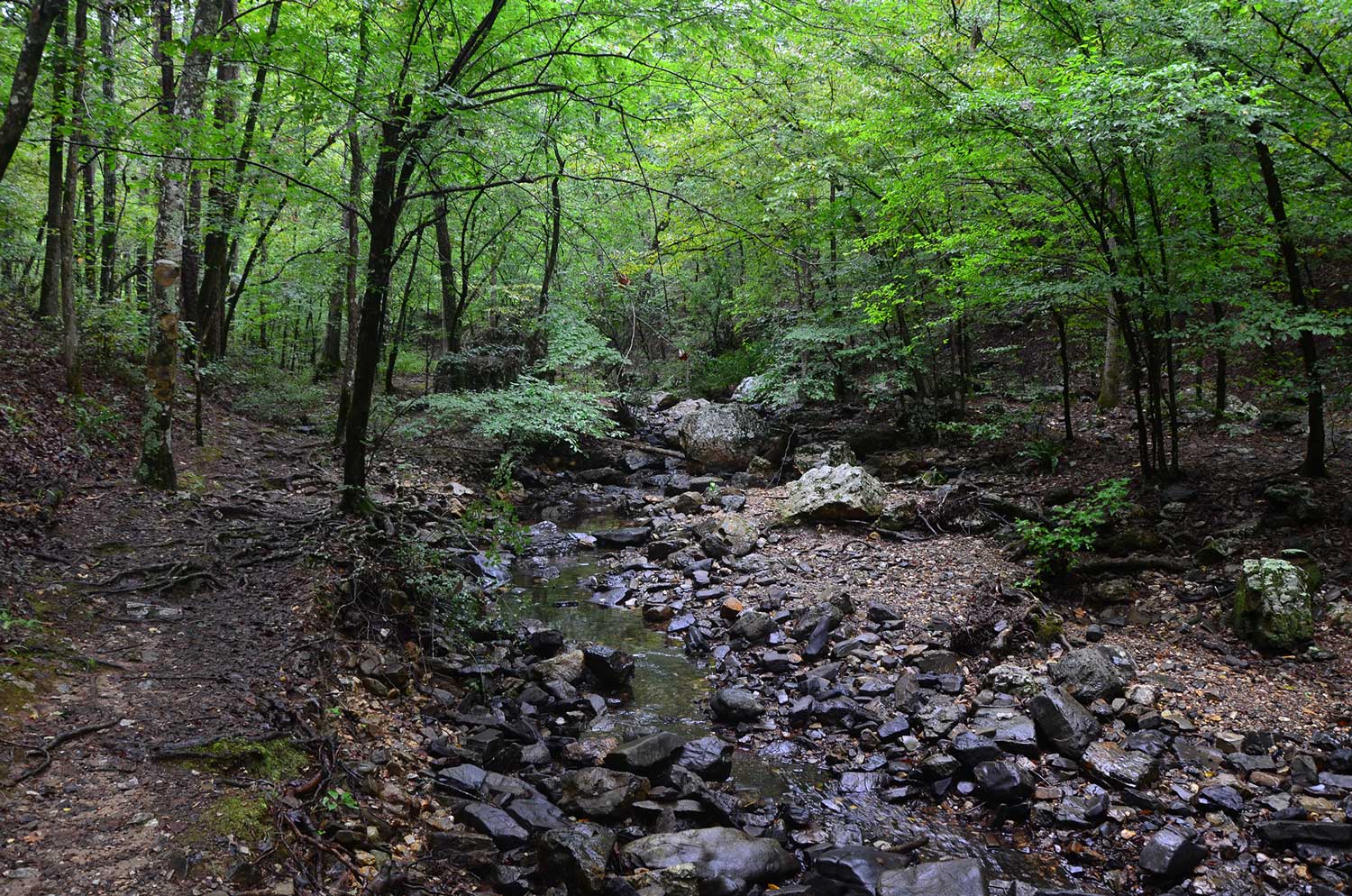
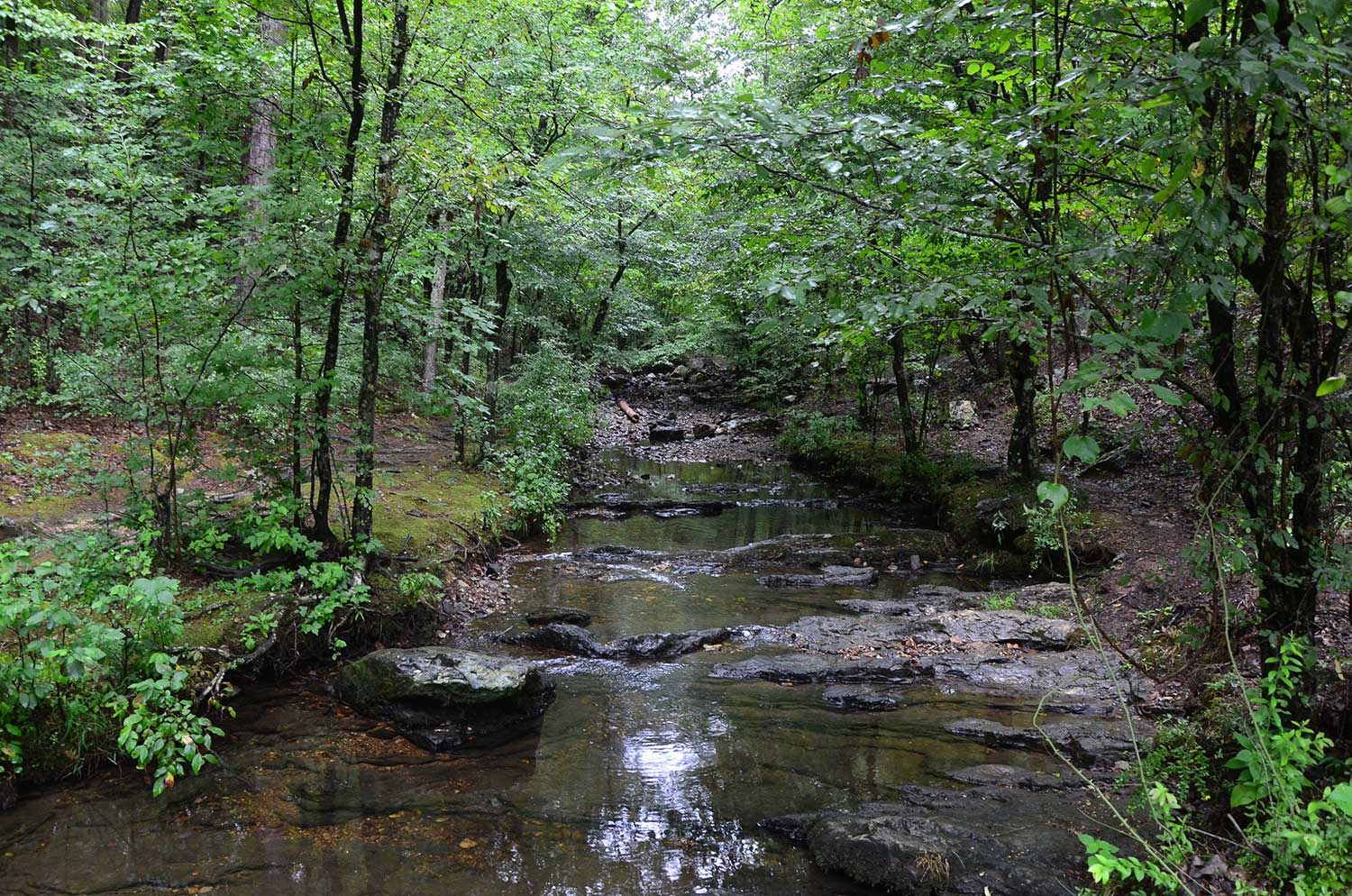
I like to go right because the trail follows the creek, and I like to look upstream toward the creek’s small cascades.
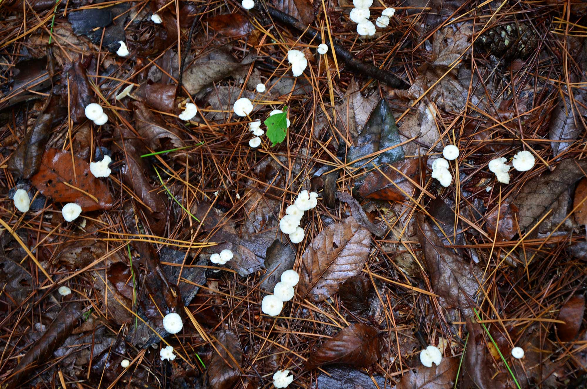
The Dam Mountain Trail soon turns to the left, and you begin following a small tributary of Falls Creek. After a good rain the trail from the waterfall to where it leaves the small tributary is a really nice section of the trail.
Then the trail makes its first ascent toward the top of Dam Mountain with a few switchbacks. They are not too bad, but the climb is enough to make me breathe a little heavy.
Soon the trail levels out again.
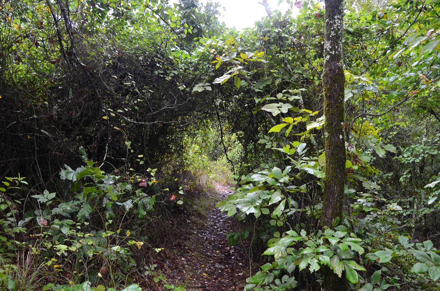
You can tell the trail is not used as much as the popular Falls Branch Trail because the forest seems to be wanting to reclaim it. I had to push a few vines out of my way on my hike during September 2017. But there was one area where the vines make a tunnel around the trail, and that was really cool.
interesting.
When the dirt path becomes novaculite rocks, you begin your second and final ascent to the top of Dam Mountain.
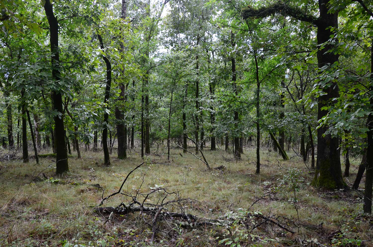
After you get to the top, the trail snakes around mountain glades. Some parts are open woods with grassy understory. This is my favorite scenery.
At other times, the trail is walled by thickets, but it isn’t too bad. Just be careful of some of the briers reaching out to grab at you.
Keep you eyes out for the views of the surrounding mountains and valleys to the left. They peek out at you through the trees.
Overlook to the Trailhead
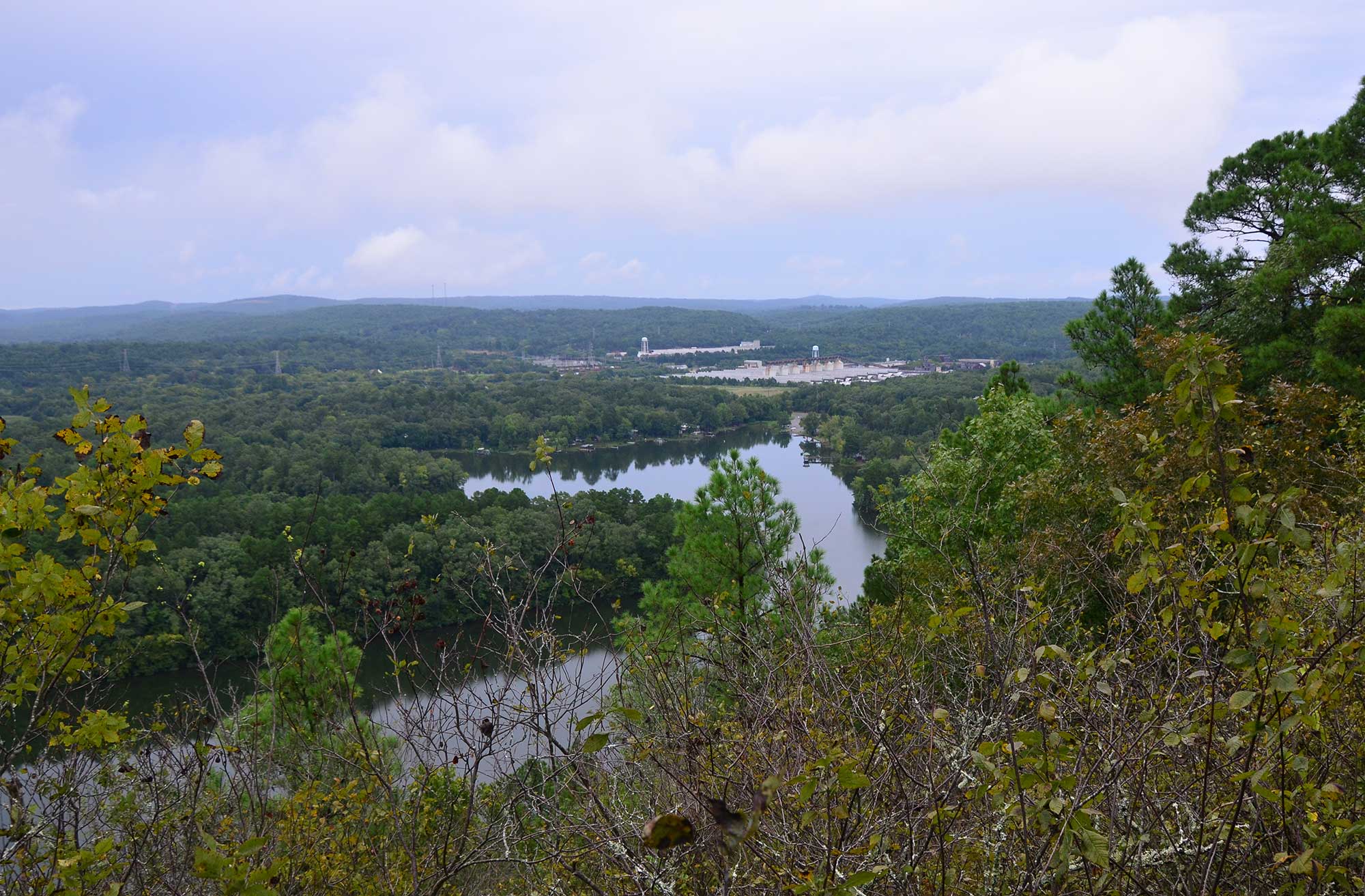
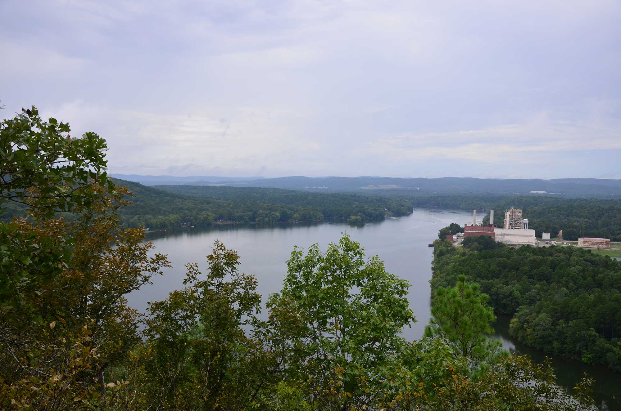
As the trail turns to parallel the lake, there is an overlook to your right. From here you can see Remmel Dam, Lake Catherine, and miles of the Ouachita Mountains.
On a clear day, you can see the buildings from downtown Hot Springs rising out of the valley. It is really a unique view.
There is also a bench for taking in the view. The trail follows the lake a little ways, but you soon come to a fork in the path. Here you will want to stay to the left.
A little further down the trail, there is another vista and bench. The trail then snakes around the top of the mountain through the mountain meadow vegetation.
The trail then begins to descend steeply back toward the waterfall.
Just before you get to the waterfall, you have to hike down a few large rocks. Be careful here. I slipped on them and fell once. And then a man hiking behind me did the same thing. It can get slick.
There are beautiful views of the water from this point, and it would be a great place to take another break if you need one.
You will cross back over Falls Creek in the same spot above the waterfall. Take a right here to return back to the trailhead on the initial spur.
Or you could take a left to make a double loop hike and return to the trailhead via the other part of Falls Branch Trail.
Alternate Routes
If you hike back via the Falls Branch Trail, it will add to your mileage a little. That trail is nice and well worth the extra effort.
If you are really wanting to add some miles, you can hike the Falls Branch Trail to where it intersects the Horseshoe Mountain Trail and go back to the trailhead via the Horseshoe Mountain Trail.
That is a great thing about all three trails beginning at the same trailhead. You have multiple options on how to do your hike.
Final Notes
There is so much to love about this trail. I love the mountain glades on the tops of the ridges, the waterfall, the views of the lake from the shore and above, and the views of the streams as you hike into the woods.
The park rates the trail as steep and rugged, but the steep and rugged parts are short and once you get to the top, it levels out.
I rate the difficulty as moderate (3 of 5).
The photos are all from my September 6, 2017 hike, except for the Falls Branch Falls one. I took that shot on February 10, 2013.
Photo Gallery
Click below for full-screen photo gallery.
Map
Lake Catherine State Park - Dam Mountain Trail |
|
|---|---|
| Location | Hot Spring County, Arkansas |
| Length/Type | Semi-loop with an initial .6-mile spur and a 2.4-mile loop. The entire hike is 3.6 miles. |
| Difficulty | Moderate (3 of 5). |
| Other permitted usage? | Pets on leash. |
| Gpx file (by Mike) | Link |
| Date Hiked | September 6, 2017 |
| Directions | Google Maps Directions to Lake Catherine Trailhead |
| Official Info - Phone/Links | 501-844-4176 Website Official Lake Catherine Trail Brochure (pdf) |
[A version of this post was originally published on September 7, 2017 in the blog “Right Kind of Lost.”]
Last revised: 9-19-2019.