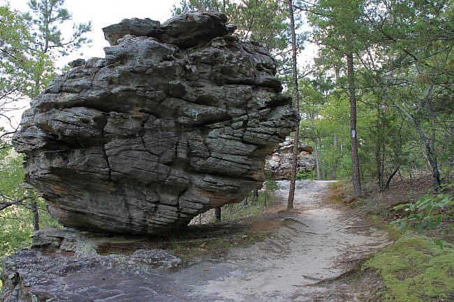
The Bear Cave Trail at Petit Jean State Park (Conway County near Morrilton) is a very short trail—only about a quarter-mile long loop.
But it is more than a short trail. It is a spectacular rock formation area to walk around in and explore. There is a lot to see here.
Getting to Bear Cave Trail at Petit Jean
The Bear Cave Trail is toward the west end of Petit Jean State Park on Petit Jean Mountain.
If coming from Little Rock, head west on I-40. Take Exit 108 in Morrilton and head south on Highway 9/113. After about 5 miles, take a right at Oppelo onto Highway 154 heading west. Highway 154 (Petit Jean Mountain Road) will take you into the park.
If heading from the west, take Exit 81 on I-40 at Russellville. Head south on Arkansas Avenue (Highway 27) to Dardanelle. Then turn left on Highway 22. After a mile it turns into Highway 7 (heading south). After another mile, take a left onto Highway 155 (south). After 8 miles, Highway 155 ends. Take a left (east) on Highway 154. It will take you to Petit Jean.
The Bear Cave Trailhead is on Highway 154, about a mile west of Mather Lodge. It is near the Seven Hollows Trailhead. Watch for the signs.
There is parking here.
The Trail
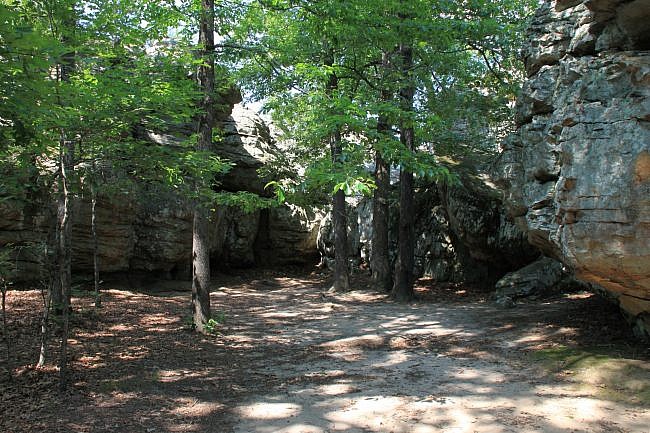
As you start down the trail, you will immediately come across several huge stones with pathways cut through them. There are several small walkways here through the large rocks. A couple lead to dead ends, and a couple find their way through to the other side.
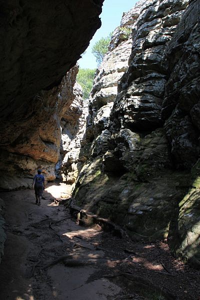
The main pathway through is the “Eye of the Needle” – a very narrow passageway through the stones that is just amazing to hike through. You should not have to climb up any rock ledges here, so if the road ahead looks challenging at all, you’re not in the Eye of the Needle.
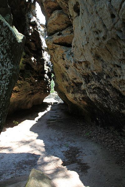
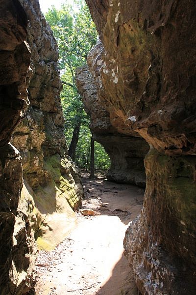
Once you get to the other side of the passageway through the rocks, there are three options. One path goes to the right and makes a short climb to the top of the large boulders you just walked through.
This one is definitely worth checking out. It eventually curves back around to the parking lot.
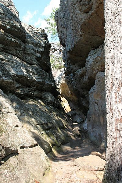
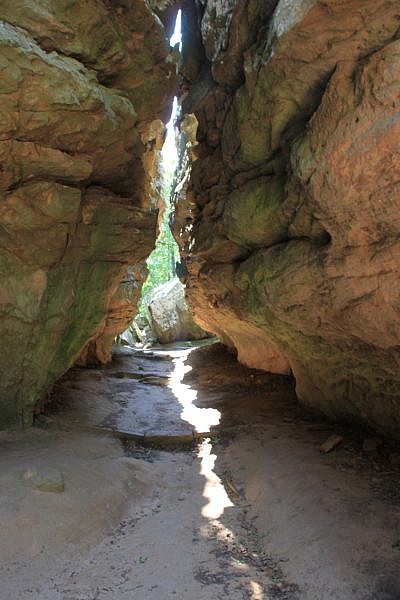
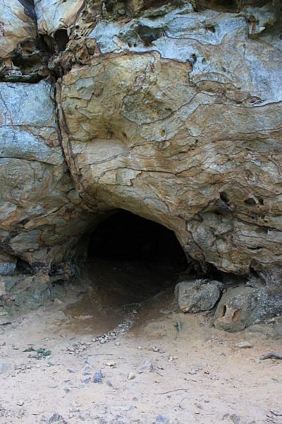
The pathway to the left curves down to the Bear Cave. It is really more of a small indentation into the stone.
This area has a series of wood ties that at one point would have made for a stairway down, but erosion has taken its toll, so this path is more of a mess than a trail.
This little spur loops around the cave and back up to the parking lot as well.
At the turn, there is also a trail that goes straight. There are two large boulders to the left as you start out on this trail. At that point, the trail blazes also turn from green (indicating the Bear Cave Trail) to white (indicating the 12-mile long Boy Scout Trail).
If you see the white blazes, and only want to do the Bear Cave area, then turn around and head back the way you came.
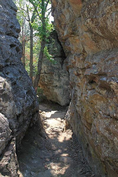
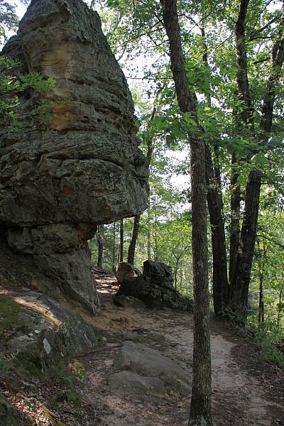
This is a really fun area. We enjoyed exploring just about every nook.
Plan to spend some time here, as it is a natural playground that is well worth the time to explore.
Final Notes
There is some limited incline on the trail. The elevation change is about 50 feet.
For footwear, I recommend at least a sturdy pair of tennis shoes.
While at Petit Jean, you may want to check out Cedar Falls Trail, Seven Hollows Trail, or Cedar Creek Trail.
These photos are from our July 1, 2013 visit to the trail.
Photo Gallery
Click below for full-screen photo gallery.
Map
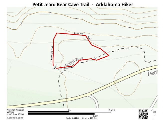
Petit Jean: Bear Cave Trail | |
|---|---|
| Location | Petit Jean State Park (near Morrilton), Conway County, Arkansas |
| Hike Length/Type | .25-mile loop. Green blazes. |
| Difficulty | Easy (1 of 5) |
| Other Permitted Usage | Pets on a leash. |
| Gpx file by Mike | Link |
| Date Hiked | July 1, 2013 |
| Directions | Google Maps Directions to Bear Cave Trailhead |
| Official Info | (501) 727-5441 Website Official Petit Jean Trails Brochure (pdf) |
[A version of this post was originally published on December 30, 2013 in the blog “Exploring Northwest Arkansas.”]
Last revised: 9-19-2019.


