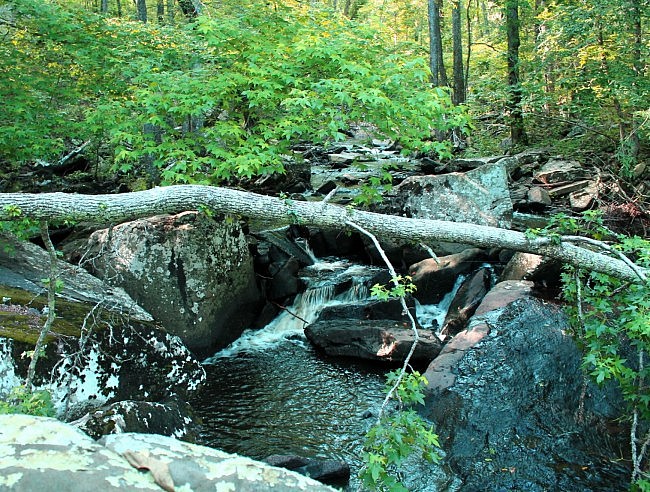
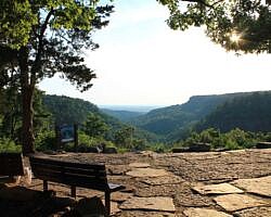
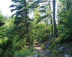
About a week ago, I got to hike the Cedar Creek Trail (aka “Cedar Creek Self-Guided Trail”) at Petit Jean State Park. It had been about 4 years since I hiked this trail, and I had forgotten how pretty it is.
It is especially nice after there has been recent rain. When I hiked it last week, there had been quite a bit of recent rain in central Arkansas.
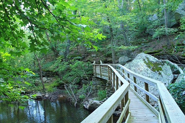
This 1.1-mile loop trail has some climbing, but it is not very difficult. There is only about 240 feet of total elevation gain. The net elevation change is about 120 feet.
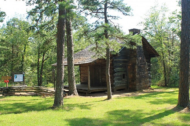
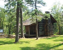
The Cedar Creek Trailhead is easy to find. It is on the park’s main road (Petit Jean Mountain Road), about a half-mile east of Mather Lodge. Just watch for the pioneer cabin at the trailhead.
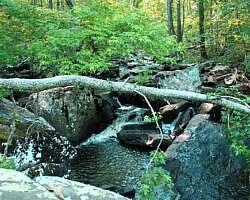
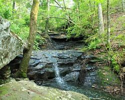
From the trailhead, the trail proceeds downhill to Cedar Creek. (This is upstream from the Cedar Falls Trail.) Adjacent to much of this part of the trail is a small stream (when flowing) with some nice cascades and mini-waterfalls.
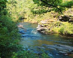
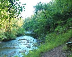
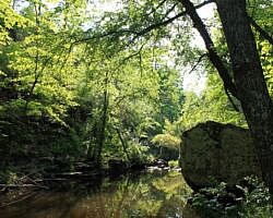
At Cedar Creek, there is a footbridge crossing. The trail then turns right and goes along the creek’s north side for about .4 miles. On the north side, part of the trail is near the creek level and part is a few dozen feet higher. This stretch, also part of the Boy Scout Trail, has some very nice views of the creek.
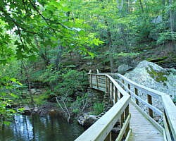
The trail then crosses the creek over a longer footbridge to the south side. It then turns right and climbs uphill, heading back to the trailhead. For the most part, the creek isn’t visible for this part of the hike during leaf-on.
The trail was well marked and in good condition.
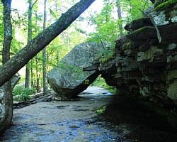
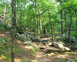
Like many of the trails at Petit Jean, there are some really cool rock formations along the trail. One of the most impressive is a large leaning slab rock (pictured) that the trail goes under before the second footbridge.
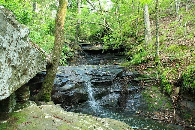
Of course, Cedar Creek, when flowing, is beautiful. But as the official brochure indicates, the area of Cedar Creek to the west (downstream) from here is a designated restricted area. This is the area that approaches the top of Cedar Falls.
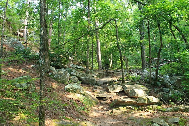
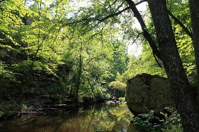
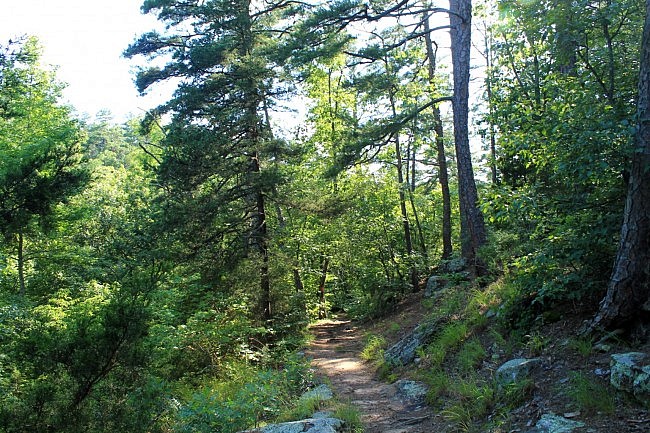
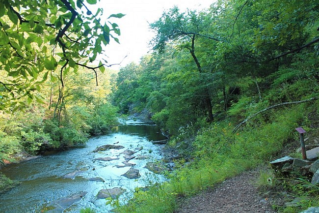
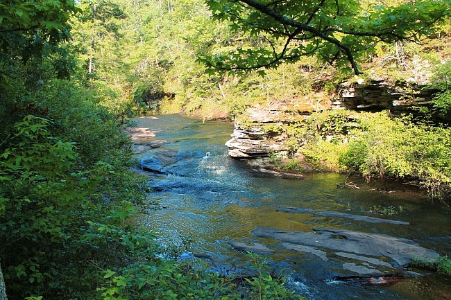
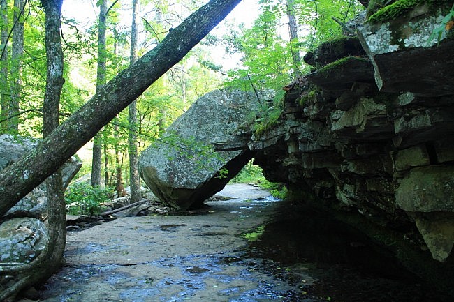
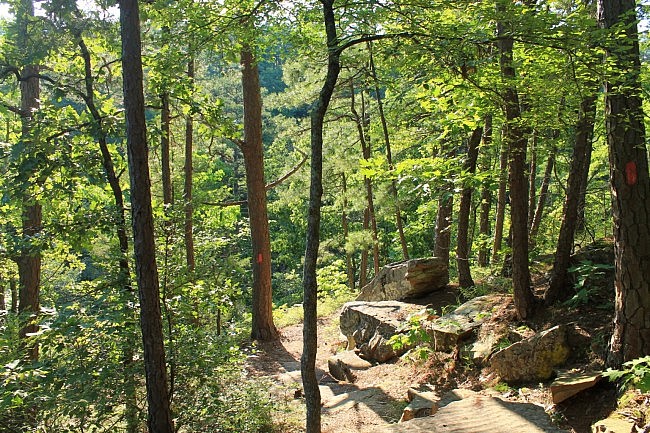
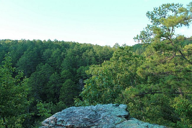
These photos are from my June 24, 2014 hike.
While at Petit Jean State Park, you might also want to check out Cedar Falls Trail, Seven Hollows Trail, or Bear Cave Trail.
Photo Gallery
Click below for full-screen photo gallery.
Map
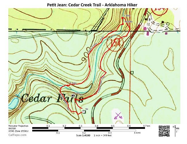
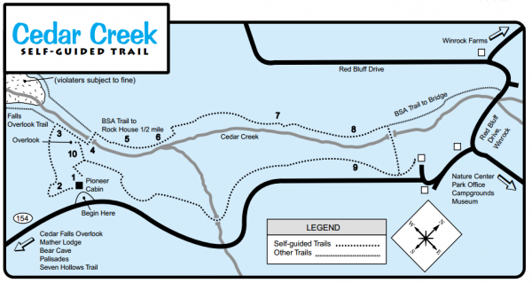
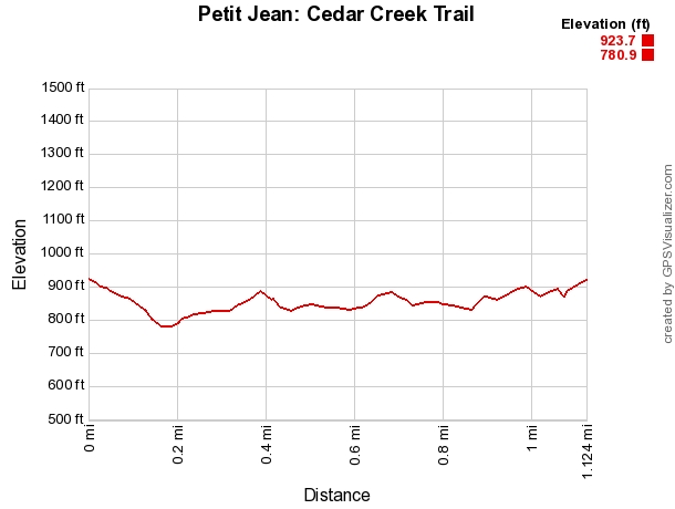
Petit Jean: Cedar Creek Trail | |
|---|---|
| Location | Petit Jean State Park (near Morrilton), Conway County, Arkansas |
| Hike Length/Type | 1.1 mile loop. Red blazes. |
| Difficulty | Mildly challenging. (2 of 5). |
| Other Permitted Usage | Pets on a leash. |
| Gpx file by Mike | Link |
| Date Hiked | June 24, 2014 |
| Directions | Google Maps Directions to Cedar Creek Trailhead |
| Official Info | (501) 727-5441 Website Official Petit Jean Trails Brochure (pdf) |
[Last updated: 10-25-2020.]

2 replies on “Petit Jean: Cedar Creek Trail – 1 mi”
Fantastic blog, absolutely magnificent site, great pictures and and information ! My sincere thanks and congratulations for a very helpful tool in planning our first vacation in Arkansas and Missouri.
Thanks for the kind comments, Marian! We are glad it is helpful. Mike