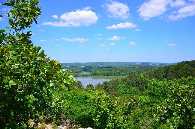
The 2.7-mile Horseshoe Mountain Trail at Lake Catherine State Park (Hot Spring County, near Hot Springs) is a gorgeous and unique trail to the Ouachitas.
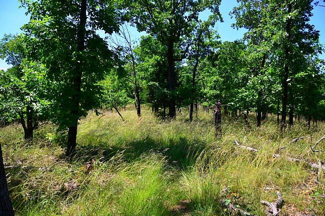
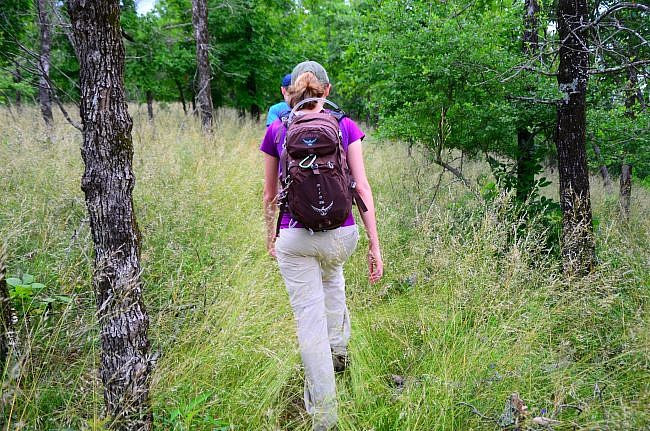
Most of this vigorous trail is on a horseshoe-shaped ridge line through glade vegetation, which makes the trail beautiful and unique. I love the shorter trees and taller grasses on this part of the trail.
Getting to Horseshoe Mountain Trail
Lake Catherine State Park is between Hot Springs and Malvern on Highway 171, also known as Catherine Park Road. You can take Exit 97 from I-30 at Malvern and follow that road until it dead ends at the park, about 12 miles from the interstate.
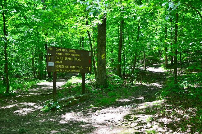
The trailhead is at the south end of the Camp Area C bathhouse loop, near the amphitheater. This is the same trailhead for the Falls Branch Trail (with the waterfall) and the Dam Mountain Trail.
Hiking the Trail
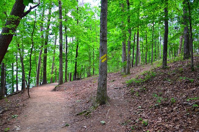
The Horseshoe Mountain Trail is well-marked with yellow blazes and pretty easy to follow. It is a semi-loop with a short initial spur.
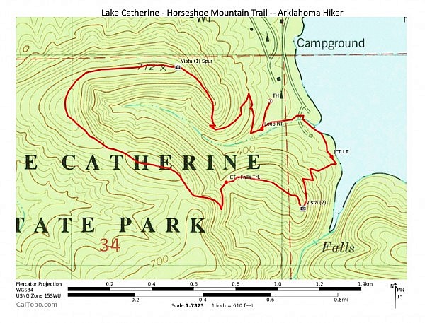
At about .1, you reach the loop. The trail splits into three directions. The trail to you right is where the Horseshoe Mountain Trail splits from all three trails. There is a large sign here with directions.
I recommend following the sign and turning right to take the loop counterclockwise. (The climb is a little less strenuous than going the other way.)
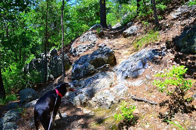
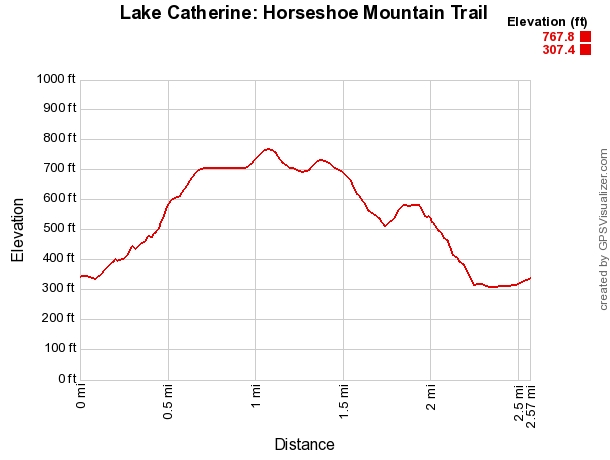
The trail quickly heads uphill from here. It’s not terribly steep, but I soon noticed I was well above the trailhead.
The first half-mile or so winds, mostly uphill, through a scenic forested area.
During the climb, you come to a rock outcropping. From there you can see the ridge to your left, which is the other side of the “horseshoe.” I love looking across the valley and seeing where I am going.
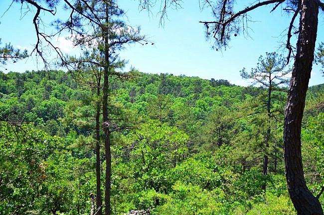
Horseshoe Mountain loops a fairly narrow valley. This is the valley that the Falls Branch Trail leads hikers through.
Once you get on the ridge around .6 (and you may have to wade through a sea of grass), keep an eye out to your right through the trees for views of Hot Springs.
At about .7, there is a short spur trail to the right that goes to a pretty north-facing vista. It may be easy to miss this spur due to lack of a functioning directional sign. (On my visit, there was just a post there, and I walked past it not realizing what it was.)
The Horseshoe Mountain Trail intersects the Falls Branch Trail twice. A great place to take a long break is at the first intersection. There is a bench here so you don’t have sit on a rock or on the ground.
The trail will head west-ish for a while before rounding the bend of the horseshoe (around 1.1) and heading back east-ish. As you make the bend, you pass through a stand of larger trees that is typical of hiking in the Ouachitas.
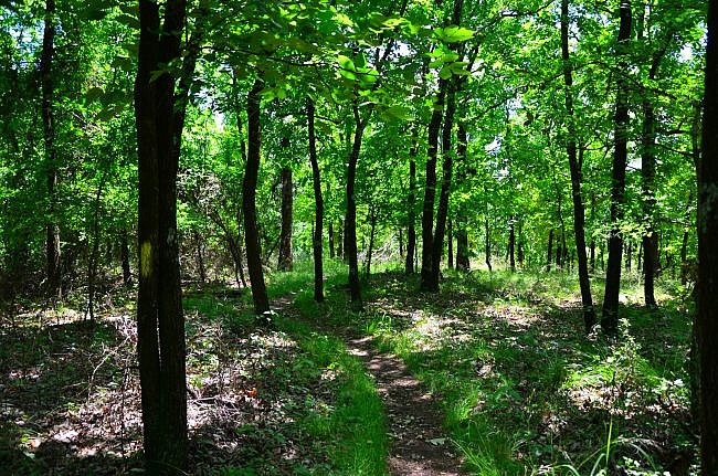
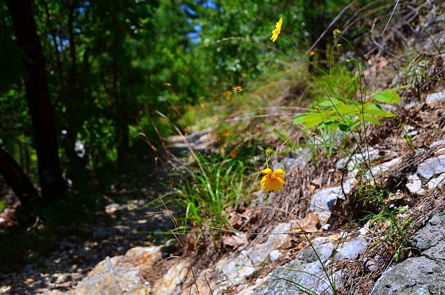
But the trail shortly returns to the glade setting. I was there in early May, and the wildflowers were beautiful. So if you can put up with the sticky grass (assuming it is not cleared when you are there), I suggest hiking it in the spring.
Finishing Up the Loop
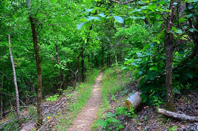
From here, the trail heads back down into the valley. It heads back into the shaded forest during the descent. You can really feel and see the trail drop in elevation. But it’s not too hard of climb if you are hiking from the other direction.
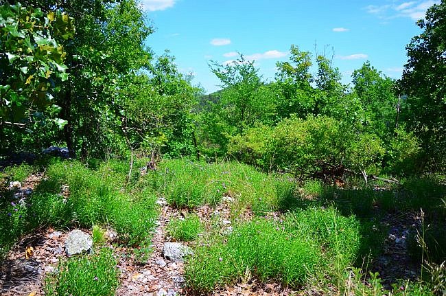
From there you have a short climb back up to the ridge, where there is more grass, shorter trees, and flowers. You are on the ridge for a little while before the trail enters back under the forest canopy.
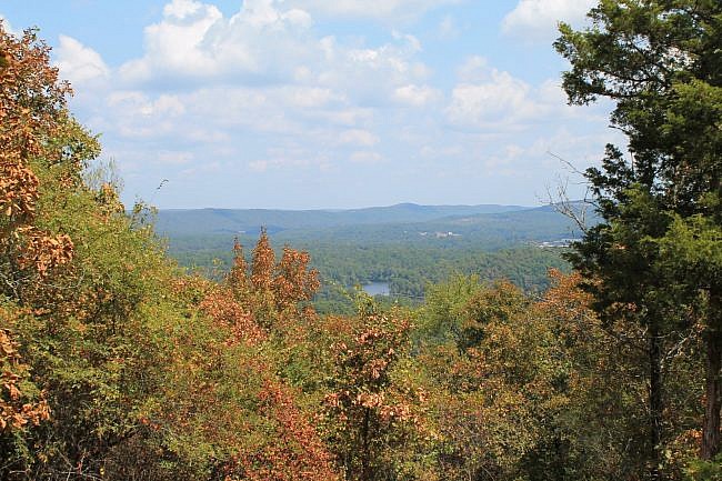
There is a very nice south-facing vista at around 1.8 miles. From here you can see the lake and the ridge on the other side of the valley from the waterfall. When hiking in the fall, it would be a great spot to take in the foliage.
At this point, the trail steeply drops down into the valley through a pretty wooded hillside area.
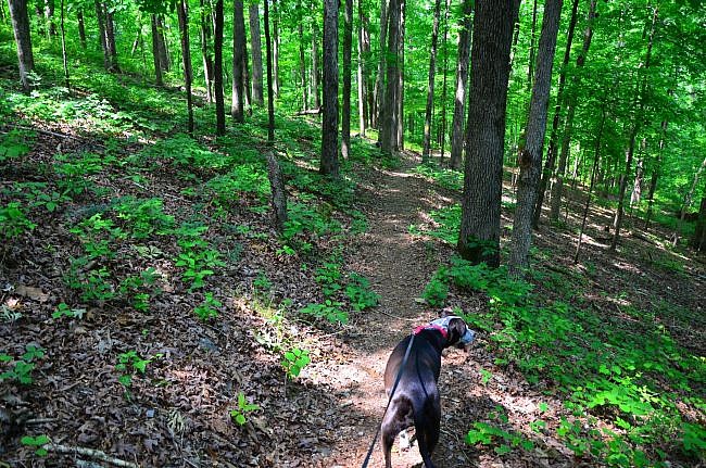
At the bottom of the hill, about 2.2 miles, the trail meets back up with the Falls Branch Trail near the lake and follows it back to the trailhead. (This is the place where you would have split to the right after crossing the swinging bridge if you had hiked the trail in reverse.) Turn left here to continue the trail and the loop.
There are some very pretty views of the lake in this stretch.
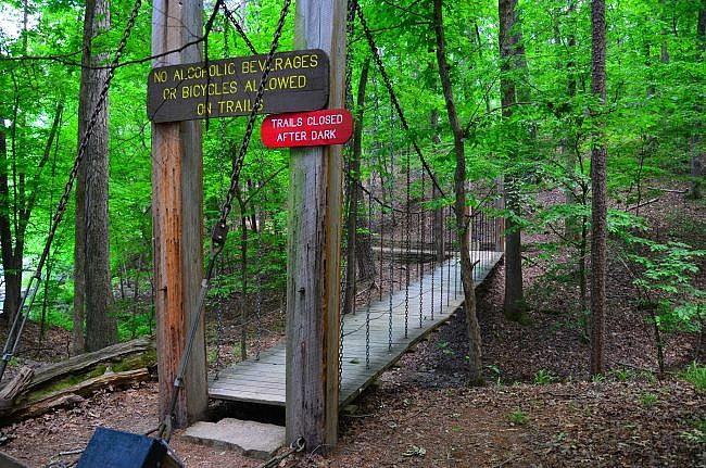
Shortly, the trail crosses a swinging bridge. Caddie, my dog, is not a fan of that bridge. But it is really fun.
Back to the Trailhead
After crossing the swinging bridge, the trail goes briefly near the park’s wastewater treatment facility. (You may have a brief unpleasant smell in this area.)
Once you can see the campgrounds, be sure to stay to the left. The trail goes back through a reforest area. Even though you can see the trailhead parking lot, it is important to stay on the trail in this area so you don’t harm the fragile ecosystem.
At around 2.6, you are back to the initial spur. Take a right to get back to the trailhead.
Final Notes
There is about 500 feet of elevation change on the trail (i.e., between the highest and lower points).
When hiking during warm months in Arkansas, bug spray is recommended, especially when you may be wading through some grass in the higher elevation area of this trail. Also be prepared for extra sun exposure in that area as well.
If you want to see Falls Branch Falls on the hike, and finish the other side of the Falls Branch Trail loop, turn right here where the trail meets the Falls Branch Trail. This option adds about 1.5 miles to the hike.
The first time I hiked the trail, we went clockwise, and I had to take many breaks. There are switchbacks, but even the switchbacks are steep.
The photos in this post (except for Mike’s photo of the north vista) were all taken on my May 8, 2017 hike. Check out some video of my hike here.
Photos
Click below for full-screen photo gallery.
Map
Lake Catherine State Park - Horseshoe Mountain Trail | |
|---|---|
| Location | Hot Spring County, Arkansas |
| Length/Type | 2.7 mi. Semi-Loop |
| Difficulty | Strenuous (4 of 5) |
| Other permitted usage? | Pets on leash. |
| Gpx file (by Mike) | Link |
| Date Hiked | May 12, 2012 |
| Directions | Google Maps Directions to Horseshoe Mountain Trailhead |
| Official Info - Phone/Links | 501-844-4176 Website Official Lake Catherine Trail Brochure (pdf) |
[A version of this post was originally published on May 11, 2017 in the blog “Right Kind of Lost.”]
[Last revised: 8-22-2021.]


