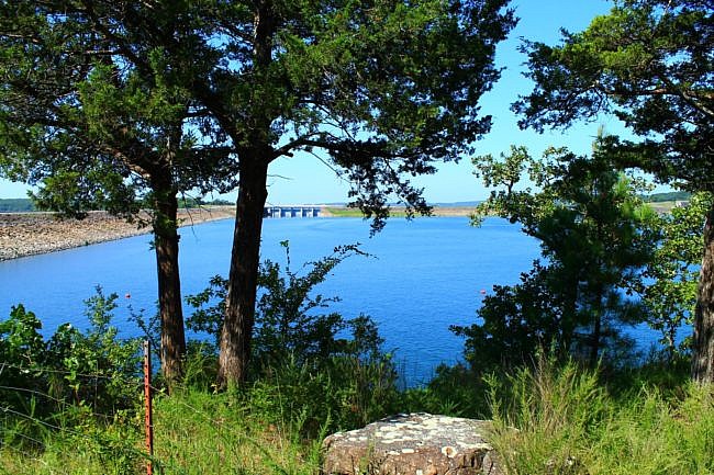
11-1-2024 Note: Mike visited this paved trail on 11-2-2024. At that point, the building where it starts was not currently being used as the visitor center. So you may need to ask where the old visitor center is. The path starts next to the building (on the right if you are facing the building and runs briefly along the parking lot.
The Tenkiller Multi-Use Trail is an enjoyable multi-use paved trail at Tenkiller State Park in northwest Sequoyah County, Oklahoma. It is a pleasant and easy walk through the front part of the park which heads to a pretty lake overlook.
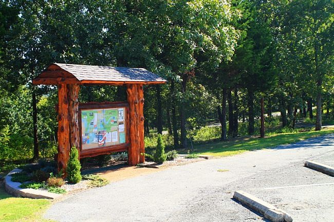
Getting to the Tenkiller Multi-Use Trail
If you’re coming from the east on I-40, take Highway 82 north through Vian for about 9 miles. Then turn left and head west on Highway 100 for about 3 miles. Tenkiller State Park will be on your right, prior to crossing Tenkiller Ferry Dam.
Head into the park to the visitor center. The paved multi-use trail starts next to it.
When I was last there, there was a sign that said Whispering Pines Trail at the start. To the best of my knowledge though, it is still referred to as the Multi-Use Trail.
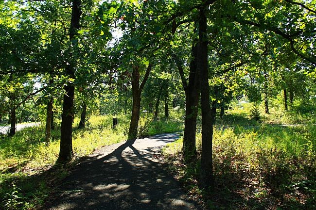
The Trail
Even though this is a paved path which is only partially wooded, it is still a pleasant easy walk through the front part of the park.
The path takes you past cabins, some pavilions, and a scenic fishing pond area.
I think the coolest area is the wooded part with a small loop at the end of the trail. The endpoint of this part is Crappie Point. It has some nice views of Lake Tenkiller and the dam and floodgates.
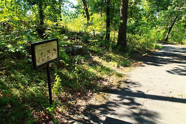
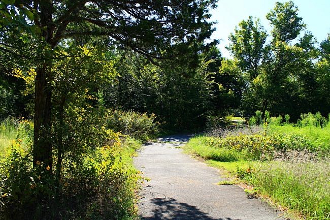
It is about 1.3 miles to walk the entire trail down to Crappie Point and back.
There are a few nature information signs along the trail.
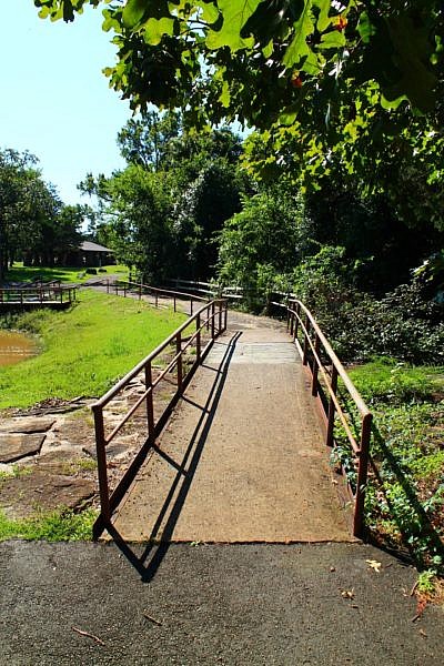
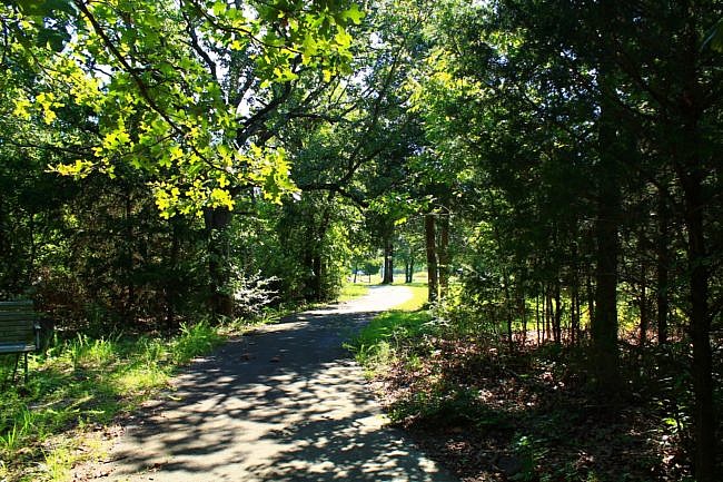
I had AT&T cell signal about 75% of the time.
These photos are from my August 19, 2017 visit to the trail.
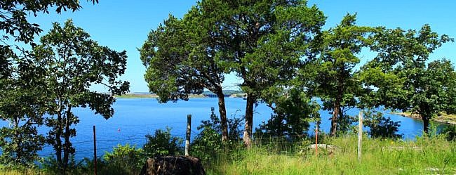
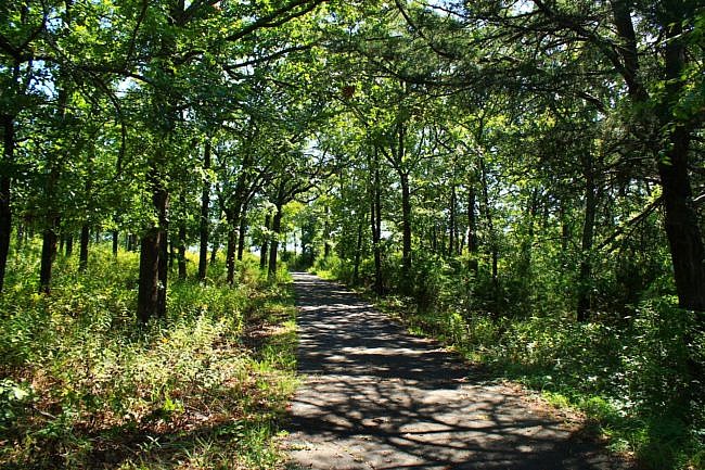
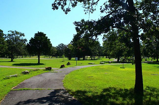
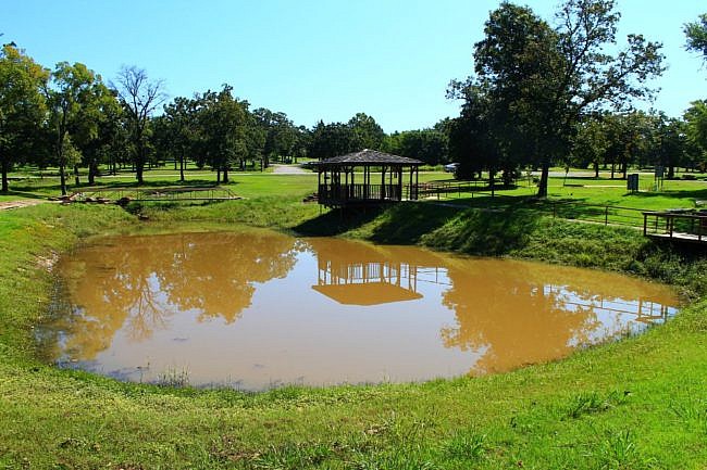
Photo Gallery
Click below for full-screen photo gallery.
Map
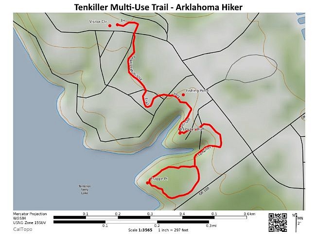
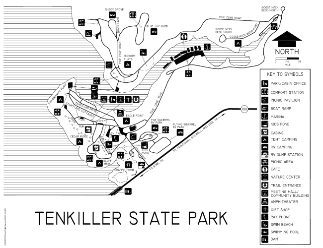
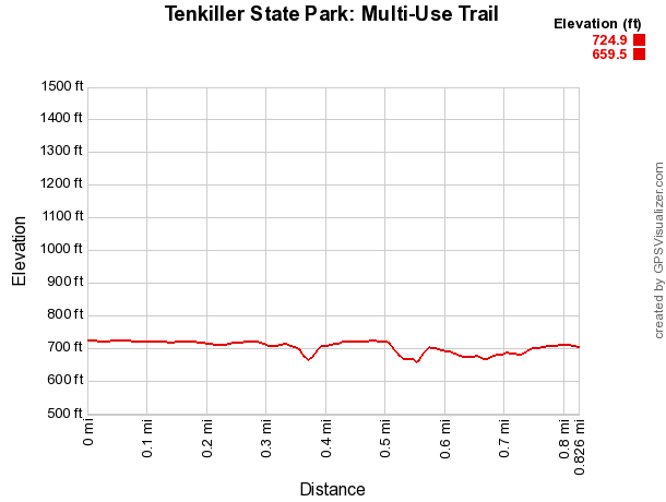
Tenkiller State Park: Multi-Use Trail | |
|---|---|
| Location | Tenkiller State Park - Sequoyah County (near Vian), Oklahoma |
| Length/Type | 1.3 miles (out and back) - paved |
| Difficulty | Easy (1 of 5). |
| Gpx file (by Mike) | Link |
| Date Hiked | August 19, 2017 |
| Directions | Google Maps Directions to Tenkiller State Park Visitor Center |
| Official Info | (918) 489-5641 Website Official State Park Map (pdf) |
Note: In most Oklahoma state parks, you will probably need to pay a day use fee of $8 to $10.
Last revised: 8-15-2021.


