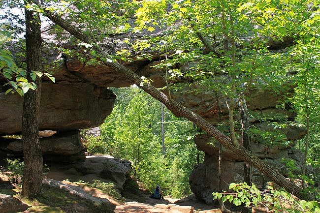
Seven Hollows Trail at Petit Jean State Park (Conway County near Morrilton) is a first-rate hike that features a natural bridge, a grotto waterfall, an a lot of unique views with diverse plant life ranging from ferns to cacti.
The trail takes its name from the seven small streams that run through the area, all of which have carved their own hollows.
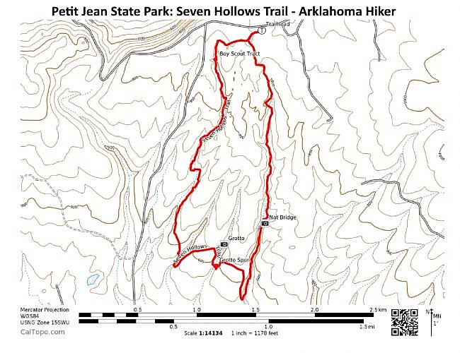
The official trail length is 4.5 miles. (Mike’s gps calculation puts it closer to 4.1 miles.) The short spur to the grotto (with seasonal waterfall) adds .2 miles.
It is a loop trail that follows through four of the seven hollows and along ridges between the hollows. Bluff lines, tumbling water (in spring), and interesting plant life are abundant.
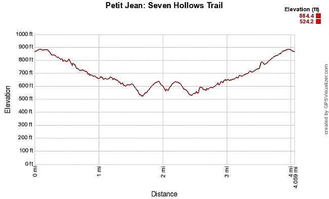
It is a vigorous hike with an elevation change of about 360 feet. Most of the climbing is on the second half of the loop.
This is a great hike with a lot to observe, and every part of the hike is scenic.
Getting to Seven Hollows Trail
The Seven Hollows Trail is toward the west end of Petit Jean State Park on Petit Jean Mountain.
To get there from Little Rock, head west on I-40. Take Exit 108 in Morrilton and head south on Highway 9/113. After about 5 miles, take a right at Oppelo onto Highway 154 heading west. Highway 154 (Petit Jean Mountain Road) will take you into the park.
If heading from the west, take Exit 81 on I-40 at Russellville. Head south on Arkansas Avenue (Highway 27) to Dardanelle. Then turn left on Highway 22. After a mile it turns into Highway 7 (heading south). After another mile, take a left onto Highway 155 (south). After 8 miles, Highway 155 ends. Take a left (east) on Highway 154. It will take you to Petit Jean.
The trailhead for Seven Hollows is on Highway 154, one mile west of Mather Lodge. Watch for the signs.
There is a large parking lot here.
The Hike
There is clear signage at the trailhead. The trail is blazed light blue. (Part of the trail overlaps with the Boy Scout Trail, with white blazes. So follow the blue blazes.)
The trail starts with an initial spur. The loop begins at about .1 miles. We will make a left turn to take the loop clockwise.
The trail heads downhill for a stretch on a sandy surface.
At about .5, the trail comes along the first small stream and a bluff line comes in view across the way. (There is signage at every half mile. For the most part, I am going by the designated mileages.)
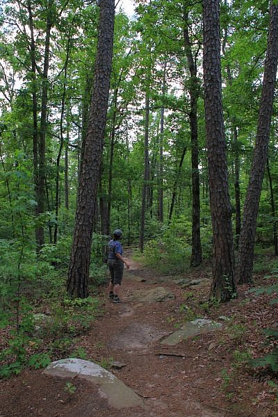
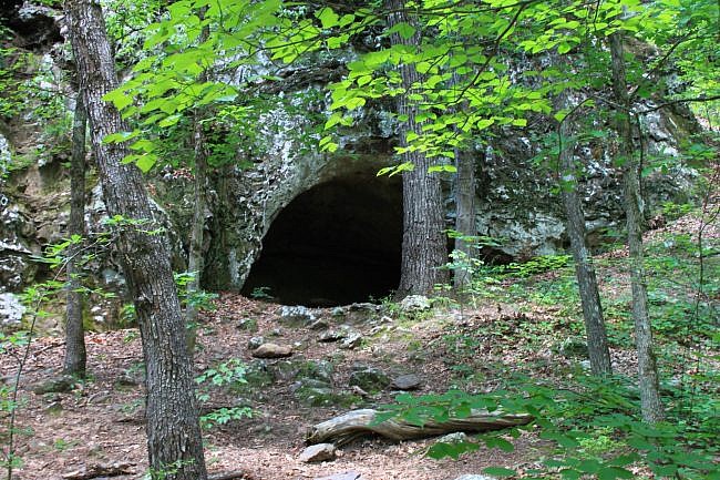
From here to Mile Marker 1, there are several small cave-like areas on the opposite side of the stream.
During this stretch, the trail crosses back and forth across the creek several times, but the crossings are pretty easy to do without getting wet.
This part of the trail, along with several other areas, goes through a bit of a pine forest, so the smell of pine is in the air.
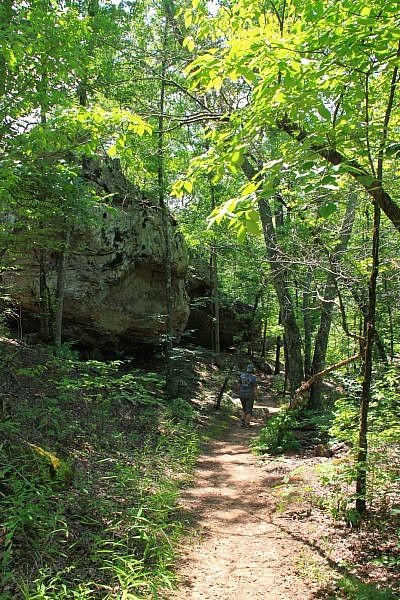
A little way after Mile Marker 1, the trail goes uphill a bit–a little further from the creek.
At about 1.3, the trail passes by a natural bridge (a large arch). It is on the left, slightly off the trail. (Watch for it.)
The natural bridge is a spectacular sight. This seemed to be the place of choice for people to stop and take a break. This is one of many highlights on the trail.
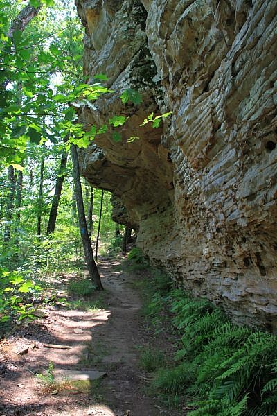
At about 1.5, the trail heads back downhill again, crosses the creek for the last time, and runs along the bluff on the opposite side of the creek that you have no doubt been admiring for the past mile. The bluff is smaller here though.
Then at 1.7, the bluff ends, and the trail turns sharply right and heads back up the bluff you were just walking beside. The trail is now leaving the first hollow.
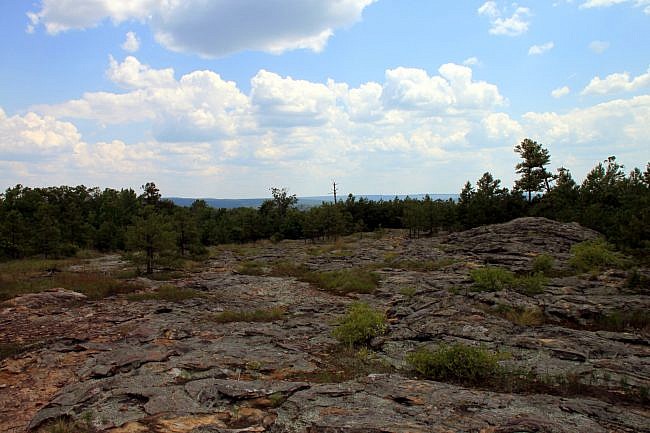
The trail here heads uphill through a glade area. The glade has a completely different type of plant life and wildflowers. It also has spectacular rock formations and views of the hollow you just left.
There are several of these glade areas on the hike where instead of walking on dirt, the trail goes across the tops of rocks. These really are neat areas.
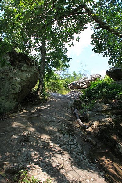
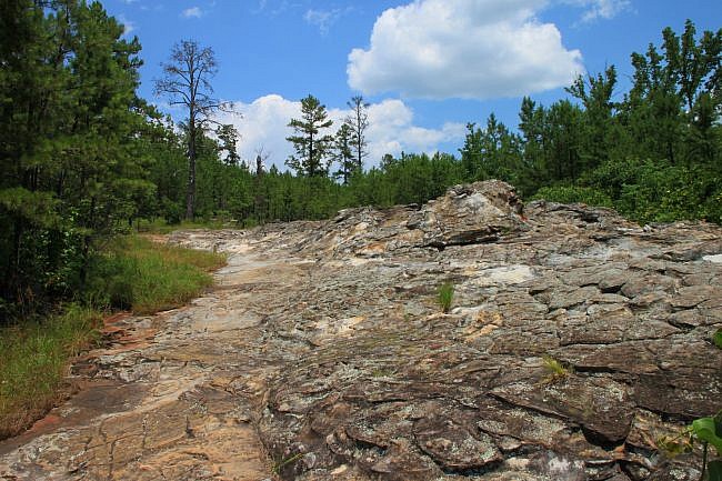
If you look closely, you may notice collared lizards in the area. They are cute and fast.
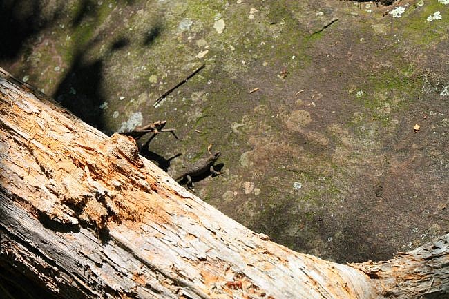
There are also great views from atop the bluff.
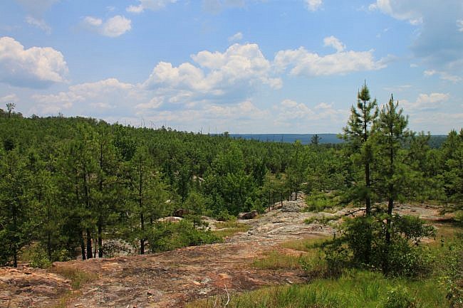
At about 2 miles, the trail bends to the left, down the hill, back up the hill, and then down the hill again.
At 2.1, the trail passes a small stream with a short steep incline ahead. At this point, the spur to the grotto is on the right. (There is a sign.) Take the spur to the grotto.
The spur trail heads along the base of the bluff line. There are a couple of boulders you have to scramble across.
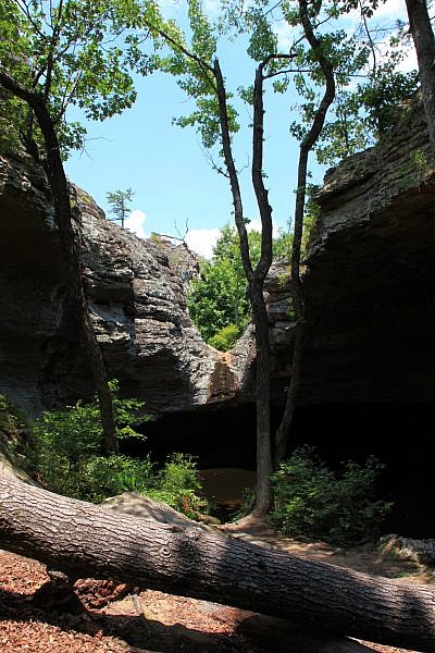
At about .1 miles, you enter the grotto area. It features a huge bluff overhang on the right, a bluff line on the left, and a seasonal waterfall that flows into a pool of water. (Check out this post with video Mike took of the waterfall during the wet season.)
On my early July hike, there was no water flowing, just a stagnant pool of water, but it was easy to imagine how beautiful this would be in high water. Even without the waterfall, it was peaceful and a cool respite on the hike.
Take a right when you get back to the main trail. The trail then heads up a steep rock and turns to the right and back up another glade on the top of the bluff line that was to your left as you hiked back to the grotto.
This is another great glade area with cacti and more wildflowers.
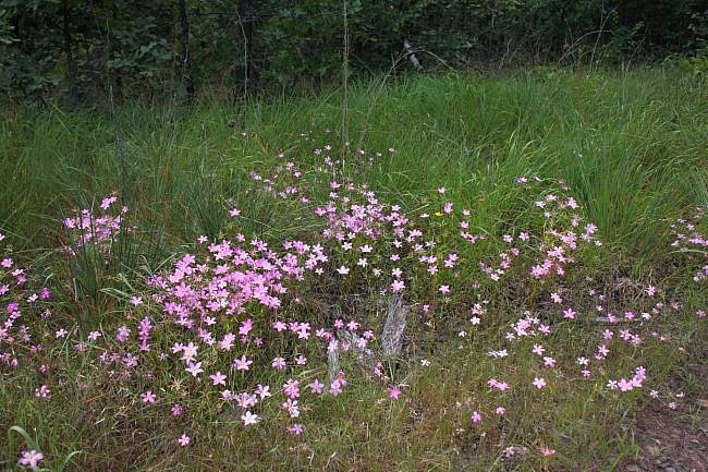
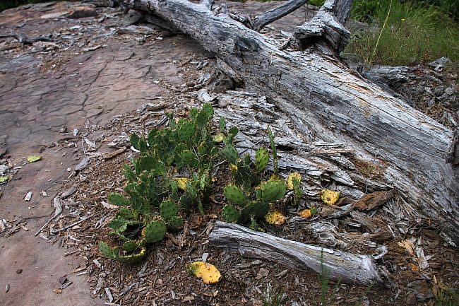
The trail bends then to the left and back into the woods, and then turns to the right and back down the hill into another hollow and then up another glade area. It crosses another stream, climbs back up another glade, and then back down into another hollow.
At about 2.9, the trail runs over a 50-foot long rock slab, goes up the hill, and then back down into the next hollow.
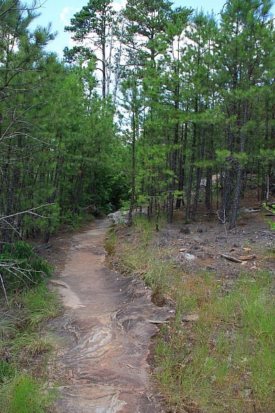
At Mile Marker 3, the trail is back down in another hollow.
The next mile of trail is probably my favorite. The trail is pretty level for a while following the stream, and then it runs through a hollow with huge bluffs (the tallest so far) on both sides.
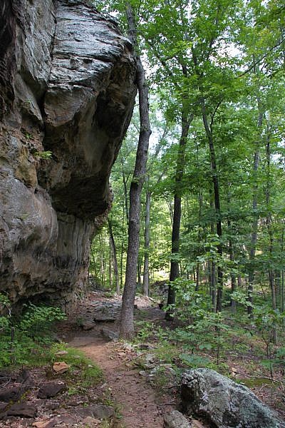
As with the first hollow, there are a lot of interesting rock formations and small cave areas along this route.
The trail then crosses the creek a couple of times and then continues along a bluff overhang.
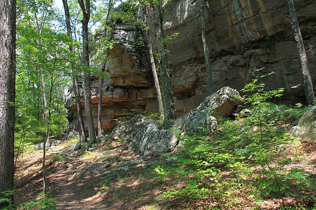
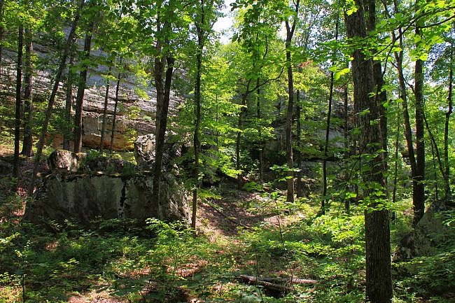
At 3.8, another trail comes in from the left through a hollow and joins the trail. This is the Boy Scout Trail that runs through the entire park. It is blazed white, so stay straight on the blue-blazed trail.
Shortly after passing the Boy Scout Trail junction, the trail continues uphill again, past another interesting rock formation and more spectacular views.
At Mile Marker 4, you are still headed a bit uphill through a wooded area. At about 4.2, the trail is back to the initial spur. Stay straight.
The parking lot is about .1 miles ahead.
Final Notes
This is a well-traveled trail, and it is not difficult to follow.
We did the hike in early July and loved it, but I suspect that the trail is even prettier in the spring when the water is flowing, and during leaf-off when there would be more expansive views of the bluffs.
I rate the difficulty as strenuous (4 of 5).
For footwear, I recommend hiking boots, although I wore trail shoes. The trail is pretty rocky, and there are a lot of ups and downs. You will be thankful for the extra support
Tim Ernst profiles this trail in Arkansas Hiking Trails. There is also an official trail brochure here.
These photos are all from my July 1, 2013 hike.
[While at Petit Jean State Park, you might want to also check out Cedar Falls Trail, Cedar Creek Trail, and Bear Cave Trail.]
Photo Gallery
Click below for full-screen photo gallery.
Map
Petit Jean: Seven Hollows Trail |
|
|---|---|
| Location | Petit Jean State Park (near Morrilton), Conway County, Arkansas |
| Hike Length/Type | 4.1-mile loop. (4.7 miles including Grotto spur.) Blue blazes. |
| Difficulty | Strenuous (4 of 5) |
| Other Permitted Usage | Pets on a leash. |
| Gpx file by Mike | Link |
| Date Hiked | July 1, 2013 |
| Directions | CLICK - Google Maps Directions to Seven Hollows Trailhead |
| Official Info | (501) 727-5441 Website Official Seven Hollows Trail Brochure (pdf) |
[A version of this post was originally published on January 2, 2014 in the blog “Exploring Northwest Arkansas.”]
[Last revised: 9-21-2019]


3 replies on “Petit Jean: Seven Hollows Trail – 4 mi”
Mike, great site, I think I’ve been here some time back. I esp. like your seven trails bluff photo. Good work. Saving as a favorite!
Thanks for the comment, John. The credit for this post goes to Brent Toellner (he did a great job on this one), but I’m glad you like the site!
Thanks for the great description of this trail. I borrowed parts of this our upcoming hike with Memphis Outdoor Adventures.