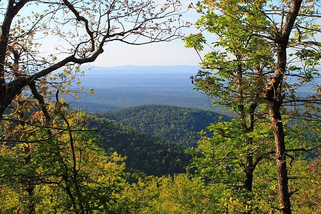
This stretch of Section 3 of the Ouachita Trail (Ouachita National Forest) goes from Mile Marker 63 to the Foran Gap Trailhead (68.1) on Highway 71, just north of Mena (Polk County).
The section of the Ouachita Trail between Eagle Gap (around Mile Marker 58) and Foran Gap is about 10 miles long and has no access points in between. This hike covers about the eastern half of that stretch. (See here for the profile of the part from Eagle Gap to Mile Point 58.)
To do it as an out-and-back, you’ll be heading west to Mile 58 and then back, about 10 miles.
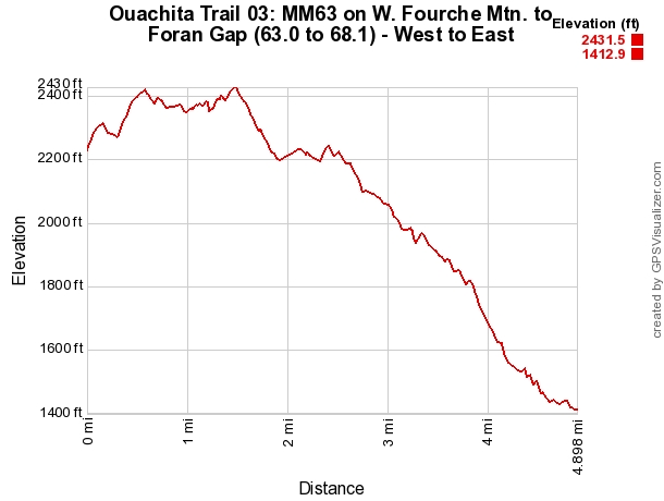
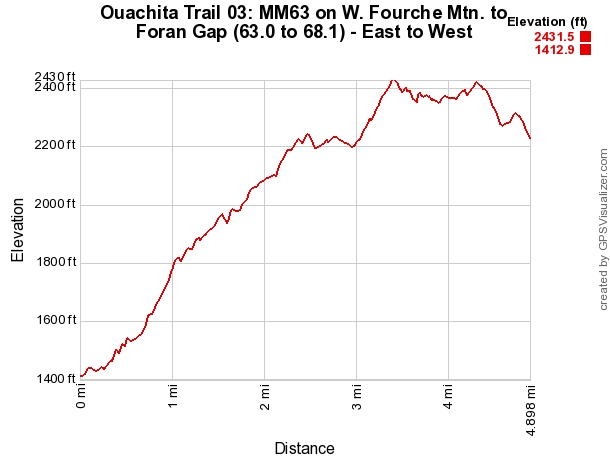
The elevation change is about 1,000 feet (from 1,413 elevation to 2,432), but the total elevation gain is about 2,000 feet when you do it as an out and back.
Although there are likely to be some rough patches, there are a lot of scenic areas on this hike including a small seasonal waterfall and some pretty views from western Fourche Mountain.
Getting to Foran Gap Trailhead
The Foran Gap Trailhead is on Highway 71 in Polk County. It’s about 10 miles south of Y City (about 25 miles south of Waldron) and about 11 miles north of Mena.
The trailhead parking is on the west side of the highway.
The Hike
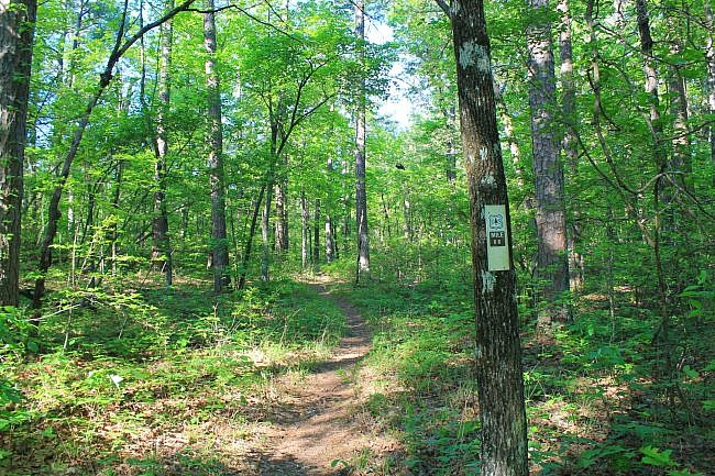
The Ouachita Trail is a west-to-east trail that runs through LeFlore County, Oklahoma and the western half of Arkansas. On this stretch, the first two miles (about MM 68 to MM 66) makes a few large winding curves along the hillside but then stays in a mostly direct west-east direction.
Start the trail by the parking area. Mile Marker 68 is about .1 miles in.
The first .3 miles or so is fairly level, but there is quite a bit of climbing over the rest of this segment. It is pretty much uphill climbing for the next 2 miles.
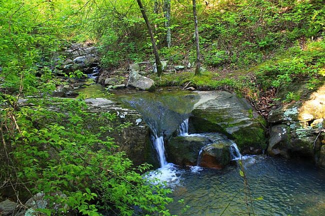
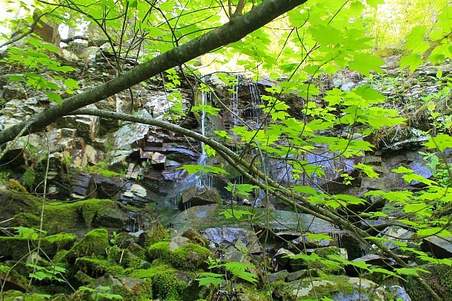
At about a half-mile (mile point 67.5), the trail crosses a stream with a very pretty cascade during the wet season.
The elevation is about 1,400 feet at the trailhead. It eventually gets up as high as 2,431 feet in this segment.
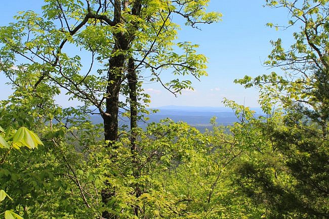
Once you get in about 1.5 miles on this segment (around 66.5), you start to have some nice views, mostly to the north. Even during leaf-on, there are quite a few pretty views through the trees and a few wide open views. Of course, during leaf-off there would be many more open vista views.
At around 3 miles in (around MM 65), there were some places where I also had nice views to the south.
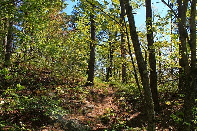
One of my favorite spots on this stretch is the waterfall at about 1 mile in, around MM 67. It is about 8 feet high and is really cool when the water is flowing.
After the first half-mile, there are two others parts where the elevation is relatively level. (It is not flat in these parts; it is just not the same continuous climb.) One is between 2.5 and 3 miles (65.5 and 65). The other is in the highest elevation stretch between 3.5 and 4.5 miles (64.5 and 63.5).
That highest elevation part is around 2,400 feet high. This is one of those cool high areas where the trees are shorter and it is often breezy.
For the last half-mile of this stretch, the trail starts heading back downhill.
When I was last there (spring 2016), there was just a handwritten note on a tree for Mile Marker 63. So if you are doing this as an out-and-back, that is your turnaround point.
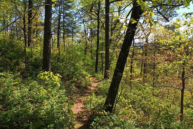
I think rocky trails are cool. They are pretty and visually interesting. As you would expect, generally the trail and terrain are rockier as you get into the higher elevation areas.
One of the highlights of the trail is a rock glacier (boulder field) at about 4 miles in (MM 64). This is not only a pretty and interesting area to cross; it has a nice open north facing vista.
There also is an unofficial campsite area around MM 64.
Final Notes
The trail was in pretty good condition overall. There were a few places where there was some overgrowth, particularly in the higher areas, but it was not too difficult to get through.
I had AT&T cell signal about 70% of the time on this hike, primarily in the higher elevation areas.
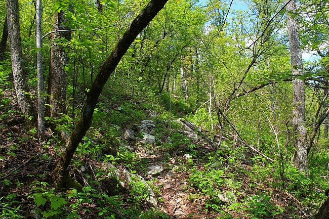
These photos are all from my hike on April 23, 2016.
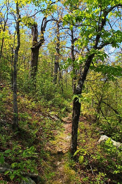
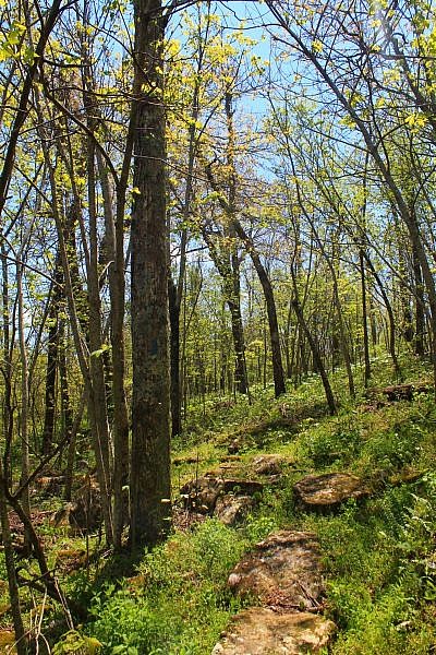
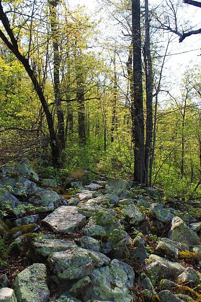
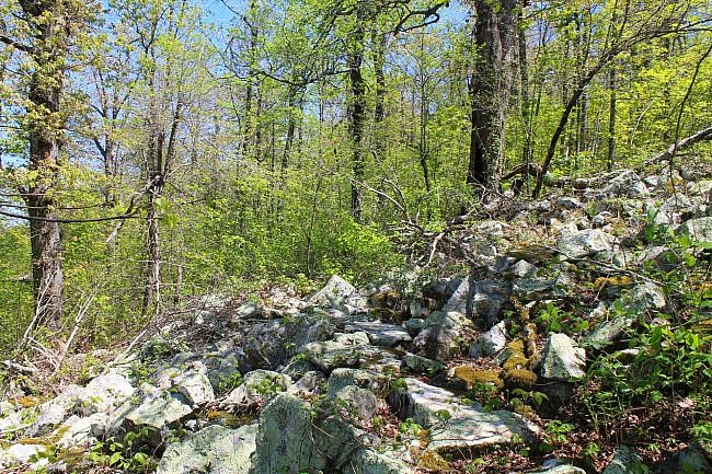
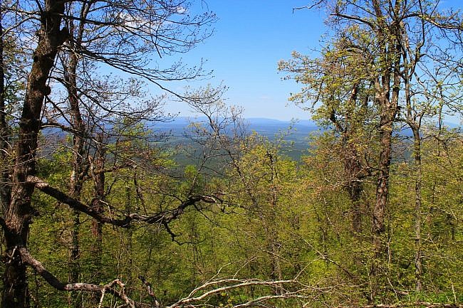
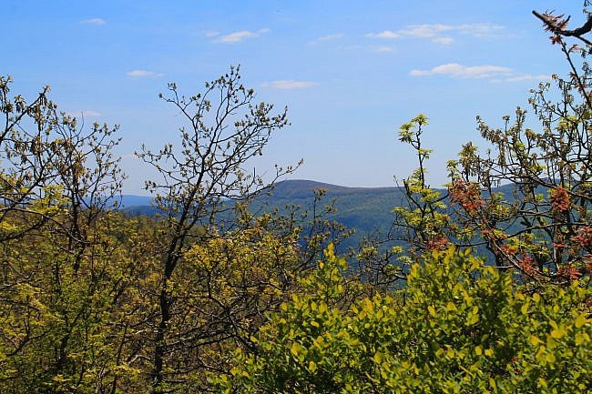
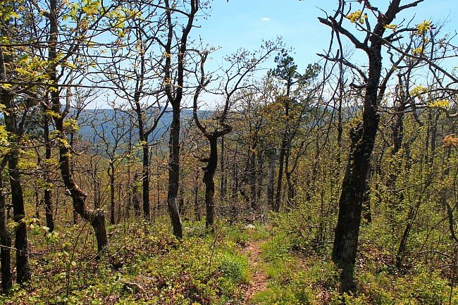
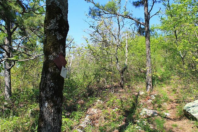
Photo Gallery
Click below for full-screen photo gallery.
Map
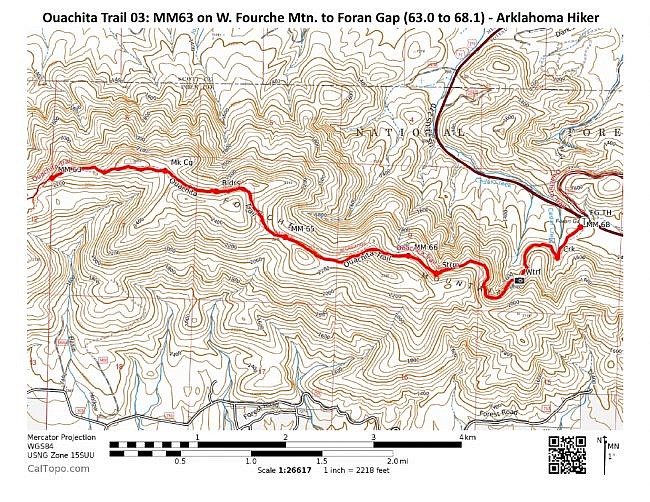
Ouachita Trail 03: MM63 on W. Fourche Mtn. to Foran Gap (63.0 to 68.1) | |
|---|---|
| Location | Polk County, Arkansas |
| Hike Length/Type | 4.9 miles each way. (9.8 miles out and back.) Blue blazes. |
| Difficulty | Very Strenuous (5 of 5) |
| Other Permitted Usage | Mountain bikes. |
| Gpx file by Mike | Link |
| Date Hiked | April 23, 2016 and earlier |
| Directions | Google Maps Directions to Foran Gap Trailhead |
| Official Info | (479) 394-2382 (Mena/Oden Ranger Dist.) USFS Website FoOT Website |
Last revised: 8-15-2021.


