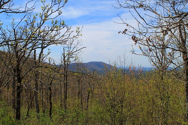
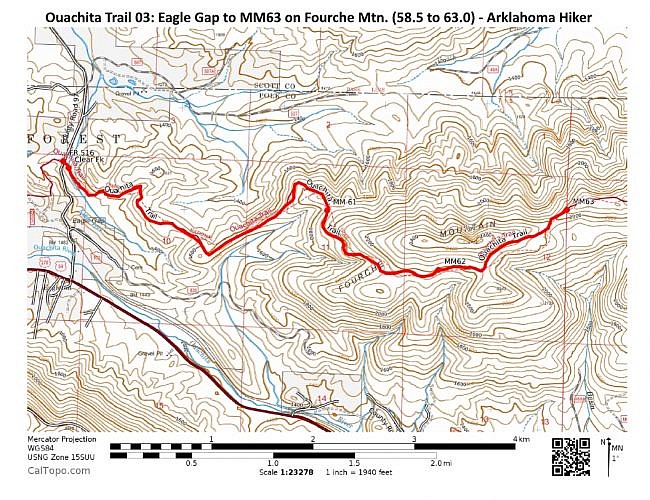
This part of Section 3 (as Tim Ernst designates) of the Ouachita Trail (OT) is from 58.5 to 63.0 in Polk County, Arkansas, near Mena. It starts about 7 miles east of Queen Wilhelmina State Park at the Eagle Gap juncture and heads up the western part of Fourche Mountain.
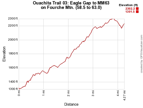
It’s a pretty vigorous hike. The elevation change is 1,000 feet. Heading west to east, there is about 1,270 feet of elevation gain.
It is a scenic hike with some vista views and a very pretty area near Clear Fork.
This subsection is about 4.3 miles long by my gps calculation. That makes it 8.6 miles if you do it as an out-and-back, as I did.
Fourche Mountain is split into two parts by the Foran Gap at Highway 71. (I don’t know why it’s not two mountains.) This is the western part of Fourche Mountain.
Mile Marker 63 is near the trail’s high point for western Fourche Mountain.
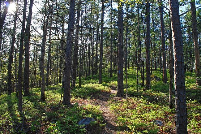
Getting to the Eagle Gap Ouachita Trail Junction
Spotting the OT connection at Eagle Gap is not easy.
To get there, head down Highway 270/59 to Eagleton, a community west of Mena. Then get on Forest Road 516 (County Road 97) heading north.
After about 1,000 feet, you cross a railroad track. The intersection with the OT is about 2,000 feet further down the road (about a half-mile from the highway).
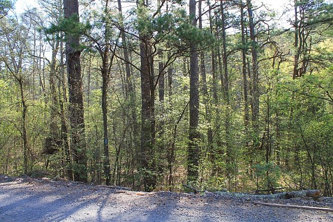
It is not easy to see the intersection from a car. It looks like there once was a sign there, but it was not there when I last visited. I did not see any blazes right on the road.
But if you go slow and look carefully about a half-mile from the highway, you should be able to find it. Watch for the blue blazes.
I parked by the side of the road, about 100 feet from the trail juncture.
The Hike
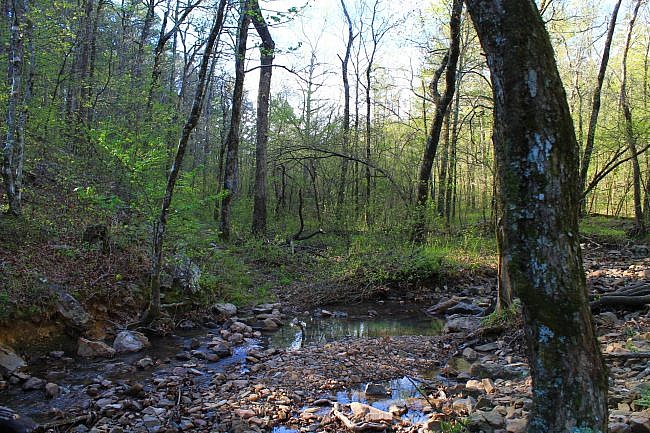
The first part of the hike heads downhill toward Clear Fork, about 300 feet from the road. I had no trouble making a dry crossing of the creek on my April 2016 hike. If you are long-distance hiking, be aware that Tim Ernst says this is the only reliable water supply for a long while on the trail.
For about a quarter-mile after that, the trail runs parallel to Clear Fork. It gradually rises above the creek level and pulls away.
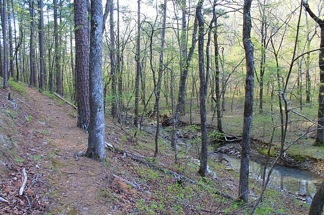
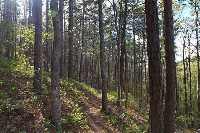
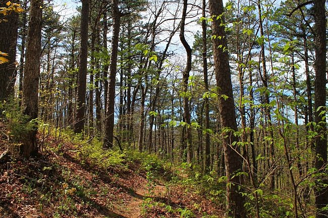
For the most part, the rest of this part of the Ouachita Trail is an uphill climb on western Fourche Mountain. It generally heads eastward. There are just a few areas where the trail follows along a road trace.
Quite a bit of this part follows ridges, particularly the area between Mile 61 and 62.
Western Fourche Mountain runs parallel to Rich Mountain. In a number of places, there are nice views of Rich Mountain to the south through the trees.
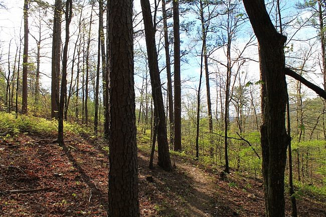
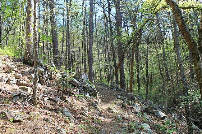
The highest elevation on this stretch is about 2,300 feet at 62.5 miles. The trail goes a little higher up just to the east of this though. Around Mile 64, the trail gets up to around 2,400 feet.
As usual, the trees tend to be shorter and it’s often more breezy in the higher elevations.
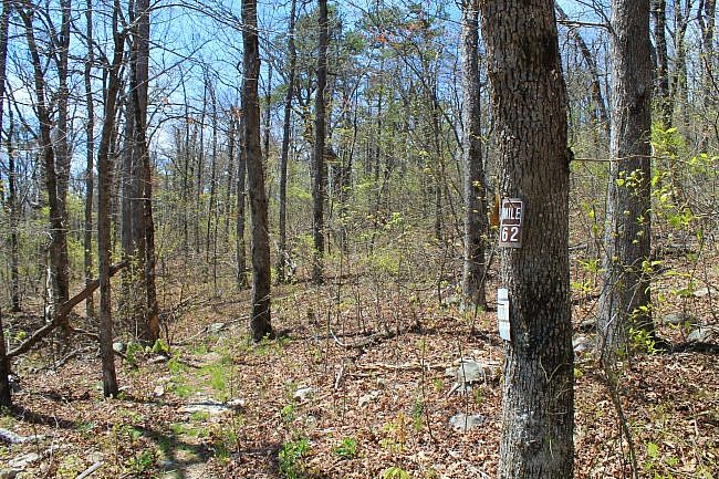
By the way, there may not have been a sign on the trees designating each mile when I was there. At Mile 65, there was just a handwritten sign someone had attached with a nail. (But it did the job.)
Final Notes
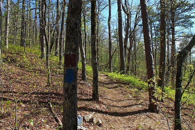
The Ouachita Trail is marked with blue blazes. Most of this stretch was in pretty good condition and not hard to follow on my April 2016 hike. There were a few areas with some thick overgrowth but not very much.
The higher elevation parts of this trail don’t get as much traffic and unfortunately are more difficult for volunteers to get into to do maintenance.
I only had AT&T cell signal about 30% of the time, primarily in the high elevation areas.
For hiking the Ouachita Trail, I recommend Tim Ernst’s Ouachita Trail Guide.
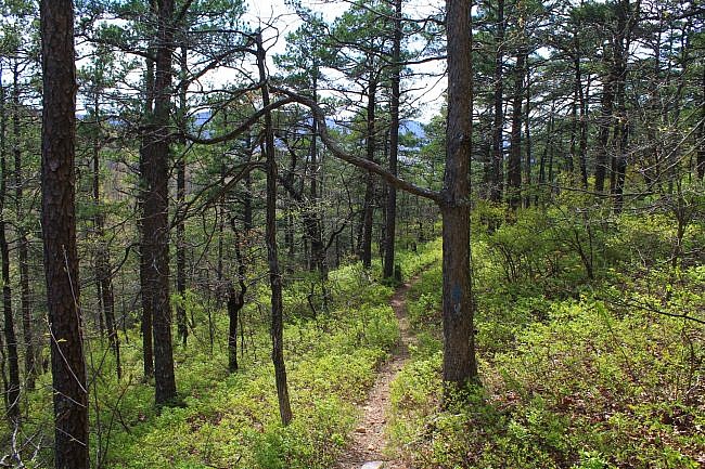
These photos are all from my hike on April 8, 2016. In the lower elevations, it was leaf-on. The higher up I got, the more the leaves were still in a state of partially being out.
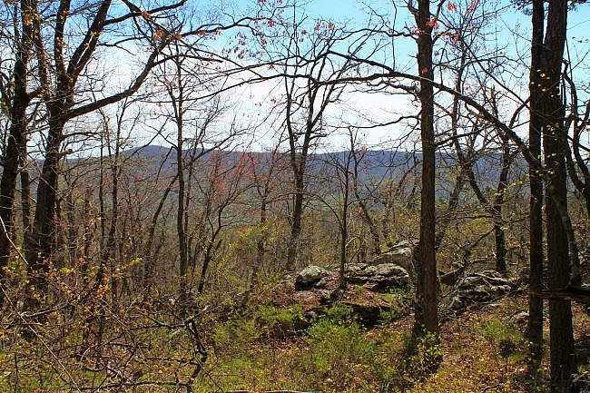
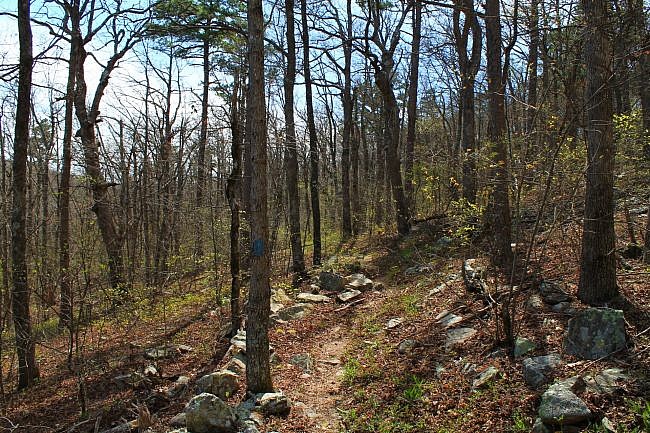
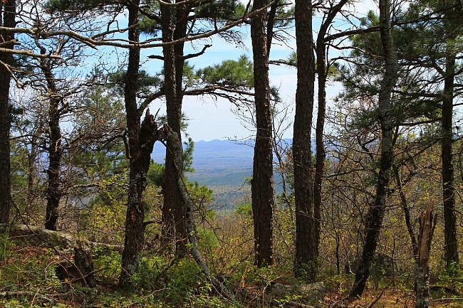
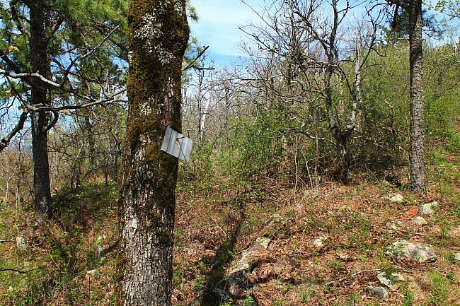
Photo Gallery
Click below for full-screen photo gallery.
Map
Ouachita Trail 03: Eagle Gap to MM63 (W. Fourche Mtn.) (58.5 to 63.0) | |
|---|---|
| Location | Polk County, Arkansas |
| Hike Length/Type | 4.3 miles each way/8.68 miles out and back. Blue blazes. |
| Difficulty | Very Strenuous (5 of 5) |
| Other Permitted Usage | Mountain bikes. |
| Gpx file by Mike | Link |
| Date Hiked | April 8, 2016 and earlier |
| Directions | Google Maps Directions to Eagle Gap Ouachita Trail Junction |
| Official Info | (479) 394-2382 (Mena/Oden Ranger Dist.) USFS Website FoOT Website |
[Last revised: 9-19-2021.]


