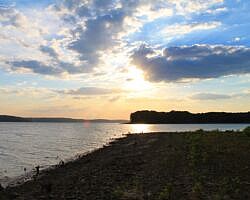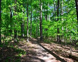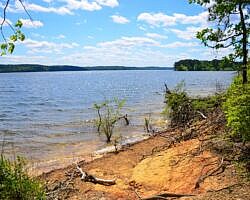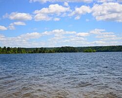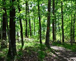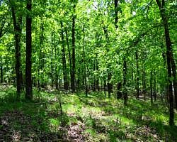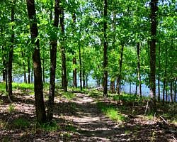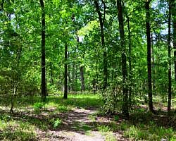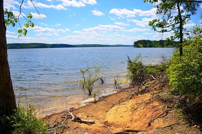
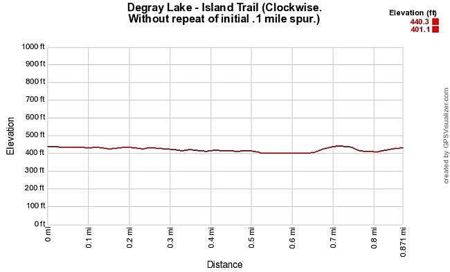
The Island Trail at DeGray Lake Resort State Park (near Caddo Valley and Arkadelphia) is a great 1-mile hiking trail. It is an easy and scenic walk with some great views of the lake and little elevation change.
Getting to the DeGray Lake Resort State Park Lodge
The Island Trail starts next to the lodge. To get there from Interstate 30, head toward Caddo Valley and take Exit 78. Then go north on Highway 7 for about 8 miles. The park will be on your left.
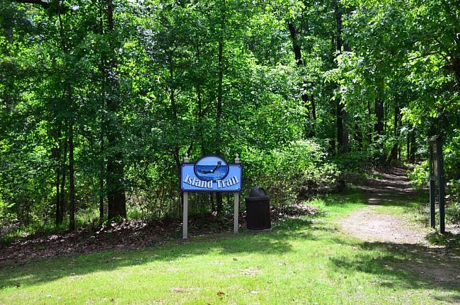
Once in the park, follow the signs to the lodge. The Island Trailhead is near the west end of the lodge. There is a sign.
The Trail
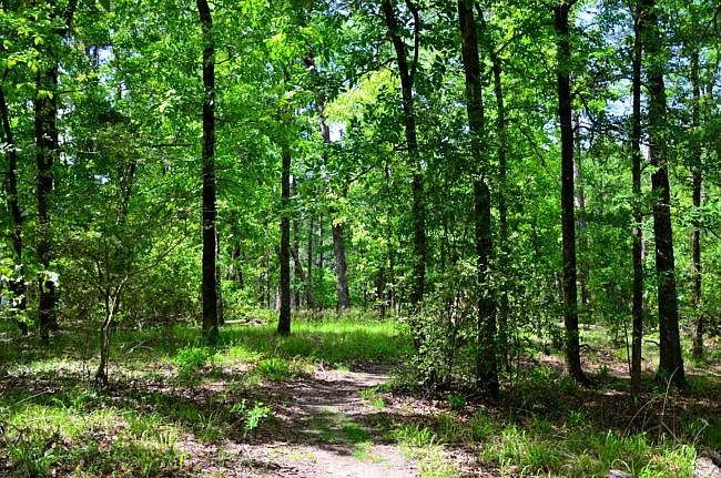
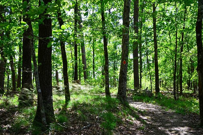
The trail starts just to the right of the lodge. It is a well-marked forested trail with orange blazes.
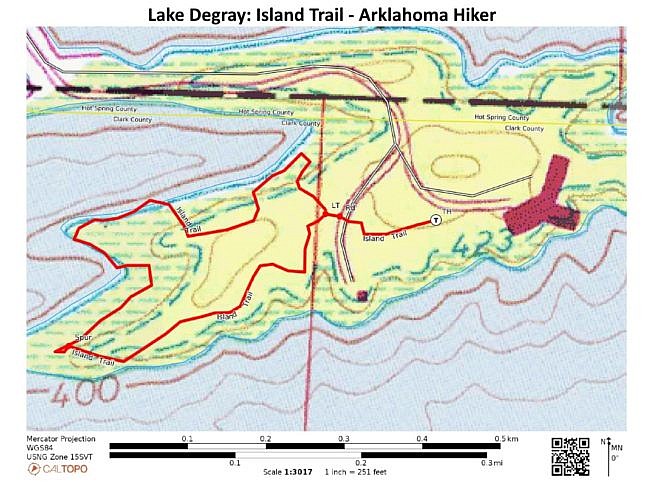
After about 0.1 miles, you will cross a service road. Once you reenter the woods, the trail immediately splits. This is the loop part of the lollipop, so it doesn’t matter which way you go. I chose to go to the right (counterclockwise).
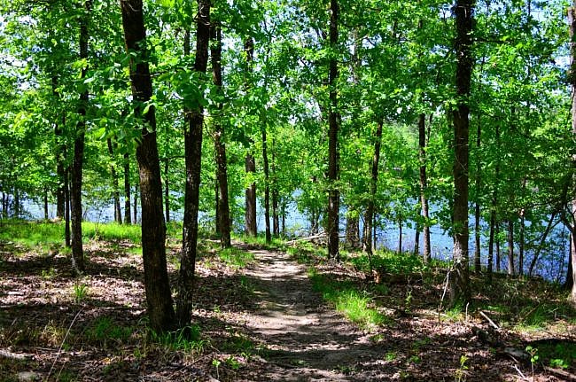
Around mile 0.2, the trail turns and follows along the lakeshore, along the edge of the island. It gives you nice glimpses of the lake while hiking under a thick canopy of trees.
At mile 0.5, there is a spur trail to the right that takes you down to a nice rocky beach and wide-open lake. This is a great place to picnic or take a long break. In the summertime, it will be a nice place to cool off in the lake.
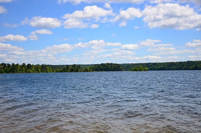
Follow the spur trail back to the Island Trail and go right to finish out the loop. From here, the trail follows the lakeshore pretty closely, and there are few other spots you can stop and enjoy the lake.
At mile 0.9 you finish the loop and rejoin the “stick” of the lollipop. From there go right, cross the road again and finish out the trail.
Final Notes
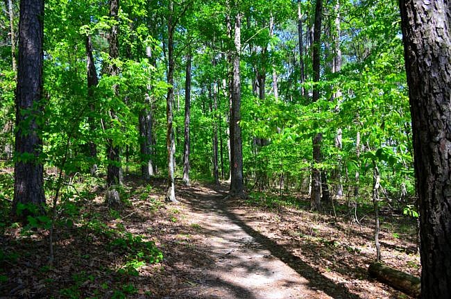
These photos are from my April 25, 2020 hike except for the last one which Mike Newman took on September 26, 2015. Mike reports that he had good AT&T cell signal on his hikes there in 2015 and 2018.
DeGray Lake Resort State Park is in Clark and Hot Spring Counties.
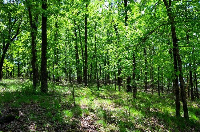
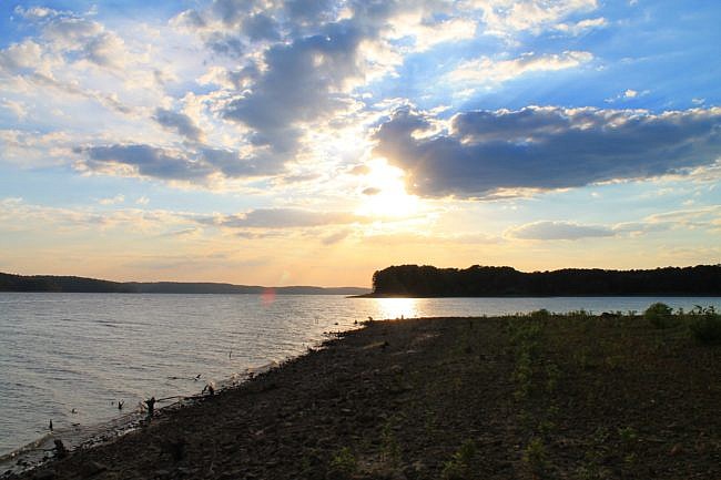
Photo Gallery
Click below for full-screen photo gallery.
Map
Degray Lake: Island Trail |
|
|---|---|
| Location | Degray Lake Resort State Park, Clark County, Arkansas (The park is in Clark and Hot Spring Counties.) |
| Hike Length/Type | 1 mile loop. There is an initial spur of .1 miles. |
| Difficulty | Easy (1 of 5). |
| Other Permitted Usage | Pets on a leash. |
| Gpx file by Mike | Link |
| Date Hiked | April 26, 2020 |
| Directions | Google Maps Directions to Degray Lake Resort State Park Lodge |
| Official Info | (501) 865-5810 Website Official Degray Lake Resort State Park Brochure (pdf) |
[A version of this post was originally published on April 30, 2020 in the blog “Right Kind of Lost.”]
Last revised: 2-9-2022.

