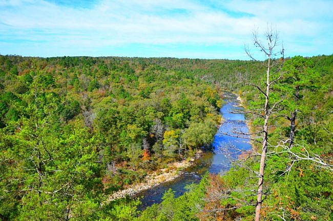
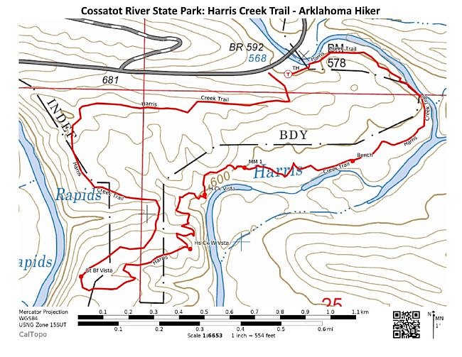
The Harris Creek Trail at Cossatot River State Park-Natural Area (Howard and Polk Counties) is a great intermediate level 3.2-mile loop trail with some very nice views.
There are some steep parts, but they do not last long. The trail is also dotted with benches so you can rest after a steep climb.
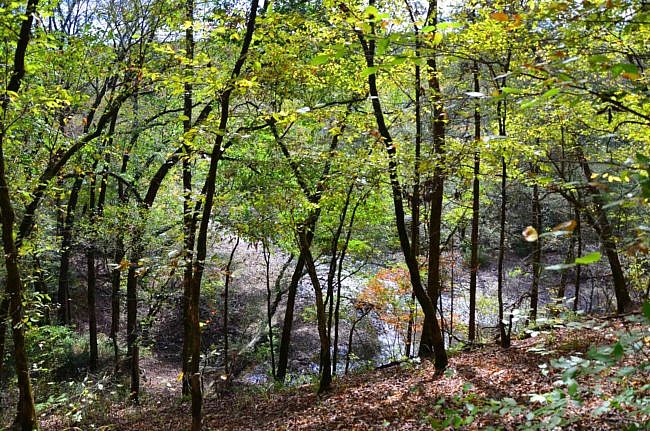
One thing I really enjoy about the trail is that it takes you through several diverse terrains and ecosystems. It also provides you with some amazing overlooks of Harris Creek and the Cossatot River.
Getting to Harris Creek Trailhead
Cossatot River State Park-Natural Area is on Highway 278 about 10 miles east of Wickes or about 8 miles west of Umpire.
The Harris Creek Trailhead is about a mile east of the visitor center on Highway 278 near the Baker Creek Bridge. Watch for the signs.
There is parking at the trailhead. The trail is marked with blue blazes.
Shale Pit and Glade
The Harris Creek Trail makes a loop. When you are at the trailhead you are going to want to begin the loop at the informational boards and go past them. The trail begins in an old shale pit. Shale is a dark, flat, smooth rock. The ground is covered in mosses, and the color contrast between the light green mosses and black ground is really beautiful.
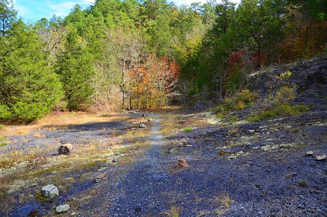
You are not in the shale pit for very long, just a couple hundred feet, before you enter the glade. I love glades. Living in an area where we usually have thick forest, I think the openness of the glades is pretty.
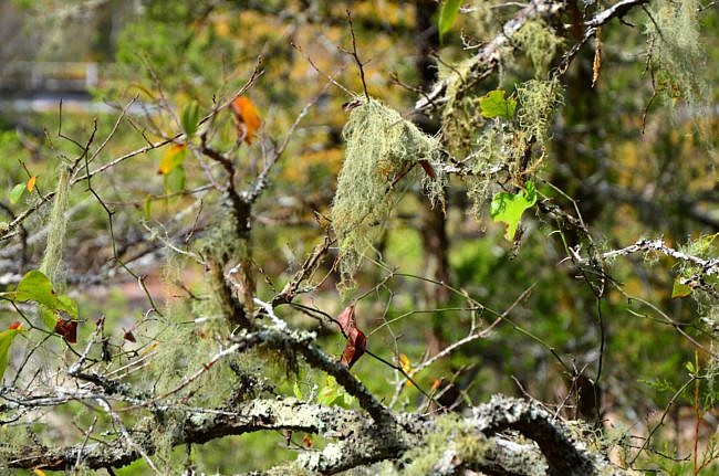
As the trail begins to climb, you get views of Baker Creek. Once you get to the top of the hill, the trail takes you through an open stand of hardwoods. You still have glimpses of Baker Creek to your left.
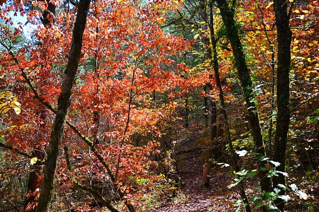
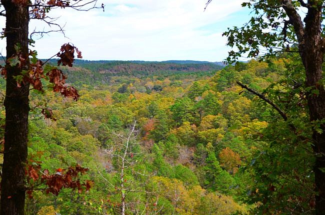
This part of the trial parallels a slope, and in some places the footing got slippery for me because of the loose dirt on the path. However, I was there in late October and the leaves were gorgeous. At times I was submerged in red.
Harris Creek Terrace
Baker Creek runs into Harris Creek, and the trail makes a turn to the southwest. Here the trail is fairly level and takes you through nice open woods.
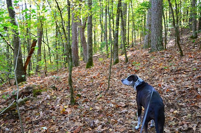
However, I’m not sure if it was because of the freshly fallen leaves or if the trail is not used much, but I had a hard time seeing the path. Fortunately, the park service has well marked the trail with blue blazes. At this point you need to watch the trees as much as your footing.
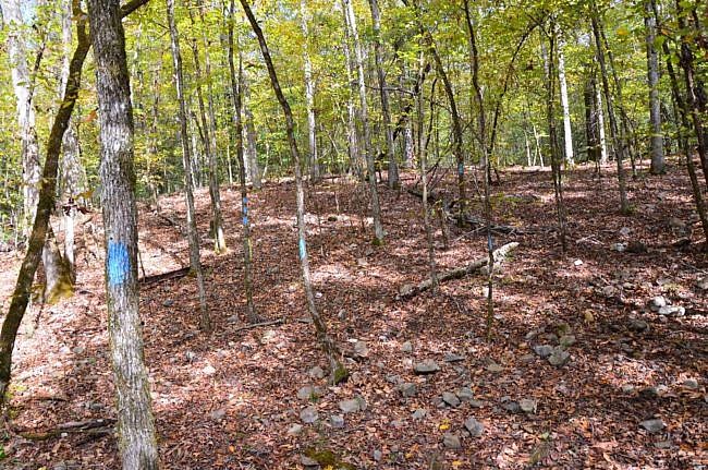
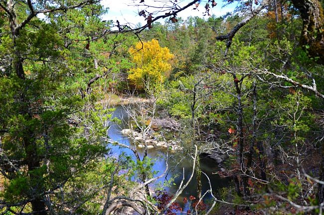
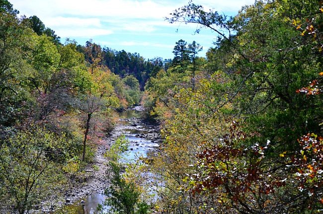
During this section of the hike, you are given views through the trees of Harris Creek. There are also a few overlooks with benches any of which could be a great place for a picnic.
Drainage Area
Don’t get used to that nice level trail because once you enter the drainage area, there is a lot of climbing up and down. As the trail takes you up and down the draws (V-shaped areas on the terrain were water drains down to the creek), you get a workout. But the park has benches so you can rest and catch your breath.
River Overlook Back to the Trailhead
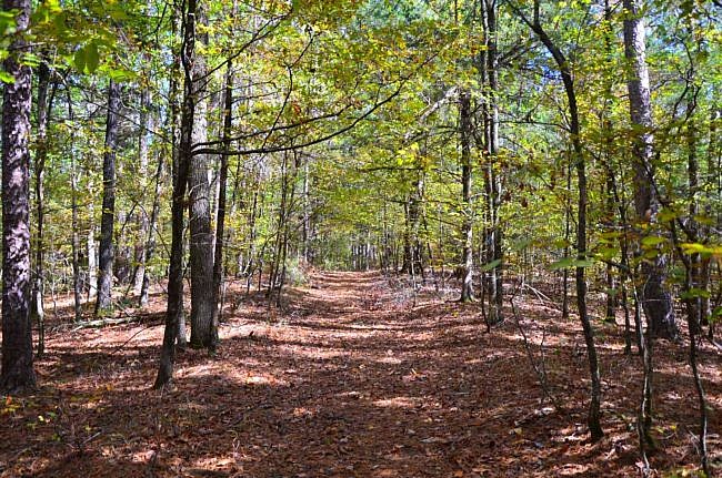
After you tackle the drainage area, the trail turns to the west and heads toward the Cassotot River. Here you pick up with an old road and the trail is fairly level and easy to walk on.
When you get to the Cassotot River overlook on the Goats Bluff, you have spectacular views of the river. There is a bench where you can sit and enjoy the view. If you are brave you can walk a little further for a more open view. Be careful, this is a bluff and is high up and straight down.
Caution: Be very careful around bluffs. A fall could be fatal or result in serious injury.
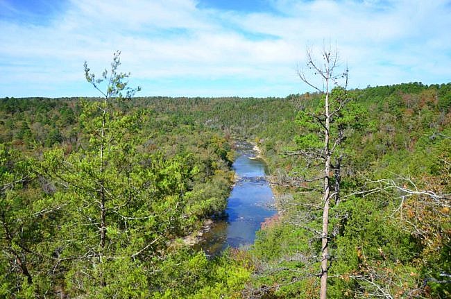
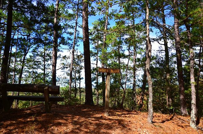
Following the bluff, the Harris Creek Trail continues back to the trailhead along the old road.
There is a trail intersection that is not noted on the map and brochure. At that intersection, you have the option to hike to the visitor center. It is well marked, so you know which way goes to the visitor center and which way goes back to the trailhead. There is also another bench.
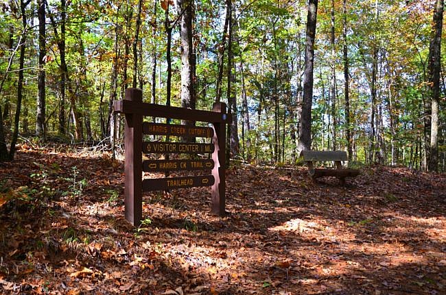
You continue along the old road through nice open woods all the way back to the trailhead. The trail is fairly level or, at times, downhill. I hiked this park pretty quickly.
Final Notes
I love trails like the Harris Creek Trail. Trails that are fairly short and fairly easy and make a great afternoon hike. It took me right at an hour and a half to hike it. I also highly suggest hiking this trail in the fall to see the leaves.
The park offers two shorter interpretive trails, the Waterleaf Interpretive Trail and Brush Creek Interpretive Trail. It also offers the River Trail, a longer trail of about 14 miles. The River Trail passes through both campgrounds in the park and can be backpacked for a two-day hike. However, the park asks you camp in the designated areas.
The Cossatot River, located in southwest Arkansas between Mena and DeQueen, boasts Class III, IV, and V rapids for skilled kayakers and canoeists. I am not that skilled, but the scenery and trails are marvelous.
These photos are all from my October 23, 2017 hike.
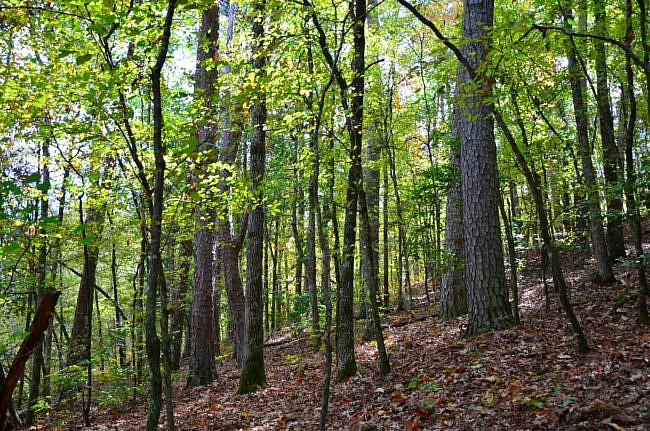
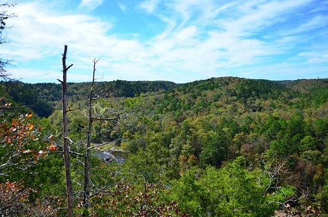
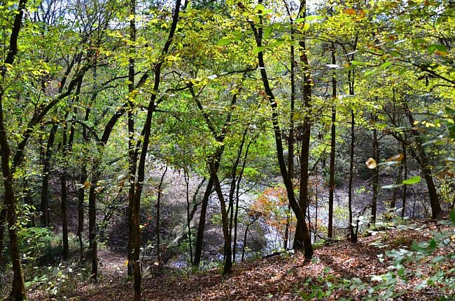
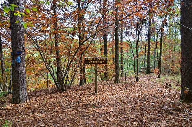


Photo Gallery
Click below for full-screen photo gallery.
Map
PDF LINK.

Cossatot River State Park-Natural Area - Harris Creek Trail | |
|---|---|
| Location | Howard County, Arkansas |
| Length/Type | 3-mile loop. Blue blazes. |
| Difficulty | Moderate (3 of 5) |
| Other permitted usage? | Pets on leash. |
| Gpx file (by Mike) | Link |
| Date Hiked | October 23, 2017 |
| Directions | Google Maps Directions to Harris Creek Trailhead |
| Official Info - Phone/Links | 501-844-4176 Website Official Harris Creek Trail Brochure (pdf) |
[A version of this post was originally published on November 2, 2017 in the blog “Right Kind of Lost.”]

