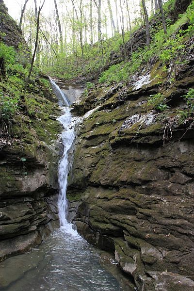
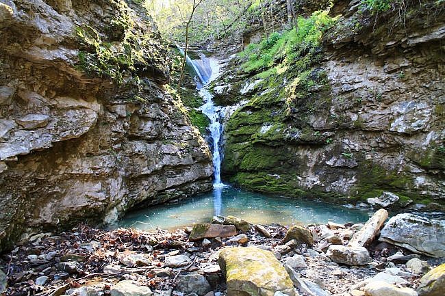
Elise Falls at the Nature Conservancy’s Smith Creek Preserve (Newton County) is one of the highlights of the area for photographers and nature lovers. The preserve is 1,226 acres around Smith Creek, a tributary to the Buffalo River.
The preserve lies above Sherfield Cave (closed to the public) where the largest colony of Indiana bats in Arkansas hibernates each winter.
The trail to Elise Falls is just .8 miles. During wet times, the falls is one of the most scenic spots in the area.
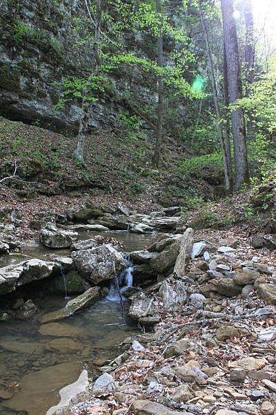
Getting to Smith Creek Preserve Trailhead
The trailhead is just off of Highway 21, south of Ponca and the Boxley Valley. Look for the Smith Creek Preserve sign on the left (east) side of the road.
There is a two-track road there with a red gate about 100 feet back from the road.
The entrance is 3 miles south the Boxley Baptist Church and 3.2 miles north of the Mossville Church.
There is a parking area by the gate. The trail begins on the other side of the gate.
The Trail
The Elise Falls Trail starts at the trailhead at the main gate. There are usually maps in a box at the gate. Start directly down the dirt road past the gate.
As you get to the bottom of the first hill at about .2 miles, the main road veers right while a smaller trail takes off directly to your left. Turn left here. There is usually a sign here pointing to “Elise Falls.”
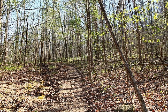
Follow this trail (which also follows an old, less-traveled road) the rest of the way down the hill. The trail is steep at times, but when we hiked it, it was well maintained and easy to follow.
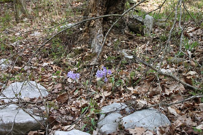
On the spring day we hiked the trail, there were a lot of purple, white, yellow, and red wildflowers along the trail.
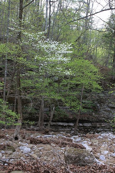
At about .6, the trail runs into Smith Creek. Smith Creek is usually dry here. (I believe it runs mostly underground at this point.)
Walk out into the creek bed and turn left — heading “downstream”. There should be some yellow blazes to your left. Follow those. (If you continue straight across the creek, you will be on a different trail.)
The trail follows the creek bed for a few hundred yards past a small bluff.
Just past the bluff, you will see a small creek come in from your left that spills into Smith Creek. Follow this creek upstream 100 yards to get to the falls.
Elise Falls is 21-feet high and tumbles through a slot in the rocks in the bluff line. It’s a pretty neat little waterfall.
When you are done here, it’s time to turn around and head back out of the creek area. Follow the same track you came in on.
There is about 400 feet of elevation gain on the way back, making the hike out much tougher than the hike in.
Final Notes
It is about 1.6 miles to the waterfall and back. I rate the difficulty as “moderate” (3 of 5).
As for footwear, I recommend trail shoes or hiking boots.
Tim Ernst profiles this waterfall in his Arkansas Waterfalls Guidebook.
The top photos are from my April 21, 2013 hike. The bottom ones were taken by Mike Newman on April 19, 2018.
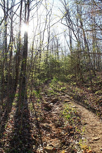
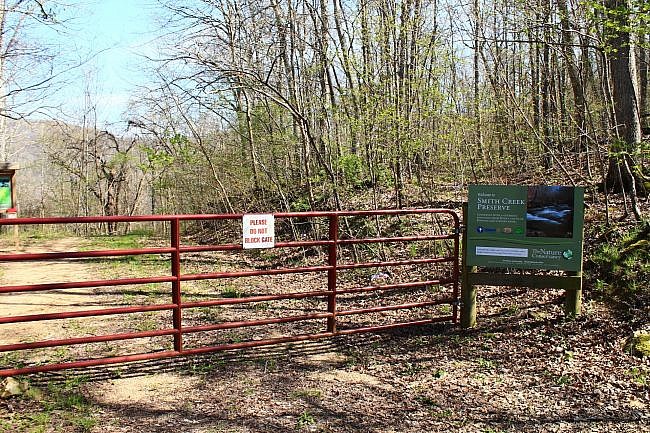
Photo Gallery
Click below for full-screen photo gallery.
Map
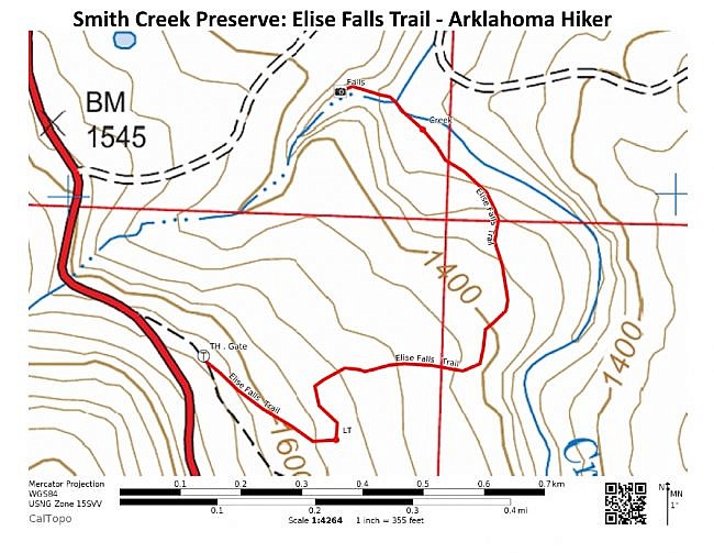
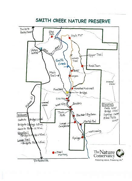
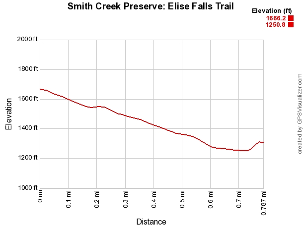
Smith Creek Preserve: Elise Falls Trail |
|
|---|---|
| Location | Smith Creek Preserve, Newton County, near Boxley and Ponca |
| Hike Length/Type | .8 miles each way, from the gate. (1.6. miles out and back). Yellow blazes. |
| Difficulty | Moderate (3 of 5). |
| Other Permitted Usage | None. |
| Gpx file by Mike | Link |
| Date Hiked | April 21, 2013 |
| Directions | Google Maps Directions to Smith Creek Preserve Trailhead |
| Official Info | (479) 973-9110 (Nature Conservancy, Ozark Highlands Office) Website Official Trail Map Flyer (pdf) Official Trail Map |
[A version of this post was originally published on April 30, 2013 in the blog “Exploring Northwest Arkansas.”]
Last revised: 9-18-2019.


