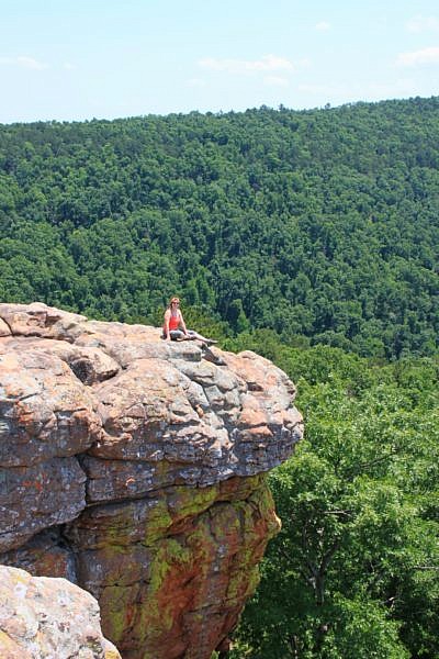
Sams Throne in the Ozark National Forest is one of those places you hear about quite a bit because it is a very popular destination for rock climbers. However, seldom do you hear about it being a great hiking trail, but it indeed is one of the great hiking destinations in the Ozarks.
The trail here offers some great hiking and spectacular scenery. The area has a few really good primitive campsites as well.
Getting to the Sams Throne Trail
To get to Sams Throne from the north, take Highway 7 south out of Jasper. Five miles south of Jasper, go east on Highway 374. Follow it for seven miles, then turn south on Highway 123. Follow Highway 123 through Mt. Judea, and then go five more miles to the entrance to the Sams Throne Recreation Area. Watch for the sign on your right.
If you’re coming from the south, the Sams Throne Recreation Area is about 10 miles north of Lurton on Highway 123.
I want to note that this drive along 374 and 123 is one of the prettiest I’ve taken in the Ozarks, heading down into a beautiful valley, and then back up the other side again. The route up the mountain on Highway 123 south of Mt. Judea is very steep and curvy and not suitable for trailers.
Once you get to the entrance of the Sams Throne Recreation Area, pull in a few hundred yards and park just outside the gate. There is a toilet there.
If you are here to simply see Sams Throne from a distance, you can pull through the gate and go to the end of the gravel road, past several drive-in campsites, to another loop, and park along the loop.
Hiking to Sams Throne
There are three separate trails here that all lead down to the observation area and along the bluff line that we’ll visit at the very end of our hike. If you want a spectacular 2.5 mile-ish hike, then park up by the gate.
From the gate, walk through the gate and down the hill a few hundred yards. There is a trail that juts out into the woods on the right. The trail enters the woods almost immediately across from the first campsite on your left.
The trail heads down pretty steeply at first as you’re going to almost immediately cut through a break in the bluff line to get to the bottom of the bluffs. The trail is steep and pretty rocky.
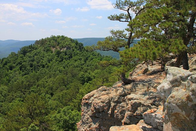
Not far in, the trail splits. The trail really goes to the left, but the spur to the right runs out along a rocky area that overlooks the valley. It’s worth a peek.
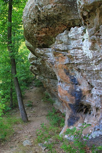
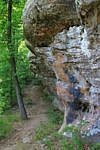
When you head back to the main trail, you’ll continue downward and to the left until you eventually start following the base of the bluff line. The trail follows along the bluff line for about the next half-mile. I’m not sure if this is an “official” trail, but it’s well traveled and relatively easy to follow.
The hike itself is pretty great. There are a host of great rock formations along your left.
On a spring, summer, or fall weekend, you will likely see climbers along some of these rock faces. It is a popular spot for climbers, and for good reason.
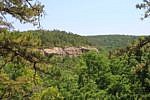
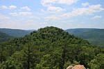
At about three-quarters of a mile, the trail spurs to your right, away from the bluff and into the woods. This is the area that takes you to Sams Throne. When the leaves are on the trees, you will keep expecting to see it, but you barely do until you end up right at the base of it.
When you get to the base of Sam’s Throne, the trail then splits and goes around Sams Throne.
Sams Throne is said to have been named after a man who preached from this rocky bluff. I can’t imagine in this remote location that many were around to hear him.
The trail will circle right at the base of the bluff. There will likely be many climbers here also.
If you go around counterclockwise, at about one-third of the way around the bluff there will be a crack the bluff line where a big rock has broken off a little and has provided a place where you can scramble up to the top of the throne without climbing equipment. This is at about 1 mile from your starting point.
It’s not as tough to climb up as it looks, but if you do, be safe and use your hands to grab some rocks and tree branches to help you up along the last little stretch.
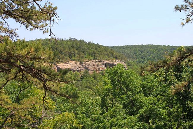
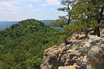
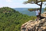
There are a lot of little trails on top of Sams Throne with spectacular views all around.
Once you have had your fill, climb back down the way you came and continue around the rocky plateau.
Eventually, you’ll get to the split in the trail and head back the way you came to the throne.
A little ways back to the rocky bluff line (the one you hike at the bottom of to get here), the trail splits again. This time go to the right. We will follow the bluff line all the way around, and go back up the other side.
This part of the trail follows an old road that likely led to Sams Throne at one time. It’s pretty easy to follow, but other than marveling the history of this little road, this is the only non-interesting part of the hike. But it is easy to follow.
The road then takes a hard right and starts heading up the hill. It then turns hard to the left and continues up.
When the road turns back to your right, you’ll take a hard left and go back out along a hiking trail that is no longer an old road. From here, it is mostly level hiking the rest of the way.
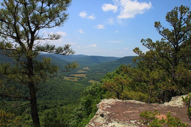
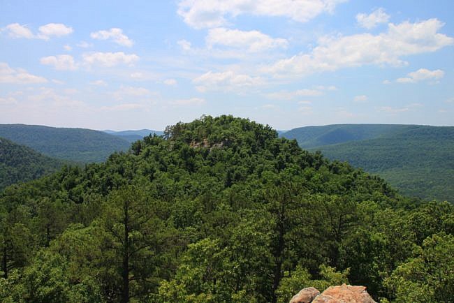
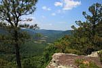
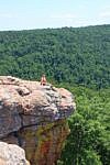
The trail now just heads out along the bluff line that you were just hiking on the bottom of. Keep following this trail along the bluff line. There are quite a few scenic overlooks. All are very nice, but they just keep getting better and better.
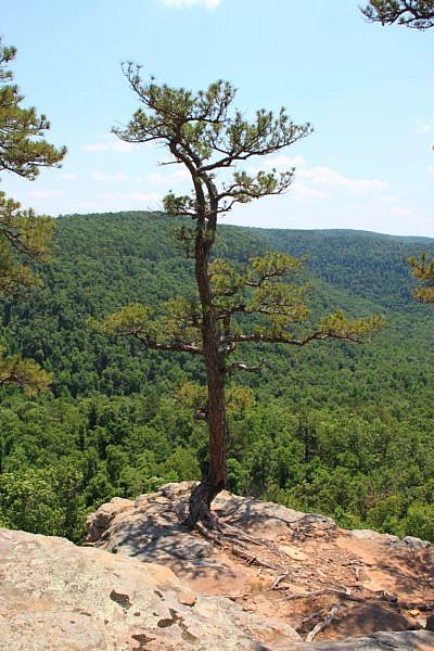
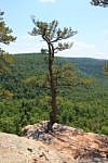
Eventually you’ll come out on a big rocky area that overlooks the valley. Keep following this rocky ledge around and Sams Throne comes into view across the valley. The view here in all directions is amazing. The Throne, the valley, the rocky formations you’re standing on, the evergreen trees that are growing out of the rock ledges – it is all just amazing.
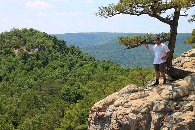
Enjoy for as long as you like.
When done, find a trail that takes back off to your right and up the hill. About 300 yards up the hill, you hit the gravel road that if you had taken it through the gate and parked, these little trails are the ones that would have led you to the overlook without the 2.5-mile hike. Sometimes I feel like you have a greater appreciation for the views when you earn your way there. But if you parked here, you’ll note that there are three trails down to the bluff line that all leave from slightly different spots on the fence line. They all lead to the same place, but the one on your far right as you face them is probably the most direct route.
If you’re finishing up your hike, head on up the gravel road to your parking spot.
The entire loop is about 2.5 miles, but by the time you scramble to the top of Sams Throne and explore around a bit, it’s probably a bit closer to 3 miles of hiking.
Leave yourself plenty of time for this hike. You will want a lot of time to explore, enjoy the views, and enjoy a picnic.
Date Hiked: May 27, 2012
Distance: Officially 2.5 miles, but it sure seems longer than this.
Difficulty: Moderate. Easy, if you just go down to the overlook without the hike. Pretty strenuous, if you scramble up to the top of Sams Throne.
Footwear: Trail runners, or hiking boots.
Map and guidebook: Tim Ernst’s Arkansas Nature Lover’s Handbook
Photo Gallery
Click below for full-screen photo gallery.
[This post was originally published on June 17, 2012 on the blog “Exploring Northwest Arkansas.”]
[Last revised: 11-27-2018]

One reply on “Sams Throne Trail (Ozark Forest) – 3 mi”
Thank you for the detailed descriptions of how to find the trail head, etc. Nothing is marked out there, and we had no clue how to find it! Your directions were perfect!