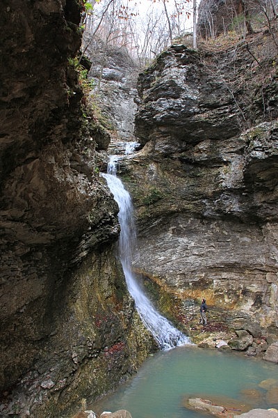
The Lost Valley Trail is the most popular hiking trail in the Buffalo River area – and for good reason. It’s easy to get to, easy to hike, very family friendly, and has more “bang for your buck” than nearly any hike anywhere.
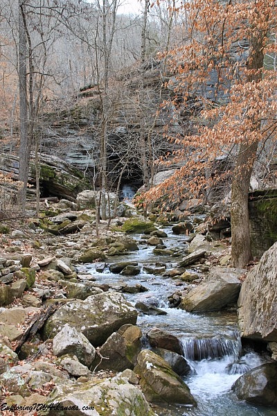
This is the first trail I hiked in Arkansas, and it is one of the many reasons I fell in love with the area. It has everything: a natural bridge, high bluffs, beautiful woods, moss-covered rocks, a fantastic waterfall, and even a cave (that also has a waterfall).
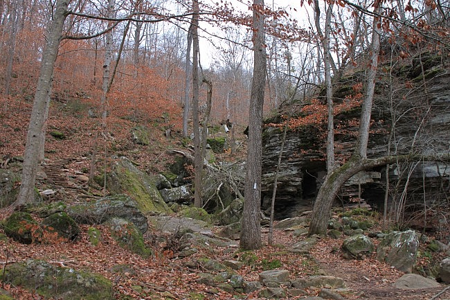
Getting to Lost Valley Trail
To get to the trailhead, take Highway 43 from Ponca to Boxley through the Boxley Valley. There is a sign that clearly marks the turnoff to the Lost Valley Campground and hiking area. Turn here.
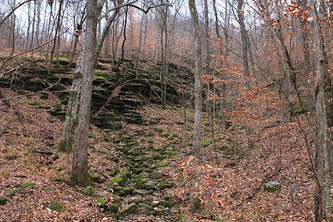
About a half-mile down the road, you’ll get to a large parking lot with some pit toilets and a shelter.
The campground here was closed in Spring 2011 after some very heavy rains that washed away many of the campsites and damaged a lot of the trail. The trail was badly damaged again in the Spring of 2015.
A lot of hard work has been put into getting the trail back into shape. I hope the camping areas will be repaired as well. It’s such a magical place.
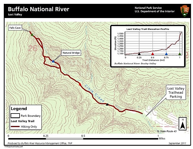
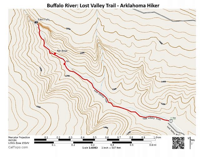
At the back of the parking lot, the hiking trail heads down across a newly built rock bridge that crosses a little creek. This is Clark Creek. You’ll be following it through the valley.
It’s usually dry here, but there is often great water at the falls even if it’s dry in this spot as most of the water flows underground here.
Lost Valley Trail
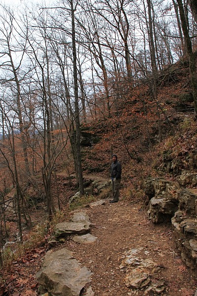
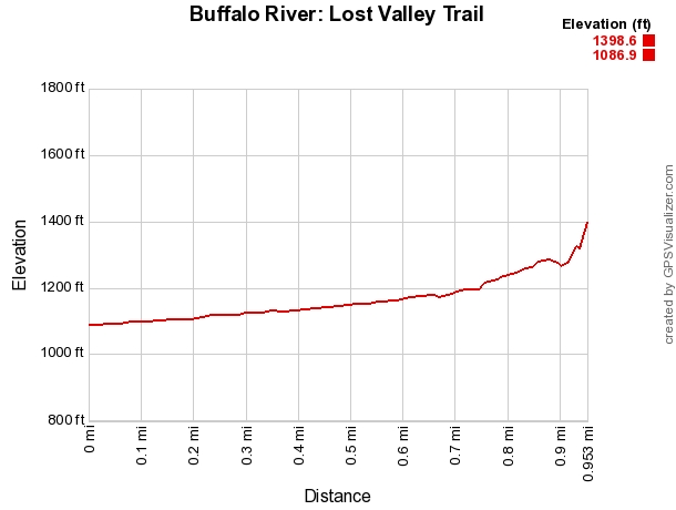
The trail is easy to follow. In fact, nearly the entire first half of the trail is ADA accessible.
The woods here are very pretty, almost tropical. There is a lot of fern-type vegetation in the spring and summer, and there are a lot of moss-covered rocks that in the fall provide a nice, bright green balance to the leaves on the ground.
There are also many hollowed-out trees that are fun to look at.
At about .7 miles, the trail splits. Go right, heading downhill.
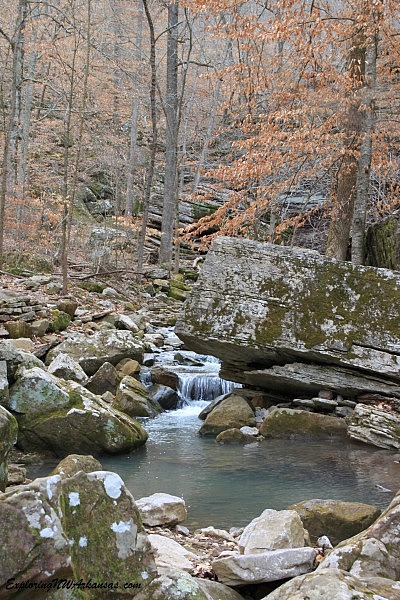
The trail goes down to a natural bridge with a little waterfall that tumbles out of it into a nice blue pool.
It is possible to climb through this little bridge to the other side, but if the water is high, it is easier to climb in from the other side.
After taking time to enjoy this little spot, the trail heads up to the left and around the bridge. There are some rock stairs here that were rebuilt after the flooding this spring.
As you get to the other side of the bridge, it is possible to climb down into the cave from the other side. It’s pretty neat inside the cave.
Back on the trail, the stairs continue to head up and eventually hit another trail. (This is the trail that you passed when you turned right instead of left a little ways back). Turn right here.
After a short stretch, the trail splits again at 1-mile. Again, go right. This section goes down into Cob Cave – a gigantic rock overhang that is great to explore.
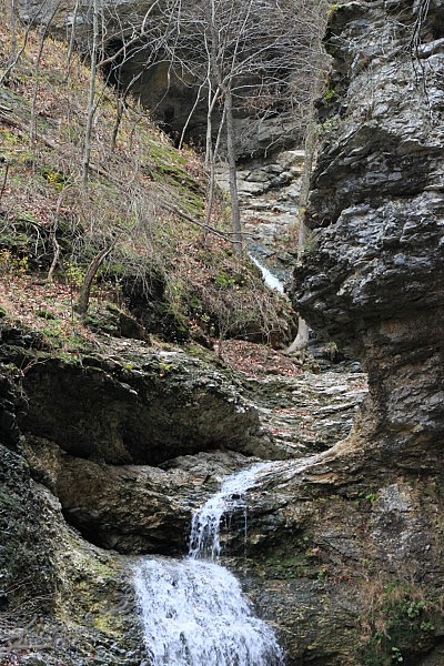
Eden Falls and Eden Falls Cave
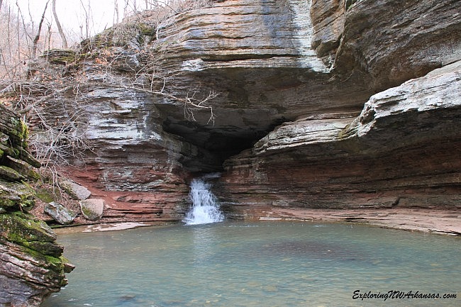
As you follow the trail a few yards further, you get to Eden Falls. During the wet season, this is a spectacular waterfall.
The waterfall begins all the way up at Eden Falls Cave. It tumbles out for 31 feet, then changes direction. Finally, it falls 53 feet into a beautiful blue pool of water.
The sound of the falls echoes through the canyon and Cob Cave. It really is a special place. Sit for a while and enjoy.
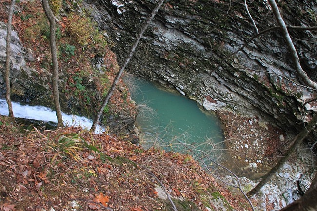
When you’re ready, head up the hill, and you’ll once again reconnect with the original trail. Turn right, and this will take you up to Eden Falls Cave.
This last section is a pretty steep climb and is not nearly as easy as the route that got you here. Head up this final .2 miles to the entrance to the cave.
The way up has more great views of Eden Falls. At the entrance to the cave, there is a great view below of upper Eden Falls that tumbles out of the cave.
You may be tempted to try to scamper down to get a better photo of the water coming out of the cave, but this is not recommended. This area is quite slick, and a fall could result in serious injury.
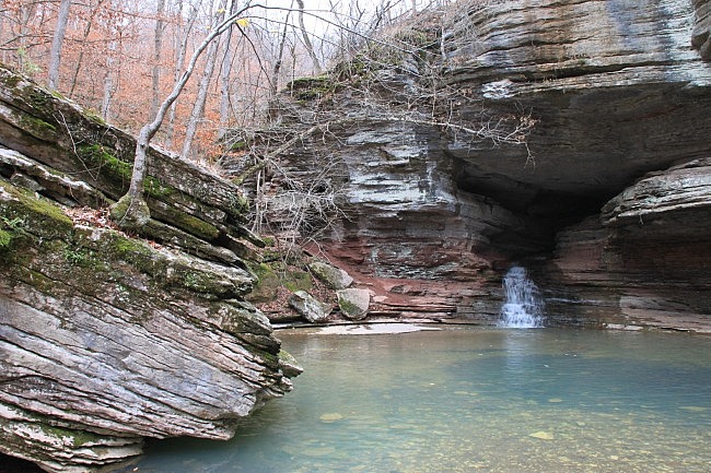
When you get to Eden Falls Cave, if you remembered to bring a flashlight (one for each person in your party), you can climb back into the cave. There is another waterfall inside the cave at the back.
Some day I will have the right camera, the right clothes, the right flashlight, and the right water flow to slither back there and get a picture of the waterfall inside the cave.
When you are done at the cave, you can head back on the trail the way you came. Staying to the right each time you hit an intersection is the most direct route back and covers all the paths you skipped on the way here.
While this is a pretty short hike, leave yourself plenty of time to explore and enjoy this magical place.
Note of caution: there are places on the trail (such as near Eden Falls Cave) with ledges and drop-offs. Use extreme caution around these areas.
Final Notes
The total hike to Eden Falls Cave and back is about 2.3 miles.
I rate the difficulty of the trail as mildly challenging (2 of 5).
As for footwear, trail shoes are generally fine, but it can be rocky in places. If you have weak ankles, you may want to wear hiking boots.
The trail is covered in Tim Ernst’s Buffalo River Hiking Trails and Arkansas Waterfalls books.
[Check out video Mike took of Eden Falls here and here.]
Photo Gallery
Click below for full-screen photo gallery.
Map
Lost Valley Trail (Buffalo River) |
|
|---|---|
| Location | Buffalo National River near Ponca, Newton County, Arkansas |
| Length/Type | 1-mile out-and-back hike (2 miles each way) |
| Difficulty | Mildly challenging (2 of 5) |
| Gpx file (by Mike) of Lost Valley Trail to Eden Falls | Link |
| Date Hiked | November 27, 2011, March 20, 2015, and other times |
| Directions | Google Maps Directions to Lost Valley Trail |
| Official Info | (870) 439-2502 (Tyler Bend Visitor Center Information) Website NPS Trail Map (pdf) |
[A version of this post was originally published on November 18, 2011 in the blog “Exploring Northwest Arkansas.”]
[Last revised: 10-22-2019]


One reply on “Lost Valley Trail + Eden Falls (Buffalo River) – 2 mi (o&b)”
Thank you for the great information!