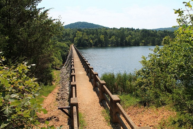
[Note: As of this writing, the part of the trail that goes over the dam is closed since walking is no longer allowed there due to disrepair. Hopefully, at some point it will reopen since the walk across the dam is a beautiful one. 3-13-2022.]
I love Lake Leatherwood (Eureka Springs, Carroll County). It’s a 1,600-acre municipal park that’s mostly wilderness. It has lots of great hiking and biking trails. It’s owned and run by the City of Eureka Springs.
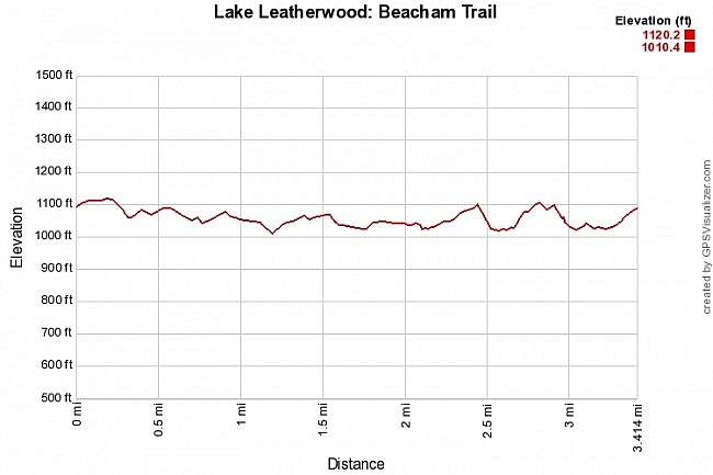
The Beacham Trail makes a 3.2-mile loop around the lake. It has some mild climbing, but it’s not a difficult hike.
The trail has some very nice views of the lake, particularly on the north side where the trail crosses the top of the dam.
Getting to the Beacham Trail at Lake Leatherwood
To get to the Lake Leatherwood Park, take Highway 62 to Eureka Springs. The sign for the park is visible from the highway. It is on the north side of the highway in Eureka Springs, about 3 miles west of the intersection with Highway 23. It is just west of Thorncrown Chapel.
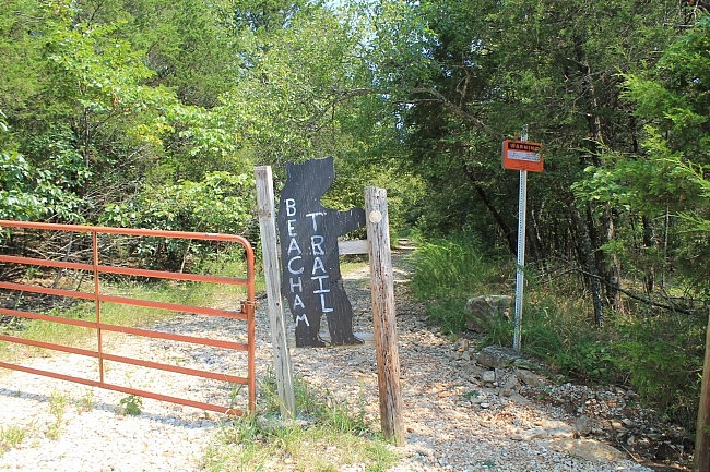
Follow the signs and head down the main road (County Road 204) to Lake Leatherwood. Shortly before you reach the lake, the Beacham Trailhead (with parking) will be on your left.
You can get Google Maps directions from your location to the Beacham Trailhead at this link.
The Hike
The Beacham Trailhead is well marked and has parking. The trail has yellow blazes.
The trail makes a clockwise loop around the lake starting on the west side.
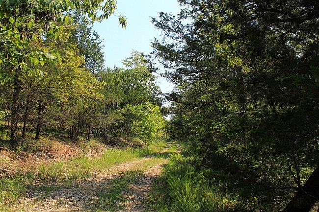
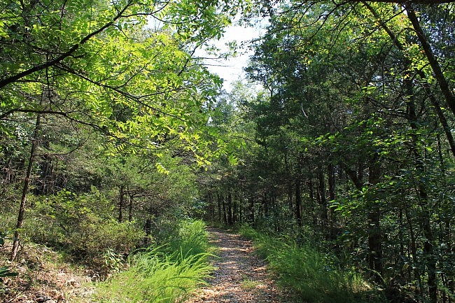
The best parts of the trail are coming up. The first mile is basically a pretty wooded walk on a gravel road. This part of the hike is several hundred feet from the lake so you can’t really see the lake during leaf-on. (You can get some views of the lake if you go on the Fuller Trail instead on this part of the loop. It’s a shorter trail that runs along the west shoreline.)
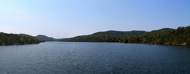
At around 1 mile, the trail makes a sharp right turn and descends down to Lake Leatherwood Dam. The trail goes across the top of the 600-foot-wide dam. This is probably the coolest part of the hike.
Lake Leatherwood Dam dam was built by the CCC in the 1930s. It was built from nearby limestone. Walking across this old dam is cool and there are some great views of the lake here.
It’s also neat to look at the spillway water behind the dam that flows back into Leatherwood Creek.
After crossing the dam, the trail makes another right turn and begins heading down the east side of the lake.
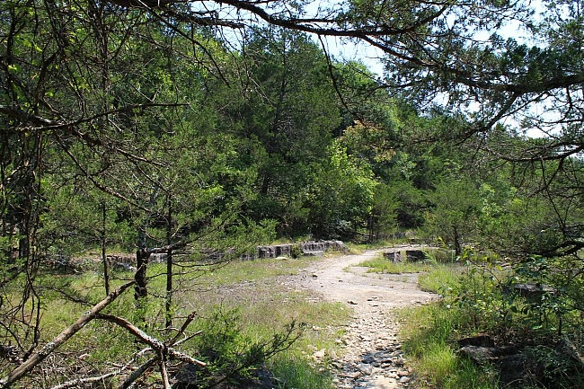
Shortly after crossing the dam, the trails comes to a flat, open, rocky area. This is the quarry from which the dam’s stones were cut. This is an interesting area, both for its history and for the visual contrast with the rest of the hike.
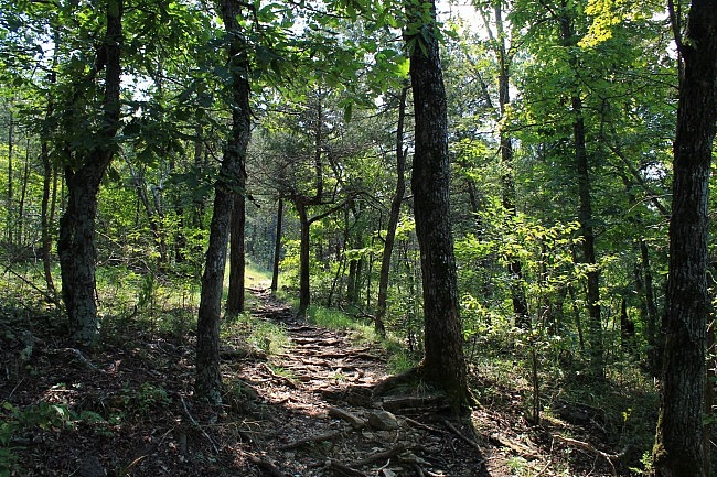
The part of the Beacham Trail along the lake’s east side is more scenic than the west side. It is a traditional trail rather than a gravel road.
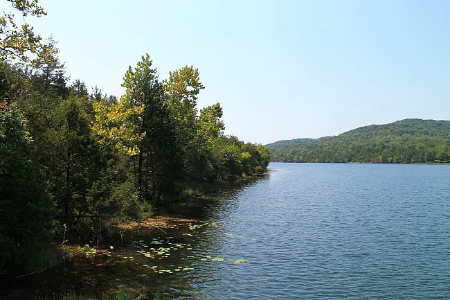
The trail on the east side is often quite a bit closer to the lake. There are a number of cool views of the lake on this side, even during leaf-on.
Even though the elevation difference on the hike is only 110 feet, the cumulative elevation gain (due to up-and-down climbing) is about 511 feet.
There is a bit of climbing in places on the trail and enough topography to keep it interesting, but it’s not a difficult trial.
There are a number of trails at Lake Leatherwood. (Check out pdf map here.) You’ll see a number of signs for the intersecting trails while on Beacham Trail.
When the trail is making its trek around the south end of the lake, it crosses Leatherwood Creek (and some other streams). During high water times, it can be challenging to make a dry crossing through this low-lying area, even with the footbridges that are there.
The Beacham Trail comes to an end at the south part of the west side of the lake next to the campground. From here, it’s about a .2-mile walk to the north back to the main trailhead.
Including this last part, the whole walk is about 3.4 miles.
Final Notes
When I was there, it was easy to follow (yellow blazes on most of the trail) and there was often good signage. This is a pretty frequently travelled trail. I found it easy to follow.
Overall, I had about AT&T cell coverage about 40% of the time.
Check out Shelley’s visit to the Beacham Trail in this post.
These pictures are all from my August 29, 2016 hike.
See this post for more Beacham Trail pics from that hike.
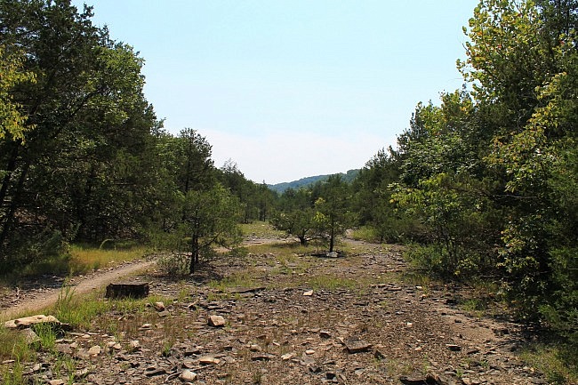
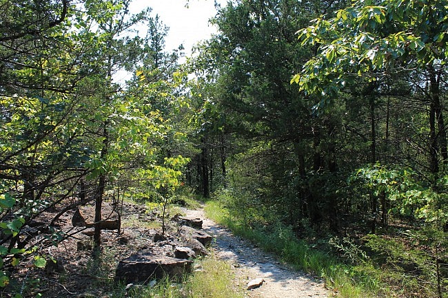
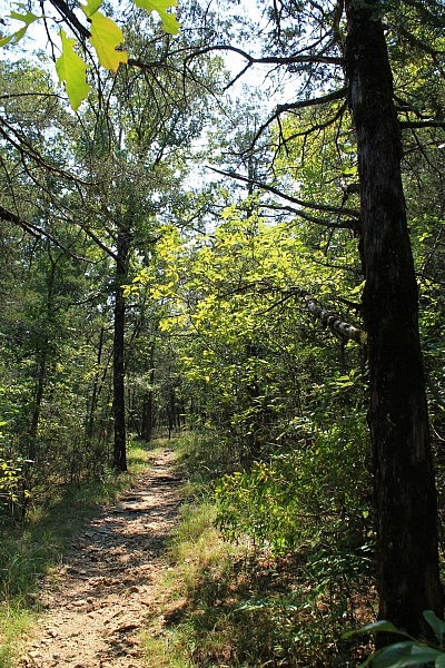
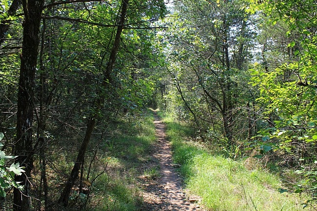
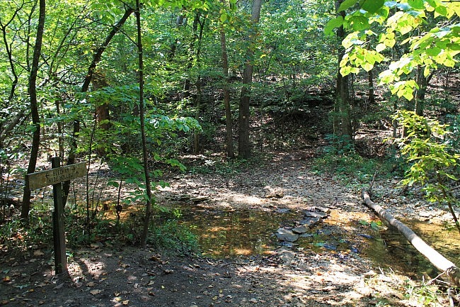
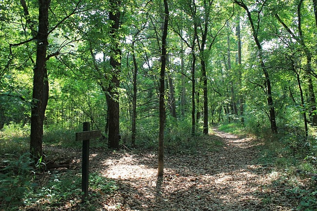
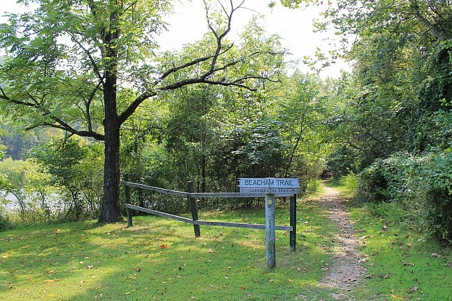
Photo Gallery
Click below for full-screen photo gallery of these and additional pics from my August 29, 2015 hike.
Map
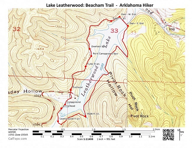
Lake Leatherwood: Beacham Trail | |
|---|---|
| Location | Lake Leatherwood Park, Eureka Springs, Carroll County, Arkansas |
| Length/Type | 3.2 mile loop (3.4 miles to make it back to the trailhead) |
| Difficulty | Moderate (3 of 5) |
| Gpx file by Mike | Gpx file link |
| Date Hiked | August 29, 2015 (and earlier) |
| Directions | Google Maps Directions to Beacham Trailhead |
| Official Info | (479) 253-7921 Website Park Trail Map (pdf) |
[Updated: 3-13-2020]


