Hobbs: Sinking Stream Trail – .5 mi

Hobbs: Sinking Stream Trail - .5 mi photo
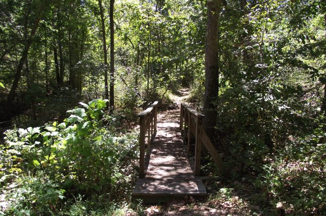
A footbridge on Sinking Stream Trail at Hobbs State Park-Conservation Area.

The Sinking Stream Trail is a new trail at Hobbs State Park-Conservation Area, in Benton County, Arkansas. It does not yet have any signage, but it is a nice little nature walk.
Hobbs: Sinking Stream Trail - .5 mi photo
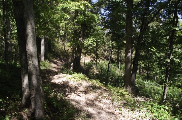
Sinking Stream Trail at Hobbs

.

Hobbs: Sinking Stream Trail - .5 mi photo
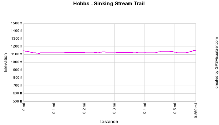
Approximate Elevations Based on GPS Data


Hobbs: Sinking Stream Trail - .5 mi photo
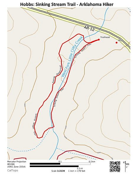
Hobbs – Sinking Stream Trail – Contour Map. (Click to enlarge.)

The .6-mile loop trail follows a short section of West Fork Little Clifty Creek.

There are several footbridges on the trail. At least one of them obviously predates the new trail.
Hobbs: Sinking Stream Trail - .5 mi photo
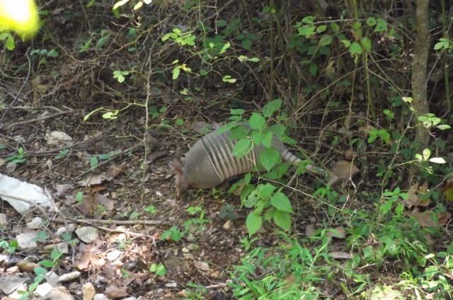
An armadillo near the Sinking Stream Trail

The trail begins near the Historic Van Winkle Trail trailhead. Parking is nearby.

Click here for gpx file download.

VITAL INFO

Trail Name and LocationSinking Stream Trail - Hobbs State Park-Conservation Area
County/StateBenton/Arkansas
Date Hiked09-06-2010 (midday)
Weather/Conditions80's
DirectionsIt starts at the Van Winkle trailhead area. Parking is nearby. No signage had yet been installed when I was there. I walked it clockwise.
Length0.6 miles
Loop?Yes
Difficulty

(1=Easy; 5=Most Difficult)

1
ATT Cell Coverage?Yes
Official Info - Phone/Links(479) 789-5000
Official website. Friends of Hobbs website.

Enter your location to get directions to this general area:

Last revised: 9-29-2019.

By Mike Newman

Mike Newman, editor and creator of Arklahoma Hiker, likes to day hike and walk outdoors in Arkansas and Oklahoma.

What do you think? (Leave a comment.)

This site uses Akismet to reduce spam. Learn how your comment data is processed.