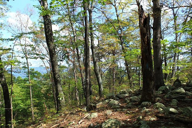
This is a scenic but challenging 5.5-mile Ouachita Trail Section 1 segment on Winding Stair Mountain (LeFlore County, near Heavener) starting at Deadman’s Gap (about Mile 8, near Deadman Vista overlook) and heading east to a branch that becomes Wildhorse Creek (about Mile 13.4).
(The Wildhorse Creek branch is about midpoint between Deadman’s Gap and Horsethief Springs.)
So as a strenuous out-and-back day hike, it is about 11 miles and has lots of elevation change.
Getting to the Deadman’s Gap Trailhead
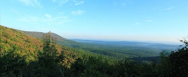
There is some parking at the beautiful Deadman Vista overlook.
To get there from Poteau, take Highway 271 south toward Wister. A few miles past Wister, turn left (south) where 271 splits from Highway 270.
In about 15 miles, turn left (east) onto the Talimena Scenic Drive (Highway 1). After about 6 miles, the Deadman Vista overlook will be on your left (north side).
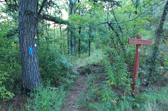
After parking here, you can take a left (east) and walk downhill along the highway about a quarter-mile until you reach the Ouachita Trail junction. The OT crosses the highway at this point.
Take a left for this hike. This is the Deadman’s Gap trailhead.
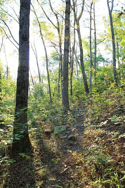
The Hike
I’m a huge fan of Winding Stair Mountain, and this hillside area along the north side is one I think is quite scenic.
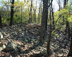
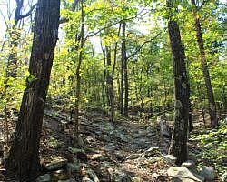
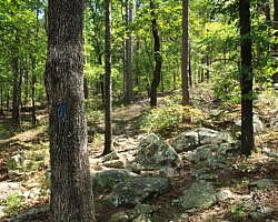
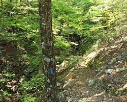
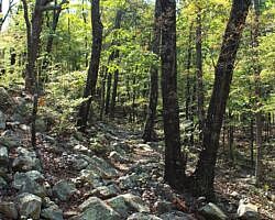
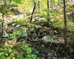
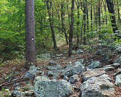
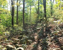
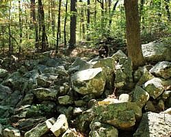
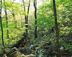
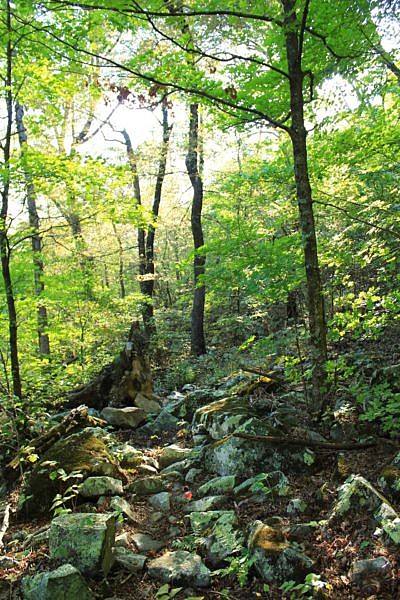
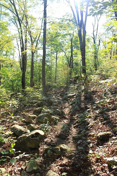
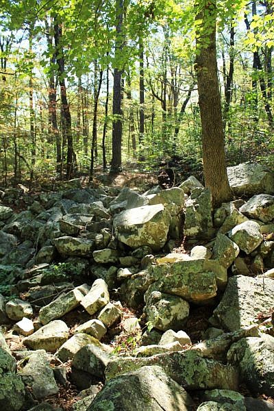
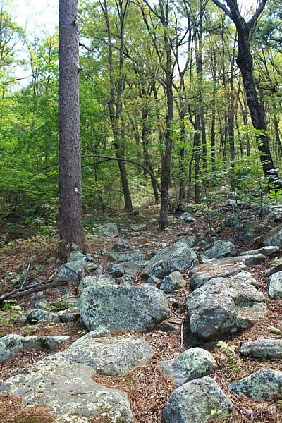
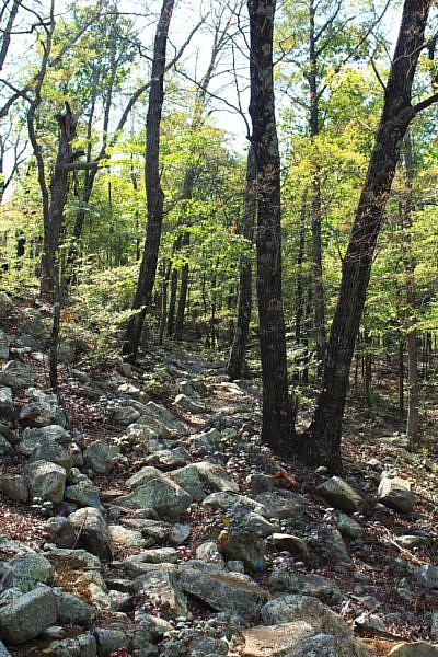
There are a lot of very rocky stretches of the Ouachita Trail on Winding Stair Mountain. Much of this part is quite rocky. I really enjoy the beauty and variety of the rocky areas, but it does mean a more strenuous hike.
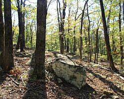
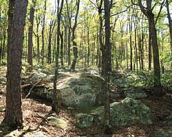
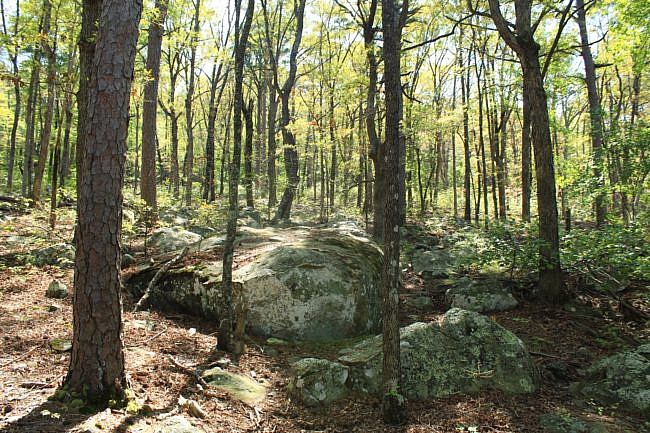
There are lots of areas with medium size rocks on or near the trail and cool rock formations on this segment.
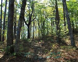
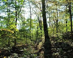
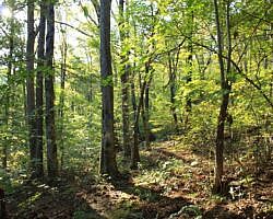
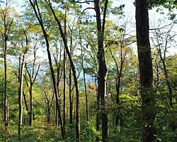
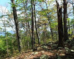
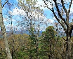
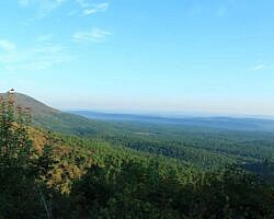
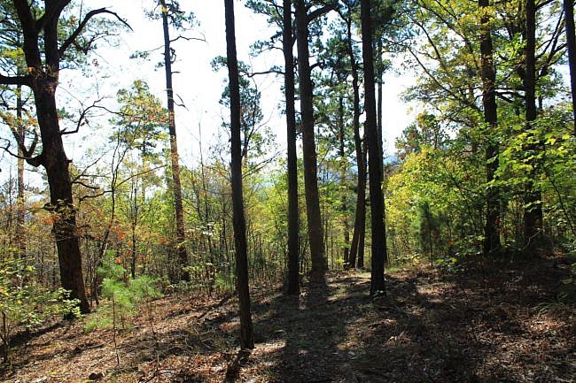
During my hike during leaf-on, there were very few big open vistas on the trail. There were a few of these where big boulder fields prevented tree canopy growth allowing for wide open viewing. One of these was around Mile 12.
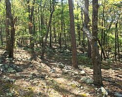
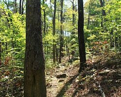
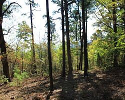
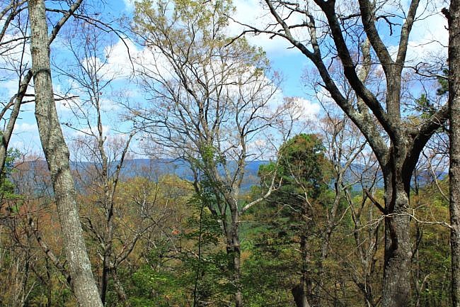
But there were quite a few areas with small views through the trees of the Holson Valley area below. Of course, having the more frequent open views is one of the nice things about hiking during leaf-off.
Here is a note about my latest day hike on this segment. I started at Deadman’s Gap with the goal to reach Wildhorse Creek, then turn and hike it back. I have done this segment before, but neither time was I successful in completing the 11-mile out-and-back on the trail. Each time I ultimately decided to bushwhack to the highway for the return trip due to darkness and exhaustion.
If you try to do the 11 miles in one day, hopefully you will be more successful than me. Pace yourself and start as early as you can.
Elevation Changes
This is quite a rocky and strenuous hillside trail with a lot of elevation change. (Check out the elevation profile below.)
This stretch starts at around 1,600 feet elevation, works its way down to around 1,275 feet after about .8 miles, then works its way up to around 1,500 feet.
At around Mile 11, it heads back down to almost 1,200 feet. At about 12.4 miles in, it has climbed back up to almost 1,600 feet again. At the turnaround point of Wildhorse Creek, it is at about 1,325 feet.
Trail Conditions
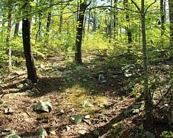
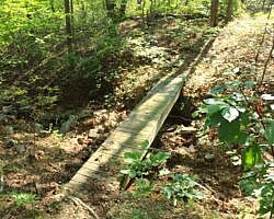
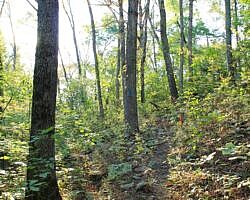
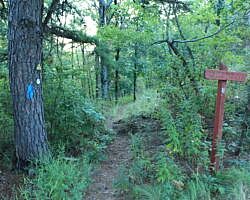
Generally on my September 15, 2018 hike, there was not a lot of overgrowth, and the trail was in pretty good shape and not hard to follow.
The Ouachita Trail is maintained by volunteers who at best are usually only able to do maintenance once in the fall and once in the spring. The most vegetation growth tends to be in the spring and early summer.
Winter and late fall are usually the best hiking times to avoid the overgrowth.
Other Things to Note
- At about 8.7 is the OT junction with the Boardstand Trail.
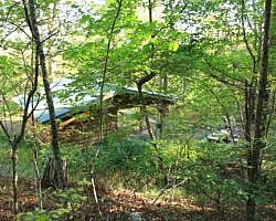
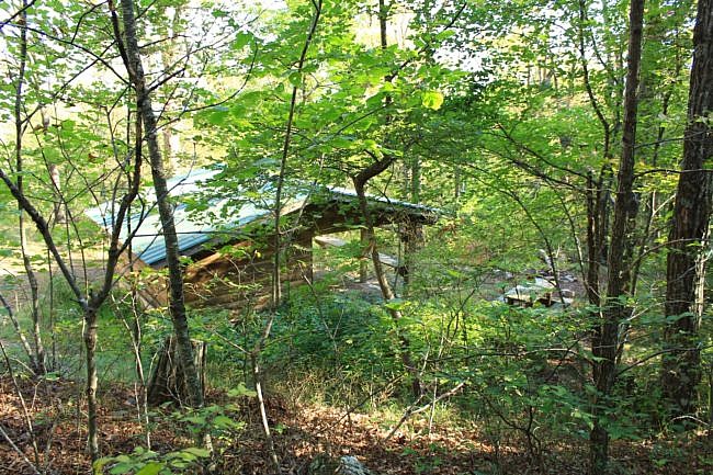
- At around 9.4, there is the Rock Garden Shelter built by Friends of the Ouachita Trail.
- There was a cool big boulder field at around Mile 13.
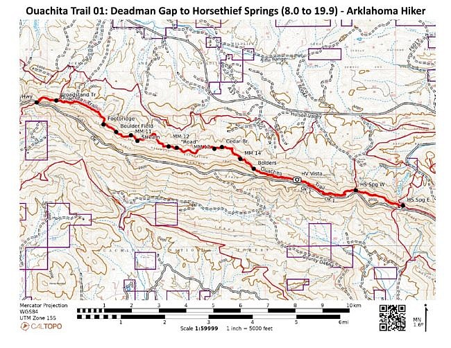
- On my trail maps below, I have mislabeled Wildhorse Creek as “Cedar Branch”. The spot I labelled “flowing stream” (around 11.2) is actually Cedar Branch. Don’t expect any flowing water during dry times of the year. But during wet times, Cedar Branch and Wildhorse Creek are both very pretty with significant water.
Final Notes
I had AT&T cell signal around 50% of the time during this part of the trail.
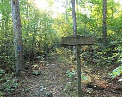
The blazes on the Ouachita Trail are blue.
For more info and resources about the Ouachita Trail, see this page.
These pics are all from my September 15, 2018 hike.
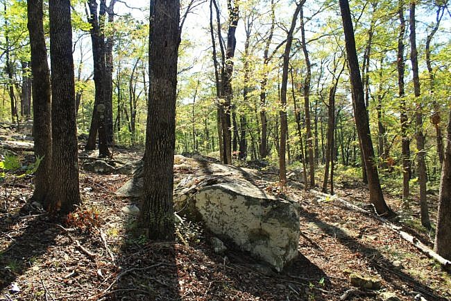
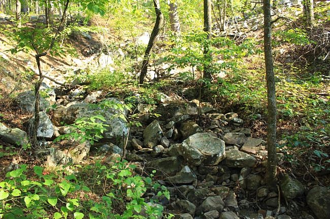
Photo Gallery
Click below for full-screen gallery of these and more photos from my September 15, 2018 hike.
Map
The map and elevation profile below are for the entire segment from Deadman Gap to Horsethief Springs. Wildhorse Branch is in the middle, about 5.5 miles from Deadman Gap.
So the hike described above is just the western half the trail indicated on the maps below.
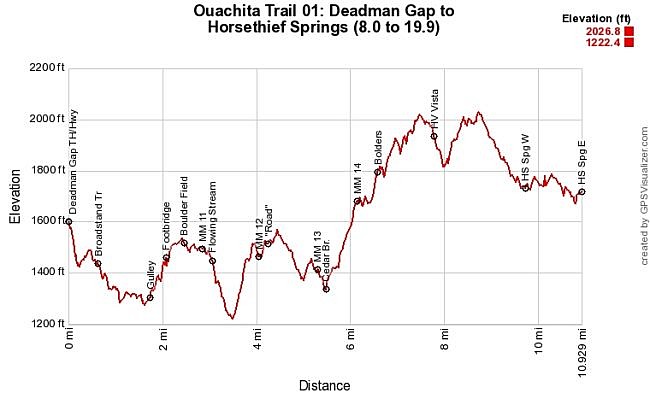
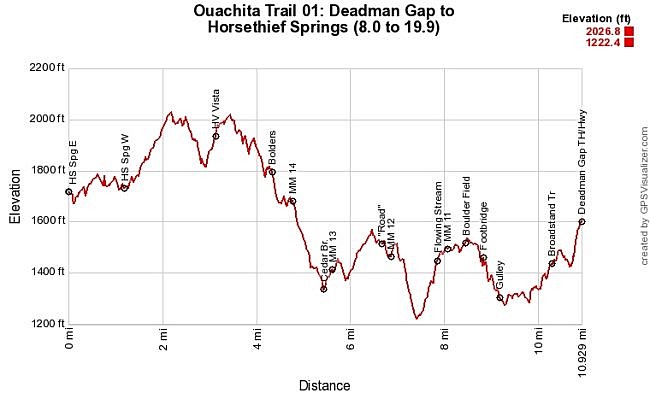
Ouachita Trail 01: Deadman Gap to Cedar Branch (8.0 to 13.4). | |
|---|---|
| Location | LeFlore County, Oklahoma |
| Hike Length/Type | About 5.5 miles from Deadman's Gap to Cedar Branch. (11 miles for out and back.) Blue blazes. |
| Difficulty | Very strenuous (5 of 5) |
| Other Permitted Usage | Mountain bikes |
| Gpx file by Mike (of entire Deadman Gap to Horsethief Springs) | Link |
| Date Hiked | 9-15-2018 |
| Directions | Google Maps Directions to Deadman Vista Overlook |
| Official Info | (918) 653-2991 (Oklahoma Ranger Dist., Hodgen) USFS Website FoOT Website |
Last revised 5-30-2022.

