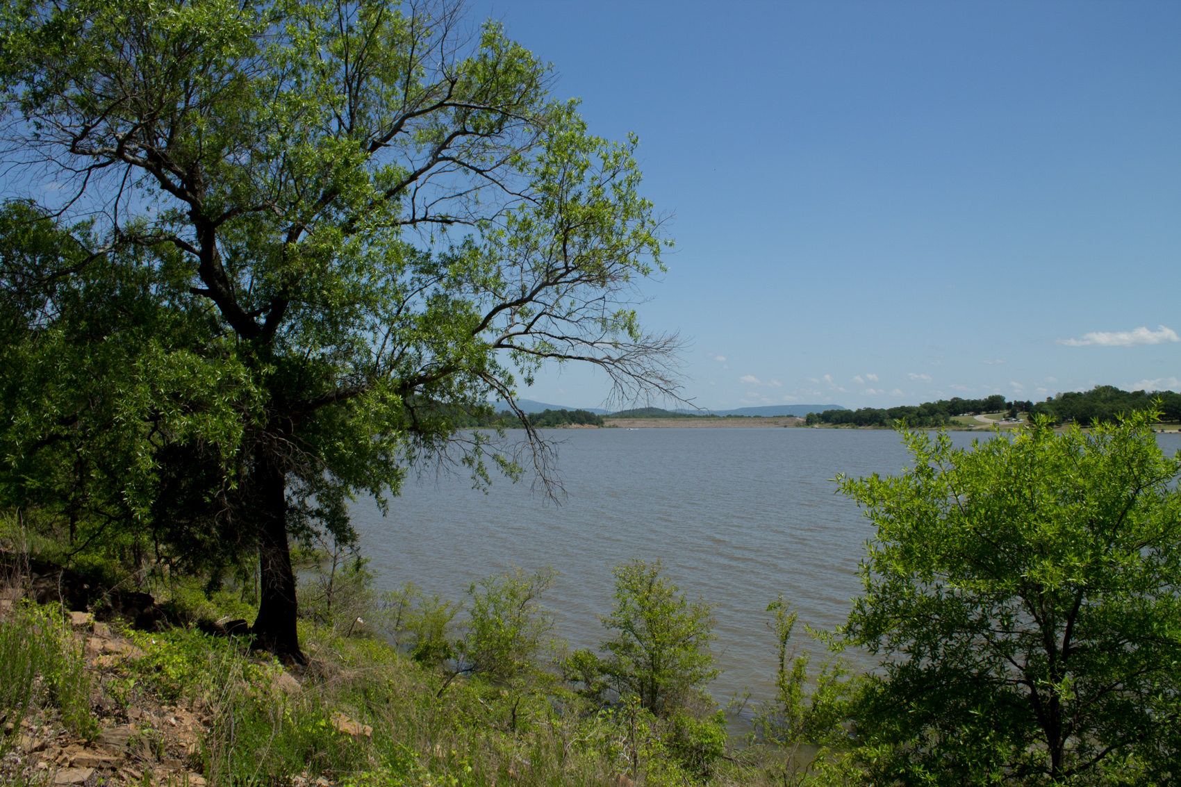
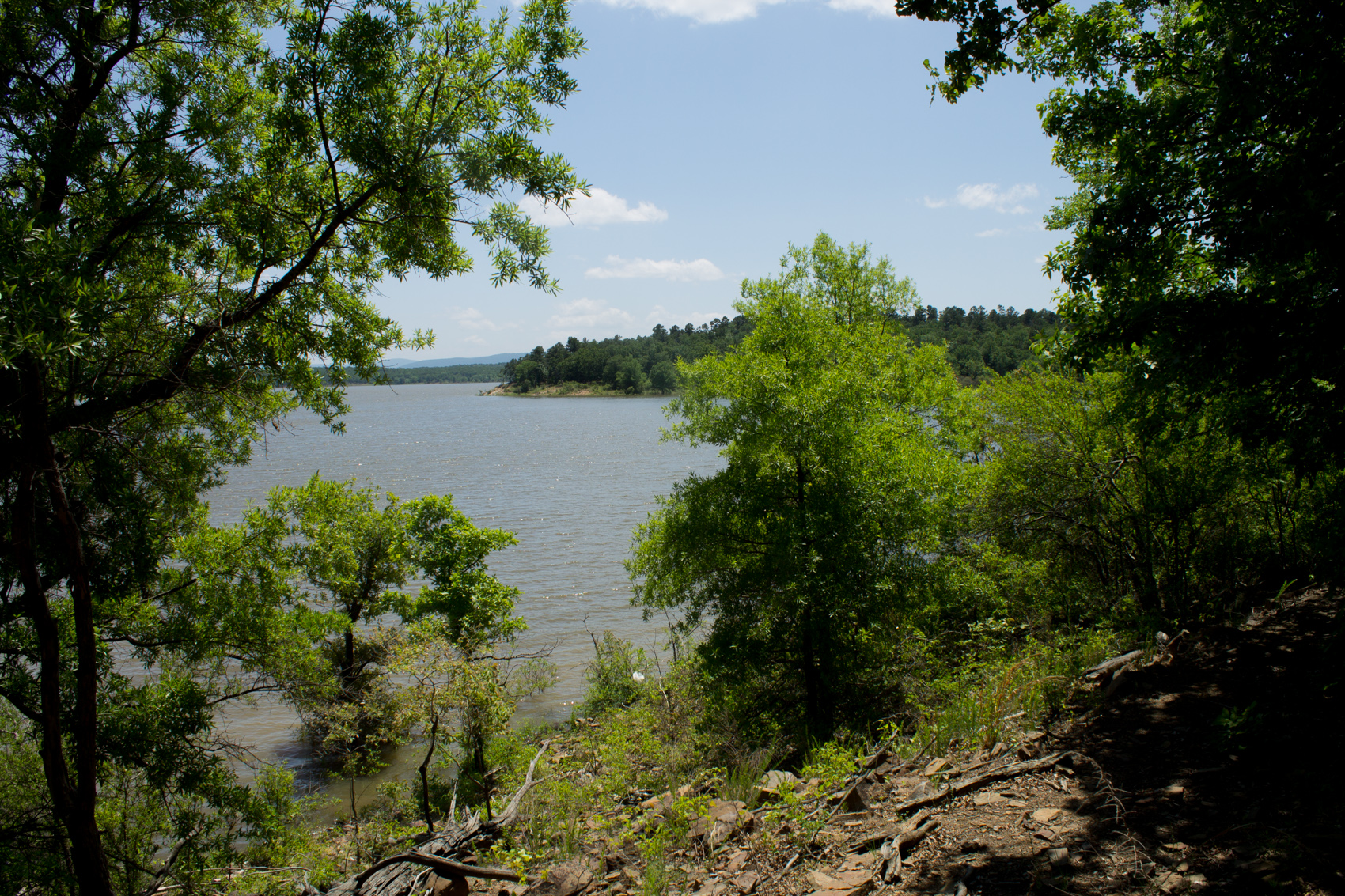
East-facing view of the view of the lake from the eastern part of the trail. The dam is in the distance.
A few weeks ago, I got to walk the Lake Wister Hiking Trail at Lake Wister State Park, near Poteau, Oklahoma. The 3-mile trail runs on the north side of the lake, parallel to (and south of) County Road 138. It goes from a paved walking path at the Wards Landing area to the east end near the swimming pool and miniature golf course.
The most scenic part of the trail is the mile or so on the east end that runs nearest to the shoreline. The best time to walk the trail is during leaf-off when the lake is much more visible in this part of the trail.
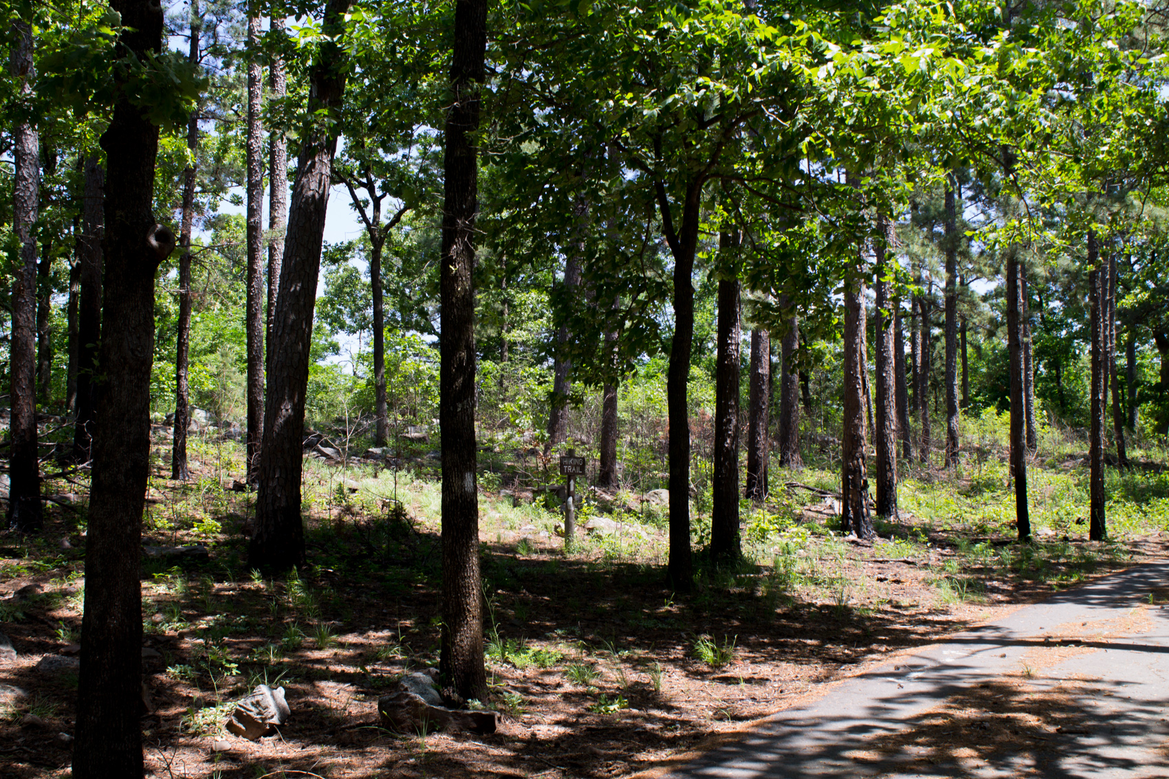
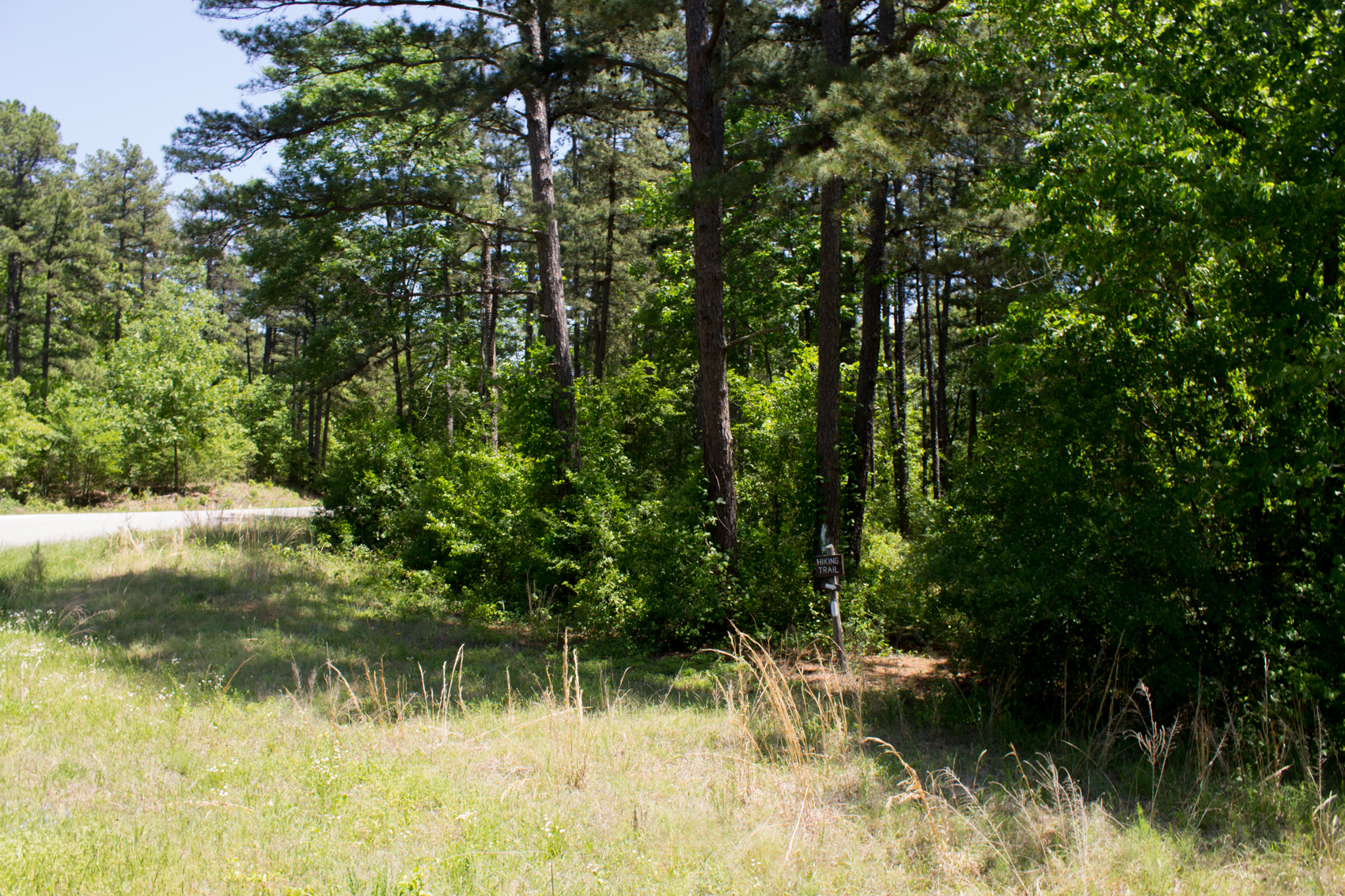
This is where the trail heads east from the Area 2 picnic area.
From the air, Lake Wister is about 15 miles north of Winding Stair Mountain (Ouachita National Forest). The mountain can be seen to the south from much of the lake.
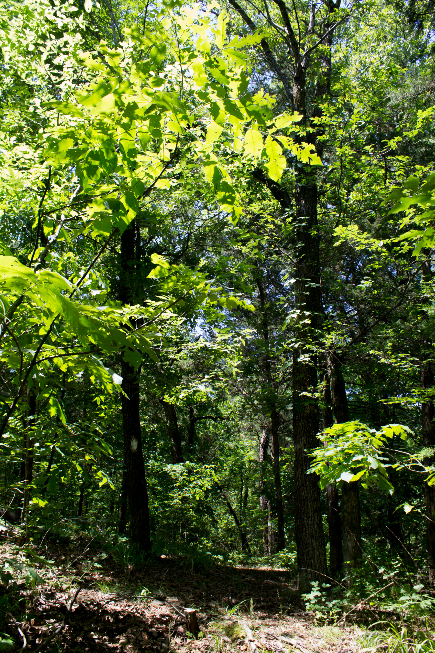
I would recommend staying clear of the western half-mile of the trail between Wards Landing and Area 2 (Ridge Road) campground. The overgrowth on that part of the trail is pretty significant. Generally, the overgrowth is not too bad on the rest of the trail.
These are some of the photos I took from my hike on May 10. (Click for larger view.)
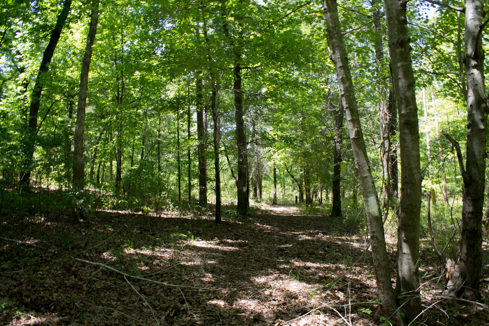
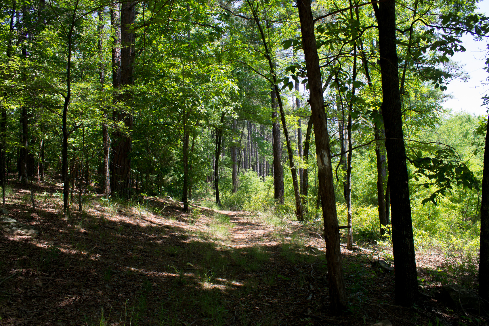
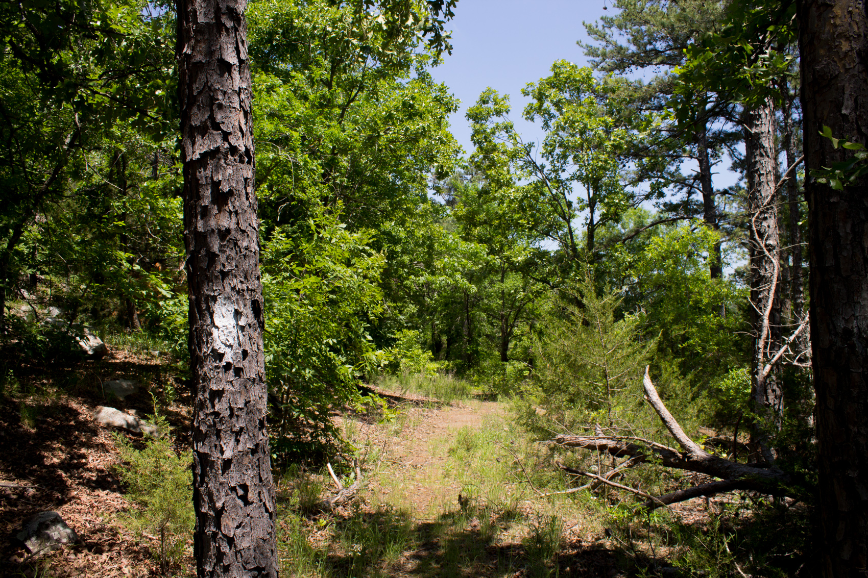
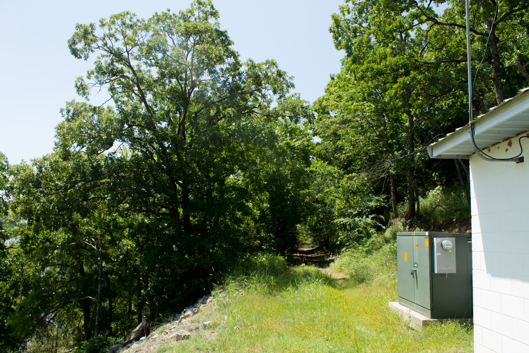
Lake Wister Hiking TrailLake Wister Hiking TrailThis part of the trail runs right next to County Road 138.For the most part, there are enough visible blazes to be able to follow the trail.Lake Wister Hiking TrailLake Wister Hiking Trail near the Lake Wister shoreline. Winding Stair Mountain (Ouachita National Forest) can be seen in the distance.This is the east end of the trail. It comes to an end near the water pump station pictured on the right.
In this earlier Lake Wister Hiking Trail post, you read more about the trail, and see my gpx-based trail map.