11-1-2024 Note: Mike visited this trail on November 1, 2024, and it appeared to be overgrown and largely unfollowable. Hopefully, at some point it will be back in good hiking condition again.
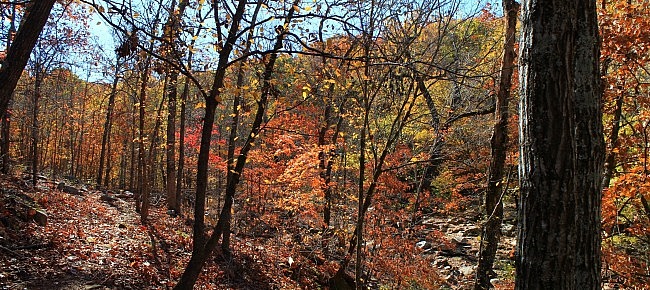
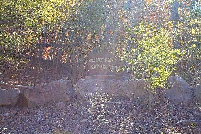
Buzzard Roost Nature Trail is a scenic 1-mile loop trail along Cato Creek by Lake Tenkiller in northwest Sequoyah County, Oklahoma. It’s a Corps of Engineers public use area, near Cato Creek Landing.
There is a little climbing on the trail, but it is not difficult.
The trail heads generally southwest along a stretch of the creek.
About halfway down the west side of the loop, the trail makes a short detour to the west where it crosses a side stream ravine.
Getting to the Buzzard Roost Nature Trail
If you’re coming from Interstate 40, take exit 297 (Vian) and head north on Highway 82.
About 9 miles north of the interstate (after passing through Vian), Highway 82 makes a sharp right turn where it combines with Highway 100.
Stay on 82/100 for 2.7 miles. Then take a left on E 953 Road. There is a “Cato Creek Recreation Area” sign here pointing left.
After a mile, the parking area for Buzzard Roost Nature Trail is there on your left just before the road curves right and crosses over Cato Creek.
The Hike
There are no blazes on the trail, but the vast majority of it is pretty easy to follow and walk. In fact, it seems like about two-thirds of the trail is on a road trace. But it is still a pretty scenic trail nonetheless, especially given how most of the trail is to the creek bed.
A short spur is at the beginning of the trail. After about 50 feet, you will be at the loop. I would recommend staying right to take the loop counterclockwise.
At about .1 miles, the trail is starts following pretty close to Cato Creek (on the right in this area). Cato Creek is scenic whether it is a wet time of year or not. It was pretty dry during my November hike.
At around .2, the trail turns right and crosses Cato Creek to the west side via a concrete footbridge. (When I did my recent hike, it was a little difficult to see this turn because of overgrowth along the bridge.)
The trail is pretty easy to follow again on the west side. In fact, that crossing was about the only place where I had some trouble following the trail.
The trail climbs some after the crossing. Overall, there is not much climbing on this trail. The elevation change on the trail is only about 80 feet.
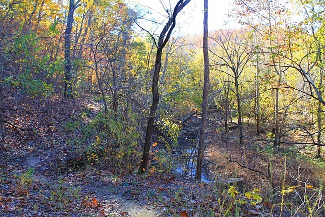
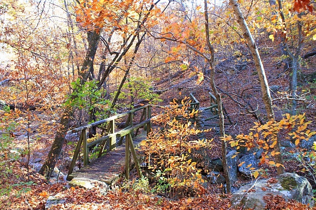
At around .3, there is a cool wooden and stone footbridge (in pretty good shape) at the stream crossing over on the west side. This stream valley is a beautiful area. There are a lot of boulders in the stream bed. (It’s probably even more scenic when water is flowing.)
After crossing the bridge, the trail turns and heads east back toward Cato Creek. Now we are into the southern half of the loop. The stream valley we just crossed and the southern part are prettiest parts of the trail. There is quite a bit of interesting hillside terrain in this area with nice views of Cato Creek.
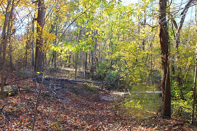
At around .6, the trail crosses Cato Creek back to the east side. (No bridge here.)
There are no blazes, but it is not too difficult to see where the trail continues on the other side.
After the crossing, the loop turns and heads back north. Again, the southern part of the loop is very nice with varied terrain and creek views.
At about 1 mile, the loop ends, and you are back at the very short initial spur.
Final Notes
The trail overall was in good condition and pretty easy to follow.
I had AT&T cell signal about 60% of the time.
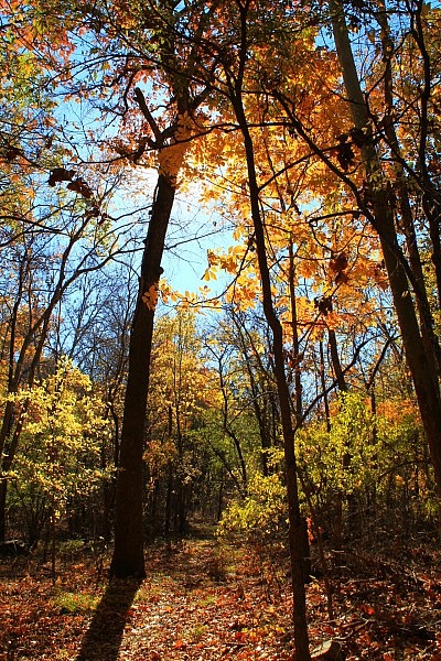
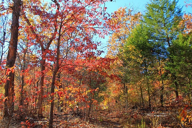
These photos are all from my November 19, 2016 hike. There was some nice fall foliage.
[More photos from that hike are in this post.]
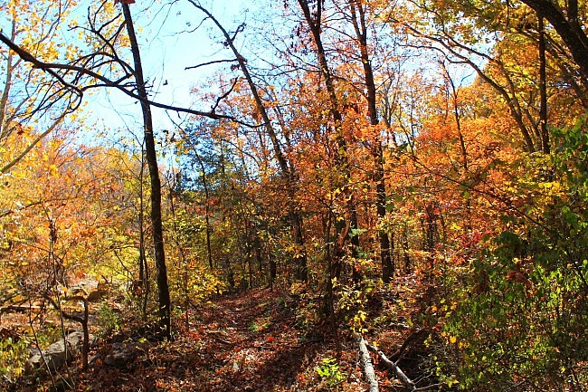
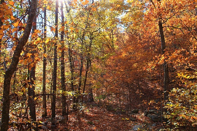
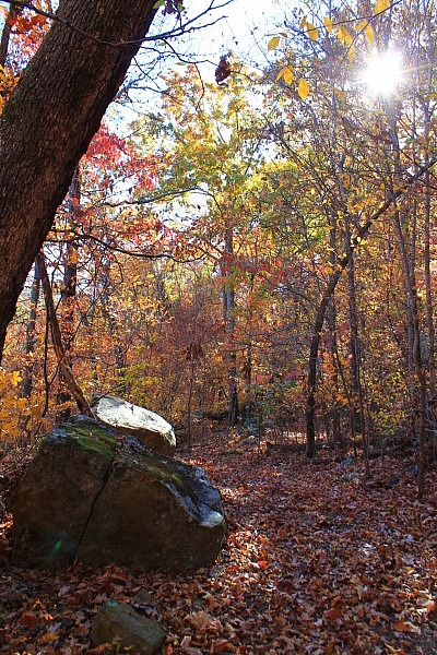
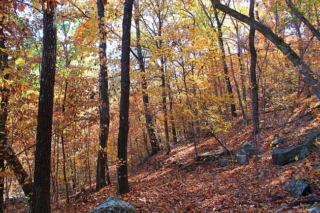
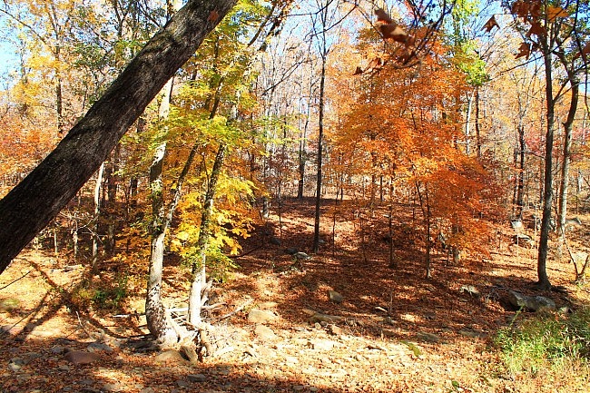
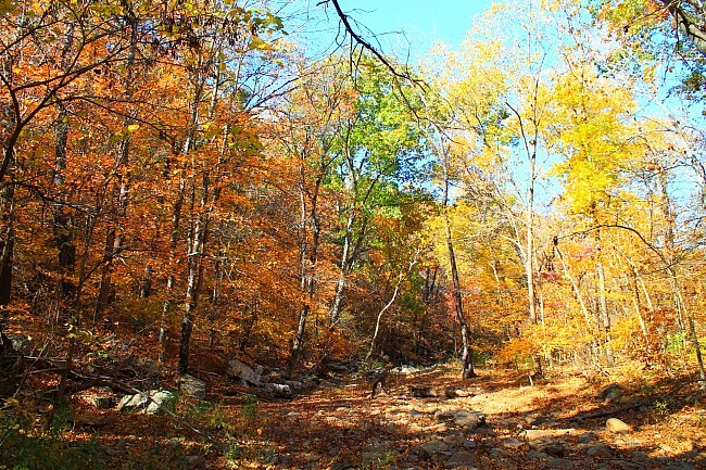
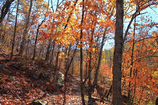
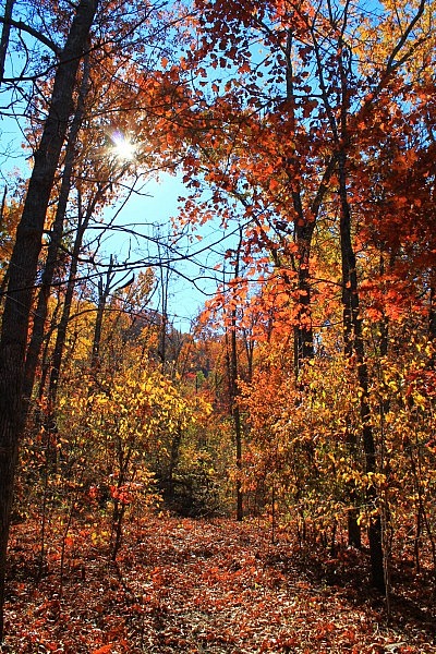
Photo Gallery
Click below for full-screen photo gallery of these pics and more taken the same day.
Map
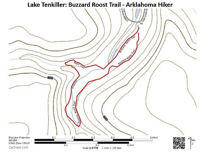
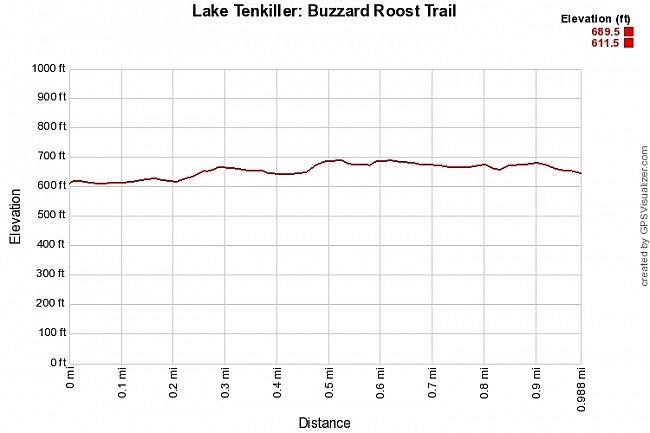
Lake Tenkiller: Buzzard Roost Trail |
|
|---|---|
| Location | Sequoyah County, Oklahoma |
| Hike Length/Type | 1.1 mile semi-loop |
| Difficulty | Easy (1 of 5) |
| Other Permitted Usage | Pets on a leash. |
| Gpx file by Mike | Link |
| Date Hiked | November 19, 2016 (and earlier) |
| Directions | Google Maps Directions to Trailhead |
| Official Info | 918-487-5252 Corps Website Lake Tenkiller Area Association Website |
Last revised: 8-22-2021.


