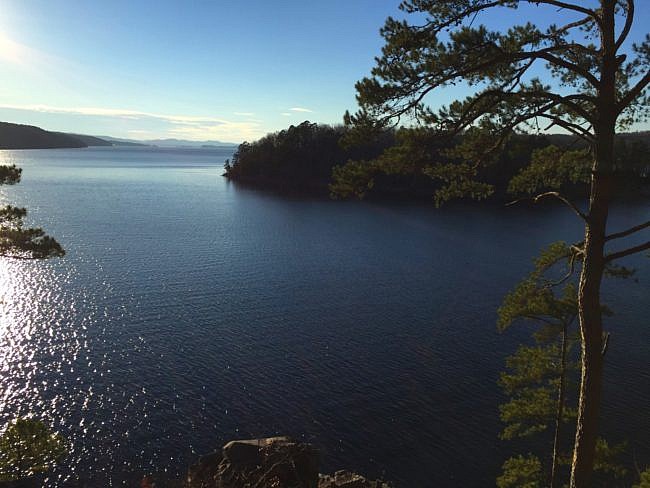
One of my favorite hikes around the Hot Springs area is the Caddo Bend Trail at Lake Ouachita State Park (Garland County). This 4-mile moderately challenging loop showcases the beauty of the forest that blankets the Ouachita Mountains.
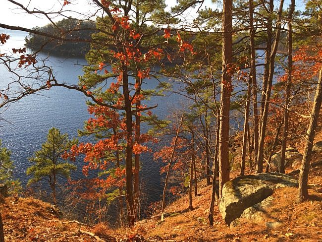
It also has beautiful views of Lake Ouachita.
Getting to Caddo Bend Trail
To get to Lake Ouachita State Park from Interstate 30, take Exit 98B to get on Highway 270 West. Stay on 270 West for about 22 miles as it goes through the south part of Hot Springs. Then swing left to stay on 270 West as it merges with Albert Pike Road.
After another 1.5 miles, turn right onto Highway 227 (Pine Mountain Road). Stay on this road to the park, about 12 more miles.
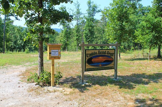
Take a left at the visitor center onto Crawdad Island Road. The clearly marked trailhead is on the left just ahead. There is parking there.
The Trail
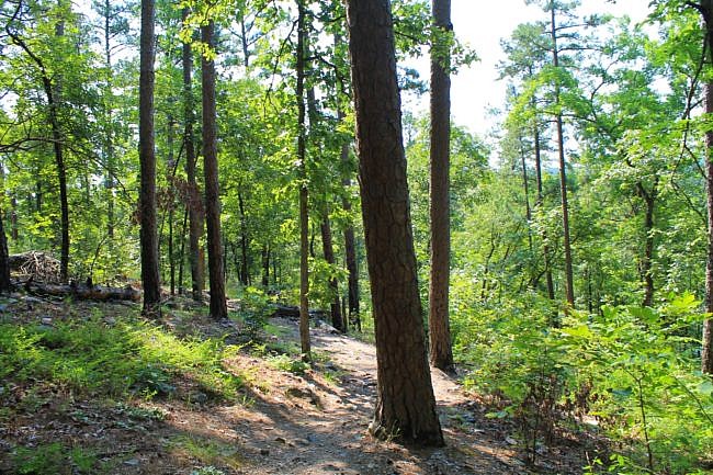
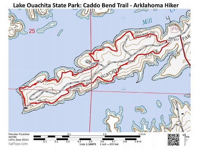
Caddo Bend Trail mostly follows the perimeter of a peninsula on the east side of Lake Ouachita. The suggested hiking direction is clockwise walking the south side of the peninsula first, then the short west end, then back on the north side. That is the way I usually go.
The trail has numerous yellow blazes and distance markers every half-mile.
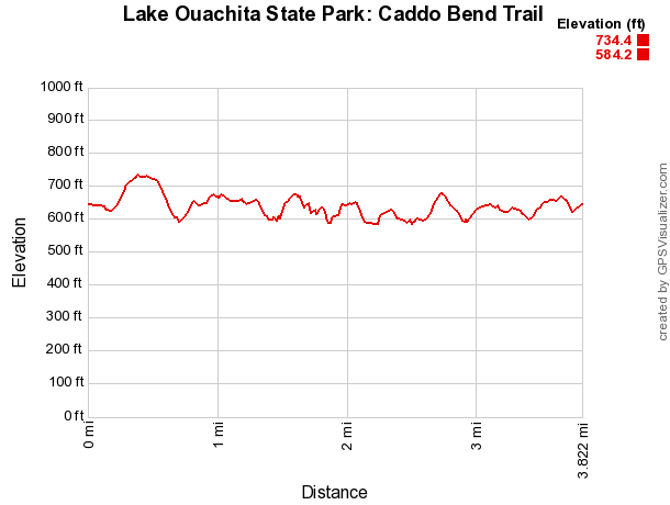
The trail is not very difficult, but it does have plenty of up-and-down climbing. There is only about a 150-foot difference between the highest and lowest elevations, but the “total elevation gain” (a calculation that adds up all the uphill climbing) is about 790 feet.
Tornado Impact
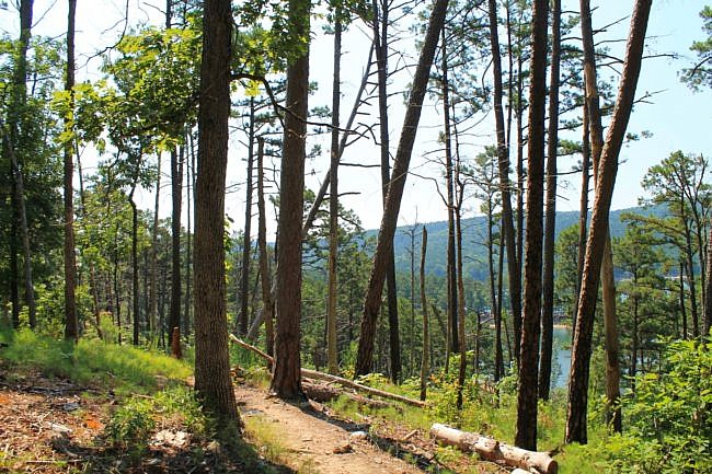
A tornado on April 25, 2011 struck the park and severely damaged the trail. It knocked down nearly all the trees on about one-third of the peninsula taking out much of the canopy.
Although it is sad that the storm damaged one of my favorite trails, it is interesting to see the growth of nature in the tornado-cleared areas.
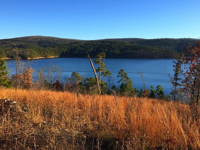
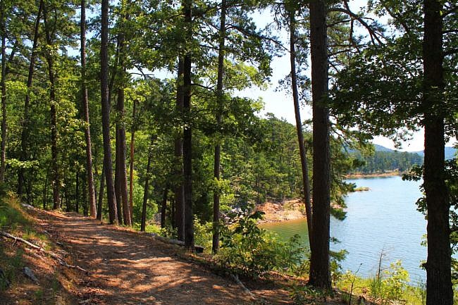
Actually I kind of like the changes. It opened up the trail, so the vistas of the lake are more numerous, and there are many more wildflowers in the spring and summer.
I also love hiking through the tall grasses that now take advantage of the abundance of sunlight.
But don’t forget your bug spray. The grasses and wildflowers are prime areas for chiggers.
West Peninsula and North Side
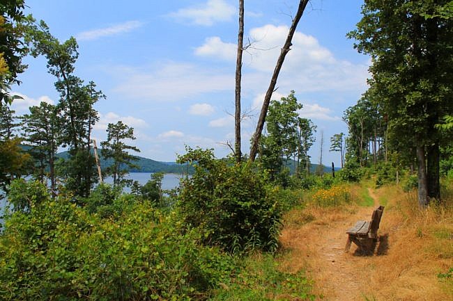
A little under half way, the trail comes to the tip of the peninsula on the west end of the loop. There is a deck here overlooking Lake Ouachita. This is a superb spot to watch the sunset.
An unofficial spur trail to the left will take you down to the lake shore. The trail never actually takes you down to the lake. But there are several unofficial trails that lead to nice beaches for cooling or just enjoying the lake.
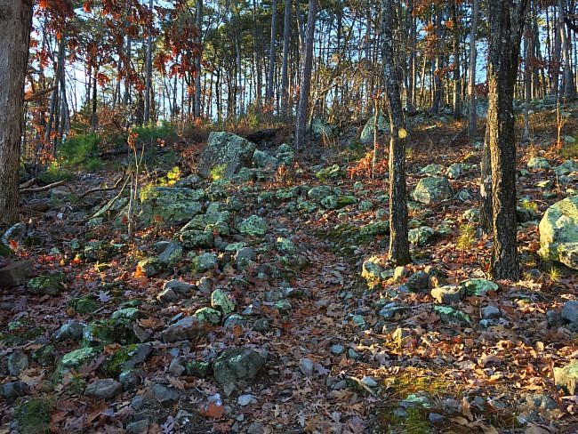
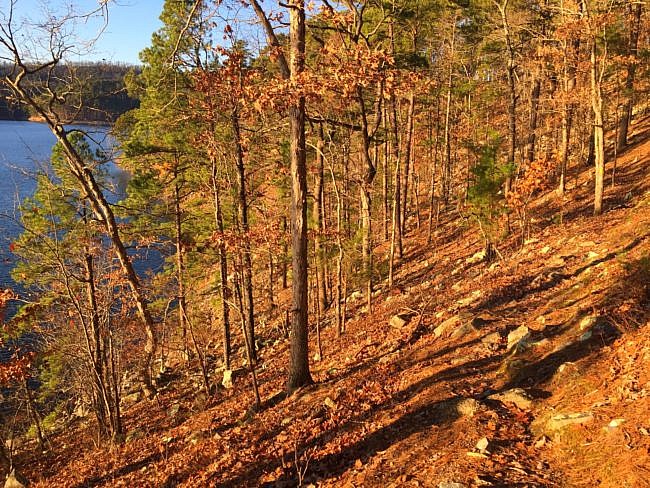
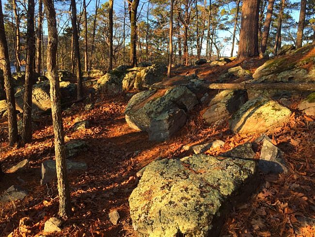
As the trail rounds the end of the peninsula, you hike through fairly rocky terrain. Then as the trail parallels the tip of the peninsula, it provides you with wonderful piney views of the cliffs below.
The trail makes its way around to the north side and begins heading back to the campgrounds and the park’s marina. On this leg, there are two bridges that cross deep ravines. The trail takes you through open woods, and there are not as many meadowy tornado damaged areas as on the south side.
In the middle of the peninsula there is a gravel road, and all along the trail there are side trails that take you to that road. The well-marked spur trails to the road are great if you want to cut the trail short. The road in the middle is also nice and wide, so it is easier to walk out in the twilight if you want to watch the sunset from the vista.
At around 4 miles, the trail completes the loop back by the trailhead.
Final Notes
Numerous interpretive signs offer information about wildlife that are unique to the area.
I consider the trail difficulty to be moderate (3 of 5). The trail has a few ups and downs, but for the most part the steepness is not too terrible.
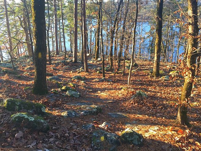
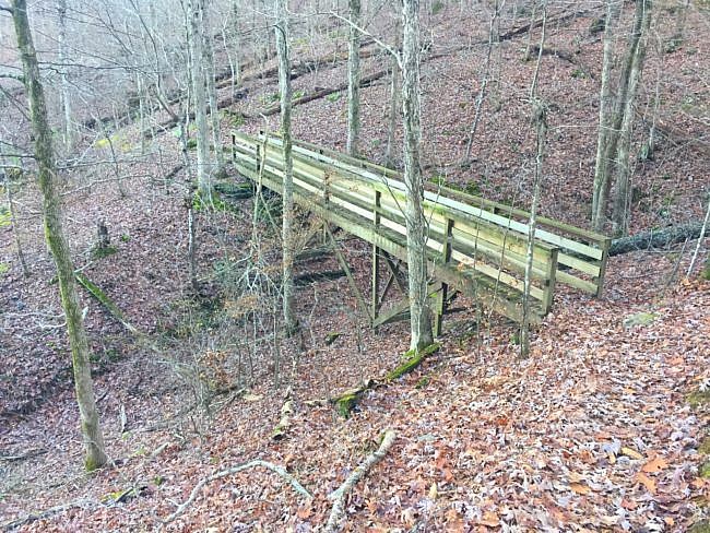
I tried trail running the Caddo Bend Trail once. That was enough for me. I am not a trail runner, and I don’t advise trying it on this trail. There are so many rocks and roots that I was constantly watching my footing, more so than on a typical trail.
I also ran with my dog, Caddie. Trying to keep my balance on the unsure footing and hold the leash was just too much.
By the way, this is an awesome place to kayak. The geology of the lake is extremely interesting. The state park offers geological guided tours via party barge.
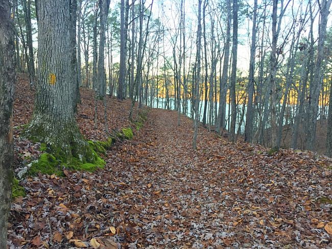
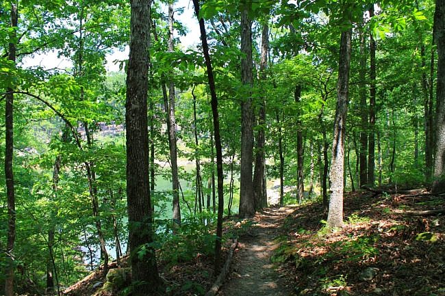
These photos are from my December 2018 hike except for the designated ones that Mike Newman took in June 2016.
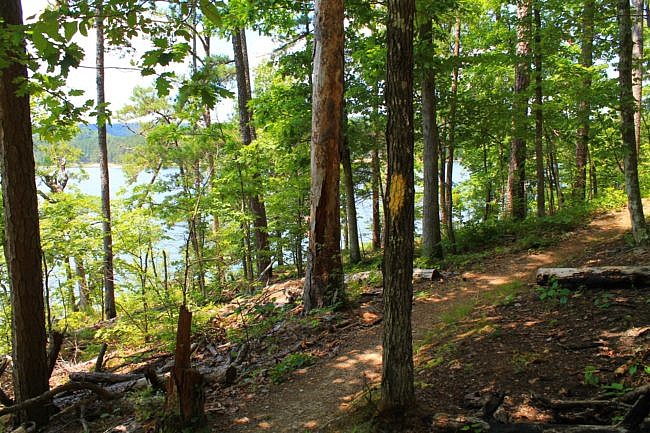
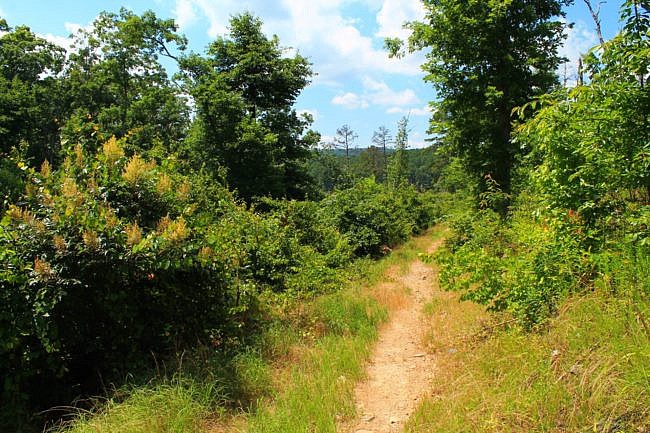
Photo Gallery
Click below for full-screen photo gallery.
Map
Lake Ouachita State Park: Caddo Bend Trail | |
|---|---|
| Location | Lake Ouachita State Park, Garland County, near Hot Springs. |
| Hike Length/Type | 3.8 mi. loop. Yellow blazes. |
| Difficulty | Moderate (3 of 5). |
| Other Permitted Usage | Pets on a leash. |
| Gpx file by Mike | Link |
| Date Hiked | December 9, 2018 (and earlier). |
| Directions | CLICK - Google Maps Directions to Caddo Bend Trailhead |
| Official Info | (501) 767-9366 Website Park Brochure (pdf) |
[A version of this post was originally published on October 27, 2016 in the blog “Right Kind of Lost.”]


