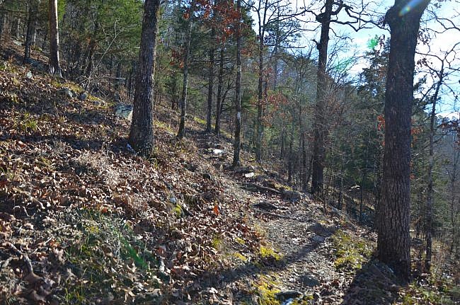
The Charlton Trail (Garland County near Hot Springs in the Ouachita National Forest) is a great mid-length trail with gorgeous wooded views. It is 4.1 miles long (or 8.2 miles for out-and-back hike).
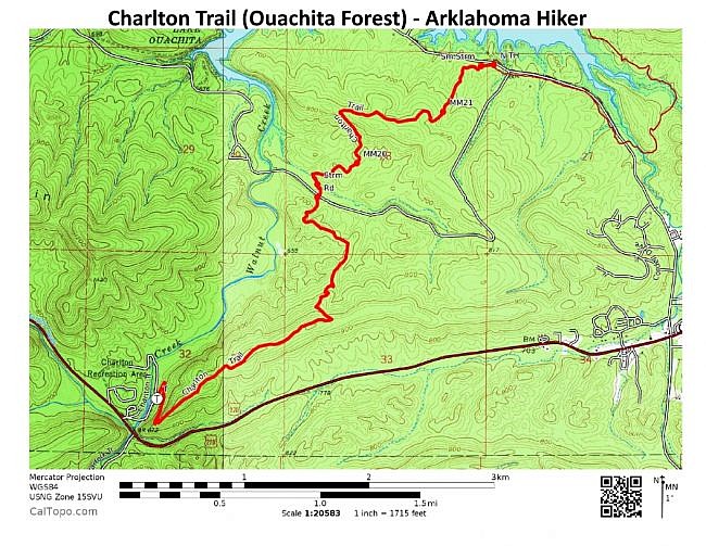
The trail starts at the Charlton Recreation Area on Highway 270 and heads to the northeast to Crystal Springs Recreation Area on Lake Ouachita.
There are some steep spots on the Charlton Trail that will get your heart pumping, but most of the trail is not difficult.
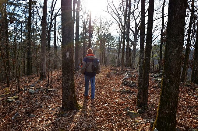
Getting to the Trail
There is a trailhead at the Charlton Recreation Area (Charlton Campground) and another at Crystal Springs Recreation Area on Lake Ouachita.
To get to Charlton Recreation Area from Hot Springs, take Highway 270 heading west. It is about 15 miles from Hot Springs.
If the campground is open, just park inside. (There may be a day-use fee.) The trailhead is in the back near the amphitheater.
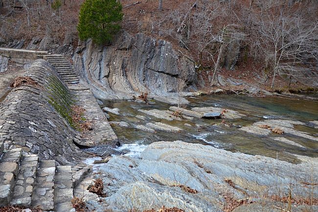
After you cross the low-water bridge, make a left and walk on the road next to the swimming area. When you get to the dam, the trailhead is on your right.
During the off season, you can park outside the gate and walk to the trail.
The trailhead at Crystal Springs Recreation Area is at a pavilion across from the first campsite you pass as you come into the park.
Hiking the Charlton Trail
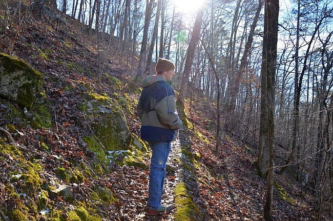
If you begin your hike at Charlton Recreation Area, the trail is fairly steep right off the bat as you climb up to a ridge. The forest service rates this portion as the most difficult, but fortunately it is a short climb.
This part is quite scenic and has some nice views of Walnut Creek below.
Once you get up on the ridge, the views of the mountains through the trees (leaf-off season is best) are very nice.
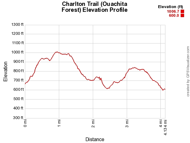
You will reach the high point of the hike at around .8 miles. You are about 330 feet higher than at the start.
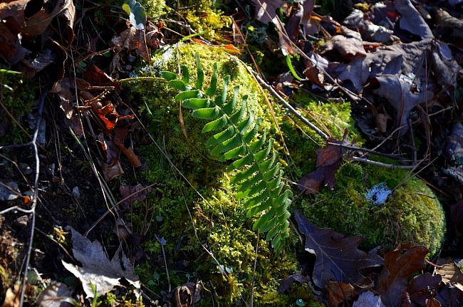
From here, the trail stays fairly level for about a half-mile. Then it makes its descent down toward Forest Road 47.
A storm came through a while back and downed many trees. The forest service logged the fallen trees, and this part of the trail is now a beautiful area of open woods.
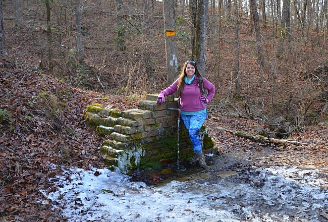
At about 2.4 miles, the trail crosses Forest Road 47 at Pipe Springs. (If you don’t want to shuttle or hike 8.2 miles in one day, you can hike an out-and-back from one of the trailheads to Pipe Springs.)
Do not drink the water at Pipe Springs unless you filter or treat it just like you would a stream. It is not potable and could make you sick.
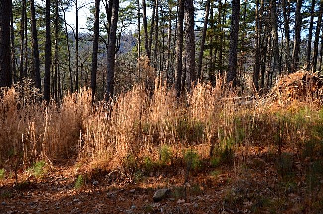
The rest of the trail to Crystal Springs overlaps with part of the Lake Ouachita Vista Trail (LOViT). The LOViT is a 38-mile hiking trail on the south side of Lake Ouachita.
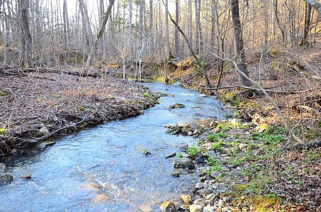
After you cross the road, the trail is level for a short ways and then crosses a small creek. When I hiked the trail after rain in January 2017, I had some trouble making a completely dry crossing.
Following the creek crossing, the trail climbs another steep hill before leveling out. You will be climbing up about 230 feet, not as much as at the beginning.
Like with the last hill, once you get to the ridge, it is nice open woods with enjoyable views.
The last half-mile stretch is a descent toward the trailhead at Crystal Springs Recreation Area.
Final Notes
The Charlton Trail is a great day hike. You can add parts of the LOViT to your hike for more possibilities. It is one of my go-to hikes when I don’t have a lot time or don’t want to travel far from the Hot Springs area.
When I was last there in early 2017, the trail was in good condition and easy to follow. There are white blazes.
The elevation change is about 400 feet. The cumulative elevation gain from Charlton Recreation Area to Crystal Springs is about 750 feet.
I rate the trail difficulty as moderate (3 of 5).
The Charlton Trail is also open to mountain biking.
These photos are from my January 8, 2017 hike.
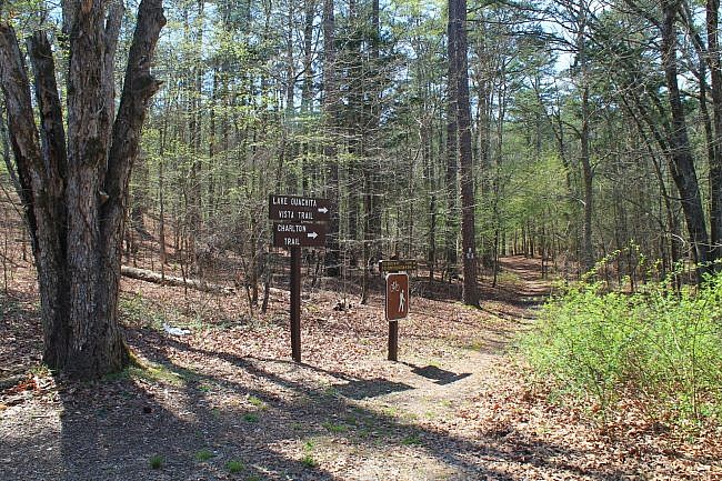
Photo Gallery
Click below for full-screen photo gallery.
Map
Charlton Trail (Ouachita Forest) | |
|---|---|
| Location | Charlton Recreation Area, Garland County (near Hot Springs), Arkansas |
| Hike Length/Type | 4.1 miles each way. (8.2 miles out and back). White blazes. |
| Difficulty | Moderate (3 of 5) |
| Other Permitted Usage | Mountain bikes. |
| Gpx file by Mike | Link |
| Date Hiked | January 8, 2017 |
| Directions | Google Maps Directions to Charlton Recreation Area |
| Official Info | 870-867-2101 (Caddo-Womble Ranger District) USFS Website LOViT Website USFS Trail Map (pdf) |
[A version of this post was originally published on January 18, 2017 in the blog “Right Kind of Lost.”]
Last revised: 8-15-2021.


2 replies on “Charlton Trail (Ouachita Forest) – 8 mi (o&b)”
Excellent trail report! Thank you for sharing. Love the Ouachitas!
Nice photo gallery and report. Love those winter views.