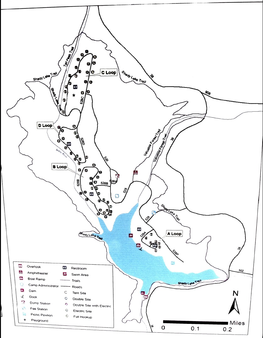
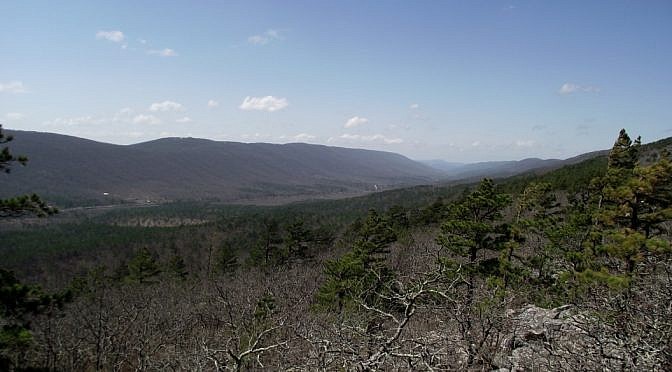
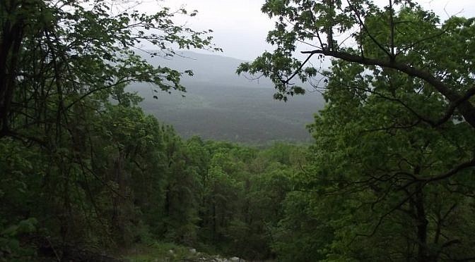
As I mentioned here, last weekend I went to the Tall Peak Trail which starts at Shady Lake, in the Ouachita National Forest, southeast of Mena, Arkansas. Due to getting a late start, I only did about half of the trail that day. These are some photos I took that day. Most are of the […]
Category: Southwest Arkansas
Posts in Southwest Arkansas including including Queen Wilhelmina State Park and western Ouachita National Forest trails. Also see Southwest Arkansas Trails Page.
This past weekend I hiked part of the Tall Peak Trail in the Ouachita National Forest, Polk County, Arkansas. The trailhead is at the Shady Lake Recreation Area campground, near the Caney Creek Wilderness Area, about an hour’s drive southeast of Mena. (I started too late in the day to finish the trail.) The campground […]
Yesterday, I wanted to take some snow pictures so I headed toward Queen Wilhelmina State Park. It is up on Rich Mountain, near Mena, Arkansas. It turned out that there was so much snow and ice at the park that the trails were closed, but I was able to get some pictures on the nearby […]
The Black Fork Mountain Trail, in western Arkansas near Mena, is a cool but challenging hike. It’s about 5.6 miles each direction, making it an 11.2 mile out-and-back hike. And it’s a pretty good climb up Black Fork Mountain, one of the highest mountains in Arkansas. (Check out Mara’s full trail review here.) Most of […]
Last Saturday I had an eventful hike on the Ouachita Trail. I was on Section 4, just east of Highway 71 on East Fourche Mountain.Some hot hiking, lots of thunder and lightning, and an hour-long thunder shower. And I saw a bear. One of my goals is to day hike the entire Ouachita Trail in […]
Today, my friend David and I hiked what I have labeled segments 05-C and 05-D of the Ouachita Trail. This is a 5-mile segment of the trail that starts just a few miles east of Big Brushy Campground and extends across Blowout Mountain and the Blowout Mountain Scenic Area. It begins at Forest Road 33 […]