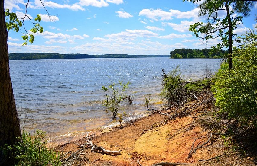
The Island Trail at DeGray Lake Resort State Park (near Caddo Valley and Arkadelphia) is a great 1-mile hiking trail. It is an easy and scenic walk with some great views of the lake and little elevation change.
Posts in Southwest Arkansas including including Queen Wilhelmina State Park and western Ouachita National Forest trails. Also see Southwest Arkansas Trails Page.
The Island Trail at DeGray Lake Resort State Park (near Caddo Valley and Arkadelphia) is a great 1-mile hiking trail. It is an easy and scenic walk with some great views of the lake and little elevation change.
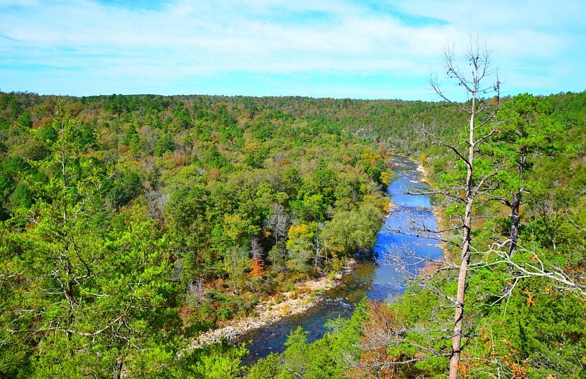
The Harris Creek Trail at Cossatot River State Park-Natural Area (Howard and Polk Counties) is a great intermediate level 3.2-mile loop trail with some very nice views. There are some steep parts, but they do not last long. The trail is also dotted with benches so you can rest after a steep climb.
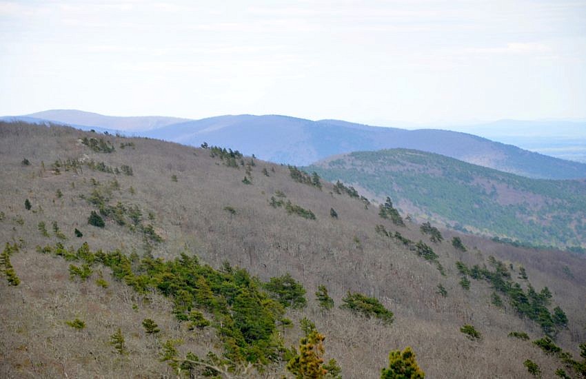
This is a 2.5-mile stretch of the Ouachita Trail that goes from Queen Wilhelmina State Park heading east to Highway 88 (Talimena Scenic Highway). It is the first part of Section 3 (following Tim Ernst), and is all on Rich Mountain in Polk County, near Mena. It is a pretty enjoyable stretch mostly running along […]
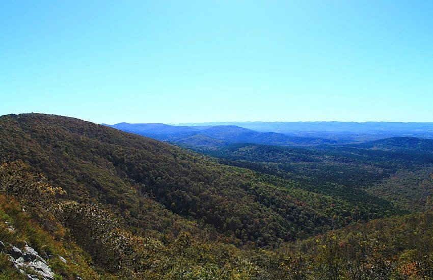
Black Fork Mountain Trail (Polk County, northwest of Mena) is a strenuous 11 mile out-and-back hike (5.6 miles each way) on Black Fork Mountain. It is in the Ouachita National Forest in southwest Arkansas, just north of Queen Wilhelmina State Park on Rich Mountain. The trail offers spectacular views, unique forests, and historic places. Black […]
Last November, I did the Earthquake Ridge and Southern Loop Trails in the Ouachita National Forest near Mena (Polk County). These two together make an enjoyable 3-mile hike through a pretty area on Rich Mountain at the east end of the Talimena Scenic Drive. These are photos I took on my November 10 hike. There […]
Here are some more pics from my April 2016 Ouachita Trail hike from Eagle Gap to Mile 63. (The trail profile is here.) This is from 58.5 to 63.0 in Polk County, Arkansas, near Mena.