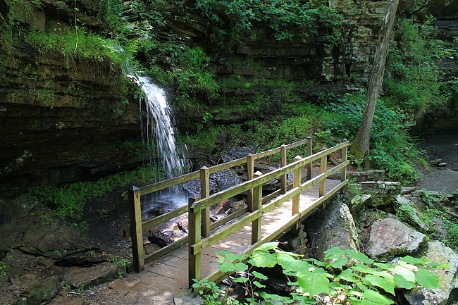
The Devil’s Den Self-Guided Trail (Devil’s Den State Park, southern Washington County, Ark.) is one of the coolest state park trails in Arkansas. The rock formations and the seasonal waterfall on this short trail are wonderful.
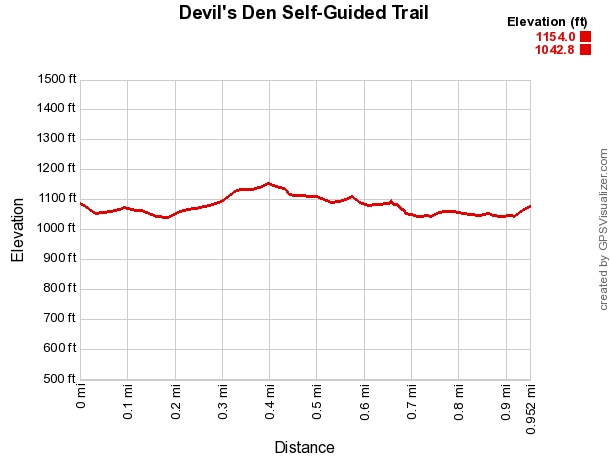
It’s not a difficult trail. It’s about 1.2 miles long, and there’s not much of an elevation change (about 100 feet).
(At present, the namesake Devil’s Den Cave is closed to the public due to white-nose syndrome.)
Getting to the Trailhead
For most people (coming from north or south), to get to Devil’s Den State Park you should take I-49 to Exit 45 (Winslow exit). Head west on Highway 74.
At about 7 miles, the highway heads into the state park.
There are two trailheads for Devil’s Den Self-Guided Trail, both with some parking. I usually start at the west trailhead behind the visitor center. (The other one, a little to the north, is by the bridge over Lee Creek.)
The Hike
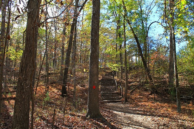
From the west trailhead, you go down some stone steps to the trail. At about .1, you come to the junction with the spur from the north trailhead. Stay right.
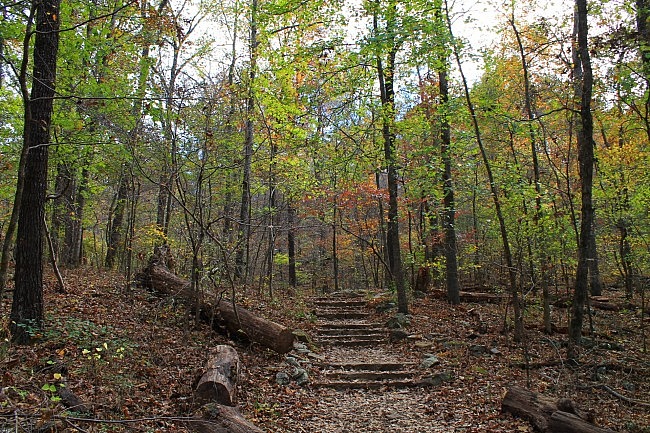
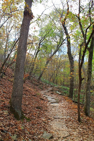
This is a well-traveled trail that is easy to follow. There are red blazes. It was in very good condition when I was last there.
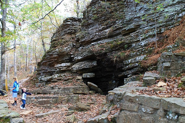
The coolest thing on this trail (besides the waterfall, when flowing) are all the great rock formations. One of these is a little past .1 where there is rock formation shaped like a small theater.
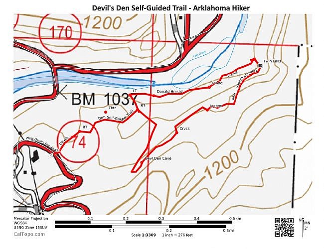
At around .2, you get to the main loop. Stay on the right (taking the loop counterclockwise).
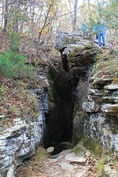
Shortly after this, the trail makes the climb up to the area of the Devil’s Den Cave. (The cave is presently closed to prevent the spread of the White-Nose Syndrome fungus among bats.)
Another really cool area is just ahead on the trail. At around .4, there are large crack openings in the ground, referred to as the “crevices.”
Note of caution: There are some large drop-offs at the crevices and other places. Be careful in these areas. A fall could result in serious injury.
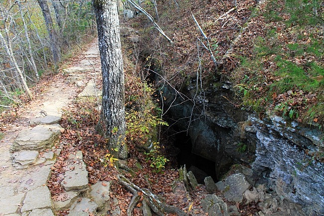
The Devil’s Ice Box, at around .5, is another highlight. This cave entrance gets its name from the cool air you can feel here, especially during the warmer months. (Exploring into the cave is not permitted at present, but it is a great spot to stand and take in the cool air.)
Twin Falls
Twin Falls is at around .65. Most of the year it doesn’t have any significant water flowing, but when it does it is beautiful.
There are some really cool eroded rock bluffs on the trail leading up to the falls.
The main flow is on the south end (with an adjacent wooden bridge), but the north one which you will come to first is also really cool.
Even when the water is not flowing, this is probably the most scenic area of the trail as there are some really nice wide open views in the waterfall area.
After the falls, the trail makes switchbacks down hill and then curves southwest (left) making its way back toward the trailhead. This part of the trail follows along Lee Creek which is also very pretty.
At around .9, there is a spot where the trail makes a turn to the left. You will probably see blazes turning left and continuing straight at this point. I recommend turning left here to finish the loop and get back to the initial spur. (If you go continue straight, you end up having to walk along the highway a little it and then come out by the north trailhead.
Shortly, you will be back where the initial spur connects to the loop. Turn right here to head back to the trailhead.
Final Notes
Most of these photos are from a very nice hike I had on November 5, 2016. There was still a good amount of fall foliage left on the trees. Twin Falls was pretty dry at that point, so I have also included here some pics of the waterfall I took on July 10, 2016.
When I last did the trail, I had virtually no AT&T cell signal the entire time.
While at Devil’s Den State Park, you might want to also check out the Yellow Rock Trail.
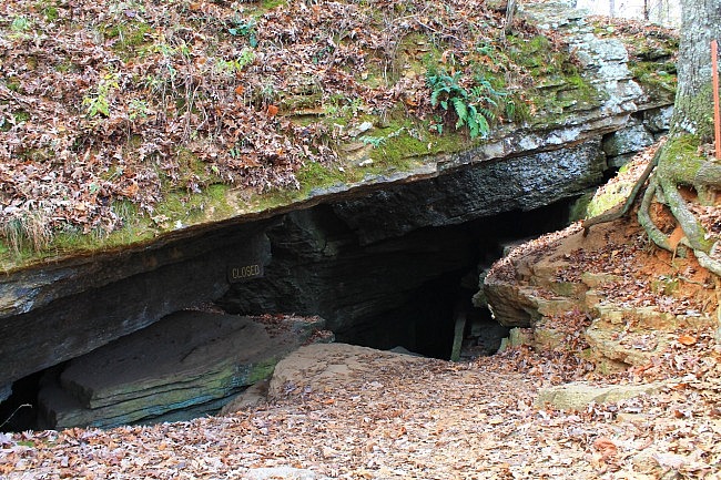
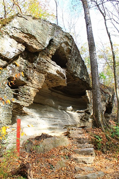
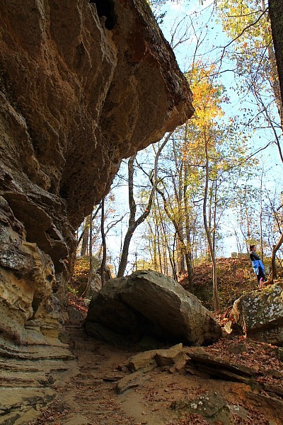
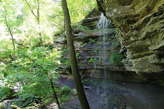
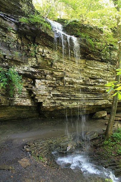
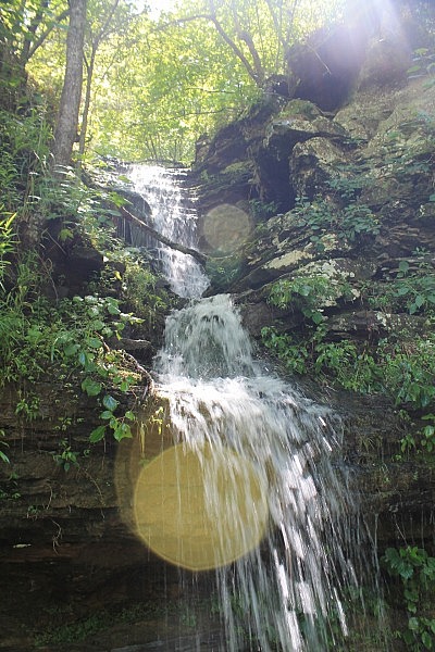
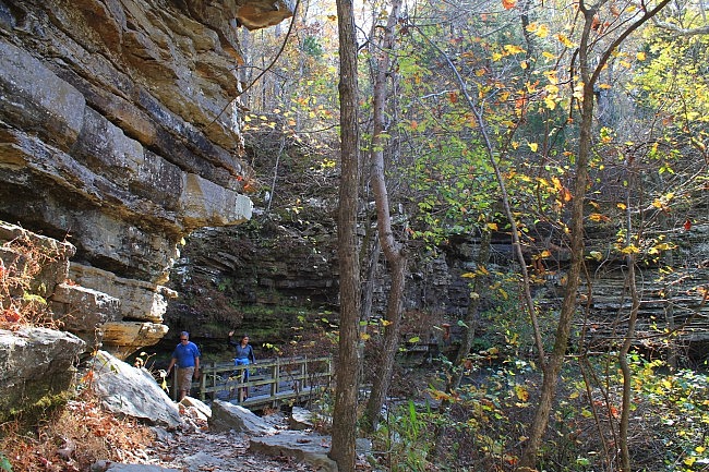
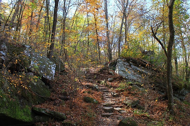
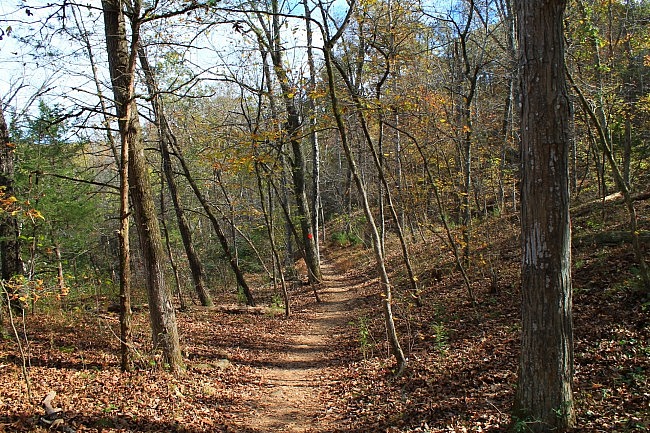
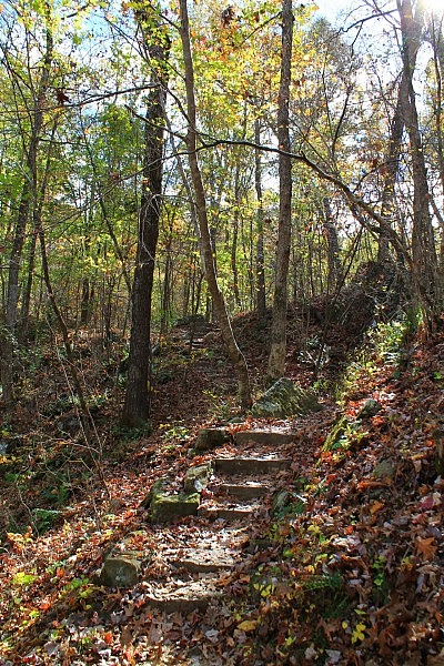
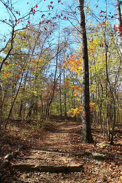
Photo Gallery
Click below for full-screen photo gallery.
Map
Devil's Den Self-Guided Trail | |
|---|---|
| Location | Devil's Den State Park, Washington County, Arkansas |
| Length/Type | 1.2 mile hike; semi-loop |
| Difficulty | Mildly challenging (2 of 5) |
| Gpx file by Mike | Link |
| Date Hiked | February 8, 2017 (and earlier) |
| Directions. | Google Maps Directions to West Trailhead |
| Official Info (Links) | (479) 761-3325 Website Trail Map Flyer (pdf) |
[Last revised: 12-1-2019]


2 replies on “Devil’s Den Self-Guided Trail + Twin Falls – 1 mi”
Is devil den park dog friendly?
Pets on a leash are permitted on the trails. For additional info, check with the park visitor center.