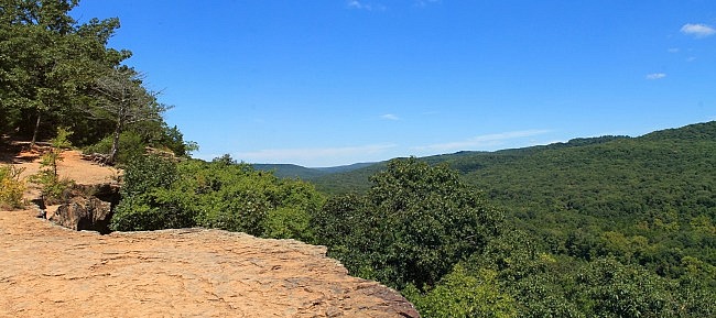
Yellow Rock Trail at Devil’s Den State Park (southern Washington County, Arkansas) is one of my favorite trails. This 3.1-mile semi-loop hike has beautiful views and wonderfully interesting and scenic rocks formations.
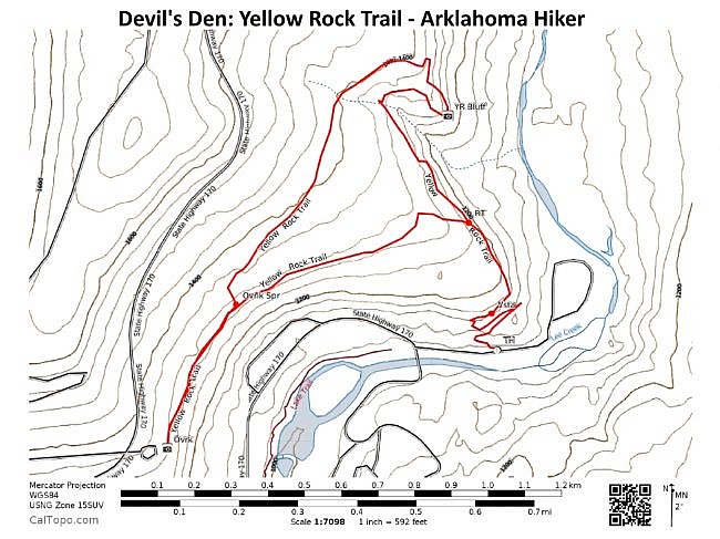
The trail is a semi-loop with two major spurs. The opening half-mile spur connects then to a largely triangular-shaped loop.
At the west end of the loop, there is a .3-mile spur over to the CCC Overlook. Including travelling both spurs, the hike length is 3.1 miles.
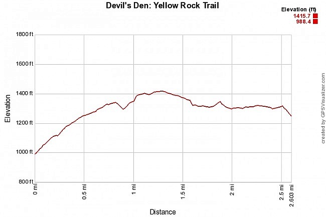
It’s a moderately challenging hike with some significant climbing and an elevation change of about 400 feet.
For my money, the highlights of the hike are: (1) the Yellow Rock bluff; (2) the CCC Overlook; and (3) the cool rock formations in the initial spur.
Getting There
For most people (coming from north or south), to get to Devil’s Den State Park, take I-49 to Exit 45 (Winslow exit). Head west on Highway 74. At about 7 miles, the highway heads into the park.
Continue through the park until you cross the bridge over Lee Creek. Take the first right turn after the bridge.
The marked trailhead is about a tenth-mile on this road. There is parking on the right.
The Hike
The trailhead is almost right next to a parking area.
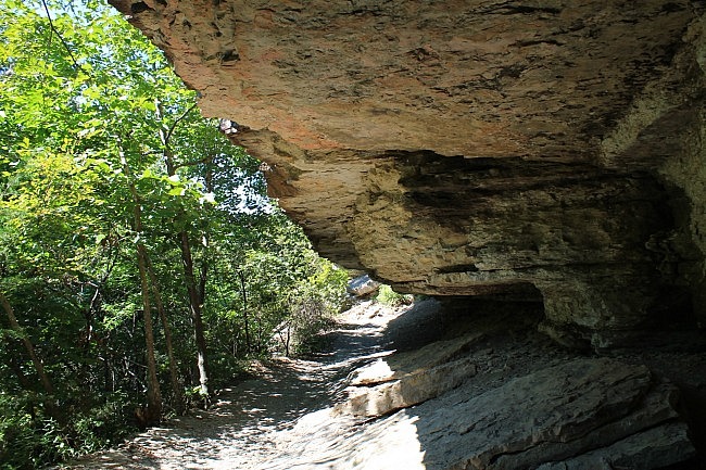
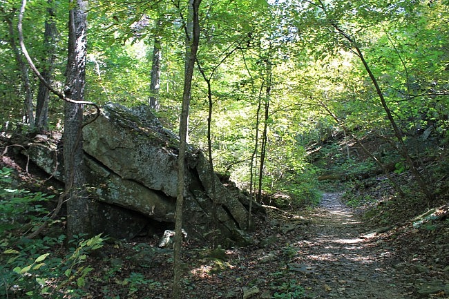
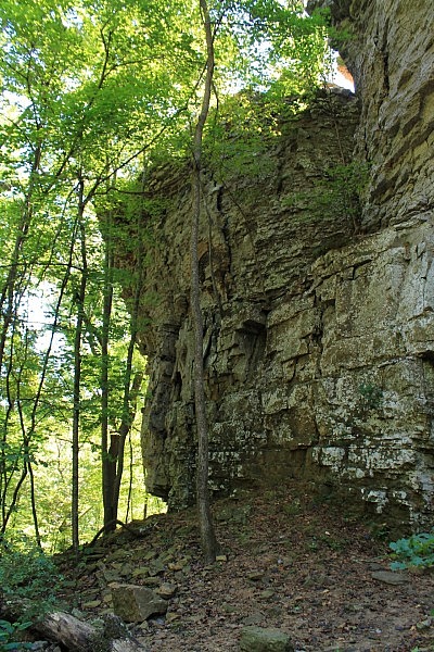
The first .4 miles of the trail is my second favorite part of the hike. In the first area, there are some cool large boulders, apparently which had fallen from the bluffs up above.
In one stretch, there is a giant rock slab on the right. Then the trail heads over to the base of a large rocky bluff where the trail hugs a wall of rock with interesting protruding rocks.
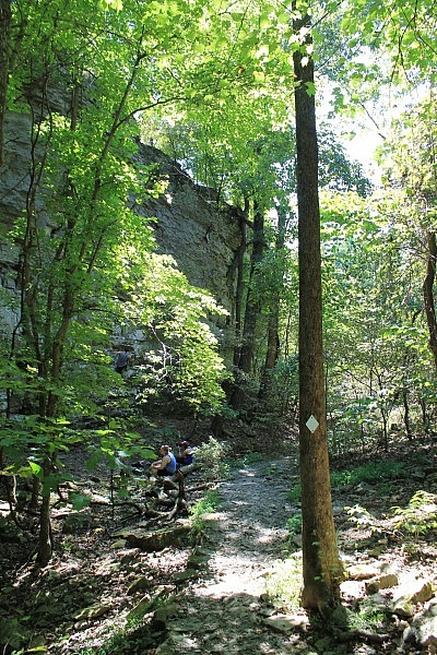
The trail then turns into a fairly steep uphill switchback area. Near the top of the switchback area are a couple of very nice vista areas.
Note of caution: As always, be very careful around bluffs because of the risk of a dangerous or fatal fall. There are no rails on this trail.
At about .5, you arrive at the loop. (Sometimes there is a sign here, but there was not on my last hike.) I usually take a right here to take the loop counterclockwise. This is also the direction toward the Yellow Rock bluff. (Some people just hike to the bluff and then back.)
At about .8, there is a large scenic stream bed. Of course, it most attractive during wet times with water flowing, but this area with its cool rocks is an enjoyable sight any time of year.
At about .9, the trail reaches the Yellow Rock bluff. (There’s actually a spot a little ways earlier where you can see the bluff from a distance.) This is a wonderful and large bluff overlook. There are great views of the Ozark Mountains and Lee Creek Valley.
If you have children with you, be sure they do not get to close to the edge of the bluff. Again, there are no railings here. A fall would likely result in serious injury or death.
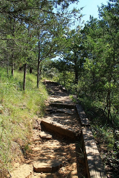
After the bluff, the trail continues on heading uphill. At around 1 mile, there is a cool stone staircase. In this area, the trail turns and starts heading west for a little while and then turns heads mostly south.
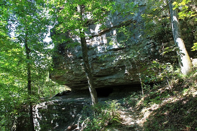
There is another crossing of that stream at around 1.3 miles (same stream as we crossed earlier below).
At around 1.7, after descending a set of stone stairs, the trails hits another fork. (No sign when I was last there.) Here, you would turn left to continue the loop or turn right to go to the CCC Overlook. I recommend taking the .3-mile spur to the overlook. There are several wooden footbridges along this spur.
The CCC Overlook is a cool spot. (It is also accessible via Highway 170.) The pavilion here was built by the Civilian Conservation Corps in the 1930s. It was renovated in 2000. There also is a cool east-facing vista here facing the park.
After seeing the overlook, turn around and head back down the spur until you reach the loop again. Turn right to continue on the loop.
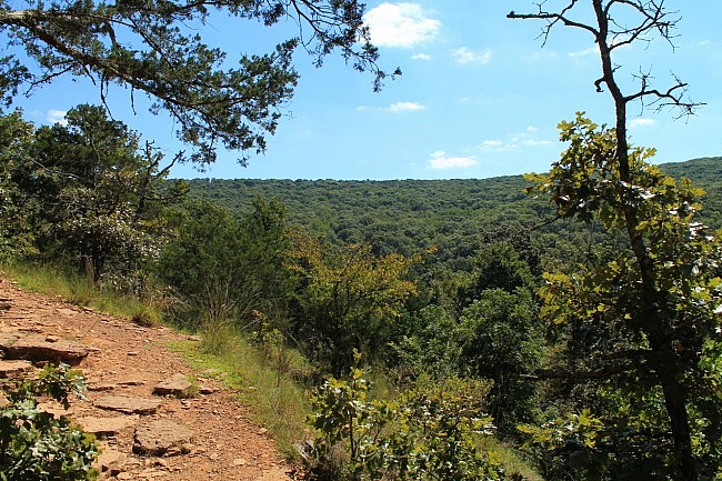
From here, the trail heads northeast back toward the initial fork. This stretch largely follows a ridge line. During leaf-off there are a number of views through this area, but there are not many when the leaves are out.
When you get back to the fork, turn right to head down the mountain and return to the trailhead.
Final Notes
I had about 60% AT&T cell coverage. The coverage was all in the higher elevation areas.
The trail was in very good condition as usual. This is a frequently travelled trail with white blazes.
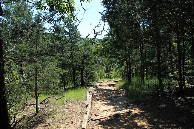
These photos are all from my recent hikes on June 25 and September 3, 2016.
While at Devil’s Den State Park, you should also check out the Devil’s Den Self-Guided Trail (with Twin Falls).
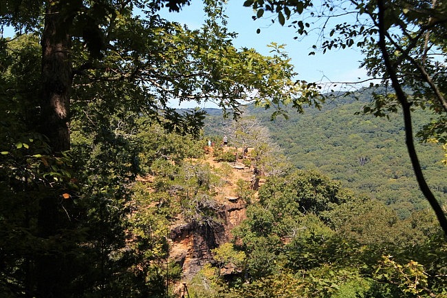
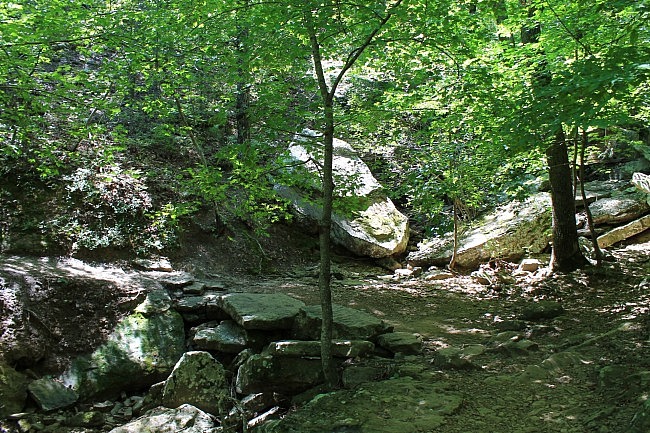
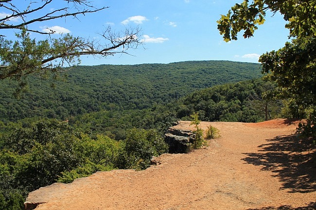
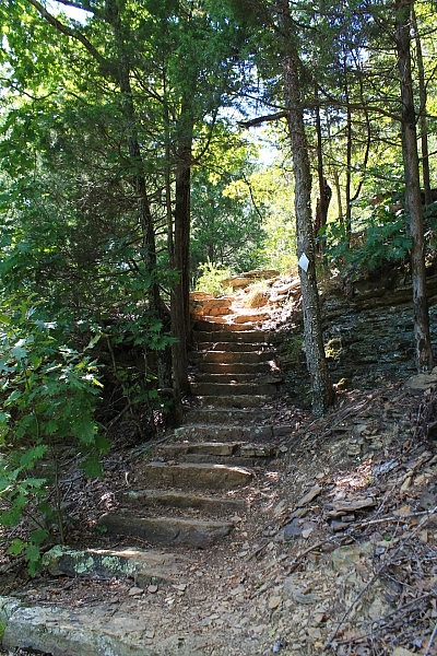
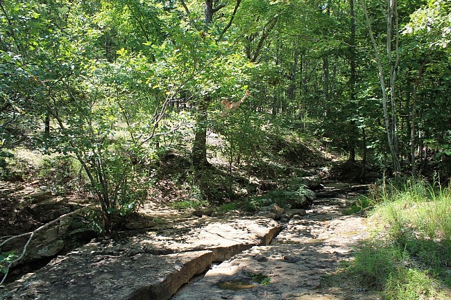
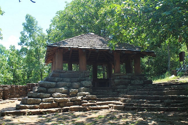
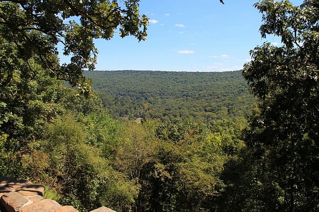
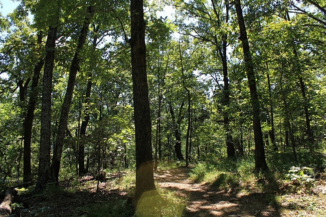
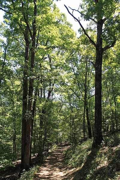
Photo Gallery
Click below for full-screen photo gallery.
Map
Devil's Den: Yellow Rock Trail | |
|---|---|
| Location | Devil's Den State Park, Washington County, Arkansas |
| Length/Type | 3.1 mile hike; semi-loop |
| Difficulty | Moderate (3 of 5) |
| Gpx file by Mike | Link |
| Date Hiked | June 25 and September 3, 2016 (and earlier) |
| Directions | Google Maps Directions to Yellow Rock Trailhead |
| Official Info (Links) | (479) 761-3325 Website Trail Map Flyer (pdf) |
[Last updated: 10-28-2019]


