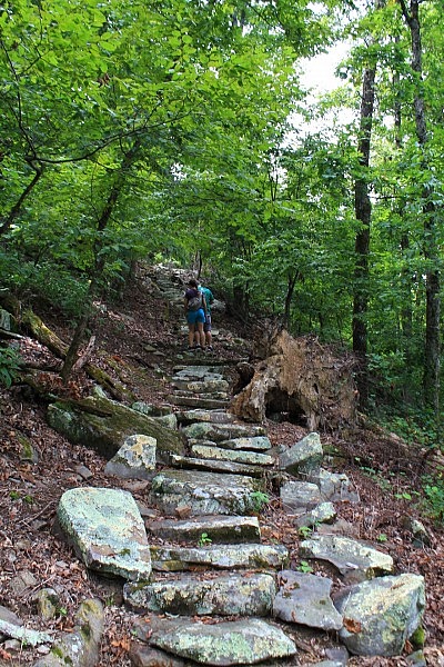
Mount Nebo State Park (Yell County, near Dardanelle and Russellville) is a beautiful place. This loop covers two of the trails on the mountain. It’s a short hike, but it’s vigorous and pretty cool.
There are 2 main levels on Mount Nebo, the bench level and the rim level at the top. Nebo Steps and Nebo Springs are 2 of the trails that connect the levels.
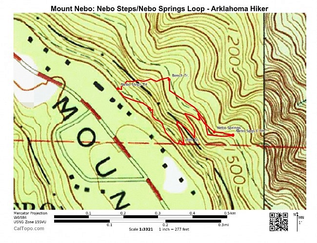
This .7-mile hike takes Nebo Steps Trail down to the Bench Road Trail and then takes the Nebo Springs Trail back up. Then the Rim Trail takes you back to the start.
Getting to Nebo Steps/Nebo Springs Trails
The easiest way to there is to start at the Mount Nebo State Park visitor center.
To get to the park from Russellville, head south toward Dardanelle down Highway 27 (Arkansas Avenue).
After crossing the river into Dardanelle, go another mile and turn right onto Highway 22. Then turn left onto Highway 155. (Follow the signs.) Highway 155 goes all the way to the state park.
After you are in the park and reach the top of the hill, turn right to head to the visitor center.
You will walk briefly on the Rim Trail to get to Nebo Springs Trail. There is a connection to the Rim Trail down behind the visitor center. Turn right on the Rim Trail (yellow blazes). After about 100 feet, you will see the Nebo Steps Trail on your left.
(By the way, the Rim Trail is an awesome amazing trail. It’s one of my absolute favorites.)
The Hike
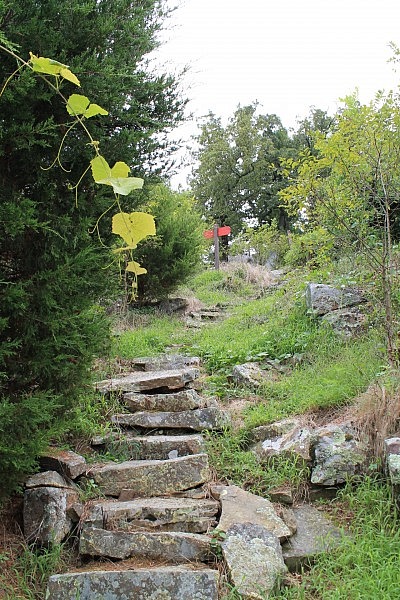
The Nebo Steps Trail is just .1 miles long, but it’s a cool walk. It’s basically a steep staircase made of stones. It appears to be one of the trails constructed in the 1930’s by the Civilian Conservation Corps.
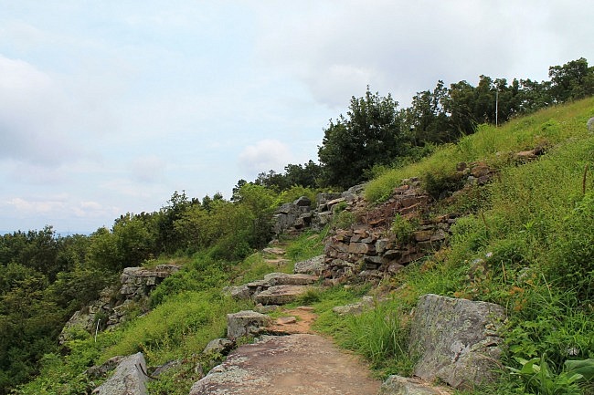
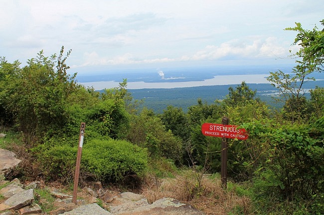
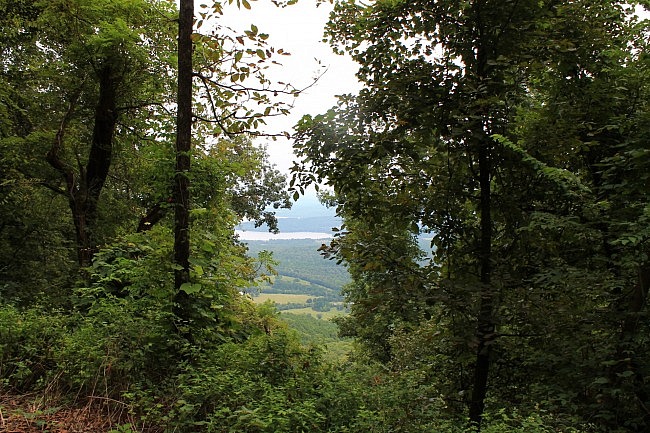
The trail does not have many views during leaf-on except for some nice ones toward the top.
At the bottom of Nebo Steps, the trail joins the Bench Road Trail (blue blazes). Turn right. It’s about a .2-mile walk over to the Nebo Springs Trail.
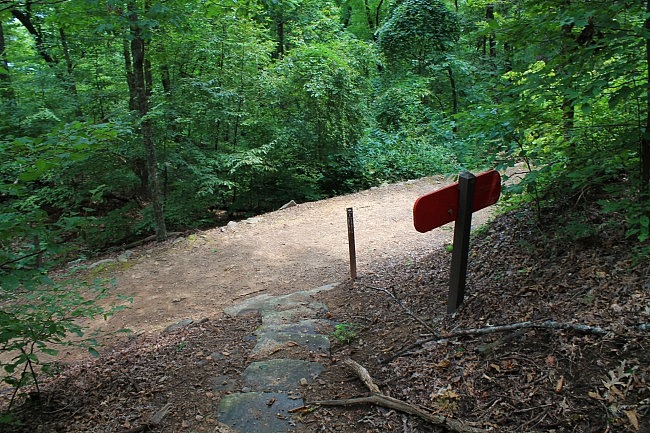
The Bench Road Trail is a pretty easy and fairly level wooded trail that’s largely a dirt road.
Watch for the Nebo Springs Trail on your left. It will also show up on your right, but be sure to do the short section of the trail on the left that goes down to Nebo Springs.
According to the information sign, this iron spring was the center of the town of Mount Nebo in the late 1800’s. The stone wall behind it was built during that time. There is a nice vista in this area.
After finishing this part, continue on Nebo Springs Trail crossing the Bench Road Trail and continue on back up toward the Rim Trail.
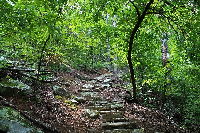
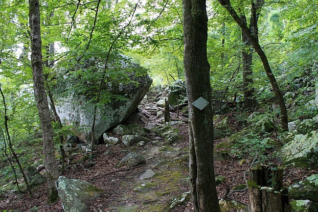
The Nebo Springs Trail is more of a traditional trail. The lower half is a dirt walking path with switchbacks. There is a more level area in the middle with a couple of huge cool boulders. Nebo Springs Trail also has some stone staircases toward the top part of the trail.
When you reach the Rim Trail again, make a turn to the right. It’s about another .2 miles back to the visitor center.
Final Notes
The net elevation change on this hike is about 250 feet. That’s about how much higher the rim level is above the bench level.
I had good AT&T cell coverage the entire time I did my hike. The trails were in good condition and pretty easy to follow.
These photos are all from my August 22, 2015 hike. It started to rain right as I was finishing up the hike.
Check out more pics from that hike here.
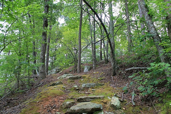
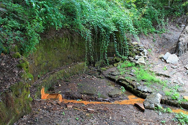
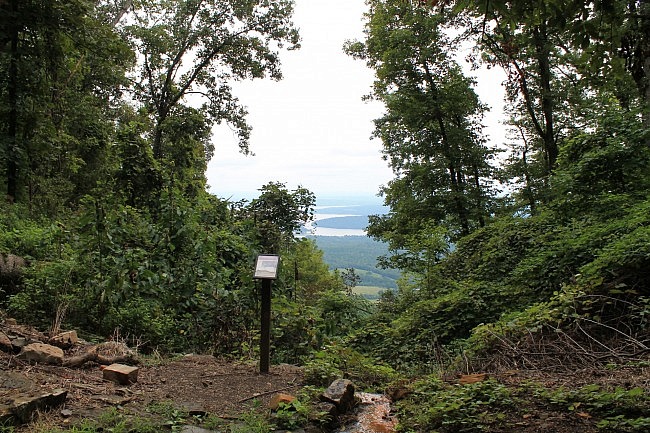
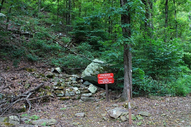
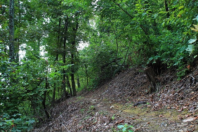
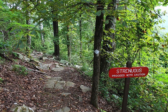
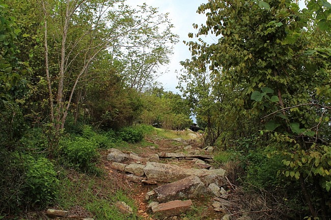
Photo Gallery
Click below for full-screen photo gallery of these pics and more from my August 22, 2015 hike.
Map
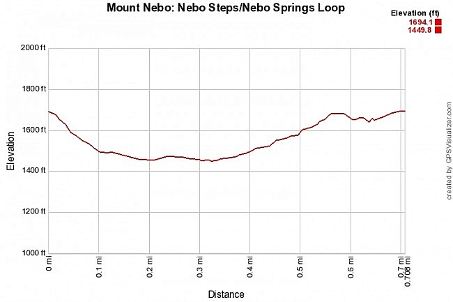
Mount Nebo: Nebo Steps/Nebo Springs Loop | |
|---|---|
| Location | Yell County, Arkansas (near Dardanelle and Russellville) |
| Hike Length/Type | .7 mile loop (including both trails and connections via Rim and Bench trails). White blazes. |
| Difficulty | Moderate (3 of 5) |
| Other Permitted Usage | Pets on a leash. |
| Gpx file by Mike | Link |
| Date Hiked | August 22, 2015 (and earlier) |
| Directions | Google Maps Directions to Visitor Center |
| Official Info | (479) 229-3655 Website Park Trail Map (pdf) |
[Last revised: 8-29-2021.]


