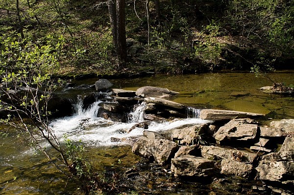
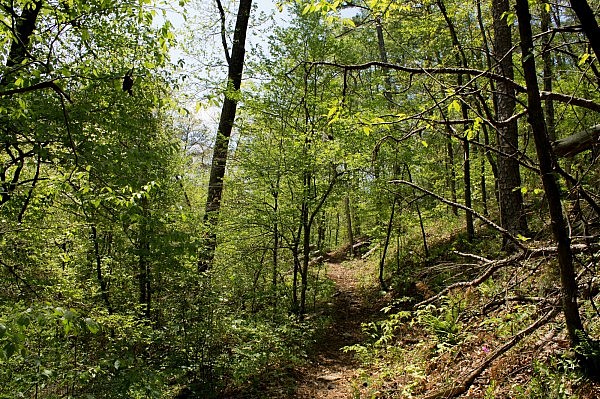
The western part of the Caney Creek Trail is a wonderfully scenic hike through the Ouachita National Forests’s Caney Creek Wilderness. It is a hike of 11.4 miles (5.7 miles each way) and has 22 wet crossings (11 miles each way), but it is well worth the effort.
The Caney Creek Trail runs 9 miles from west to east, mostly following Caney Creek. You can use of the eastern part of the trail to make a 9.4-mile loop hike with the Buckeye Trail. (See this post.)
This hike is an out-and-back one that just covers the western 5.7 miles of the Caney Creek Trail. It goes from the west trailhead to the Buckeye Trail junction.
Directions to Caney Creek Trail West Trailhead
If you are coming from Highway 71, get on state highway 246 and head east (the only direction) for about 11 miles.
Around the community of Hartley, take Forest Road 31 on your left (to the north). There is a sign there indicating to turn for the Caney Creek Wilderness west trailhead.
Stay on FR 31 for about 10 miles. Then you take a short road off to the right for about a quarter mile that takes you to the well-marked west trailhead. (When I was there earlier this year, there was no sign pointing out this right turn, but I don’t think it’s hard to figure it out.)
There is parking at the trailhead.
Wet Crossings
As I mentioned, there are 22 wet crossings on this hike (11 each way).
Of course, if you are doing the trail in a drier time of the year, you may be able to make some of the crossings on rocks. That wasn’t an option on my hike in April.
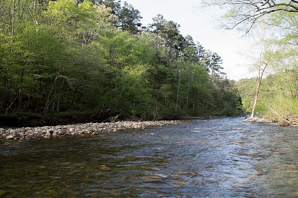
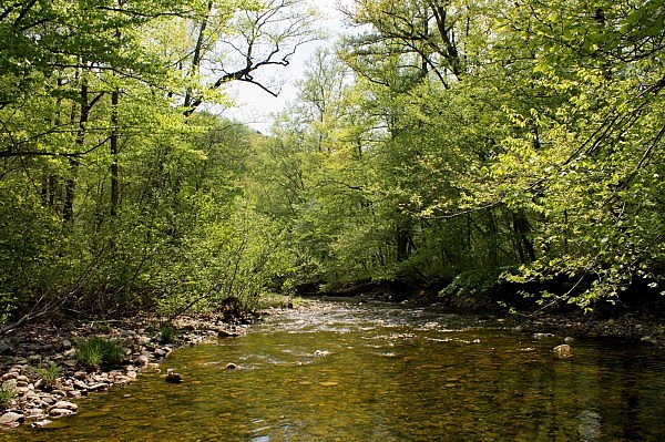
The first wet crossing is at about .6 miles when the trail crosses the Cossatot River. The Cossatot River is pretty wide, but I was able to cross it along a path was not deep.
A note of caution. Fording a stream or river can be dangerous. Don’t cross a river or stream where it is more than waist deep. See this post at Section Hiker for more water crossing safety tips.
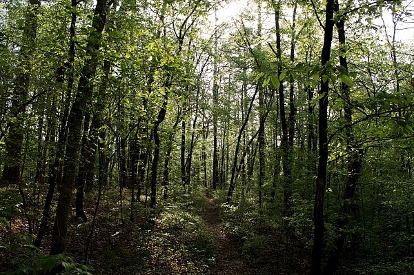
After crossing the Cossatot River, the trail goes about another mile, largely on an old road trace, and then reaches Caney Creek. From here until the Buckeye Trail junction, the trail crosses the creek 10 times.
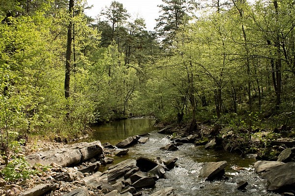
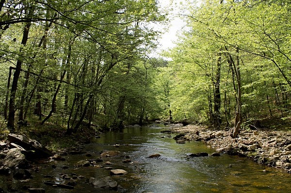
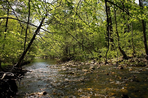
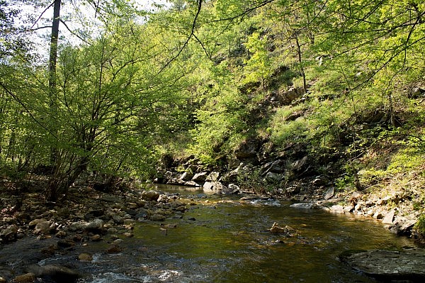
Yes, it’s a lot of wet crossings, but the areas along the creek are very scenic. When it is warm weather, as it was the afternoon of my hike getting into the 80’s, the wet crossings can be quite enjoyable.
I do recommend having decent footwear for the wet slippery rocks you will be walking on in the wet crossings. (Again, check out Section Hiker’s suggestions.) (Beach slippers do not make good water crossing shoes. Trust me.)
Hiking the Trail
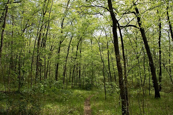
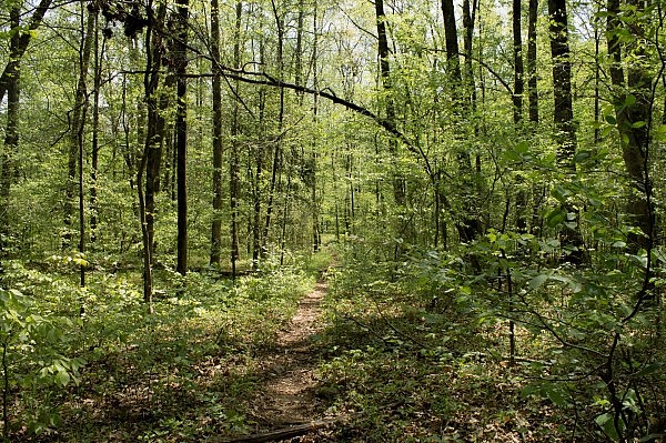
Other than its length and the wet crossings, this is not a difficult hike.
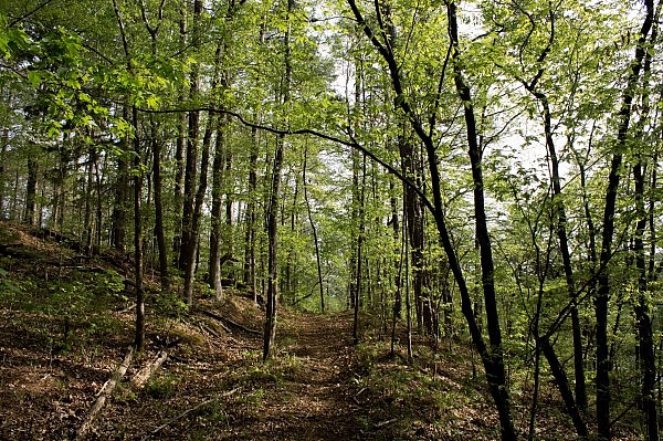
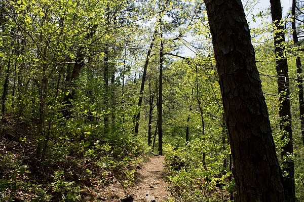
There is some up-and-downhill climbing here and there. But for the most part, the trail just makes a pretty gradual uphill climb as it follows Caney Creek upstream to the east. The net elevation change on this 5.7 miles is about 300 feet.
Since the trail is in a wilderness area, there are not supposed to be any blazes. When I was there, the trail did not have any official blazes, but I did see a few places where someone had done some yellow blazes that had not yet been removed.
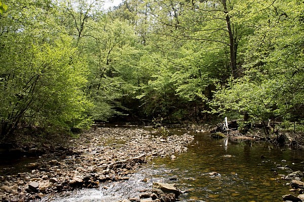
When the water is flowing well as when I had my April hike, it is a beautiful trail. The Cossatot River and Caney Creek were very scenic.
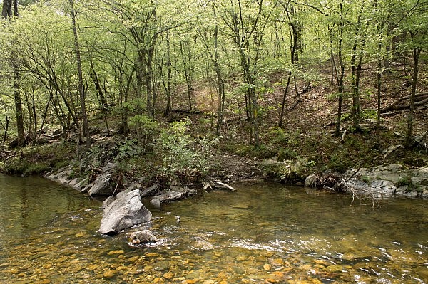
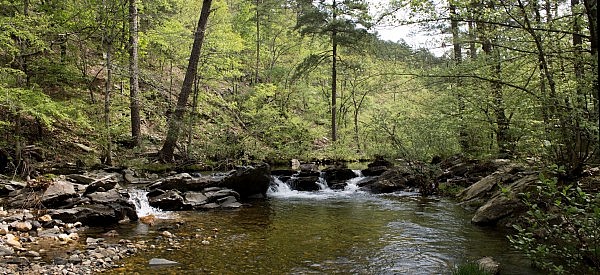
Although there are many scenic areas on the trail, I have two favorite places from my hike. One is at the expansive crossing of the Cossatot River. The other is a 3-foot-high cascade (or mini-waterfall) in Caney Creek at around 3 miles that is slightly upstream from one of the creek crossings. (It is pictured at the top of this post. Video of the cascade is here.)
Although there are (officially) no blazes or signs on this wilderness trail, the junction with the Buckeye Trail isn’t difficult to see. The fork for the Buckeye Trail is at about 5.7 miles and is marked by a cairn (pile of rocks).
Final Notes
These photos and the gps data are all from my April 26 hike.
By and large, the trail was in very good condition and was easy to follow on my hike. (It did take me a little bit to figure out where the trail continued on the east side of the Cossatot River, but not too long.)
It was a beautiful day weather-wise. It was in the 60’s in the morning and warmer in the afternoon. It was mostly cloudy that morning and was sunny later.
You may get to enjoy quite a bit of seclusion on the trail. I saw no one on the trail the Saturday I did my hike.
There is no cell coverage on this trail.
If you read Tim Ernst’s summary of the Caney Creek Trail in his “Arkansas Hiking Trails” guidebook, note that his mileage markings start at the east trailhead and go west. My mileage references are all from the west trailhead.
Map
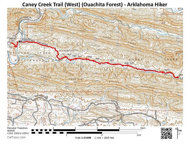
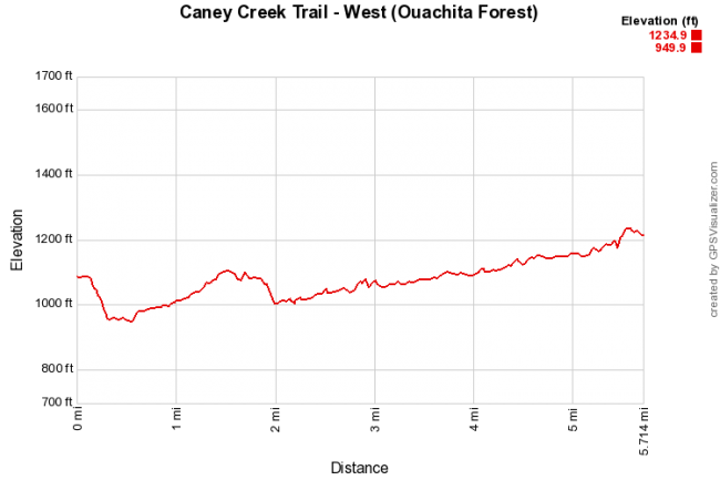
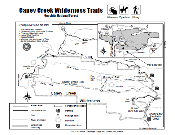
Photo Gallery
Click below for full-screen photo gallery.
Caney Creek Trail - West (Ouachita Forest)
Location Caney Creek Wilderness, Ouachita National Forest, Polk County, Arkansas Hike Length/Type 11.4 mile out-and-back hike (5.7 mile each way from west trailhead to Buckeye Trail juncture). No blazes (wilderness). Difficulty Moderate (3 of 5) Other Permitted Usage -- Gpx file by Mike Link Date Hiked April 26, 2014 Directions Approximate Google Maps Directions to West Caney Creek Trailhead area. Note: Google does not seem to know the final road to the trailhead. Official Info (479) 394-2382 (Mena/Oden Ranger Dist.) Website USFS trail map (pdf)
[Last revised: 8-22-2021.]


2 replies on “Caney Creek Trail – West (Ouachita Forest) – 11 mi (o&b)”
Great guide! Thinking about doing the Caney creek/buckeye loop by entering from the west. A bit concerned however since all trails only seems to have the eastern portion.
Mitch, thanks for the kind comments! I assume you have looked at the map? Access to the loop is much easier from the east side than the west side.