One of the cool areas at Hobbs State Park-Conservation Area (Benton County, near Rogers) is the Hidden Diversity Multi-Use Trail. This is a complex of loops and spurs designed for hikers, cyclists, and equestrians. Since it is designed for these multiples uses, it does not feature many steep parts.
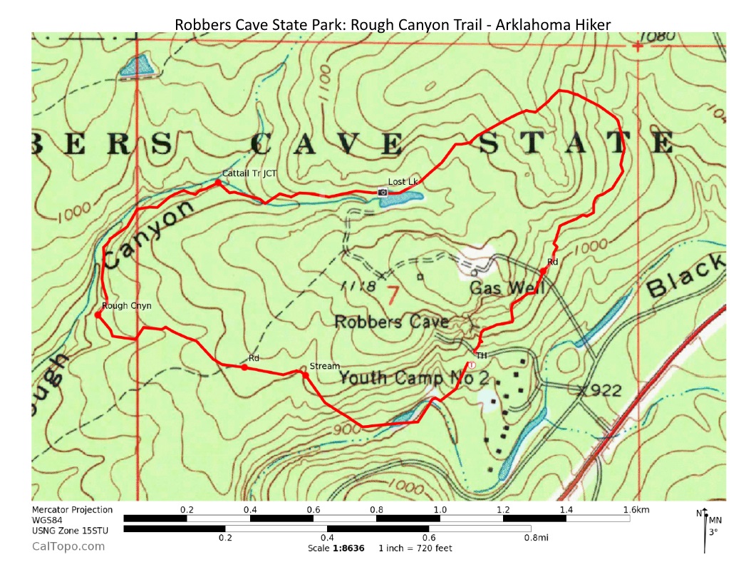
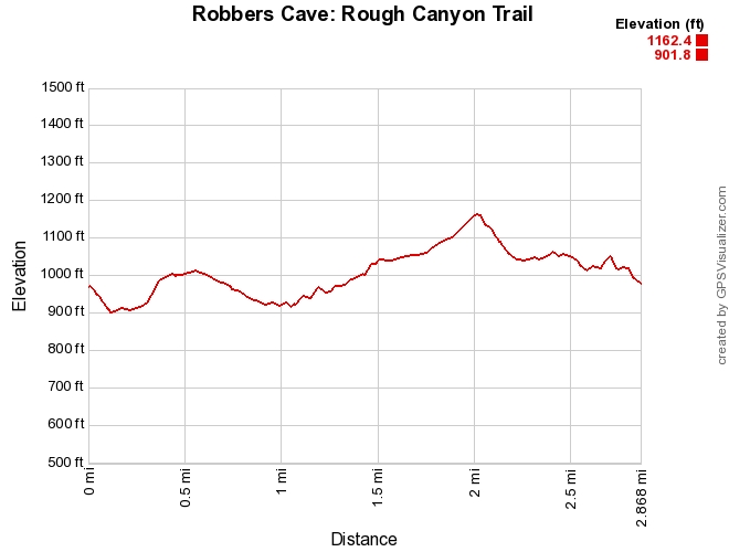
The Rough Canyon Trail is one of the most popular trails at Robbers Cave State Park (near Wilburton, Latimer County, Oklahoma). It’s a scenic 2.9-mile loop that starts about 100 feet from the Robbers Cave Nature Trail (the cave area).
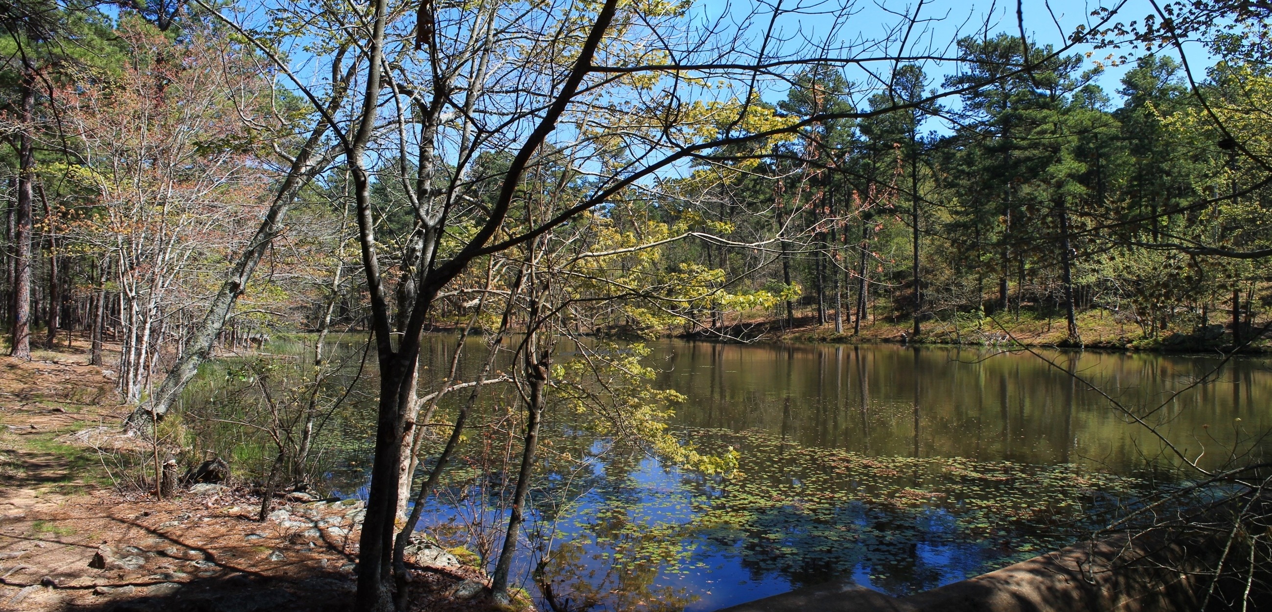
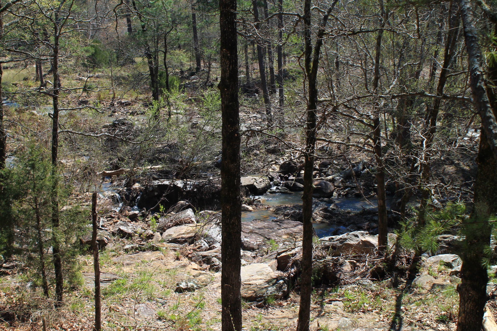
Among the trail’s highlights are the Rough Canyon (a creek valley) and Lost Lake areas.
This is moderately challenging trail with about 500 feet of cumulative elevation gain. The elevation change is only about 250 feet though.
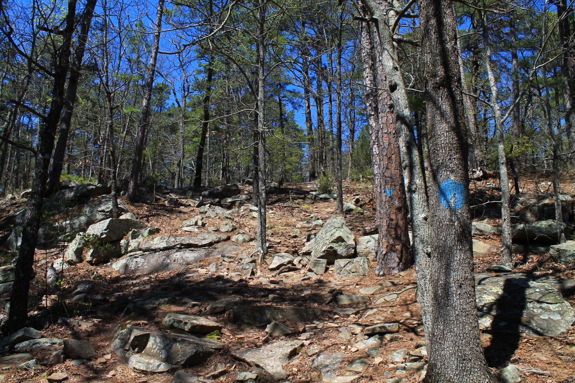
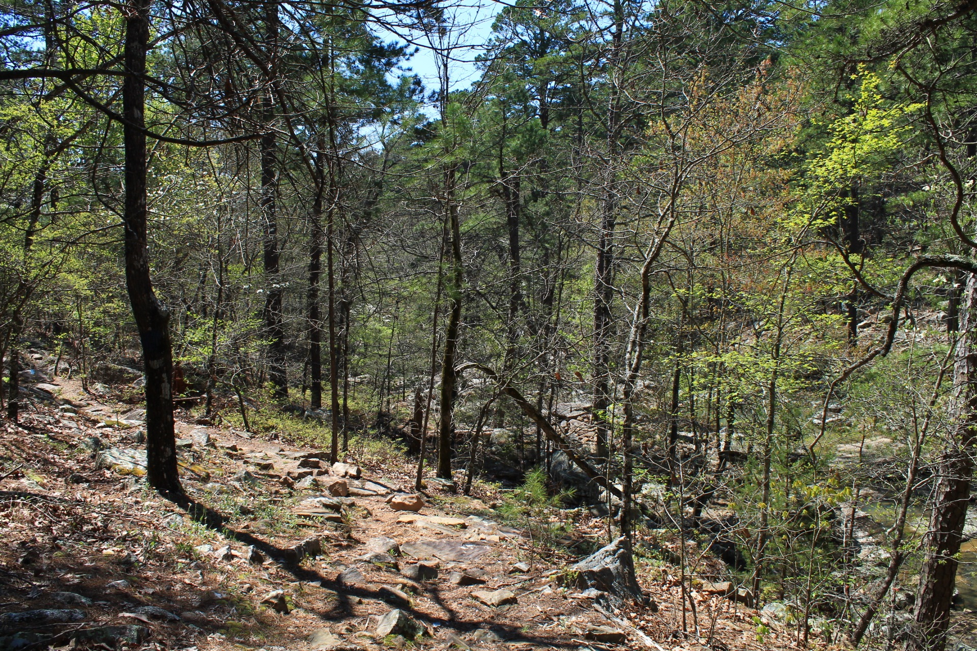
Quite a bit of the trail is rocky. While lots of rocks can make walking a bit tougher, they also add beauty and character.
Getting to the Rough Canyon Trailhead
Wilburton is on Highway 270, about 40 miles west of Poteau. From Wilburton, take Highway 2 north about 6 miles to the park. Go in the park’s main entrance on the left.
The trail starts at the cave area. Follow the signs in the park for Robbers Cave. (This is the same parking lot as the Robbers Cave Nature Trail.) You will be going north on Robbers Cave Road for about 1.5 miles and then taking a left.
There is parking in the Robbers Cave parking lot. The trailhead is at the lower part of the parking lot, to the left of the Robbers Cave Nature Trail area.
The Hike
From the parking lot, the trail goes clockwise. At the end, the trail joins the Robbers Cave Nature Trail and ends at just up the hill from where the trail starts.
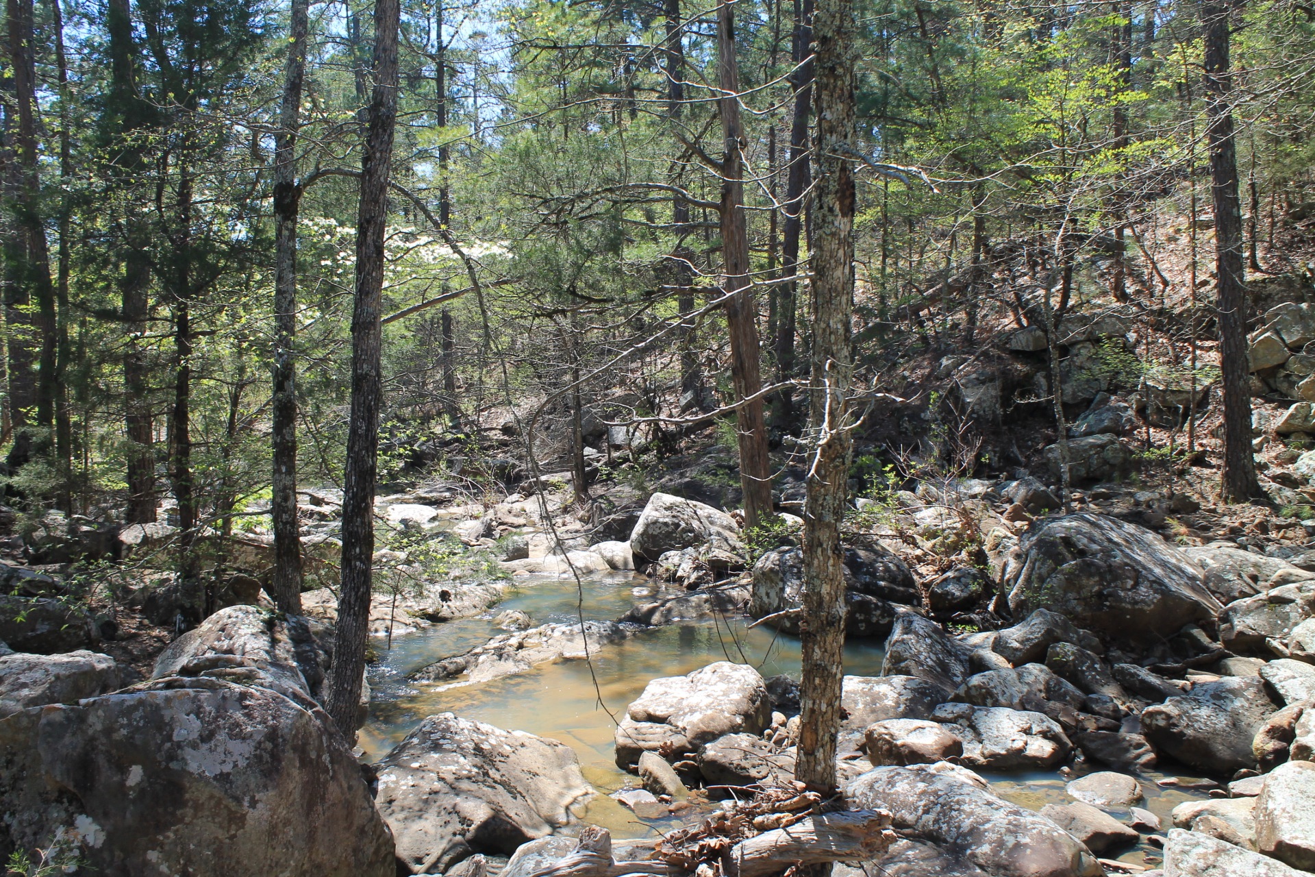
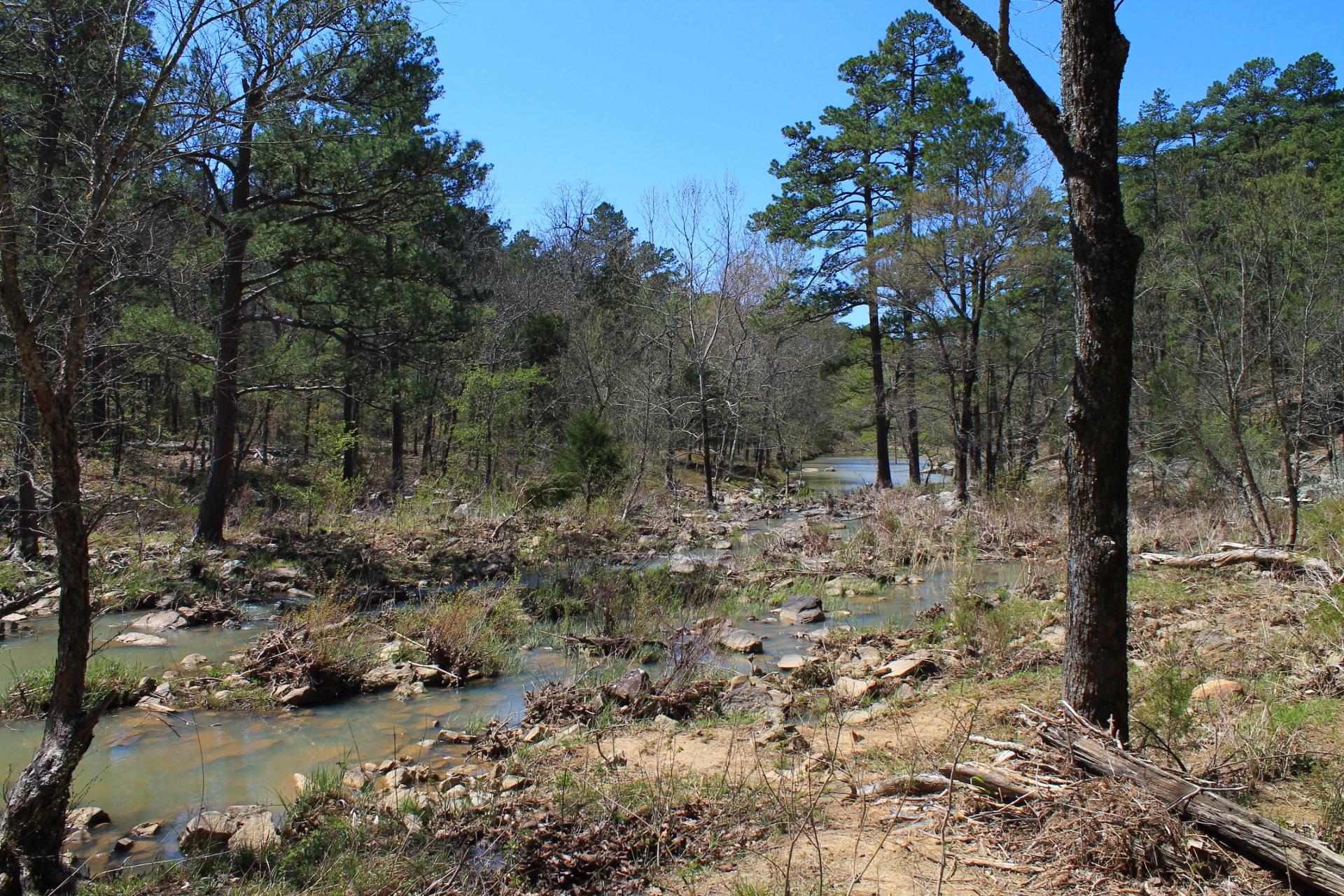
The first .1 miles is mostly a southwest descent down to Fourche Maline, a very pretty creek when it is flowing well. For about .2 miles, the trail follows along the creek. This is a very nice area when the water is flowing.
At around .3 is a fairly steep uphill climb that’s pretty rocky. It’s a cool interesting area.
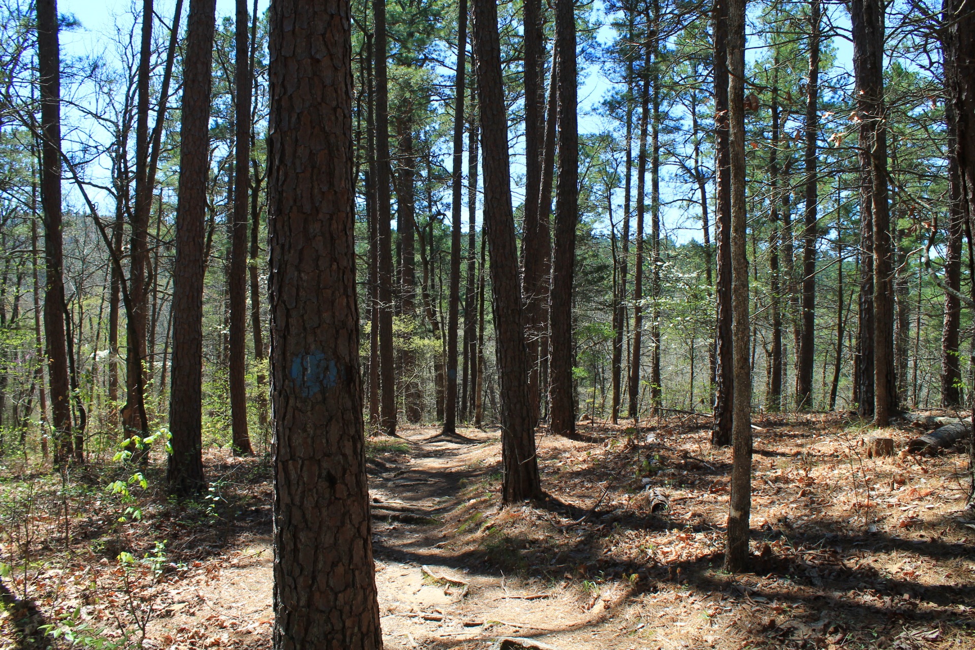
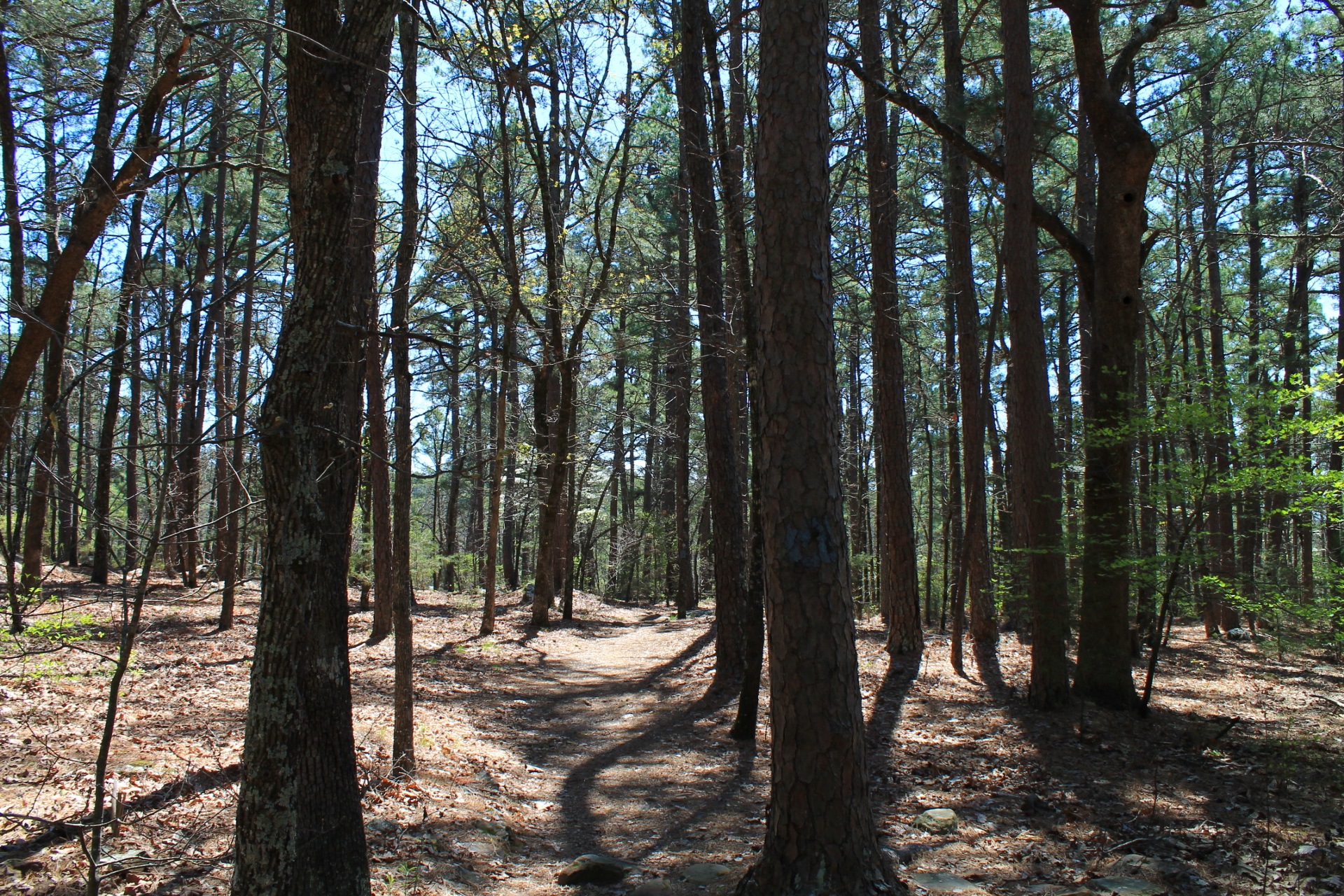
For most of the next half mile or so, the trail is less steep and less rocky. During this stretch, there is a part where a horse trail overlaps with the trail. (It is marked with yellow blazes.)
At around 1 mile, the trail reaches the juncture with the Cattail Pond Trail. (It has double blue blazes. The Rough Canyon Trail has single blue blazes.) You would turn left here if you were doing Cattail Pond. Keep going straight.
The next half-mile is my favorite part of the hike. It mostly goes along the scenic Rough Canyon area. (Rough Canyon is really just a creek valley.)
This area is prettiest when there is water flowing in the creek, but it is still nice any time.
Rest of the Loop
After the Rough Canyon area, you will reach the north junction with the Cattail Pond Trail. Here, make a right turn to continue on the Rough Canyon Trail. The starts heading uphill.
If it’s a wet time of year, shortly after heading up this part of the trail, you should see a cool rocky stream over to the right.
About a third-mile past the north Cattail Pond Trail junction is Lost Lake. This is a very pretty spot.
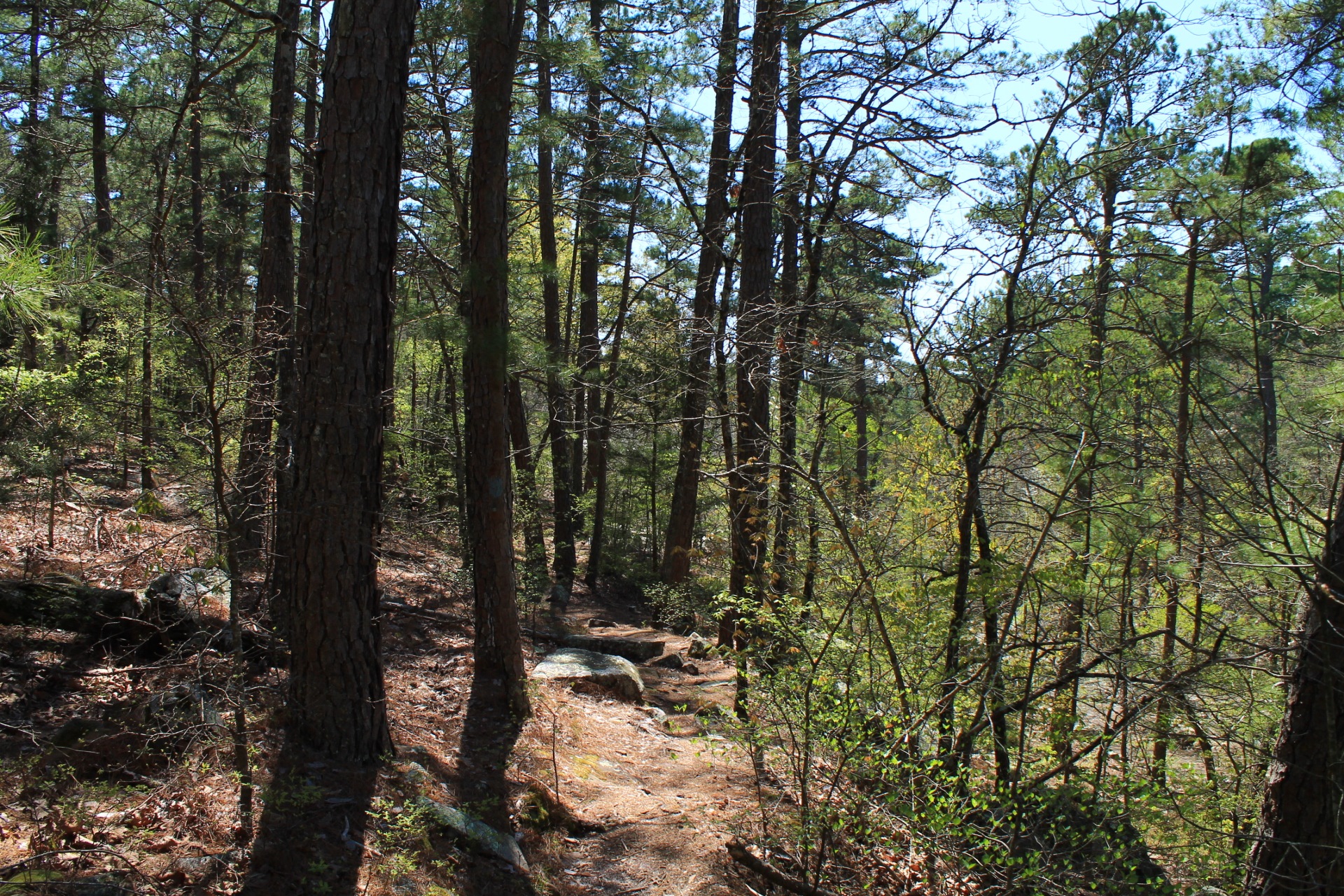
It’s about 1.2 miles from here back to the parking lot. Most of the rest of the trail makes a large U-curve pointing northeast. The first part is a pretty good climb up to and over a ridge.
After getting over the ridge, the trail works its way back over to the cave area.
The last part of the trail is a scenic hilly and rocky section as the trail approaches the Robbers Cave area from the northeast.
The trail ends at the Robbers Cave Nature Trail (orange blazes). At this point, turn left and head on back to the parking lot.
Final Notes
Overall, I had AT&T cell signal about 70% of the time.
This is a frequently travelled trail. It’s pretty easy to follow.
These photos are all from my April 2, 2016 hike. As you can see, some of the trees had their leaves, but it was mostly still leaf-off.
See this post for pics I took of the trail in 2014.
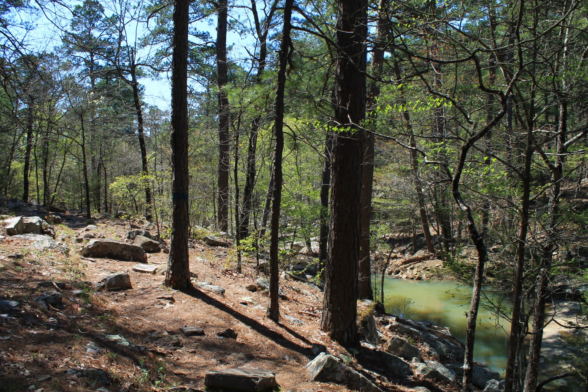
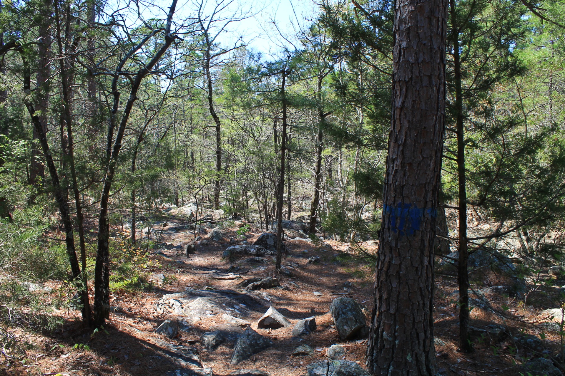
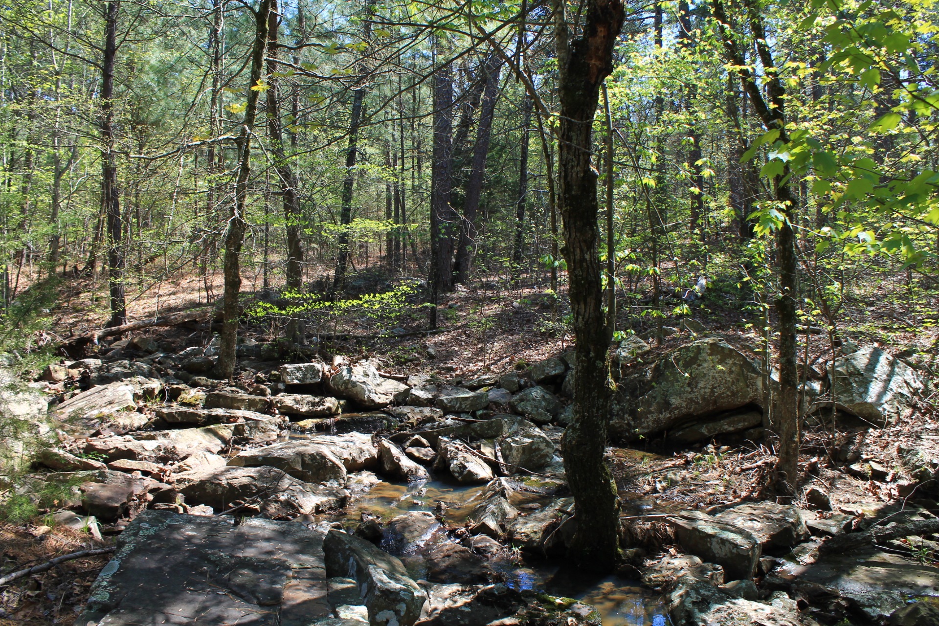

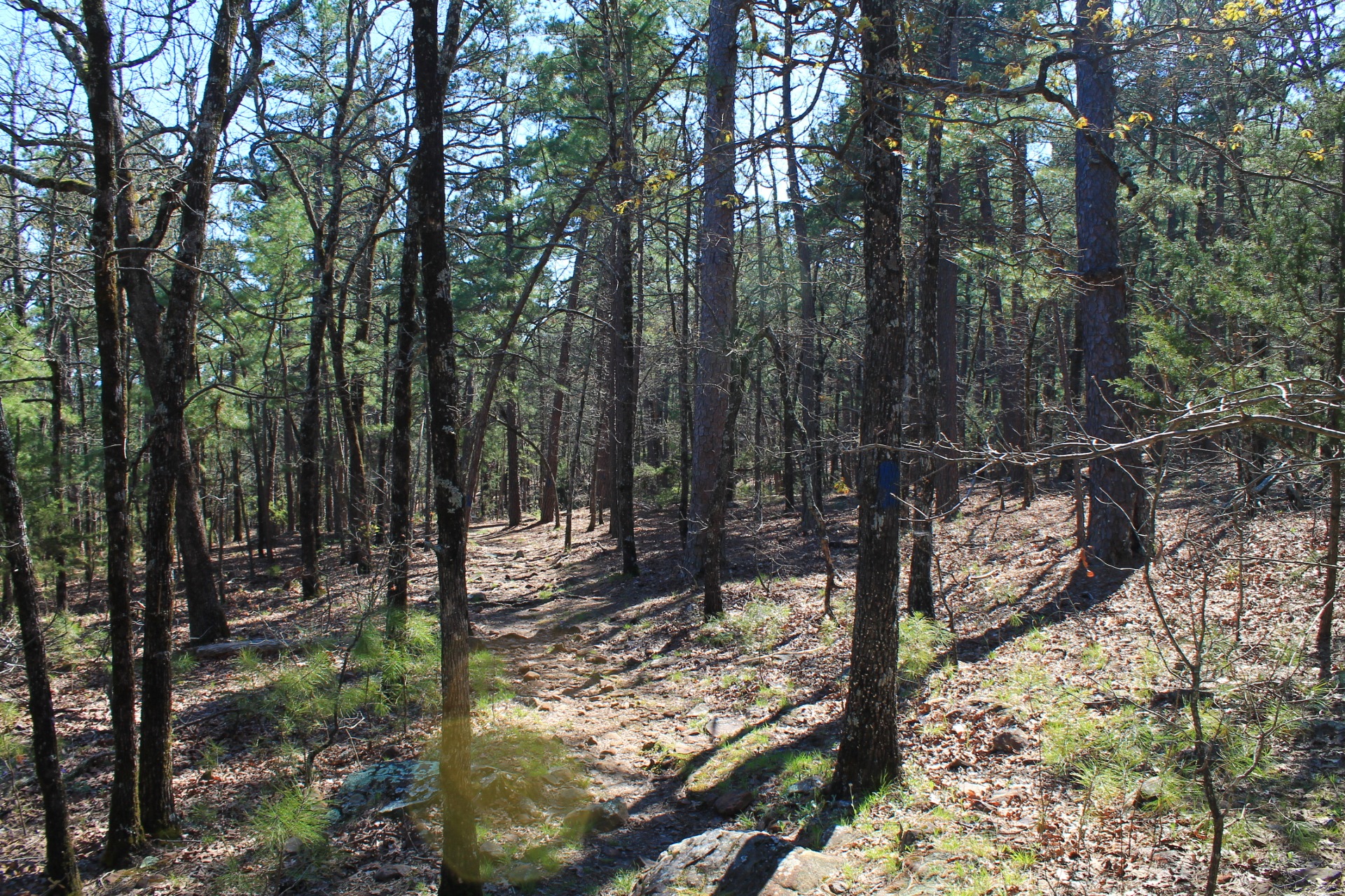
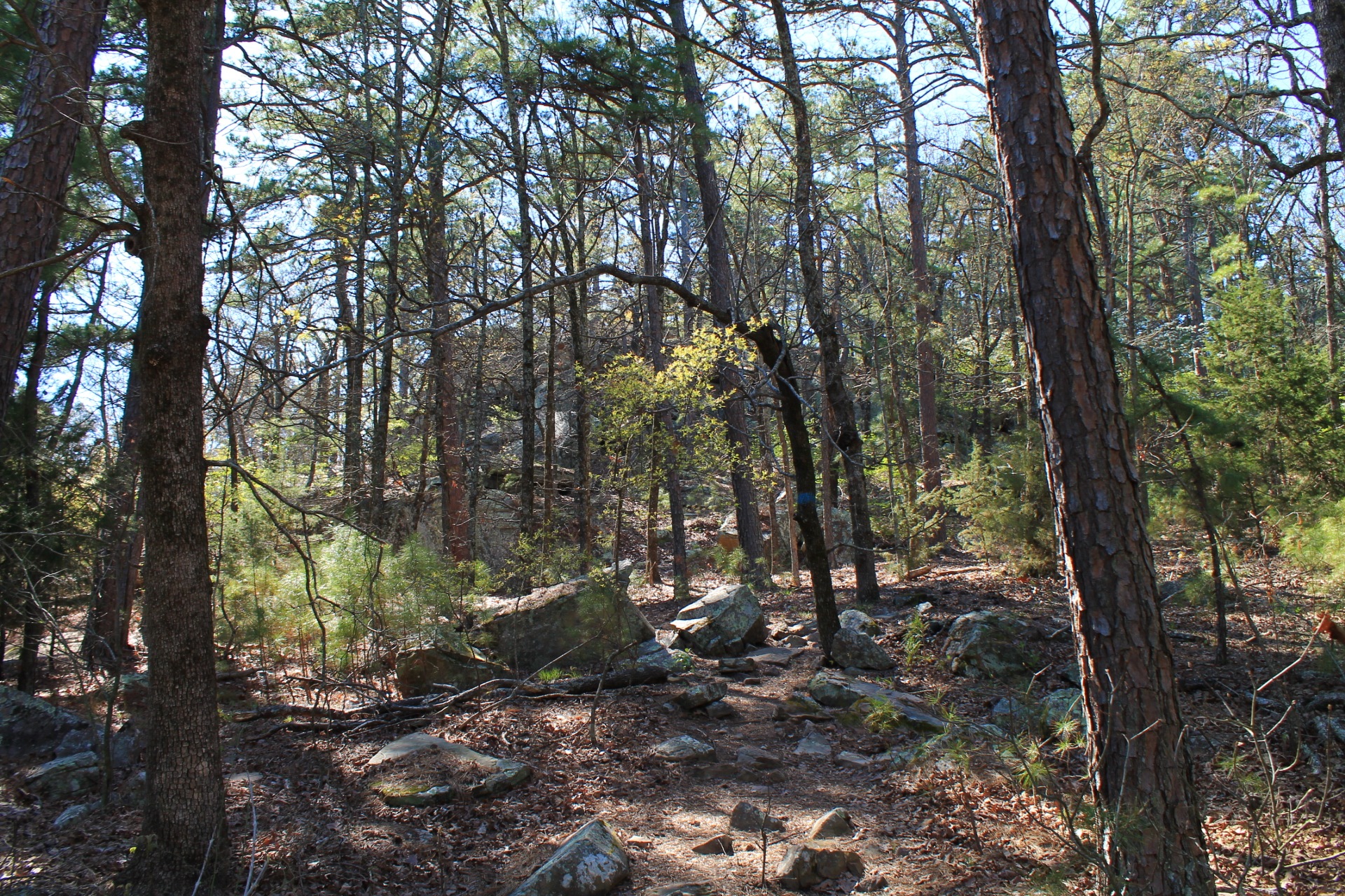
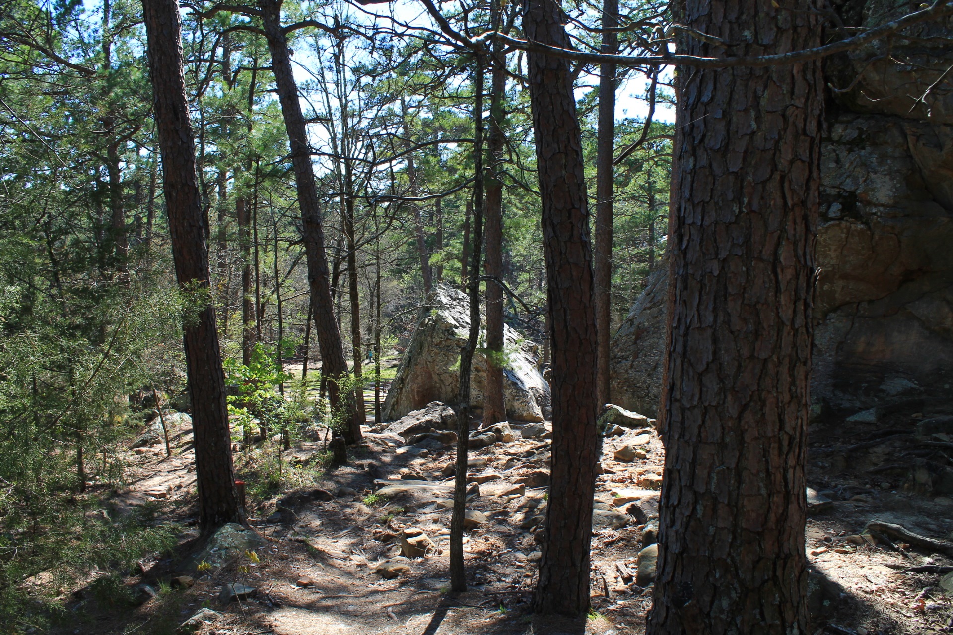
Photo Gallery
Click below for full-screen photo gallery of these and other pics from my April 2, 2016 hike.


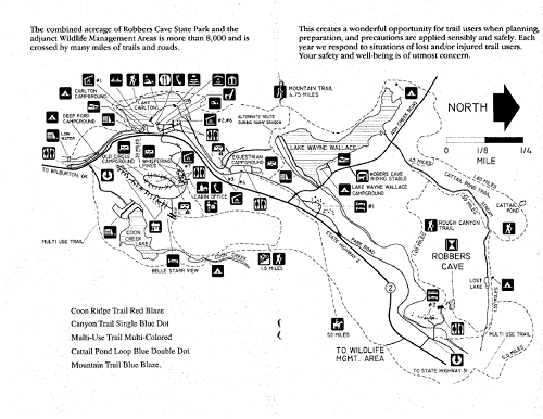
Map
Robbers Cave: Rough Canyon Trail |
|
|---|---|
| Location | Robbers Cave State Park, near Wilburton, Latimer County, Oklahoma |
| Hike Length/Type | 2.9-mile loop |
| Difficulty | Moderate (3 of 5) |
| Other Permitted Usage | Pets on a leash. |
| Gpx file by Mike | Link |
| Date Hiked | April 2, 2016 (and earlier) |
| Directions | Google Maps Directions to Cave Parking Area (Trailhead) |
| Official Info | (918) 465-2565 Website Park Trail Map (pdf) |
Note: In most Oklahoma state parks, you will probably need to pay a day use fee of $8 to $10.
Last revised: 11-8-2020.
2 replies on “Robbers Cave: Rough Canyon Trail – 3 mi”
Enjoy your blog… just did the Ouachita trail section Big Cedar to the Winding Stair shelter and back, not as “scenic” or as steep as I thought it would be. Gave a nod to ‘ole Rooster, tho.
On the Robbers cave trail, found a couple of cool balanced rocks formations on the other side of the creek from the trail, 4 or 5 years ago. Sorry, no pics or gps.
Thanks for the comments and the trail report, Bob.