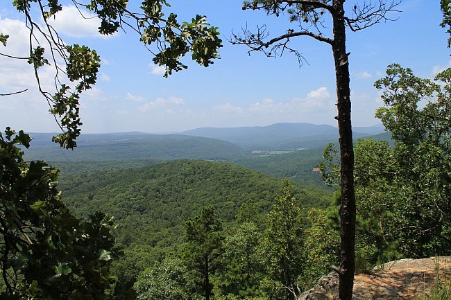
The Redding Loop/Spy Rock hike is a great day hike on the south end of Morgan Mountain with some wonderfully scenic areas.
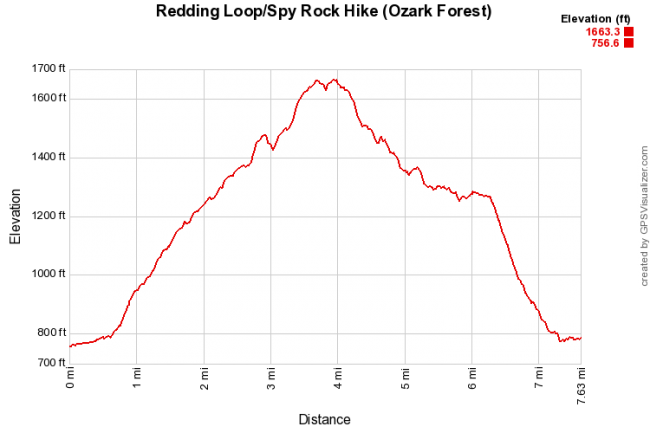
At about 8.2 miles and with a net elevation change of about 900 feet, it is also a challenging one.
The hike starts at the Redding Campground (Redding Recreation Area) by the Mulberry River in the Ozark National Forest (northeast Franklin County).
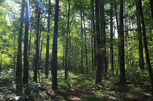
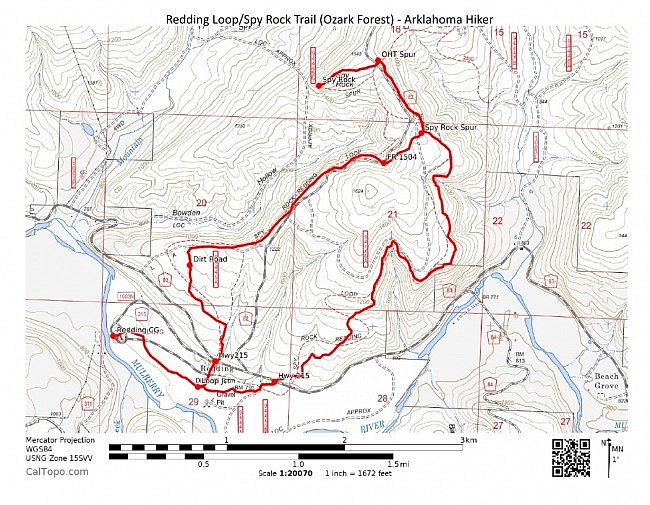
There are basically three parts to this hike: (1) a half-mile spur from Redding Campground (Redding Recreation Area) to the Redding Loop; (2) the Redding Loop (about 3 miles on east side and 2.4 on west side); and (3) the 2 consecutive spurs that connect the top of the loop to Spy Rock.
I did this hike twice recently: on May 31 and on July 11. The May hike was an overcast drizzly day, but a great time to catch the streams flowing. On July 11, it was sunny and much drier.
Getting to Redding
To get to Redding Campground from the south, take I-40 to Exit 35 near Ozark. Head north on Highway 23 for about 15 miles, just past the community of Cass.
Take a right at Highway 215 heading east. After about 3 miles, Redding Campground is on your right.
You will probably need to pay a $3 day-use fee when you arrive.
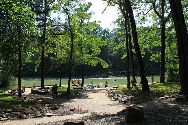
I usually park at the campground’s Mulberry River access area. It usually has ample parking.
Work your way to the bathhouse. The trailhead (marked with sign) is across the road.
Campground Spur and Redding Loop-East
The first half mile or so is a spur that heads southeast from the campground to the Redding Loop. This is a pretty flat low-lying area that is an easy walk.
During wet times, you may see a few streams in this area.
Then you will arrive at the Redding Loop junction. I usually take a right here to go counterclockwise and do the east half of the loop first.
The distance from here on the east part to the top of the loop is about 3 miles.
After a quarter-mile, you will come to a small parking area. If you wanted to do the Redding Loop without the campground spur, you could start your hike here.
A little further ahead, the trail crosses Highway 215. (The west side crosses it a little further to the west.)
It’s around this area when the trail starts climbing. And it’s pretty much a continuous climb until you reach Spy Rock.
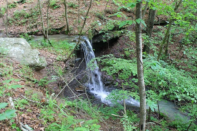
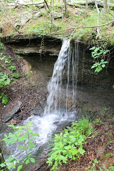
On either side of the loop, I think the prettier parts are after your get past the first mile or so and into the higher elevations. The lower areas are a pretty walk through the woods with some climbing, but the best features are in the higher elevations.
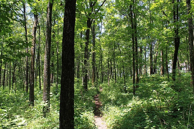
At the higher parts on the east side, the trail largely follows a bluffline at the southeast corner of Morgan Mountain, over a Mulberry River valley area to the south and east. It winds its way in and out not far from the mountain edge, gradually working its way uphill.
On the east side, there isn’t much in the way of vista views during leaf-on, but you do get some glimpses here and there. (There probably are a number of nice views during leaf-off.)
The highlights of the east side of the loop, during the wet season anyway, are two waterfall areas.
If you look at the map below, check out the two north-pointing notches on the east side. There are streams flowing at each of these points that form waterfalls.
The first waterfall (the southern and smaller one), I’ll call “Redding Loop Falls.” (It’s unnamed as far as I know.) It’s about 10 feet tall and is pretty easy to see from the trail. The waterfall and the stream flowing above it are a quite scenic little area.
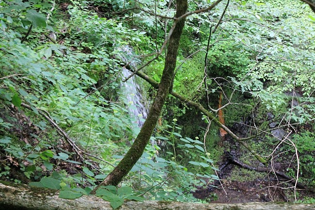
The second waterfall (about .9 miles further up the trail) is Spy Rock Falls (according to Tim Ernst’s Arkansas Waterfalls). It’s a more impressive 19-foot waterfall, but it’s also a more difficult one to see during leaf-on . (In Arkansas Hiking Trails, Ernst says, “There is a lot of neat stuff growing at the base of this falls–if you can only figure out how to get down and have a look at it!”)
It does look like it would be a challenge to reach the bottom of Spy Rock Falls (and then return). It was flowing pretty well during my May visit to the trail, but I didn’t try to figure out how to get down to the bottom. (That’s on my to-do list though.)
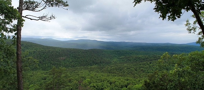
Spy Rock
Eventually, you will come upon the spur that takes you off of the Redding Loop toward Spy Rock. (There should be a sign here.) Take a right here.
This .5-mile spur takes you northwest toward the (second) Spy Rock spur and also toward the Ozark Highlands Trail (OHT). This spur heads downhill a bit before returning to an uphill climb.
Then you will come upon the second spur, on your left. Take this spur for the .4-mile walk (heading west) over to Spy Rock. (Continuing on to the right would take you toward the OHT.)
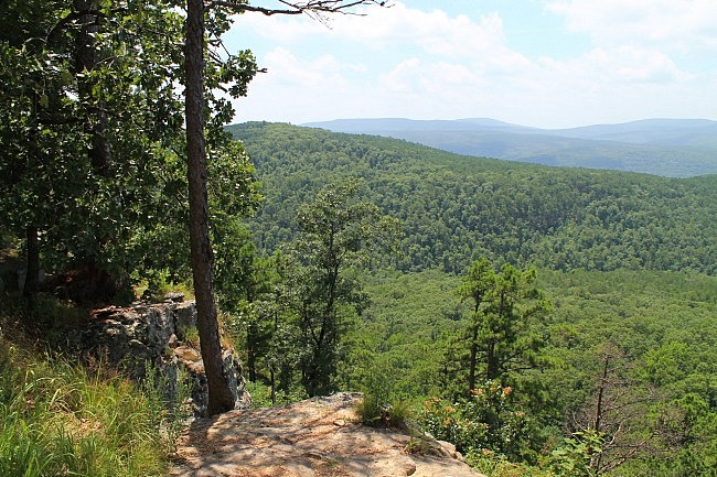
At Spy Rock, there is a wonderful overlook with a mainly south-facing view of the Mulberry River area Ozarks.
Over toward your left you can see parts of Morgan Mountain that you will be walking on the west part of the loop.
Note of caution: As always, be very careful around bluffs. A fall could result in severe injury or death.
After enjoying the view at Spy Rock, it’s time to head back.
The vast majority of the rest of the hike is downhill.
Redding Loop-West
Head back downhill (east) on the Spy Rock Spur and then make a right turn at the next spur (heading southeast) to get back to the Redding Loop.
At the Redding Loop junction, take a right turn to head back downhill on the west side. It’s about 2.4 miles from here down to the south junction of the loop.
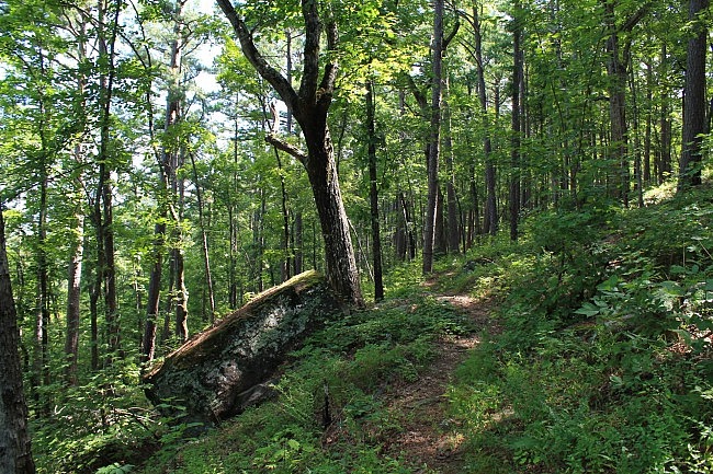
I think the first (upper) mile or so of the west side is pretty cool. Most of it goes along a hillside on the south side of Bowden Hollow. I really like trails that follow along a sloped area like this. They give you interesting topography to see as you walk.
In the higher areas on the west side, there are some very nice views (even during leaf-on) of Bowden Hollow. (You can see Spy Rock!)
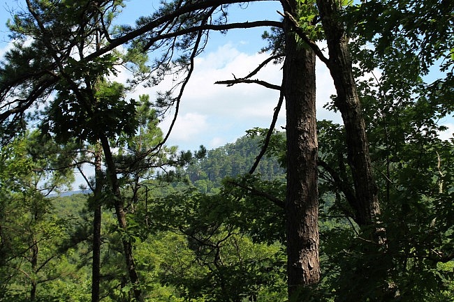
There are also several places in this area with cool boulders and rock fields.
Eventually, you’ll be working your way down the lower elevations again. Then you will cross Highway 215 again, and shortly afterward will reach the south loop junction.
At the loop junction, take a right to head back to the campground.
Final Notes
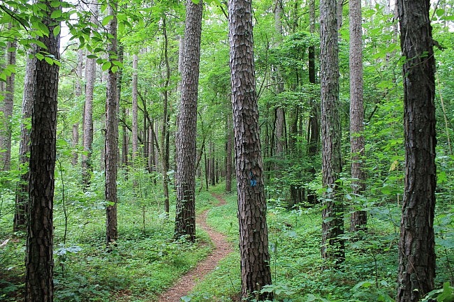
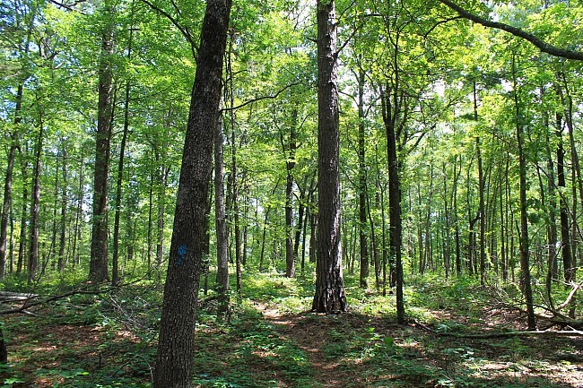
The trail was in pretty good condition and easy to follow when I did my hikes a few months ago. All of the trail except the (last) Spy Rock spur is marked with blue blazes.
Overall, I enjoyed the west side of the loop more than the east side because of the interesting hillside terrain and the nice views of Bowden Hollow.
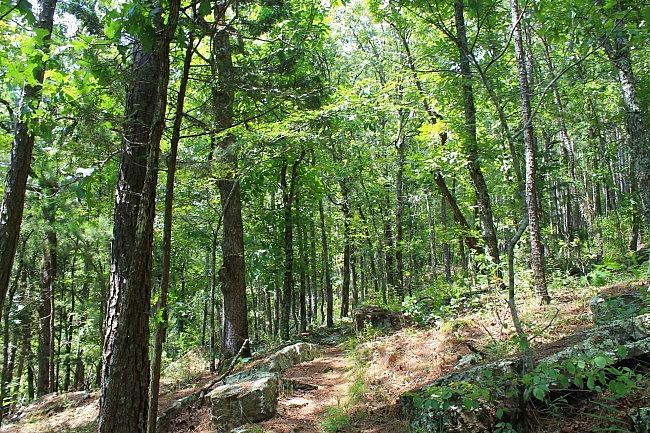
The east side is pretty scenic too, especially during wet times when the streams and waterfalls are flowing well. (One downside of the east side is sometimes you may hear a bit of noise from a nearby private ATV park.)
County Road 82 (a dirt road) runs parallel to much of the west side of the Loop. The west Redding Loop crosses it once, as does the Spy Rock spur.
I had AT&T cell coverage most of the time in the higher elevations, about 60% overall.
These photos are all from my May 31 and July 11, 2015 hikes. Check out this post for more photos from those hikes.
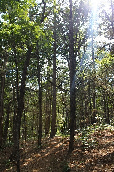
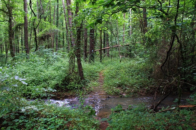
Photo Gallery
Click below for full-screen photo gallery of these and more pics from my May 31 and July 11, 2015 hikes.
Map
Redding Loop/Spy Rock Hike (Ozark Forest) | |
|---|---|
| Location | Franklin County, Pleasant Hill District, Ozark National Forest, Arkansas |
| Hike Length/Type | 8.2 miles (from Redding Campground to Spy Rock and back including loop trail), semi-loop |
| Difficulty | Very Strenuous (5 of 5) |
| Gpx file (by Mike) | Link |
| Date Hiked | May 31 and July 11, 2015 (and earlier) |
| Directions | Google Maps Directions to Redding Campground (Ozark Forest) |
| Official Info | (479) 754-2864 (USFS Pleasant Hill Ranger District) Website |
[Last updated: 3-29-2020]


