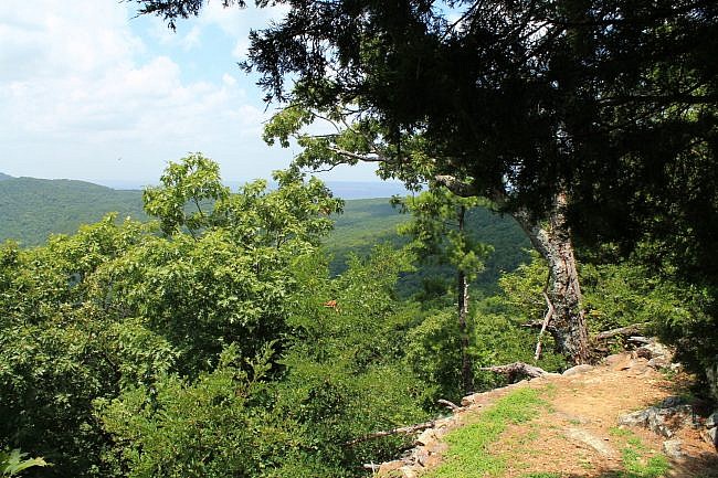
The Summit Park Trail, named for the Summit Park Hotel (1889-1918), is one of the two coolest trails at Mount Nebo State Park (Yell County, near Russellville). (The Rim Trail is the other.)
Summit Park Trail is a vigorous walk with about 500 feet of elevation gain. (Elevation change is about 300 feet.) It make a 1.6-mile loop across the west side of the mountain.
About 1/3 of it is shared with the Rim Trail. Most of the rest runs parallel to the Rim Trail.
This hike is very scenic. Although most of it does not have a lot of vista views (during leaf-on), it has wonderfully interesting terrain, slopes, and many interesting and scenic rocky areas.
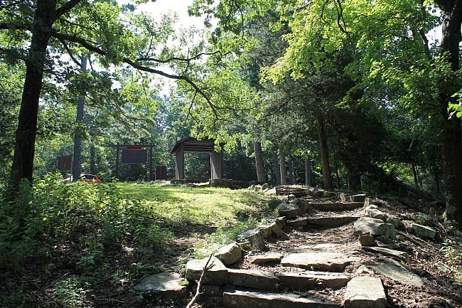
Getting to the Summit Park Trailhead
To get to Mount Nebo State Park from Russellville, head south toward Dardanelle on Highway 27 (Arkansas Avenue).
After crossing the river into Dardanelle, go another mile and turn right onto Highway 22. Then turn left on Highway 155. (Follow the signs.) Highway 155 goes to the state park.
After you are in the park and reach the top of the hill (it is quite a hill), turn right and head toward the visitor center.
The visitor center will eventually be on your right. Just before that, make a left turn (follow the signs) to reach the Summit Park Trailhead.
There is parking at the trailhead.
The Hike
There are two main elevation levels at Mount Nebo—the top (or Rim Trail) level and the bench level. On the top of the mountain are the visitor center, cabins, the campground, a pool, and some beautiful overlooks.
About feet 250 lower is the bench level. It has the Bench Road Trail, an overlook, and some hike-in campsites.
The Summit Park Trail makes a loop across the west side of the mountain. It goes down to (or nearly to) the bench level in 2 spots. The last half-mile overlaps the Rim Trail.
If you can, get a copy of the trail brochure available at the visitor center. It has information about a number of spots along the trail.
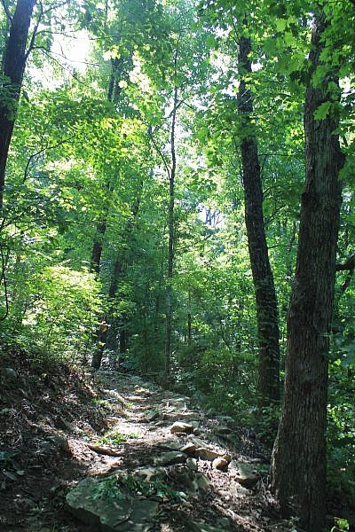
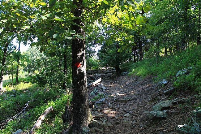
The first quarter-mile of the trail is series of switchbacks descending down to Darling Spring. I think hillside walks like this are cool. They are pretty and interesting and give you more of a workout.
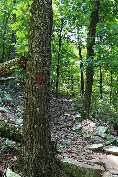
Generally, the trail is easy to follow by sticking to the red blazes. However, there are a few tricky spots. One is around the Station 1 area, where there is a “CCC Stone Sign” carved into rock. (There are signs pointing out these points of interest. There is information on them in the official trail flyer.)
At this area, the trail appears to just continue straight, but actually, you should make a right turn here and head downhill. (The path straight is basically a bypass.)
The trail hits Darling Spring at about .3 miles. This spring served as a water source for the Summit Park Hotel.
At this point, the trail is nearly down to the bench level. From here, the trail turns sharply and heads back uphill on a stone staircase.
The next .1 mile or so has some fairly steep climbing as the trail goes back about 100 feet higher up. There is a nice footbridge crossing in this part. Eventually, it gets back up to near “Station 1.” Then the trail continues the southward journey along the west side of the mountain.
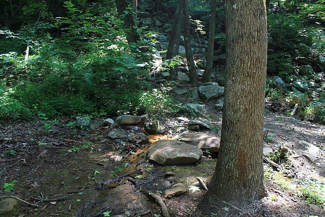
One of the cool spots on the trail is at around .5 miles where there is a large area of small boulders next to the trail (on the left).
Shortly after this area, there is a spur to the left you could take for a shortcut back to the rim area. Stay straight to continue the loop.
Fern Lake and Completing the Loop
The trail then generally heads downhill toward the bench level. It reaches the bench level at Fern Lake at around .7 miles. According to the trail flyer, this small lake was used by hotel guests for recreation.
Shortly after Fern Lake, the trail makes a sharp turn back uphill. The trail then heads through some really cool rocky areas.
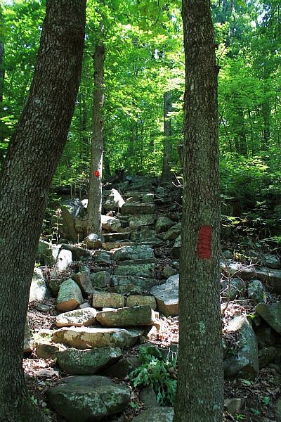
At around .9, there is a wonderful boulder field that the trail walks straight through the middle of.
After the boulder field, the trail turns again and makes some steeper climbs to get back up to the Rim Trail.
As the trail approaches the Rim Trail, there are some very nice west-facing views during leaf-on. (Of course, there are many more open views during leaf-off).
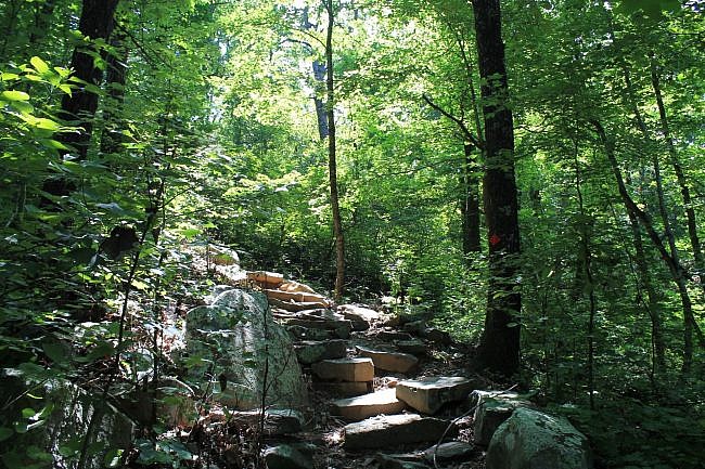
At 1.1, the trail makes a left turn and joins the Rim Trail. The rest of the Summit Park Trail overlaps with the Rim Trail. From here, it is a half mile walk northward back to the trailhead. (There are red and yellow blazes to indicate both trails.)
Although there are numerous great views on the Rim Trail, the Lover’s Leap vista which comes up shortly is a particularly nice one.
Caution: There are bluffs and drop offs on the trail. Use caution in these areas. A fall could result in serious injury or death.
Final Notes
Like most of the trails at Mount Nebo, the Summit Park Trail was originally built during the Depression by the Civilian Conservation Corps.
Do not try to bring a camper or RV over 24 feet long to Mount Nebo State Park.
I had good AT&T cell signal when I last hiked the trail.
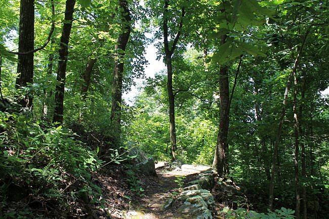
These photos are all from my July 17, 2016 hike. [Check out this post for more photos from my July 17, 2016 Summit Park Trail hike.]
Check out these 2014 pics I took of the trail during leaf-off.
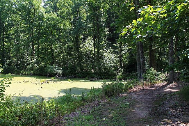
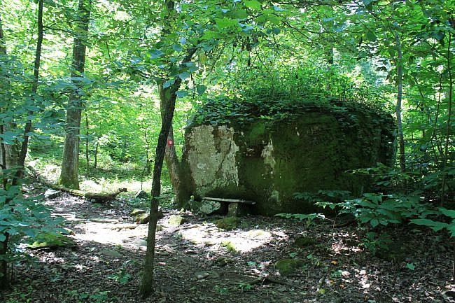
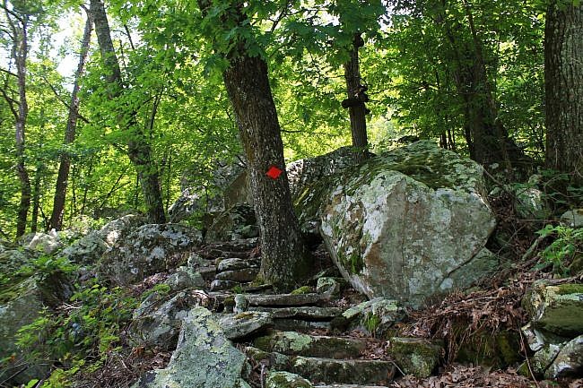
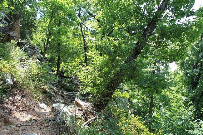
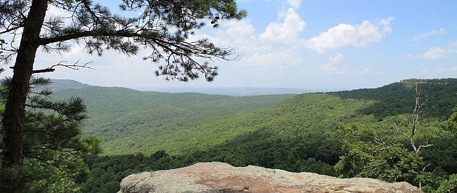
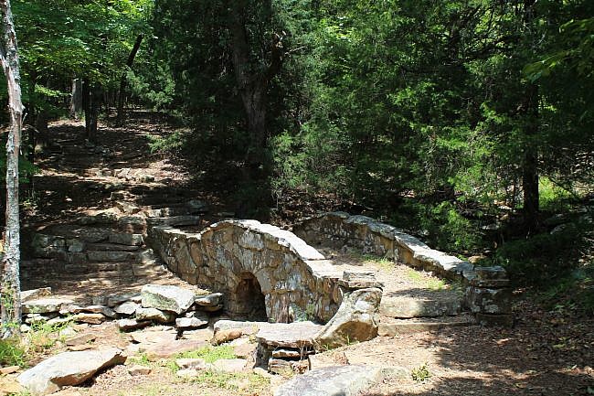
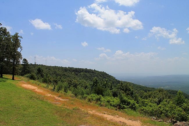
Photo Gallery
Click below for full-screen photo gallery.
Map
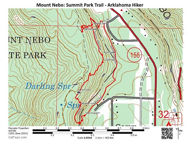
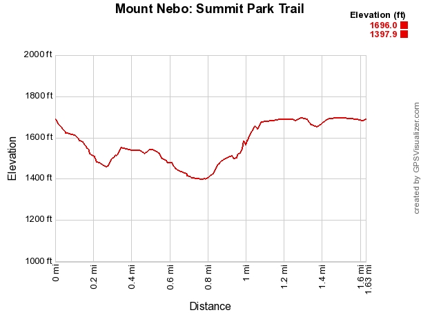
Mount Nebo State Park: Summit Park Trail | |
|---|---|
| Location | Yell County, Arkansas (near Dardanelle and Russellville) |
| Hike Length/Type | 1.6 mile loop. Red blazes. |
| Difficulty | Moderate (3 of 5) |
| Other Permitted Usage | Pets on a leash. |
| Gpx file by Mike | Link |
| Date Hiked | July 17, 2016 (and earlier) |
| Directions | CLICK - Google Maps Directions to Summit Park Trailhead |
| Official Info | (479) 229-3655 Website Park Trail Map (pdf) |
Last revised: 8-1-2021.


2 replies on “Mount Nebo: Summit Park Trail – 2 mi”
Mike,
Thanks for posting the article on Mt. Nebo. I tried to access the GPX file, but the link seems broken?
Charles, It seems to work to me. Mike