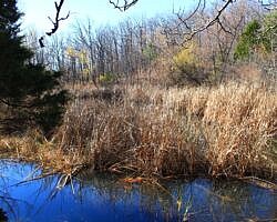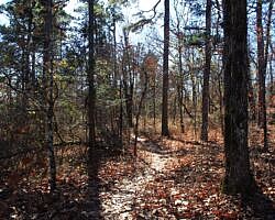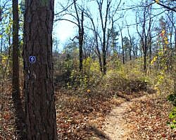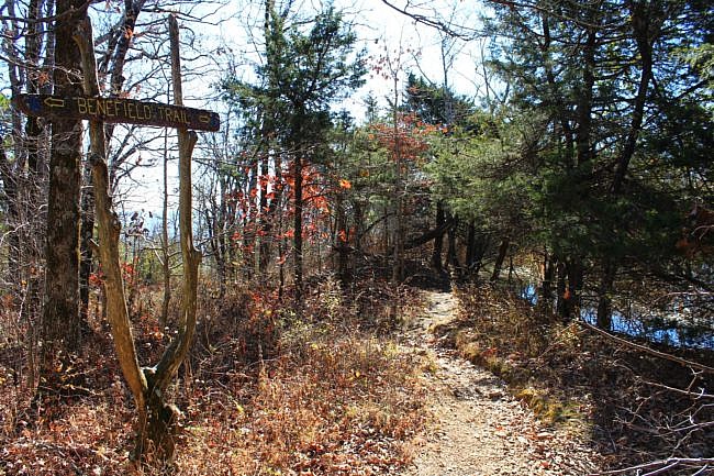
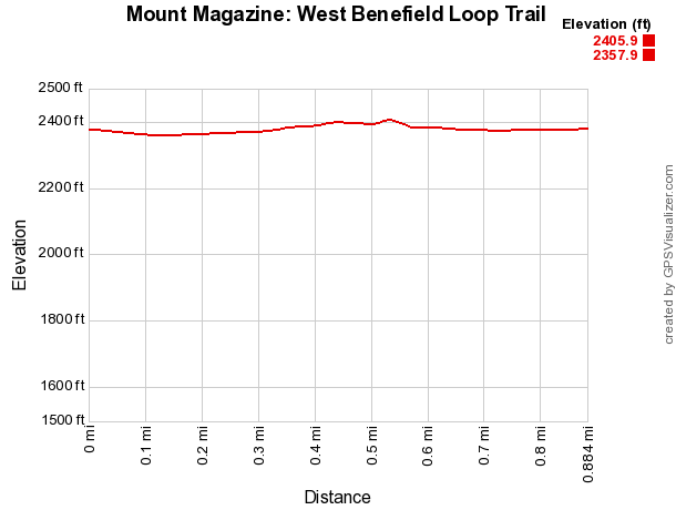
The Benefield West Loop Trail at Mount Magazine State Park is a pleasant and easy .9-mile wooded loop with little elevation change. There is a pond on the west end of the loop.
Mount Magazine is the highest mountain in Arkansas. It is near Paris in Logan County and is surrounded by the Magazine District of the Ozark National Forest.
Getting to the Benefield Picnic Area
To get to Mount Magazine State Park, you can take Highway 309 south from Paris. Highway 309 goes through downtown Paris. Follow the signs from downtown.
The park is about 17 miles from Paris.
If you’re coming from the south, head north on Highway 309 from Havana for about 10 miles.
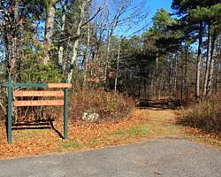
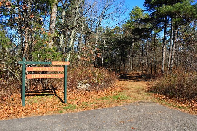
The Benefield West Loop starts at the Benefield picnic area at the southeast area of the park. The trailhead is near the restrooms. (It is the same trailhead as for Bear Hollow Trail.)
The Hike
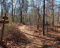
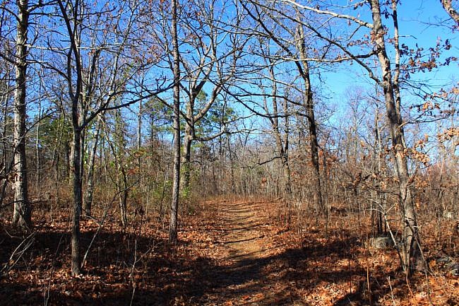
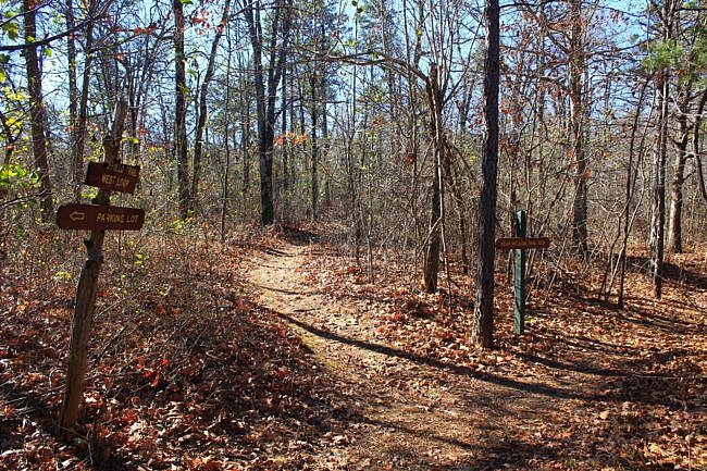
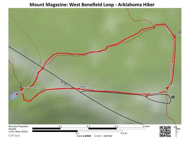
This is an easy well marked hike that is just under a mile. Start at the trailhead near the restrooms. The first part of the hike is basically just a walk on a dirt road. At about .1 miles, you would turn right and go downhill for the Bear Hollow Trail or Benefield East Loop. Stay straight to continue on this loop.
At close to .2 miles, there is a right spur to a different part of the Bear Hollow Trail. This spur joins that trail a little to the west of Inspiration Point. But for this hike, continue straight.
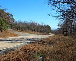
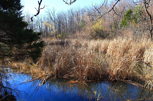
At around .5 miles, the trail reaches the first crossing of Highway 309. On the other side of the highway, the trail goes uphill slightly as it approaches a small pond, presumably made by earlier settlers.
At the pond (about .6 miles), you would turn right for the Mossback Ridge Trail. Take a left to continue on this loop.
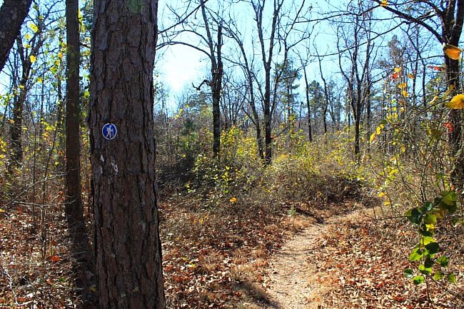
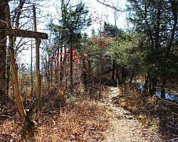
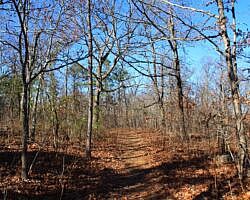
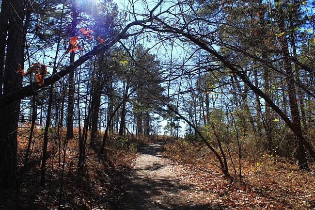
There are no vista views on this trail but during leaf-off there are places on the trail where you can see some of the valleys in the distance through the trees. This is one of those areas.
At about .7, you reach the highway again, near the entrance for the Benefield Picnic Area. Cross the highway, and walk up the road back to where you started at the picnic area.
Final Notes
Elevation change: About 50 feet.
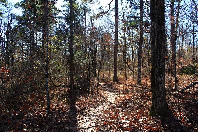
Trail condition: The trail was well marked and in very good condition when I hiked it on November 26, 2021. These photos are from that hike.
AT&T Cell coverage: About 50%.
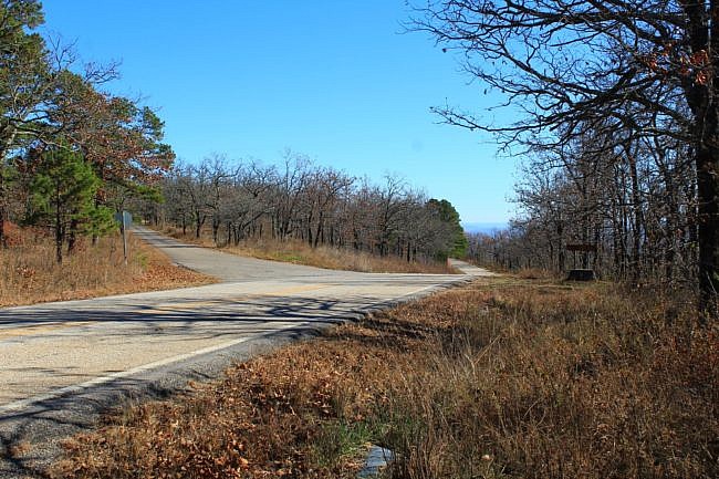
Photo Gallery
Click below for full-screen photo gallery.
Map
Mount Magazine: Benefield West Loop Trail | |
|---|---|
| Location | Mount Magazine State Park, Logan County, Arkansas |
| Length/Type | .9 mile loop |
| Difficulty | Easy (1 of 5). |
| Gpx file by Mike | Link |
| Date Hiked | Nov 26, 2021 (and earlier) |
| Directions | Google Maps Directions to Benefield Picnic Area |
| Official Info (Links) | 501-321-5202 Website Park Trail Map (pdf) |
Last revised: 1-7-2022.

