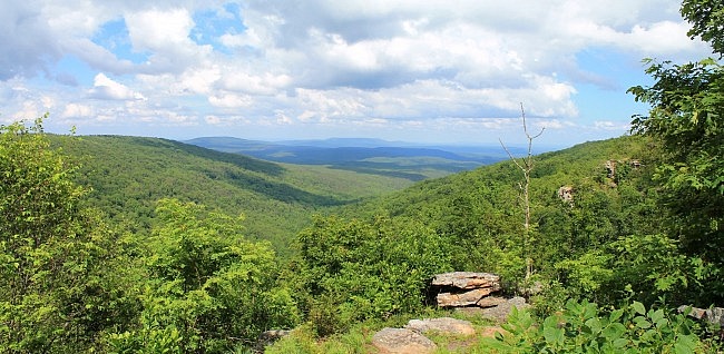
Mount Magazine State Park (Logan County, near Paris) sits on top of the highest mountain in Arkansas. It’s a great park, and Bear Hollow is one of its best trails. (Other trails at the park with great views are the North Rim Trail and the Benefield East Loop Trail.)
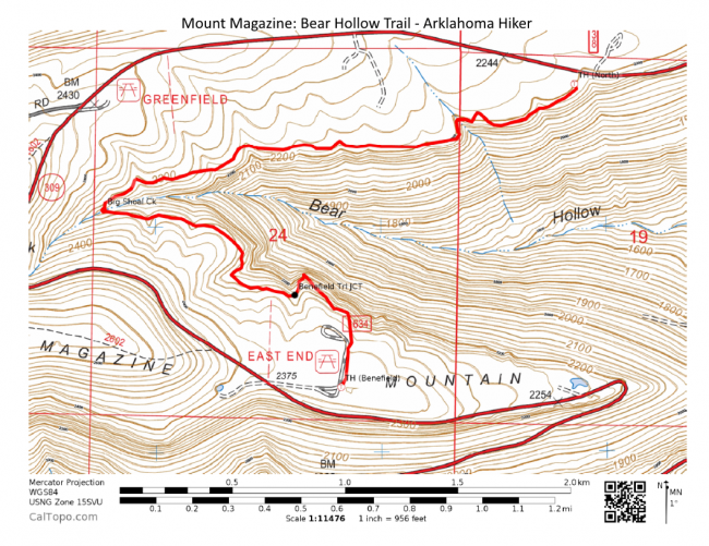
The Bear Hollow Trail is a 2.7-mile west-pointing v-shaped trail that follows the rim at the east end of the mountain. The trail’s south end is at the Benefield Picnic Area.
The north end is near the park’s horse camp. The north side runs about 1.5 miles, and the south side about 1.2.
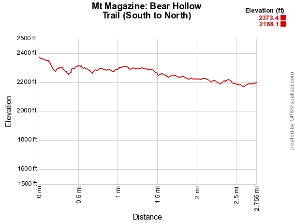
There is some climbing on the trail, but not a lot. The net elevation change is only about 200 feet. There is not a lot of up-and-downhill climbing. I recommending starting at the south trailhead at the back of the Benefield Picnic Area. The picnic area is on Highway 309 at the southeast part of the park. Just follow the signs.
There is parking here and a pit toilet.
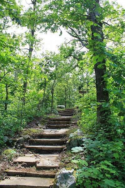
The trail starts out on a road trace heading north for about .1 miles. It then makes a right turn heading downhill for about another .1 miles.
The trail then makes a left turn. From here, the trail generally heads northwest on its way toward the vertex (the furthest point west) at Big Shoal Creek.
For the most part, the rest of the trail is on a fairly gradual downhill slope until it gets close to the north end.
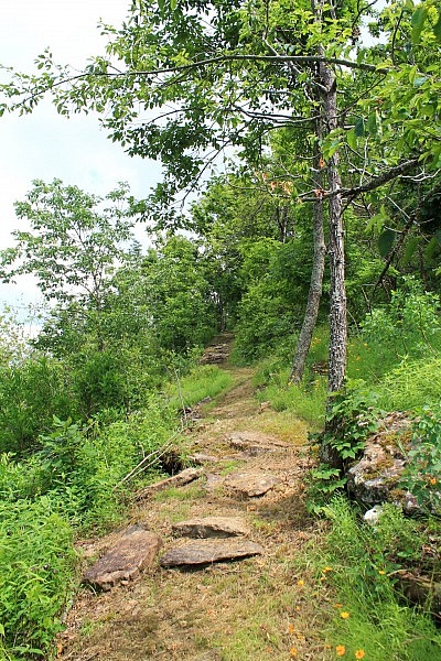
Big Shoal Creek is where the trail shifts directions and starts heading generally northeast.
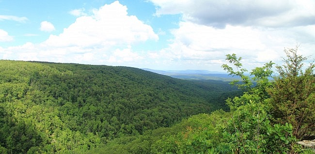
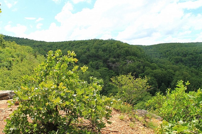
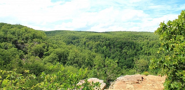
There are a number of places along the trail with nice views of Bear Hollow and the mountains off to the east. The 2 best are Sunrise Rock and Inspiration Point (a little further to the west). They are both on the trail’s south side at protruding bluffs with wonderful vistas from all sides. The east-facing views are particularly nice. (You might be able to see Mount Nebo, about 20 miles away.)
Note of caution: Exercise extreme caution around exposed bluffs. A fall could result in serious injury or death.
Besides Sunrise Rock and Inspiration Point, there are also a number of places along the hike with good views.
When you reach the north trailhead, you can turn around and head back the way you came. The entire out-and-back hike is about 5.4 miles. During wetter times, there are a number of stream crossings on the trail. The largest is Big Shoal Creek.
Final Notes
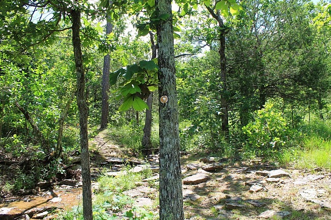
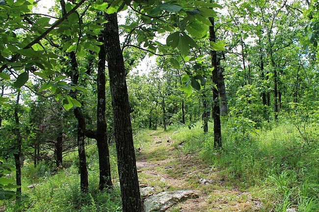
The trail was in very good condition and well-marked (yellow blazes) when I was there on June 15. In fact, it appeared that the trail had been recently mowed or trimmed.
If you want to start at the north end of the trail, you should park at the horse camp and make the short walk over to the north trailhead on the south side (the other side) of the highway.
These photos are all from my June 15, 2015 hike.
My AT&T cell coverage was hit-and-miss on the trail.
For an enjoyable short trail at Mount Magazine, check out the Signal Hill (Highpoint) Trail.
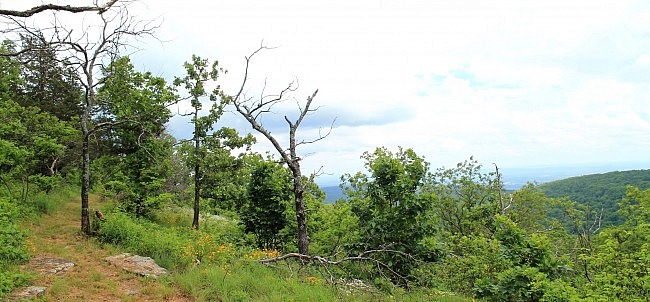
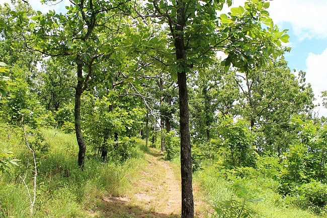
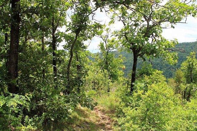
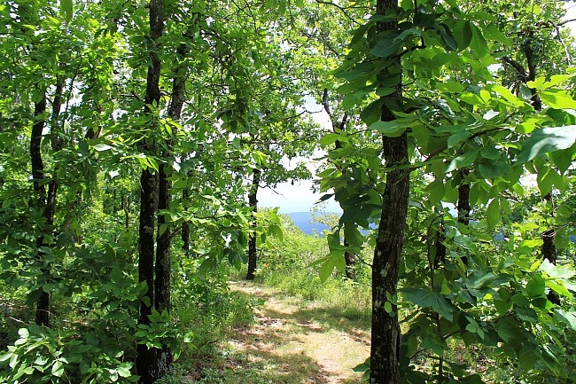
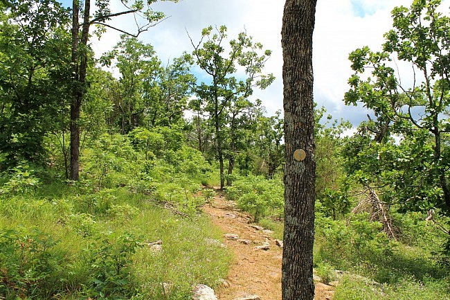
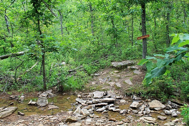
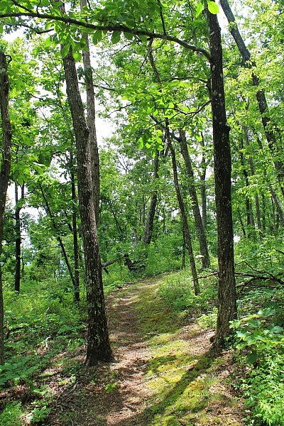
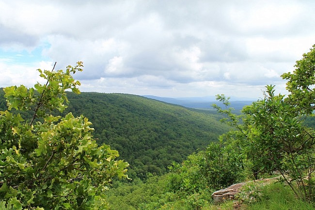
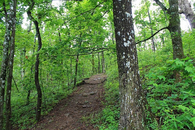
Photo Gallery
Click below for full-screen photo gallery.
Map
Mount Magazine: Bear Hollow Trail
Location Mount Magazine State Park, Logan County, Arkansas Hike Length/Type 5.4 miles out and back (2.7 miles each way) Difficulty Moderate (3 of 5) Gpx file by Mike Link Date Hiked June 15, 2015 (and earlier) Directions Google Maps Directions to Trailhead (Benefield Picnic Area) Official Info (Links) 501-321-5202 Website Park Trail Map (pdf)
[Last updated: 7-21-2021.]


2 replies on “Mount Magazine: Bear Hollow Trail – 5 mi (o&b)”
Thank you for all the info. Well written and easy to follow. I have not been to Mt. Magazine before but am excited more so after reading this.
Thanks Brandy!