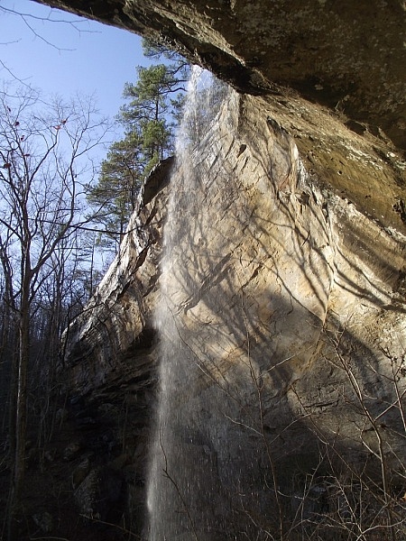
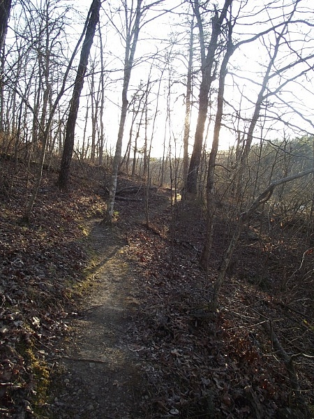
The Kings Bluff Loop Trail is a 1.8-mile trail in the Pedestal Rocks Scenic Area (Ozark National Forest, northern Pope County). The elevation change on the trail is only about 350 feet. It is a pretty easy hike. There is parking and a vault toilet there at the scenic area. It is on highway 16, a few miles east of the intersection (at Pelsor) of Highway 7 and Highway 123.
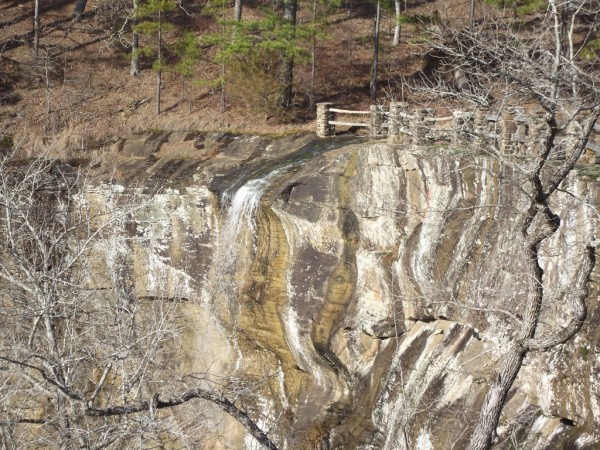
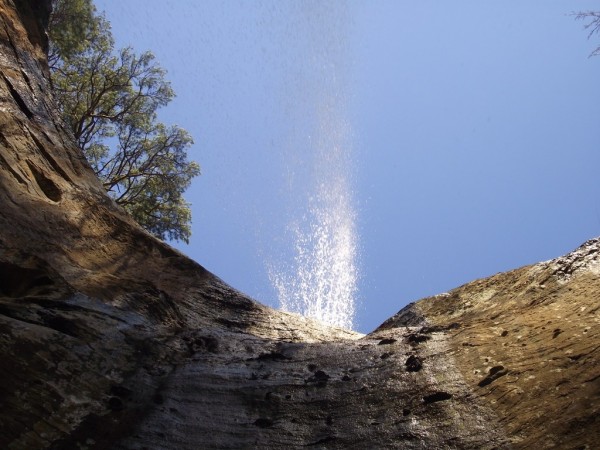
Of course, the highlight of the trail is Kings Bluff Falls. At 114 feet, Kings Bluff Falls is one of the tallest waterfalls in Arkansas. It is beautiful. Like many waterfalls in Arkansas, your best chances to see it in action are probably during leaf-off months and after a recent rain.
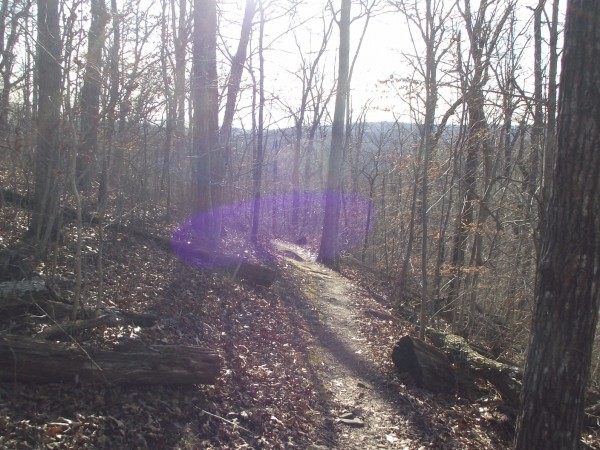
A few weeks ago, I headed to the Kings Bluff Loop Trail in the Ozark National Forest, about 45 miles northeast of Clarksville. I didn’t get there until around 2:30 p.m. I figured I should have enough time before dark to hike the Kings Bluff Loop Trail and the adjacent Pedestal Rocks Loop Trail. Neither is a long trail.
It turned out that I didn’t have time to do both. I ended up spending over an hour at Kings Bluff Falls because it’s just so awesome.
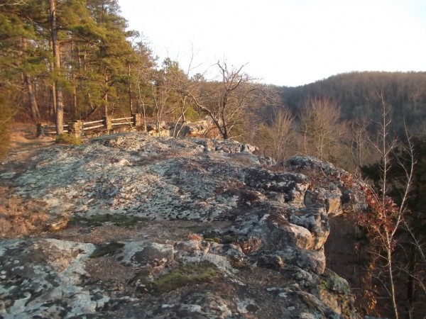
Even though there is a railing near the waterfall, you should be very careful in the falls and bluff areas. It can be dangerous.
Unfortunately, there is not an official trail to the prettiest view of the falls — the lower area. There is an established (unofficial) path that heads down to that area though. (Most of the photos I took are from the lower area of the waterfall.)
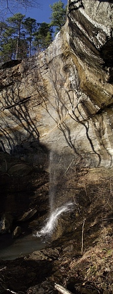
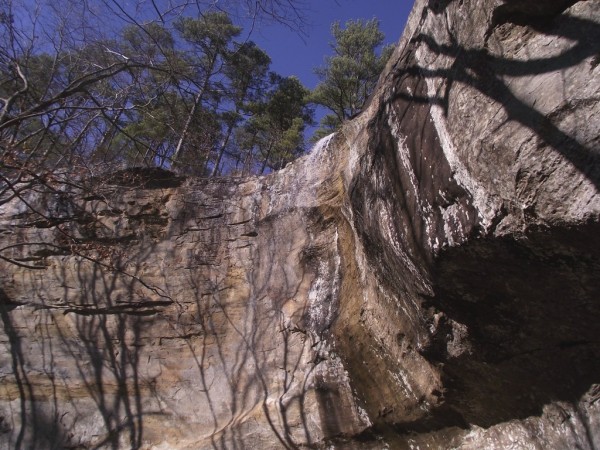
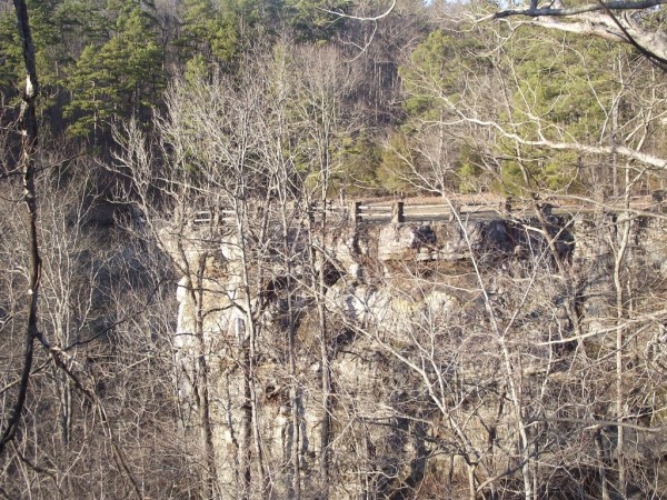
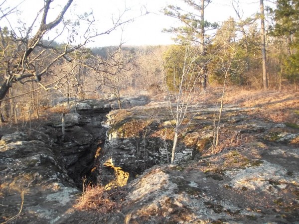
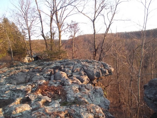
Also there are some really cool bluffs and geologic formations that run for a half-mile or so past the waterfall area.
[Last revised: 3-15-2018]
