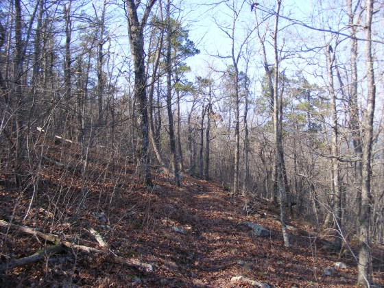
Today, my friend David and I hiked what I have labeled segments 05-C and 05-D of the Ouachita Trail.
Go to MapThis is a 5-mile segment of the trail that starts just a few miles east of Big Brushy Campground and extends across Blowout Mountain and the Blowout Mountain Scenic Area. It begins at Forest Road 33 and ends at Forest Road 274.
There are no designated parking areas so we each parked along the side of the forest road with a note indicating that we were hiking on the trail.
CLICK – Google Maps Directions to FR 33 Junction near Mile 96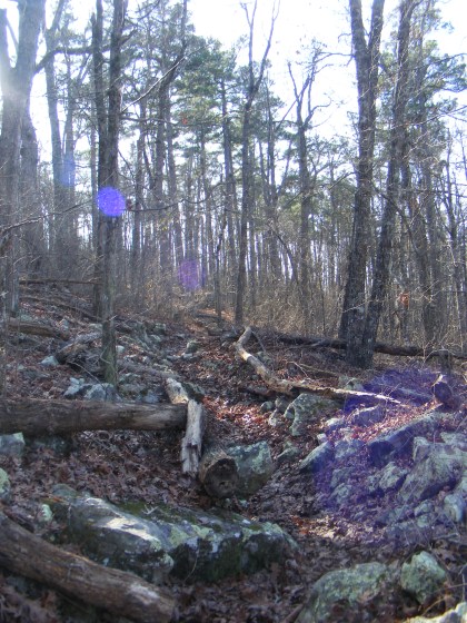
. The climb up Blowout Mountain is fairly strenuous with an elevation change of around 900 feet (if approaching it from the east). The summit is at 1,600 feet or so above sea level.
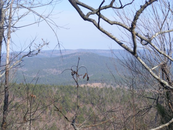
The views of the Ouachita Mountains from the top are very pretty. It was chilly in the morning with temps in the 30’s, but was nice hiking weather overall.
I have posted some photos I took of this trail segment and my GPX file.
Map
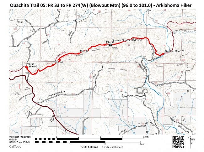
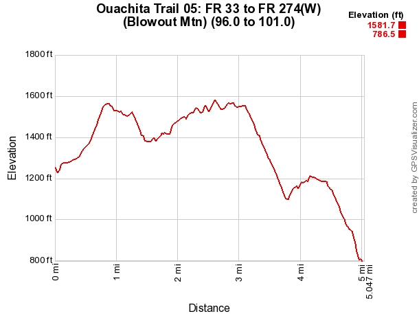
Ouachita Trail 05: FR 33 to FR 274(W) (Blowout Mtn) (96.0 to 101.0) | |
|---|---|
| Location | Montgomery County, Arkansas |
| Hike Length/Type | 5 miles each way. (10 miles out and back.) Blue blazes. |
| Difficulty | Strenuous (4 of 5) |
| Other Permitted Usage | Mountain bikes. |
| Gpx file by Mike | Link |
| Date Hiked | 01-02-2010 |
| Directions | Google Maps Directions to FR 33 Junction near Mile 96 |
| Official Info | (479) 394-2382 (Mena/Oden Ranger Dist.) USFS Website FoOT Website |
[Last revised: 5-13-2018]
