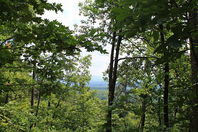
The Earthquake Ridge Trail is a short moderately challenging loop trail in the Ouachita National Forest, just north of Mena, Arkansas. It has one main loop and several additional loops, all at the southeast end of Rich Mountain.
On this hike, we are doing the main loop plus the Southern Loop. By my measurements, the entire walk is just under 3 miles.
The 2 loops together basically make one long loop that goes around a 1-mile stretch of the Talimena Scenic Drive.
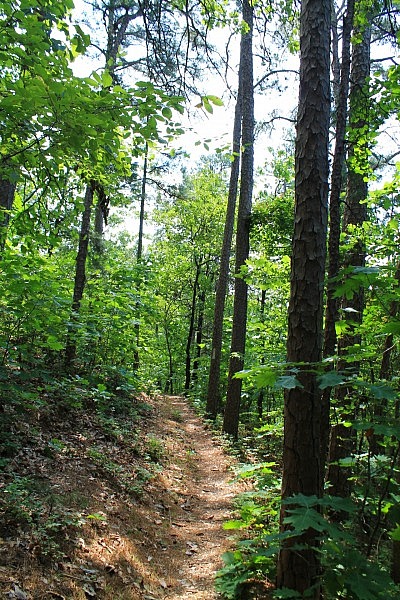
Getting There
The trailhead is easy to get to. It is at the Visitor Information Center at the east end of the Talimena Scenic Drive, just north of Mena on Highway 88.
Much of the time the center is not open, but the surrounding trails are always open. There is plenty of parking.
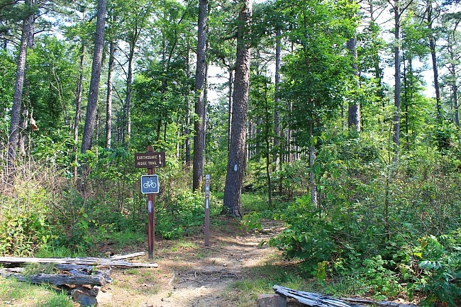
The main trailhead is on the north end of the parking lot. There is a sign.
The Hike
The first .1 mile heads north to the main Earthquake Ridge loop. (Follow the signs.)
At this point, you would take a right to go on to the Settler Loop. (I have not been on that part.)
Go straight to continue on the main loop. We are taking it clockwise.
If you do just the main loop, the loop will end up back at this spot.
From here, the trail makes a short dip and then proceeds uphill. It continues uphill in a northeast direction.
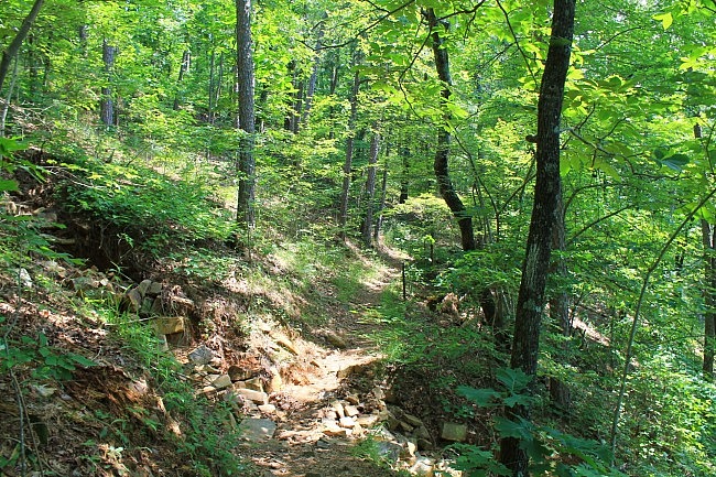
The first (east) side of the main loop is the more scenic part, to me. It is largely on a hillside ridge. There are some nice views through the trees to the north (on the right) although during leaf-on they are pretty limited. (They are probably better during leaf-off.)
It’s not really a rocky trail overall, but there are some interesting rocky areas.
At around .8, the trail turns a bit to the left, heading due north.
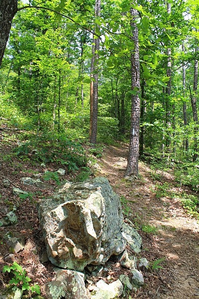
Then around 1 mile, the trail reaches the elevation highpoint (1,730 feet elevation, about 330 feet higher than the start). The trail turns left, crosses the highway, and starts heading back south.
Shortly after crossing the highway to this side, there is a connection on the right for the Rich Mountain Trail. This long-distance trail heads up the mountain eventually connecting to the Ouachita Trail.
On the west side, the trail continues the loop and heads back downhill. The terrain on this side is a bit less steep than on the east side.
There are a few spots with a view in the distance, but there is not as much as on the east side. There are quite a bit fewer rocks on this side than on the east side.
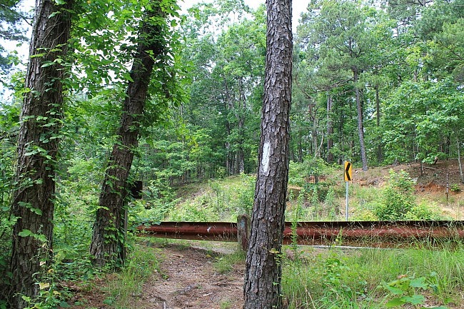
At around 1.9, the trail reaches the intersection with the Southern Loop. At the fork, stay left to cross the highway again and return to the start of the main loop. Take a right to continue onto the Southern Loop. (There may or may not be a sign here.)
On the Southern Loop, the trail continues going further south on the west side of Highway 88. The trail continues to descend downhill a little further, but then starts to level out. Much of the Southern Loop has a fairly low-lying feel to it. It starts to climb back uphill some shortly before crossing Highway 88 again.
After crossing the highway back (to the east side), the rest of the Southern Loop is basically a dirt road.
The Southern Loop ends back at the parking VIC parking lot, on the south end.
Final Notes
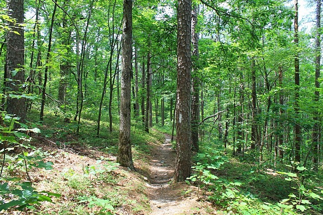
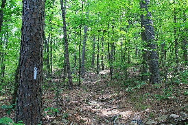
I thought the trail was enjoyable, easy to follow (with white blazes), and in good condition. It appeared to be frequently travelled.
The trail is named for a rock formation that is not far from the trail. (I have not seen it, but I am told that it looks like it has a large crack running through it as if the result of an earthquake.)
I had AT&T cell coverage about 80% of the hike.
Check out the USFS map (pdf) for info about some of the other trail loops.
These photos are all from my June 6, 2015 hike.
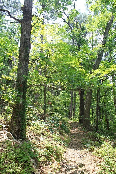
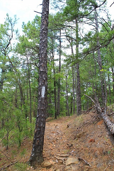
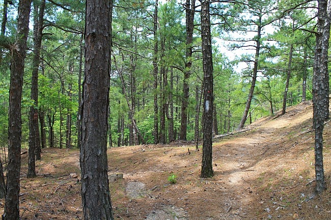
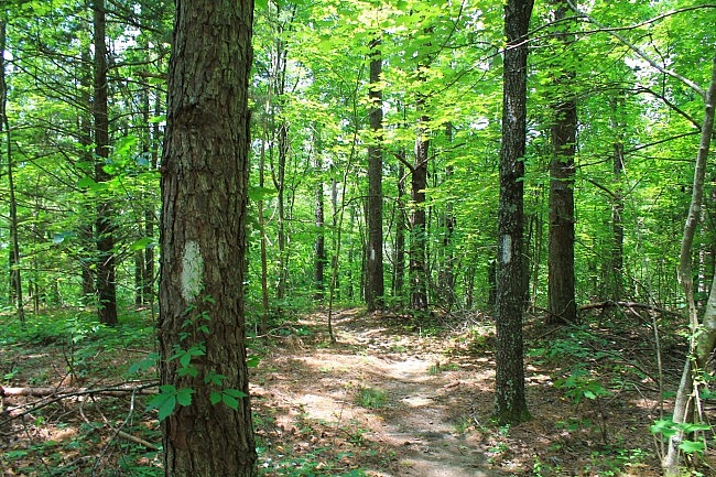
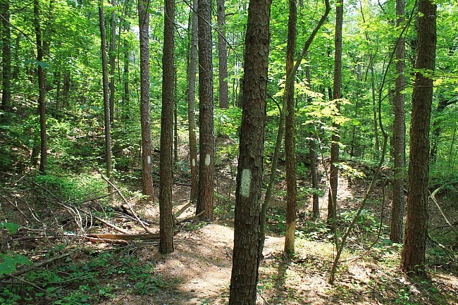
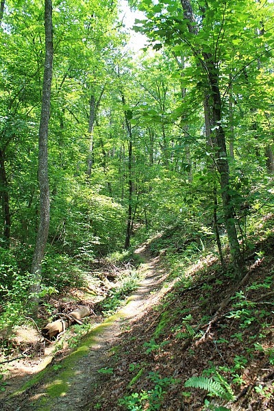
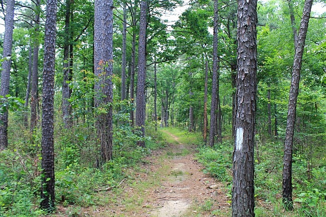
Photo Gallery
Click below for full-screen photo gallery of these plus more pics from my June 6, 2015 hike.
Map
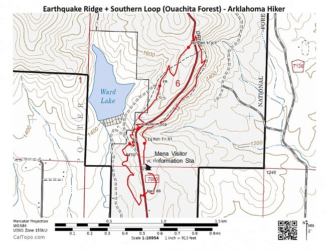
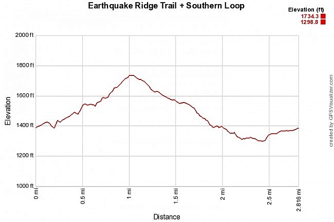
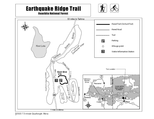
Earthquake Ridge Trail with Southern Loop, Ouachita National Forest | |
|---|---|
| Location | Polk County, Arkansas |
| Hike Length/Type | 2.8 mile loop (including the Southern Loop). White blazes. |
| Difficulty | Moderate (3 of 5) |
| Other Permitted Usage | Mountain bikes. |
| Gpx file by Mike | Link |
| Date Hiked | June 6, 2015 and earlier |
| Directions | Google Maps Directions to Trailhead (East End Visitor Information Center) |
| Official Info | (479) 394-2382 (Mena Ranger District Office) Website USFS Trail Map (pdf) |
[Last revised 8-22-2021.]


