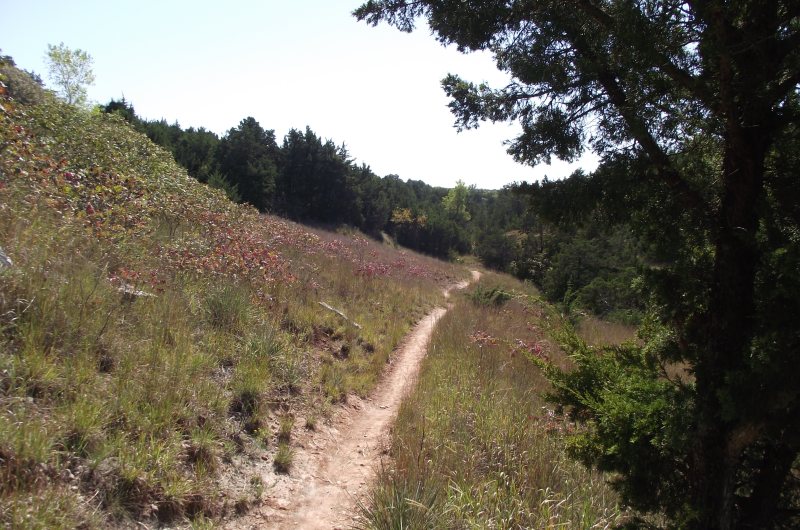
The two trails I like best at Roman Nose State Park are the Mesa Loop Trail and the Switchback Trail. This 6.8-mile loop hike includes both of those trails and more.
.

As I said in this post, navigating the trails at Roman Nose can be a challenge. There are no blazes, there is only limited (and sometimes inaccurate) signage, and in many areas there are (unhelpful) connecting spurs galore. Despite that, you are not likely to get lost since there is so much visibility in these areas.
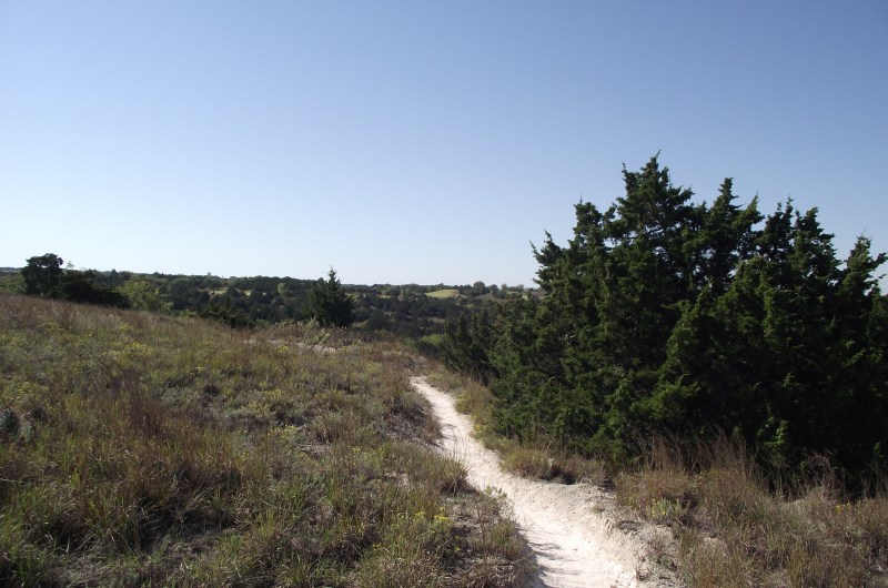
This hike covers the Lake Loop Trail, most of the Mesa Loop Trail, most of the Lakeshore Loop Trail, the Switchback Trail, and then finishes with a short road walk from the 2 Lakes Trail Entrance back to the start.
Begin at the Lake Loop trailhead. (The Lake Loop Trail actually forms an upside down horseshoe rather than a full loop.) This trail will take you across the Watonga Lake earthen dam and then toward the Mesa Loop Trail. After the dam, take a right at the first fork. Then turn left when you reach the Mesa Loop Trail.
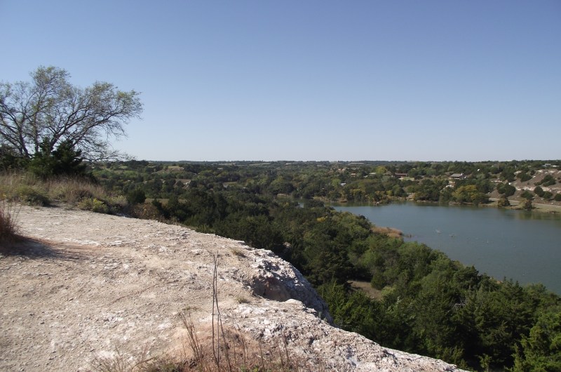
The Mesa Loop Trail goes south along the east side of the mesa, and then starts heading north as it climbs up to the big mesa. At Inspiration Point, the trail turns and heads south again, this time along the western part of the mesa. Eventually, the trail climbs down the south end of the mesa.
When you reach the “I” directional sign, turn right. As you are heading northward again, you are on the western part of the Mesa Loop (which is also the eastern side of the Lakeshore Loop).
Take a left at the next directional sign (to stay on the Lakeshore Loop Trail). The Lakeshore Loop will curve and begin heading southward near the shore of Watonga Lake.
Eventually, the trail ends up back at the “H” sign (just a little bit south of the “I” sign). Here the trail turns south and heads into a wooded area.
At “F”, you continue straight (southward) entering the aptly-named Switchback Trail. For about the next two miles you will do a lot of zig-zagging as you work your way through another semi-arid area with some very nice overlooks.
The Switchback Trail ends at “E”. From here, you head in a generally northwesterly direction back up toward the 2 Rivers Trail Entrance by the park store. You will pass “D” and then “C” (the end points of the Canyon Spur).
Stay left at “B” and also at “A” to avoid entering the nature trail.
Then you will shortly come up to the Two Lakes Trail Entrance. To complete the loop, walk up to the main park road (just past the store) and take a right. Stay on the left when you come up on the Canyon Vista campground. Eventually, you will be back by the Lake Loop trailhead where you began.
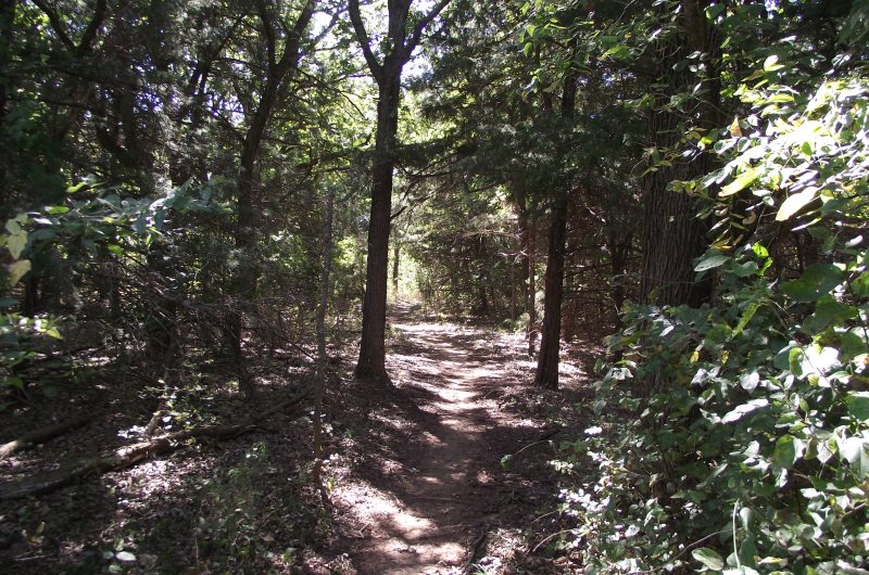
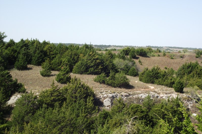
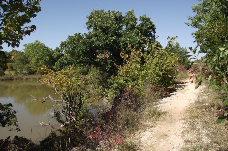
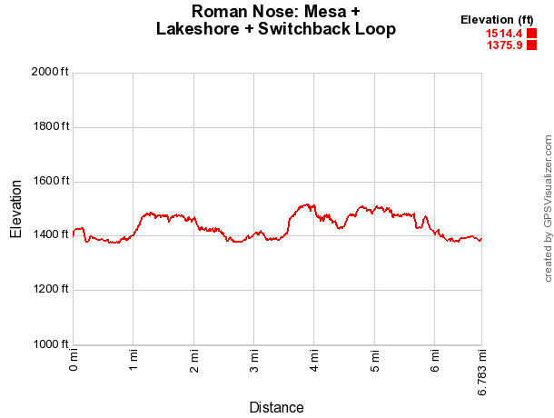
The entire loop is about 6.8 miles (including the .4 mile walk along the road back to the beginning). None of it is very difficult. There is only about a 150-foot elevation difference between the highest and lowest areas along this loop.
Although the forested areas near the lake shores are nice, I most like the Mesa Loop Trail and the Switchback Trail because of the scenic overlooks and the interesting semi-arid landscape. Be sure to exercise caution with children due to some of the drop-offs on the mesa.
All of the trails in the park are open to mountain bikes. Most are also open to horses. (The Lake Loop Trail and Switchback Trail are not.)
Map
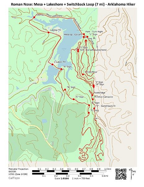
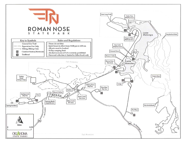
Lake Loop, Mesa Loop, Lakeshore Loop, and Switchback Trails - Roman Nose State Park Location Roman Nose State Park, Blaine County, Oklahoma (near Watonga) Hike Length/Type 6.8 mile loop (including the .4-mile walk back on the road) Difficulty Moderate (3 of 5). Other Permitted Usage Mountain Biking (all), Horses (all but Lake Loop and Switchback) Gpx file by Mike Link Date Hiked 10-09-2010 Directions Google Maps Directions to Lake Loop Trailhead Official Info (580) 623-7281 Website Official Park Map (pdf)
Last revised: 9-21-2019.
