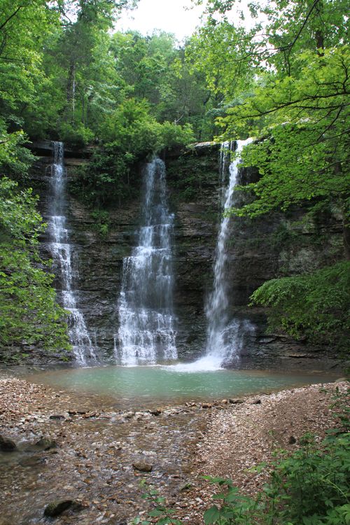
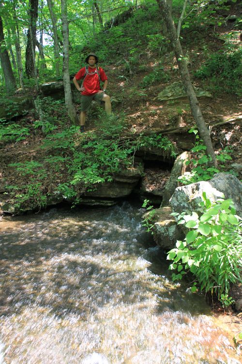
Triple Falls (aka “Twin Falls”) at Camp Orr may be our favorite place in the Buffalo River area (so far).
The waterfall is fed by two water sources. (That is the reason for the alternate name “Twin Falls.”) The primary source is a fresh-water spring. This allows for water to flow year-round at this spectacular spot. The third waterfall, which is fed by a creek, may not be present during the dry season.
There are several ways to get to Triple Falls — there is a simple, short and flat route up from Camp Orr, a Boy Scout camp along the Buffalo River. (Word is that the final bit of this road to the camp is VERY rough, so if you don’t have a four-wheel drive, this may not be the route for you. There is also a pull-out parking spot that allows for quick access off of the main road to Camp Orr . This is the route described in Tim Ernst’s waterfall book.)
Michelle and I wanted to see the falls but also wanted to include a little hike. So we started out along the Buffalo River Trail at Kyles Landing and headed out toward the falls.
Hiking to the Falls Via Kyles Landing
To find the trailhead, go all the way down to Kyles Landing, and turn left at the campground. Drive back to the very back of the campground, and the trailhead is right there. You start out on the Old River Trail, but quickly turn left and head toward Erbie on the Buffalo River Trail.
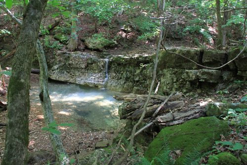
From this spot, the BRT heads upstream up Bear Creek, and then heads up the hill. (Bear Creek is usually dry. When it’s not, there is a small waterfall with a small watering hole (pictured above) that is along the trail to the left.)
There is about a 500-foot elevation change on this stretch of the trail, but it passes through some pretty awesome rock formations that are well worth taking some time to explore and taking a few photos. (A photo of me hiking through a stretch of the trail is just below.)
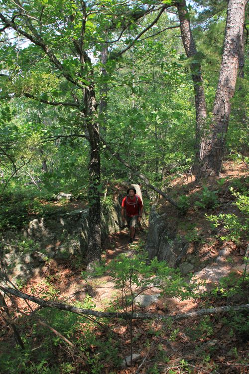
Eventually, at about one mile into the hike, you’ll cross the very same road that you drove down onto Kyles landing. If you’re pressed for time, or want to avoid the first 500-foot climb, then there is a parking space just up the road from here where you can park and start the trail. You will miss the small little waterfall and the bluff formations though.
Continue on the trail just across the road. You’ll go through some wooded terrain where there are some good views during the late fall and winter when the leaves are off the trees. We did this hike in the spring, so we only caught a few glimpses of the views of the river from above.
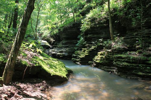
At some point, the trail turns pretty rocky and heads back down the hill. This is another 500-foot elevation change, so you’ll have to climb back up out of here when you’re done. You eventually cross over the stream that feeds Triple Falls. (Don’t panic if the stream is dry, the majority of the water for the falls comes from the spring down river from here.)
The trail then turns left and follows along the creek for a stretch. During high-water season in the winter and spring, there is a beautiful little spot down here that you’ll be able to see from the trail. It’s well worth heading down to check out. (See photo above.)
The trail eventually veers right away from the stream and hits the power lines At this point, follow the trail through the power-line area. This eventually leads you to the top of the falls.
The Falls
When you get to the top of the falls, you’ll at first see the spring (pictured above). Check this area out, but don’t get too close to the edge!
To get to the bottom of the falls, go out to the right and find one of the trails that head down. There really isn’t a good way here, as all trails are steep and require some scrambling. (If you’re on the trails, they aren’t particularly dangerous, just steep.)
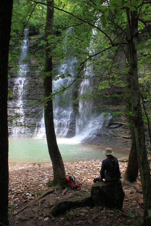
When you get to the bottom, enjoy the beautiful, 48-foot waterfall. I really love this place.
As usual, I recommend you take some time out, have a peanut butter and jelly sandwich and enjoy some time there before heading back (as Michelle is doing below). When you’re finished, head back the way you came.
Distance: While the falls can be accessed only a short ways from the road, this hike is 4.4 miles round trip. You can save about 2 miles if you park in the little parking area along the road to Kyles Landing and start from there.
Difficulty: Strenuous
Footwear: I wore my trail runners, but I think Michelle was happy to have her hiking boots on.
Time of year: Water will flow on two waterfalls year around, but if you can catch the third falls during high water season (winter/spring) it really is spectacular.
Trail guide: The falls is in Tim Ernst’s Arkansas Waterfalls book. However, the hike can be done by following the Buffalo River Trail: Kyles Landing to Erbie in Tim Ernst’s Buffalo River Hiking book. The waterfall he mentions along the trail is Triple/Twin falls. (He doesn’t mention it by name.)
[Check out this post for video of Twin Falls/Triple Falls.]
[A version of this post was originally published on June 22, 2011 in the blog “Exploring Northwest Arkansas.”]

