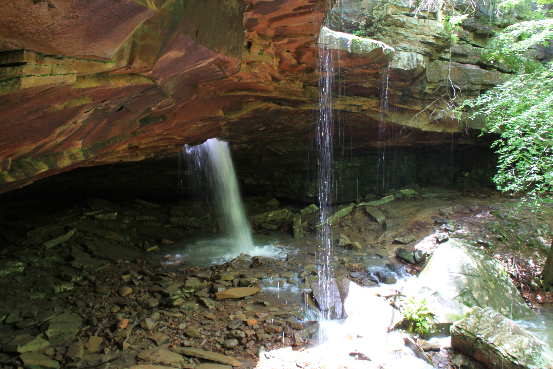
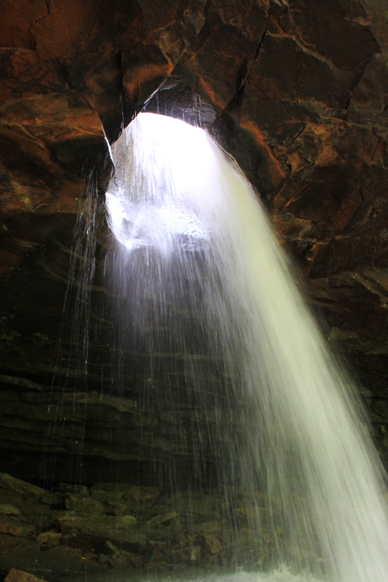
Glory Hole Falls is one of the most unique waterfalls in the Ozarks. The waterfall is formed by a stream that flows through the ceiling of an overhang cave.
When the water is really flowing, the hike to this unique adds to the spectacular appeal of this short trail.
Getting to Glory Hole Falls Trail
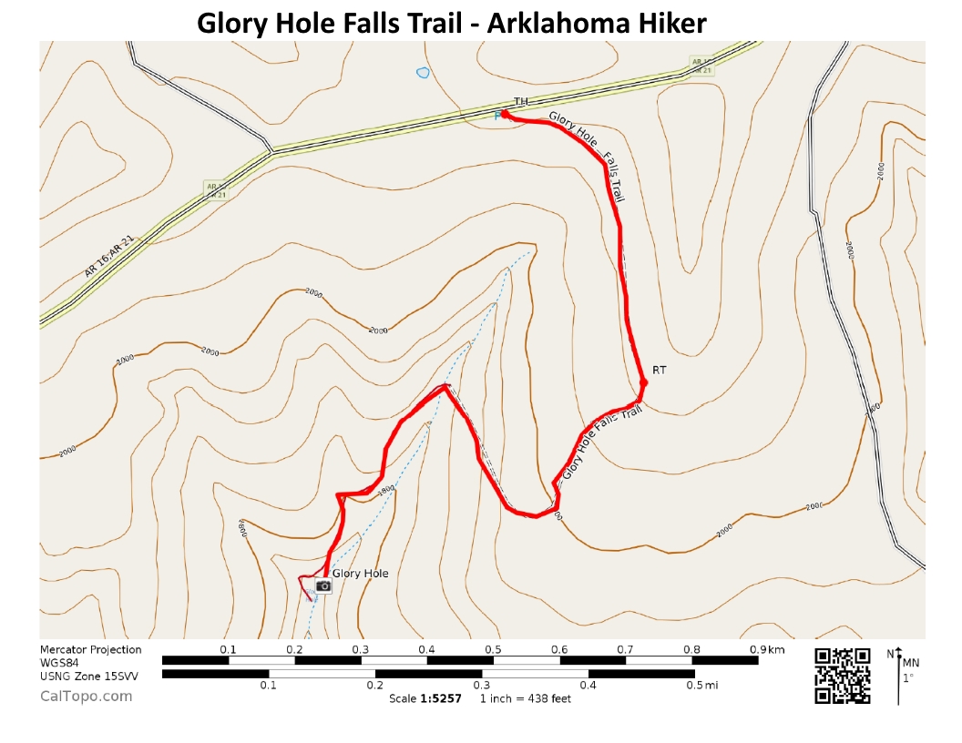
The Glory Hole Falls trail is in Newton County in the Big Piney District of the Ozark National Forest.
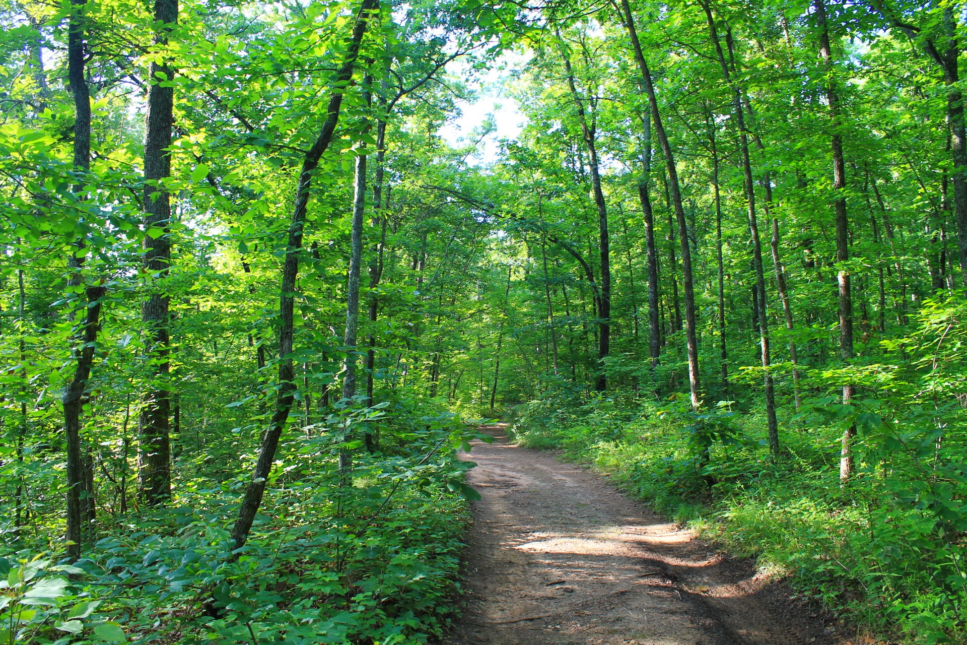
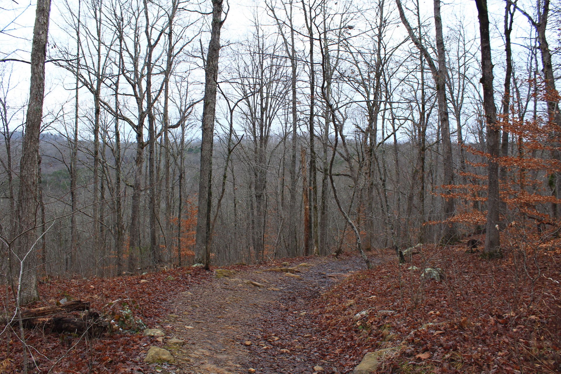
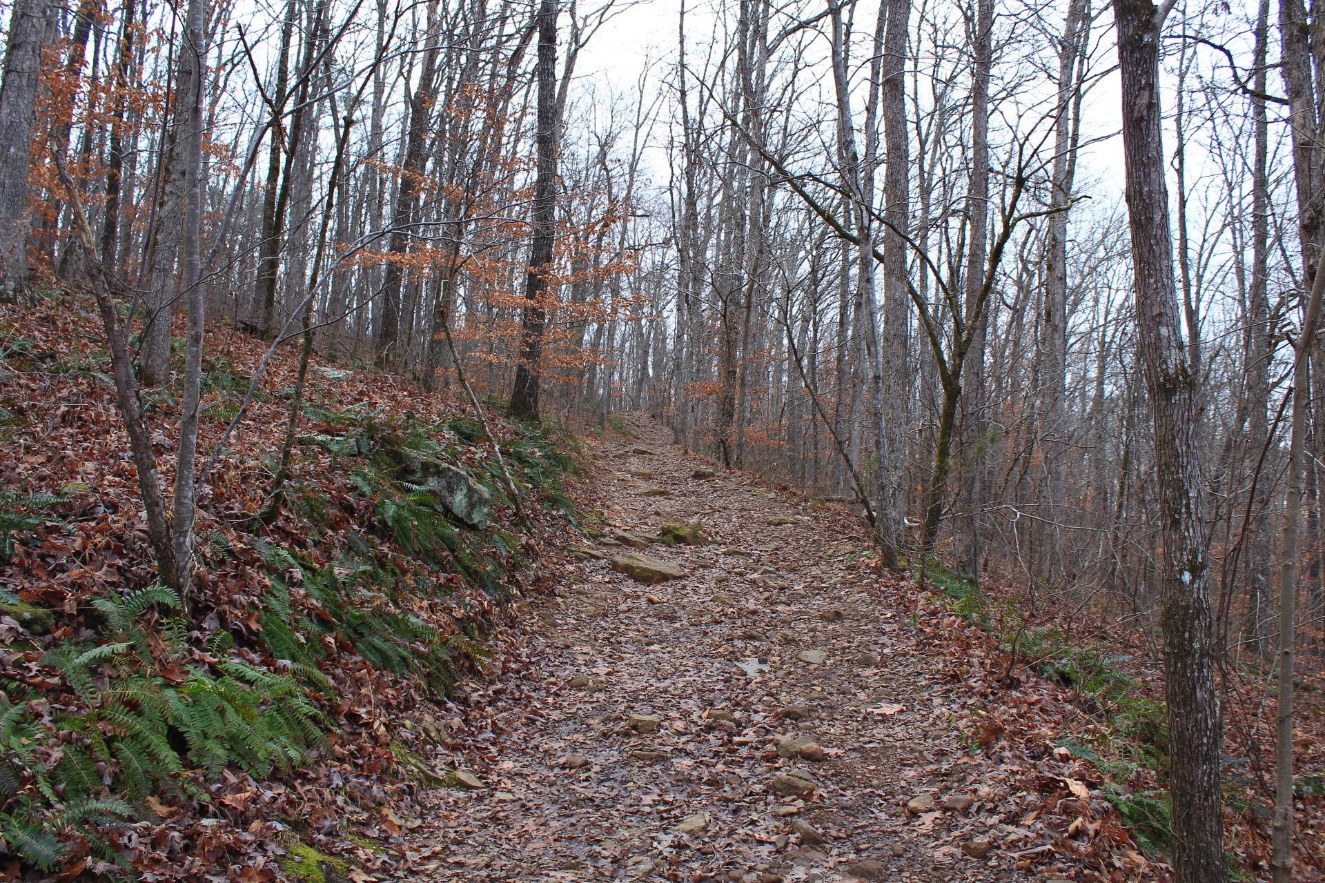
This is a well-maintained trail, much of it following along old jeep roads. However, there is no official trailhead and no official parking area.
The trailhead is off of Highway 16, about 5.7 miles east of Fallsville. The trailhead is about .5 miles east of a red barn on the north side of the road with a large white “E” on its side. The trail is on the right (south) side of the road.
You should notice a large dirt/gravel area on the side of the road which is used as a parking area.
There is now some good signage here that indicates an official trail head for the “Glory Hole” which has made access more visible and added to the popularity of this trail. V
The Trail
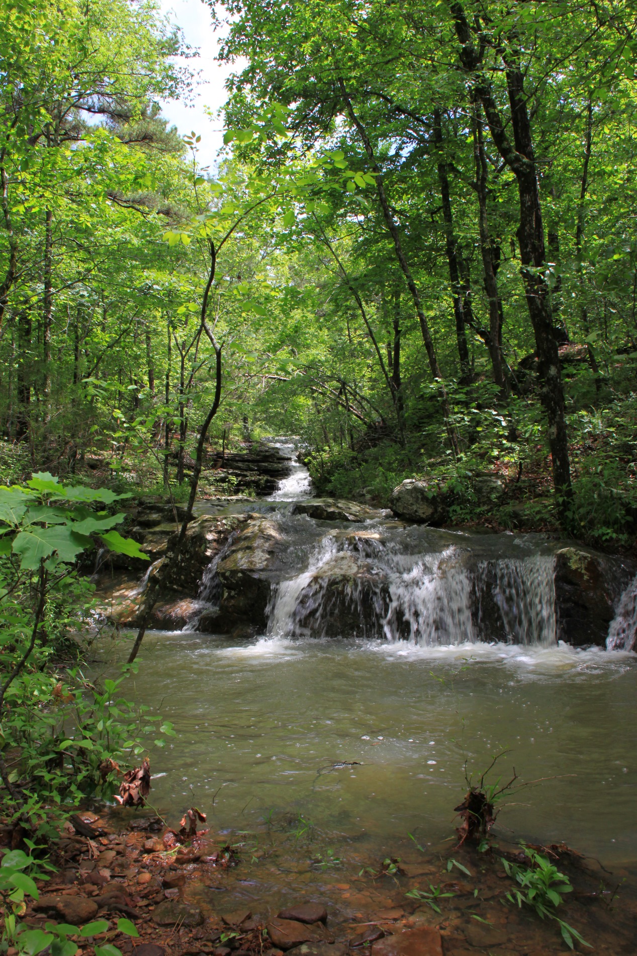
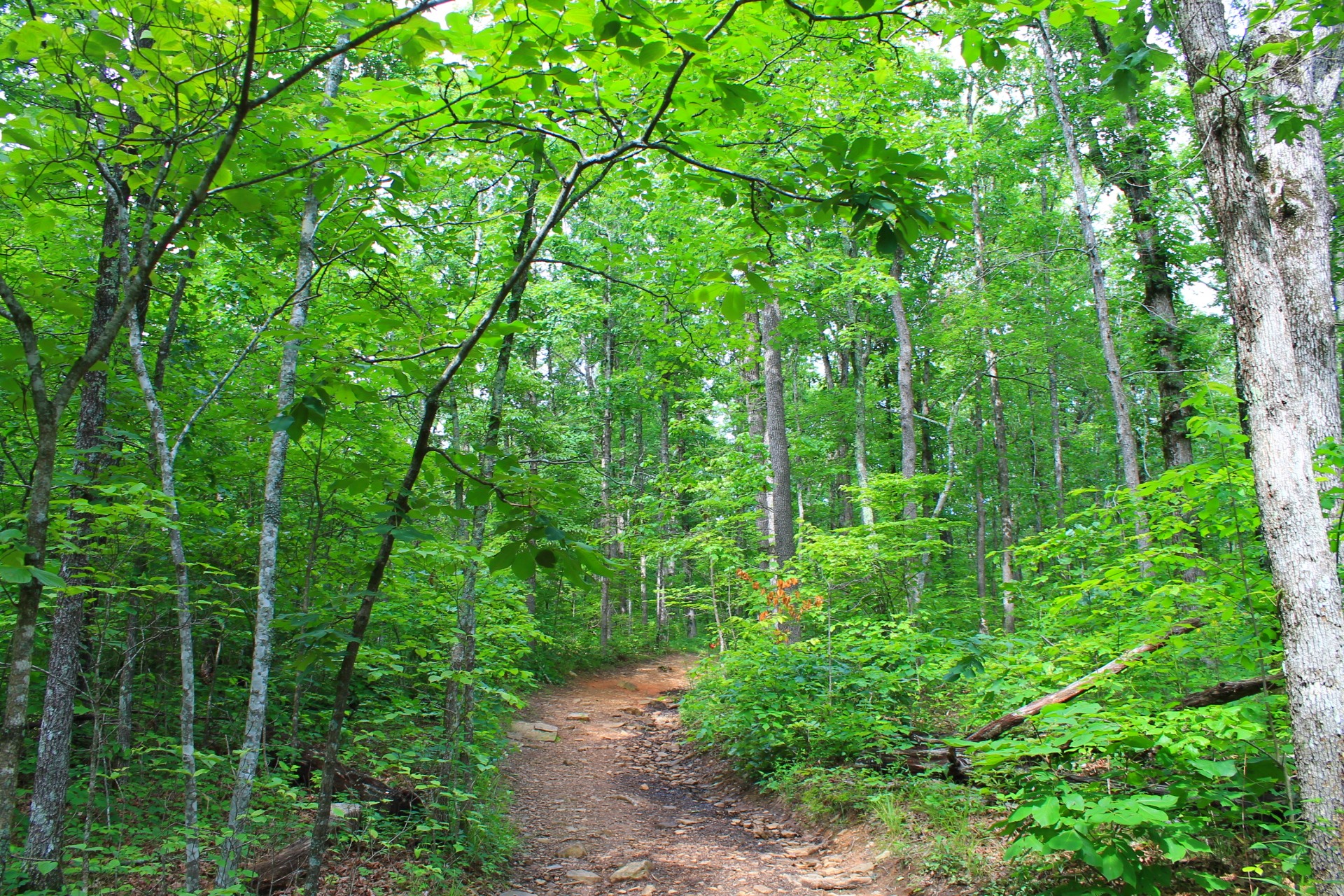
The trail starts off down an old road for a stretch and then hits a trail intersection. Take the road to the right, which then curves to the right and drops down a pretty steep slope. (It won’t feel like much going down, but you’ll definitely notice it more coming back!) Eventually, you cross the stream that leads to the falls. If the stream is really moving here, you’re in for a real treat at the falls.
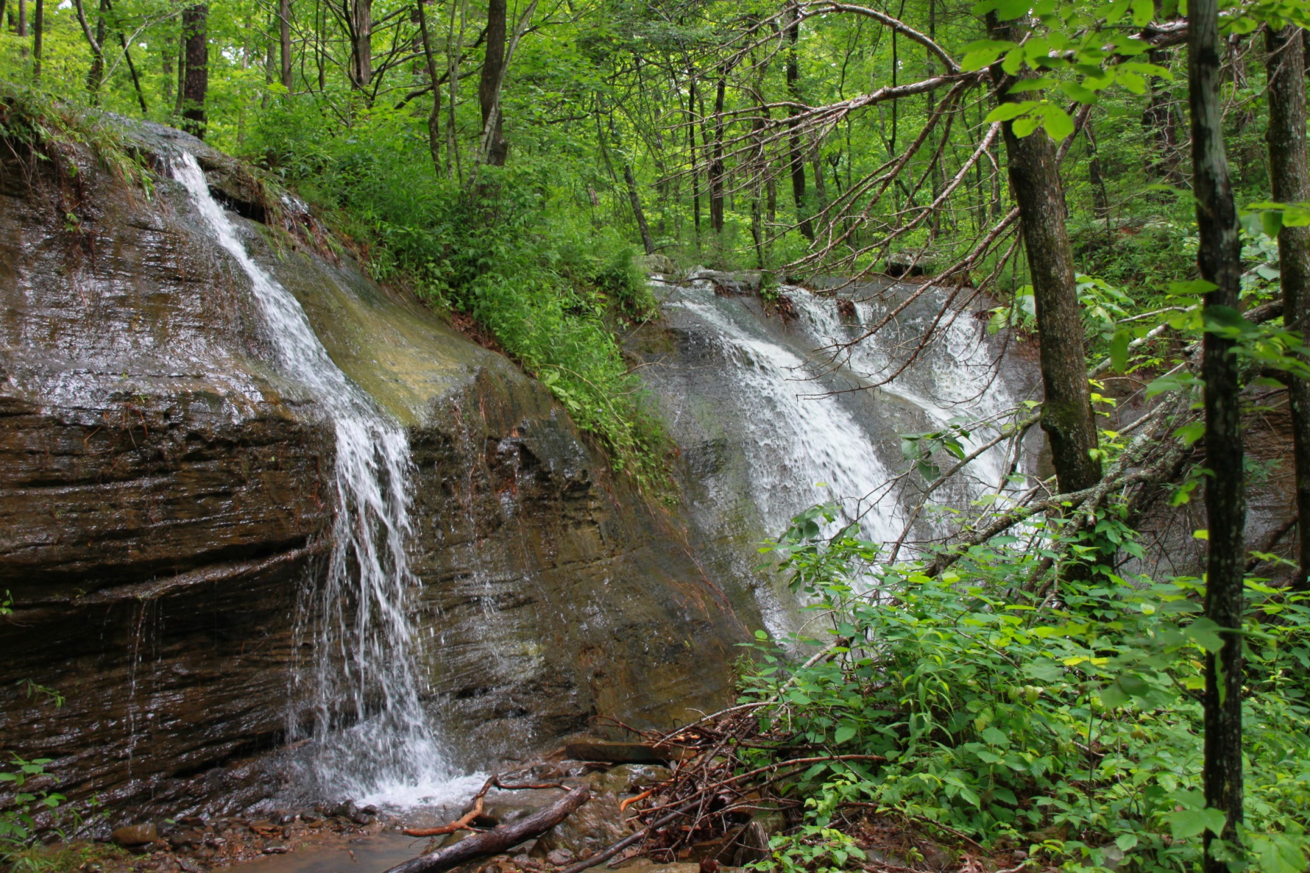
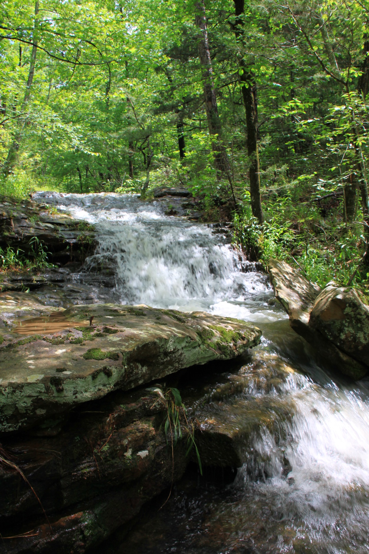
The main trail stays up high from the creek, but there is a place where you can venture down and follow along the main creek to the falls itself. This pathway is a bit rougher than the maintained trail above, but there are some gorgeous smaller waterfalls and cascades along this stretch that themselves would be worth hiking to.
After about a mile, you get to the top of Glory Hole Falls. You can get pretty close to the hole itself, but the rocks around the area are very slick. Be very careful here. Falling in this area could result in serious injury.
After taking a few pictures from the top of the falls, you can loop around and venture down to the bottom of the falls.
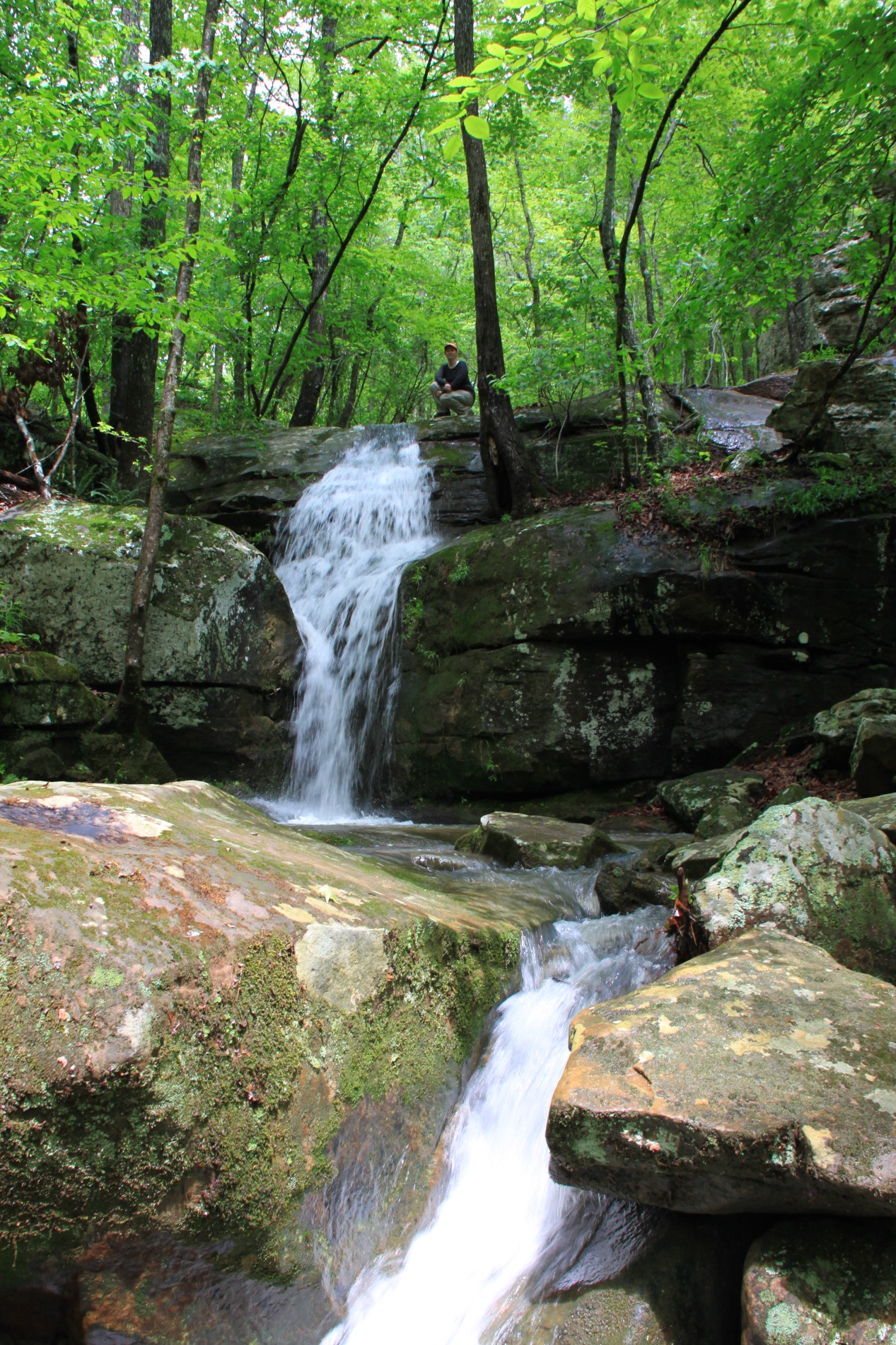
When the water is high, there is also a nice little waterfall here. (The sixth picture on this page is of my wife Michelle, squatting down next to the top of that waterfall.)
As you loop back around to the right, you get to the base of the Glory Hole Falls and can see the water pouring through the hole above.
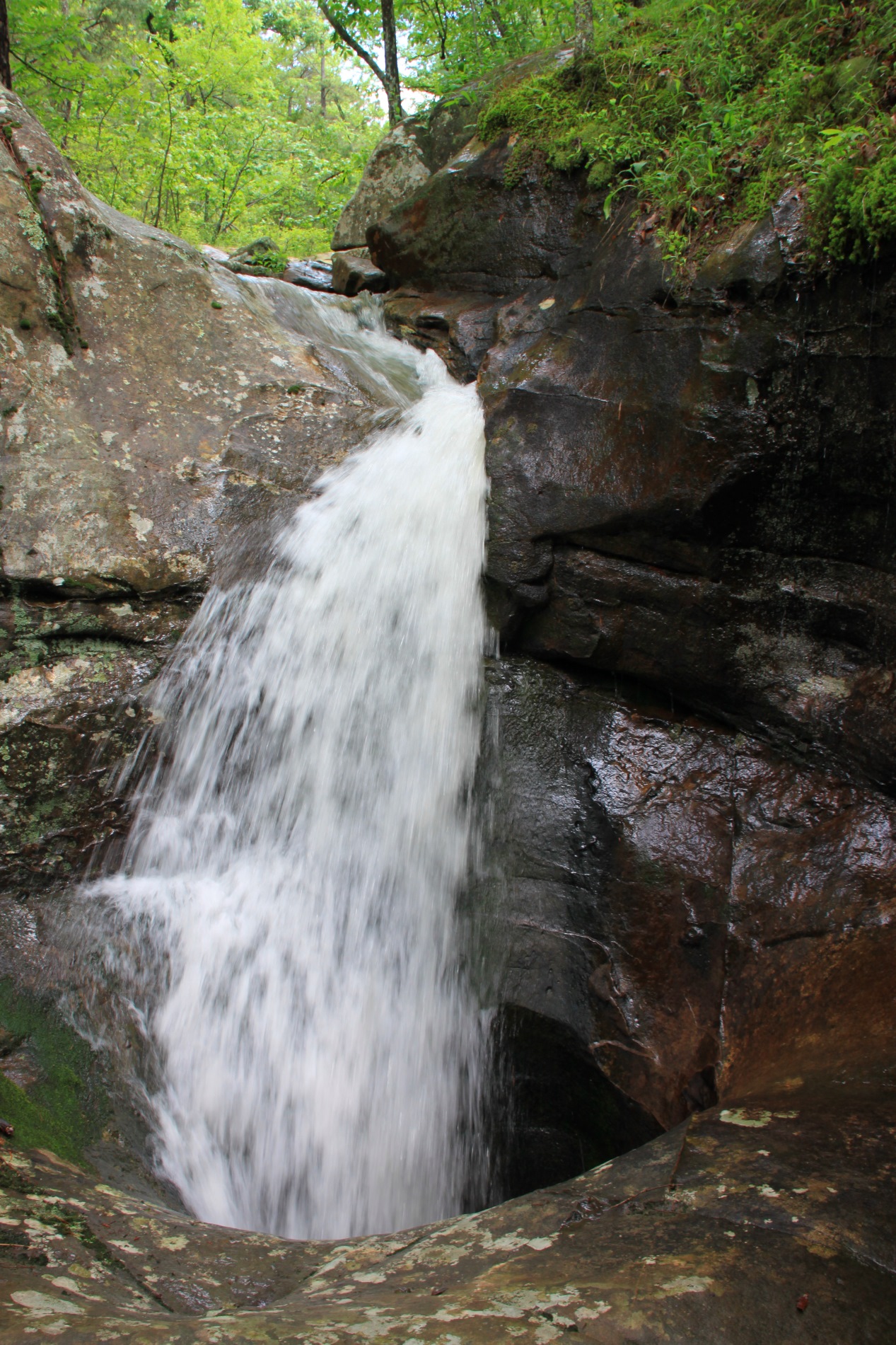
This really is one of the most spectacular waterfalls in the area. Its height is about 30 feet and the uniqueness of it flowing through a hole literally burrowed through rock is very impressive!
Plan to spend a little time in the area. We usually like to pack a picnic lunch and hang out here for a bit before heading back up the hill to the car.
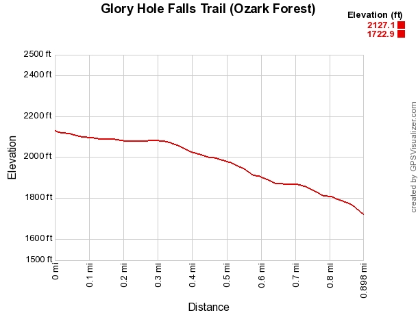
The hike out is tougher (and more uphill) than the hike down, but it’s not too bad. Seeing this amazing and unique waterfall area is well worth the 2-mile round trip.
Final Notes
The day I took most of these pictures in May 2011 we had high water after a previous day of rain.
I would strongly recommend checking out this area during the rainy season (winter and spring) for the best water flow.
As for footware, I recommend trail shoes or hiking boots, although tennis shoes would be fine.
Below are some pics of the trail that Mike took in June 2014 and December 2020.
You can read more about this falls in Tim Ernst’s Arkansas Waterfalls.
Check out these posts for more photos (and video):
- Glory Hole Trail (Ozark Forest) in Winter
- Glory Hole Falls Trail (Ozark Forest) Summer Pics
- Glory Hole Falls Trail (Ozark Forest) Winter Pics
- Glory Hole Falls (Ozark Forest) Video Winter
Photo Gallery
Click below for full-screen photo gallery.

Map
Glory Hole Falls Trail (Ozark Forest) |
|
|---|---|
| Location | Big Piney District, Ozark National Forest, Newton County, Arkansas |
| Hike Length/Type | .9-mile out-and-back (1.8 miles total) |
| Difficulty | Mildly challenging (2 of 5) |
| Gpx file (by Mike) | Link |
| Date Hiked | May 21, 2011 |
| Directions | Google Maps Directions to Glory Hole Falls Trailhead |
| Official Info | (479) 754-2864 Big Piney Ranger District - Jasper Office Ozark National Forest Website |
A version of this post was originally published on June 16, 2011 on the blog “Exploring Northwest Arkansas.”