[This post was originally published on March 31, 2011 on “A Hiking We Will Go.”]
 This past weekend, we opted for some easier hikes. With cold gray skies overhead and the looming threat of rain, I didn’t want to get too far from my blanket.
I had wanted to check out the Historic Van Winkle Trail at Hobbs State Park, near Rogers, Arkansas, since I had watched a segment about the trail on AETN’s Exploring Arkansas. The trail is very easy and is more interesting for its historical information than for its hiking challenge.
Stuart’s comment was “that was a trail for little girls.” However, after the marathon backpacking challenge from a few weeks ago, that was the perfect level for me.
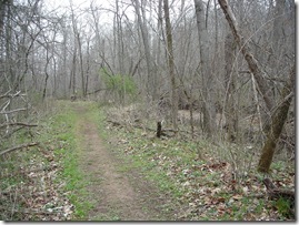
The trail is a half mile long and goes through the historic home and mill sites of the Peter Van Winkle family during and after the Civil War. The buildings are gone, with only the foundations remaining, but there are several interpretive signs along the trail that give the history of the area and provide pictures.
It’s hard to believe the area was an industrial hub in the 1800’s, providing much of the timber and milling services for the northwest Arkansas area.
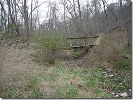
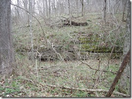
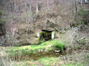
The pictures below show what remains of the spring house and the raised garden. There is also a stream, which I believe is Little Clifty Creek.
After Van Dorn was defeated in the Battle of Pea Ridge, he led his troops to this site to restock supplies. At the back of the trail was the old roadway that the troops used to travel from Elkhorn Tavern in Pea Ridge to the mill. It would have been quite a walk!
After finishing the Van Winkle Trail, we still had energy, as did the dogs, Buster and Katie. (Katie was running in circles full speed with the happiness that only a dog can display at being outside!)
After finishing the Van Winkle Trail, we still had energy, as did the dogs Buster and Katie (Katie was running in circles full speed with the happiness that only a dog can display at being outside!).
From the Van Winkle Trail, we took the tunnel under the highway that connected to the Sinking Stream Trail and continued our hike. This trail is also about a half-mile long and easy to hike. It follows Little Clifty Creek up one side and down the other, crossing the creek three times via bridges.
We finished the trail quickly and hopped in the car and decided to go to the trailhead on Townsend Ridge Road for the Hidden Diversity Multi-Use Trail.
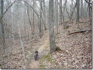 We didn’t have a good plan for this hike. I thought we were at the other trailhead. Our original intent was to hike the Bashore Ridge Loop which is 3 miles long and accessible from the Piney Road trailhead after a half-mile spur.
About a half mile in, when we reached a fork in the trail that split into the Little Clifty Creek Loop (9 miles) or the War Eagle Loop (5 miles), I realized that we were still several miles from the Bashore Ridge Loop.
So I learned a lesson about starting from the right trailhead and including the distance from the trail head to the loop in your calculation of total mileage.
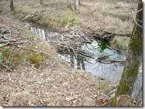
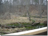
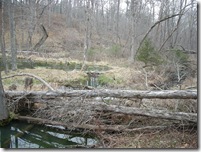
We carried on and came to an overlook built by the Boy Scouts that provides a nice view of a beaver habitat. We saw several beaver dams, but because we are as quiet as a herd of elephants all of the beavers had hidden from view.
We spent a few minutes looking for beavers, then we decided to head back. A few rain drops had fallen, and nobody wanted to get stuck in the rain.
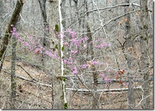
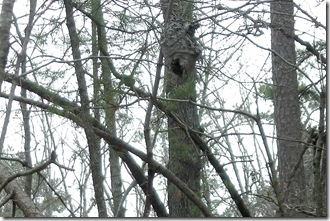
The redbud trees are just starting to bloom, and I saw one dogwood tree that was beginning to flower. In a couple of weeks, those should be in full bloom. We also spied a beehive, which I’d never actually seen before.
It was a nice afternoon. Once we were home, the dogs were very appreciative of a “normal” hike and glad they weren’t sleeping in a tent. They quickly settled in on the couch for a nap, and we settled in to watch some basketball thing on the television.
[The official website for the Hobbs hiking trails is at this link. The Friends of Hobbs site is here. You can download the Hobbs State Park official trail brochure pdf here.]

