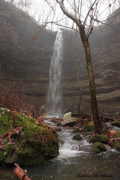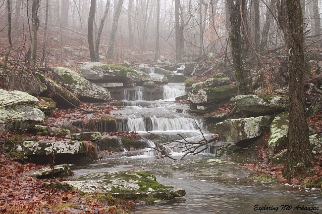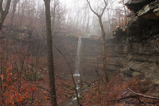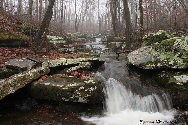
Back in late November, it was a particularly rainy weekend throughout most of Arkansas, and I was getting a dose of cabin fever and decided to try to get out for a bit. My typical hiking partner decided to sit this one out (something about cold and rainy), so I decided to go check out Hammerschmidt Falls in the Buffalo National River (northwest Newton County).
Hammerschmidt Falls is only a short distance from our cabin, but we had never hiked to it. It sits at a pretty high elevation, so I’ve always assumed it would take a lot of water to get going. But after 2 days of steady rain, I thought the timing would be perfect.
I was right.

Getting There
To get there, head to the area on Highway 74 between Jasper and Low Gap. If you are coming from the west (from Low Gap), go 2.4 miles east toward Jasper. Pull off onto the road that goes to Horseshoe Canyon Ranch.
Horseshoe Canyon is a very popular rock climbing destination and also boasts a half-mile zip line. There is a big sign at the road, so it’s tough to miss.
There is a small parking area right there as you turn onto the road that goes to Horseshoe Canyon. Park here.
For approximate Google Maps directions to this area, see this link.
Hiking to the Falls
The hike follows a small, old road on the opposite (north) side of the highway from the parking area. The road follows alongside a privately owned pond for a bit and then veers right and slightly down the hill.
After about a quarter-mile, the road is chained off with a “Wilderness Boundary” sign. The creek crosses the road here.
This is the creek that forms Hammerschmidt Falls. At the creek, turn left and head down the creek about 200 yards, and you will get to the top of the falls. The trail here isn’t an official trail, but it is fairly well worn.
Hammerschmidt Falls is a 43-foot tall waterfall that pours into a very nice hollow.
Caution: as always, be very careful around bluffs and drop-offs. A fall could result in serious injury.

There is a super nice cascade area above the falls that is worth checking out.
To get to the lower part of the falls, follow the “trail” about another 80 yards or so along the top of the ridge, and there will be a steep but accessible way to get to the bottom of the falls.

Hammerschmidt Falls is on the uppermost section of the Indian Creek Drainage. While you may be tempted to follow the creek downstream (the “trail” continues well past the falls), going down the entire drainage is not recommended.
For the vast majority of people, I recommend seeing Hammerschmidt Falls, and then checking out the rest of the Indian Creek area coming in from the bottom near Kyles Landing.
When you are done exploring, you can head back the way you came.
Final Notes
Hammerschmidt Falls is named after John Paul Hammerschmidt, a long-time Arkansas Congressman who helped get the legislation passed that made the Buffalo River the nation’s first national river.
The round-trip distance from the parking area to the top of the falls is roughly 1 mile. I rate the difficulty of the hike as mildly challenging (2 of 5).
You can read more about this waterfall in Tim Ernst’s Arkansas Waterfalls.
These photos are from my November 28, 2015 hike.
Photo Gallery
Click below for full-screen photo gallery.
[A version of this post was first published on November 30, 2015 on the blog “Exploring Northwest Arkansas.”]
Last revised: 3-19-2020.


