[This post was originally published March 19, 2011 on “A Hiking We Will Go.” ]
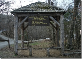 The Butterfield Hiking Trail is a 15-mile loop with the trailhead in Devil’s Den State Park near West Fork, Arkansas. The state park is located next to the Ozark National Forest. Ten miles of the trail run the national forest.
It’s a popular trail for backpacking. Most people spend one night on the trail, but we opted to spend two nights. The weather was awesome, and since we went mid-week, the trail was not busy.
After our foray on the Buffalo River Trail earlier in the week, we weren’t in the mood to overdo it. Dogs are allowed on the trail, so we took Buster and Katie with us on the adventure and hoped for the best.
The trail was named after one of the longest stagecoach routes in the history of the United States. Although it does not follow the route, it comes within two miles of the historic route through the Boston Mountains. Waterman L. Ormsby, Jr. of the New York Herald wrote an account of his trip along the route in his 1858 book The Butterfield Overland Mail in which he described the rugged terrain. He stated that the term “boston” was a western expression used to describe anything tough or difficult. It would definitely be a challenge to navigate the area!
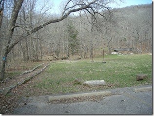
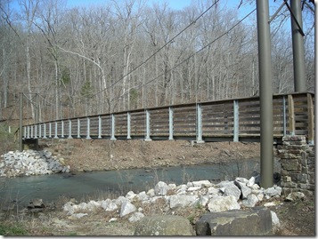 The first part of the trail starts at the cedar shelter and crosses Lee Creek via a suspension bridge, built in 1989 by the Army Reserve. The original bridge had been washed out in a flood. Katie was not wild about the bridge as it was bouncy, and the creek was up making it a little noisy. She managed to make it across with a little coaxing.
After crossing the bridge, the trail turns to the right and travels along Lee Creek toward the dam. From the bridge, you can see the dam to the north.
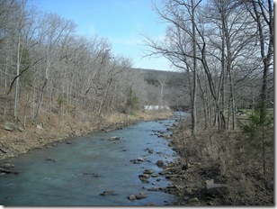 Halfway to the dam, Katie suddenly realized that this was not a typical walk and sat down in a refusal to go any further. We were not even half a mile into the hike and there was a bit of a debate about whether we should even attempt the trip.
Fortunately, the magic word “walk” convinced Katie this would be a fun trip. At this point, the trail was flat and easy. After the steep climbs earlier in the week, we were reveling in the bliss of level ground.
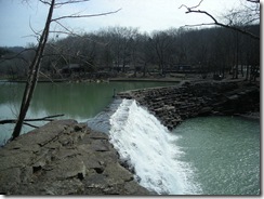 The dam always provides a pretty view and a nice photograph. Constructed in 1937 by the Civilian Conservation Corps, it created a lake that was originally used as a swimming area. (A pool was also built in the 1960’s to fulfill that need.)
The trail travels through the flood plain, and I swore I could hear ducks, but I couldn’t see them. We must have walked right past the sneaky little birds. The trail crosses Highway 170 and goes along the paved park road through the campground at Area A. At the end of the campground, the trail heads to the right and crosses Lee Creek, the only major water crossing on the trail. 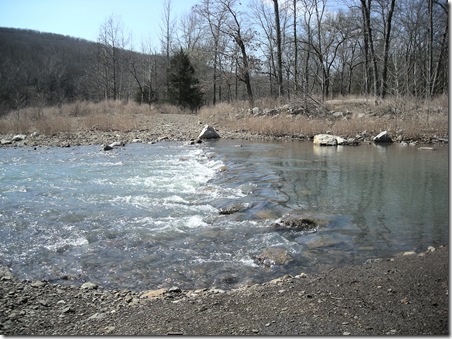
We switched to our water shoes, and the plan was that I would carry Katie across the creek and lead Buster on his leash. Stuart would carry his pack over, then go back and get my pack.
The creek was up because of rains earlier in the week and was about knee-deep and pretty chilly. Stuart started across, and I followed carrying my Katie-dog and leading Buster.
Once the water hit Buster’s chest, he refused to go any further. I tried every coaxing, convincing term I knew, but he was adamant he would not continue. My feet were starting to get numb, and Buster was trying to wriggle out of his harness, so I unclipped Buster’s leash, and Katie and I made the crossing without him.
I thought that once we were all on the other side, we could convince him to follow us. We commenced calling him, with the help of a couple of other campers that had made the crossing to get water, but he would not budge. He nervously walked up and down the bank and looked at us like we were crazy. Stuart headed across the creek, grabbed his leash and tried in vain to pull him across the river.
Finally, Stuart picked him up and carried him across the slippery rocks. About halfway across, some deeply embedded instinct kicked in, and Buster decided to start puppy-paddling in Stuart’s arms. It was a funny sight to see him being carried across the river and “swimming” at the same time.
Surviving our water crossing, we continued on through the excavation area. There are walk-in camps along this section, and several campers were taking advantage of the nice weather and had their tents set up. The next mile and a half passes several old home sites and a cemetery, according to the brochure. But even with the signage, I couldn’t tell where they were.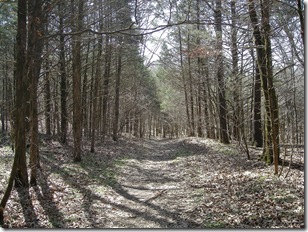
There is a 450-foot elevation gain along this area, but the slopes were gradual, and it was easy to make the climb. There were several long stretches of level trail, making for an easy hike.
About 3 miles in, the trail crosses Highway 74 and follows the old Holt Road for a bit. This marks the state park boundary and the entry into the Ozark National Forest. A friendly sign warns “Do not enter without a map, you will get lost.” We were fearless in our hiking though. We had three maps, and the trail is very well marked. So we carried on.
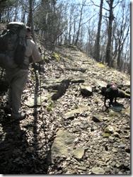
The trail was really muddy in some places, but all of the water also made lots of neat little waterfalls to see along the way. We tried to skirt around the places where the trail was flooded the worst, but the dogs, being dogs, were oblivious. Occasionally, Katie would decide the water would cool off her hot belly and just lie down in the middle of a puddle.
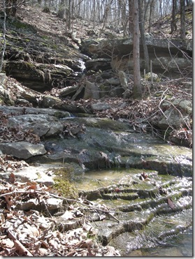 Between miles 4 and 5, the trail crossed a stream, then headed up to the top of an 80-foot bluff. We stopped at the stream to fill up on water, and I headed downstream to see if the stream turned into a waterfall. Katie decided this was a golden opportunity for a nap. (Since she usually has about ten naps a day, she was overdue.)
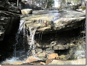 I was rewarded with a neat rock formation that had a tree growing out of the middle of two slabs of rock and a nice waterfall effect. Looking further downstream, the Quaill Valley was visible with it’s huge rock formations. After taking a breather, we headed up the hill to the bluff and the view into Quaill Valley.
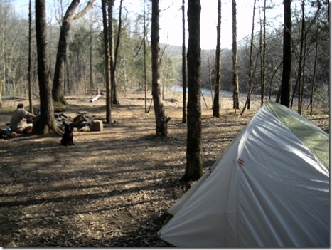
The trail along the bluff looked down into the valley on the left and on the right hand side, there was a cedar glade that was mostly level. 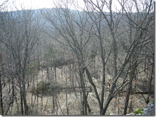 It was early in the afternoon, maybe about 2 o’clock, but we decided this looked like an excellent place to make camp and explore the area. We were almost to mile marker 5, which would be 1/3 of the trip, and we were close to a water source. We stopped and enjoyed the view into the valley and made camp.
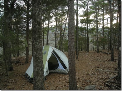
It was really windy that night with gusts up to 30 mph. The tent did a great job of keeping the wind out, and after a dinner of minestrone soup, we headed for the shelter. As the sun went down, so did we. We all cuddled up in the tent.
During the night, I woke up to what sounded like a herd of wild puppies. They were quite a distance away, and it sounded like the yips were echoing off the bluff walls. Katie and Buster were sitting straight up at the end of the tent wide-eyed and completely silent. I don’t know if they were thinking that it sounded like a puppy party or were disturbed by the chaos, but they didn’t make a sound.
A while later, the pack was closer and woke Stuart up, too. 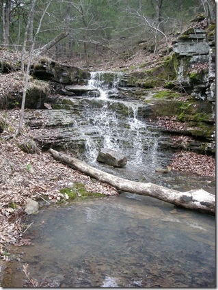 We concluded that it must be coyotes out playing under the bright moonlight.
The next morning, we were up early and puttered around camp for a couple of hours, enjoying the spring morning and a couple of cups of coffee. After breaking camp, we headed down the trail and descended into Quaill Valley, crossing another stream. 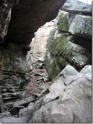
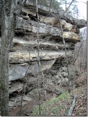
Quaill Valley is an interesting place. A huge section of the mountain broke off and slid into the valley. There were lots of interesting nooks and crannies to explore.
As we traveled through the valley and down to Blackburn Creek, I stopped to capture some of the first signs of spring along the way. Although it’s another week until spring officially starts, things are starting to bloom. I had a serious case of spring fever and was excited by all of the blossoms getting starting to pop out. It’s still a little early for the redbud trees and dogwoods, but a few more weeks and things will really be starting to pop out. 
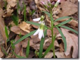
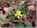
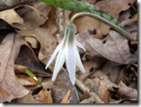
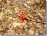
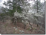
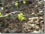
We took our time on the second day. Our destination was Junction Camp, about 9 1/2 miles into the trail. We only had about 5 miles to hike, a perfect distance for me and for Katie. (Her legs are a lot shorter.)
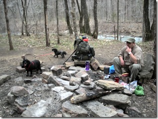
We stopped at the Rock Hole Camp for lunch. Rock Hole Camp is a primitive camping area almost a mile 7, named for the big rock in the center of the deep pool on Blackburn Creek. 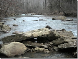 We refilled our water and had the best Ramen noodles ever. We spent about an hour checking out the area, and two hiking groups passed by us while we were there. One group was headed all the way back to the campgrounds at Devil’s Den, about 10 miles away. I’m glad I wasn’t with them!
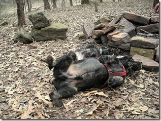
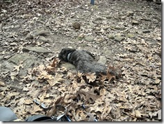
After a yummy lunch, a doggie roll in the leaves, and a nap, we were ready to continue on the trail to our next campsite.
Junction camp was 2 1/2 miles down the trail, mostly along a level bench. There were some climbs along the way, and at one point when we crossed a stream, we both started thinking that maybe we had missed the turnoff. It was wishful thinking on our part; we hadn’t gone as far as we thought.
Stuart backtracked for a while to make sure we hadn’t missed the campsite. We were within site of the creek and knew it was along the creek somewhere. When he didn’t find anything, we loaded the packs back on and kept going. We were jubilant when we found the spur that goes to Junction Camp, but the elation was short-lived when we saw the 1/4 mile descent into the camping area. It was steep and rocky, and I was ready to stop. That last 1/4 mile was long!
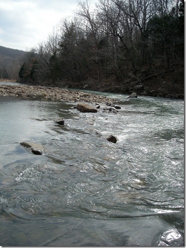 We made it down into the campsite, at the confluence of Blackburn Creek with Lee Creek. We were the only souls at the campsite, so we had our pick of spots. We bypassed the sites closest to the spur and opted to head down to the campsite closest to where the two streams meet, thinking that the dogs would be better behaved farther away from where folks coming into the campsite would be seen. It turned out this wasn’t an issue since we had the place to ourselves the whole time.
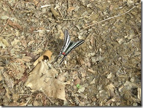
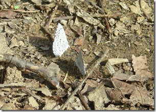
It was a nice afternoon and the sun finally broke through the overcast skies that had been hovering over us for most of the day. The creeks were running strong, and we filled up on water and watched the view for a while. There were lots of butterflies flitting about and a few were kind enough to pause long enough for me to get a picture of them.
After a chicken and stuffing dinner (complete with gravy), we headed to bed to be ready to get started early the next day. 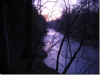 During the night, we only had one major interruption, Buster and Katie deciding to take off and find the leftover stuffing from dinner. We were up with the sun the next day although I had trouble actually becoming functional.
Around 9 a.m., we broke camp and left for the last leg of our journey. The climb out of Junction Camp that I had been dreading since our arrival the night before was not as bad after a night’s sleep.
After leaving Junction Camp, the trail works its way around Holt Ridge and travels around several large boulders. Thankfully, the trail was level. I would not have wanted to pick my way through all of those rocks! About a mile into the hike, we came to the Butterfield Falls, a section of the trail that climbs through the waterfall up to a 25-foot bluff.
Getting ourselves and the dogs up the rocks was a challenge and required a bit of teamwork. It was a little sketchy for a while when Buster decided to try to take a shortcut away from the falling water and jumped on a rock that was slippery. He slid down the rock to the other side of the trail about 10 feet and landed in a pool of water. He kept trying to scamper up the rock, but it was too slippery. Fortunately, he was able to find his way to the top of the falls with a little coaxing.
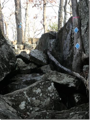 Katie handled the climb like a mountain dog and hopped up the rocks with no trouble. After getting everyone but myself safely up the falls, I had to work to make it up the last bit. I finally took off my backpack and threw it on top, making it was much easier to climb out. That extra 25 pounds makes a difference!
On top of the bluff, the trail gains elevation and there are some great views into the Lee Creek Valley. Since there are still no leaves on the trees, we had a clear view for about a quarter of a mile. 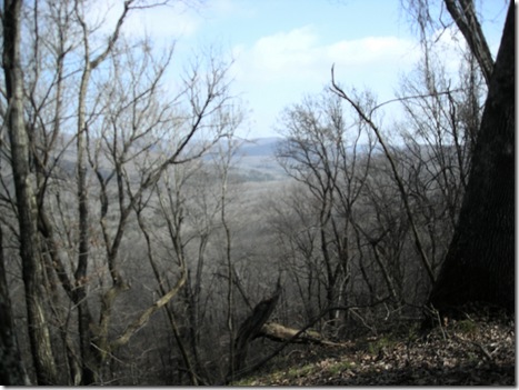
We had discussed taking a side trip to the Hold Ridge Overlook. That would have added 1.2 miles round trip to our hike. We decided against it, saving it for a future day hike. It’s supposed to be a fantastic view, but seats with cushions and McDonald’s were calling both of us out of the forest.
We stopped to take a quick break as the trail started to descend, and I ate the last candy bar and watched a snail try to get away from Buster. 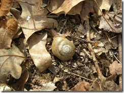 Fortunately, Buster is easily distracted by cookies.
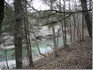
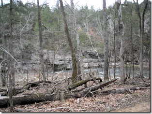
The descent to Lee Creek is fairly steep, dropping 400 feet in half a mile. We knew we were getting close to civilization when we spotted the creek and a campsite. The limestone bluffs along the creek are a neat sight. With just a half a mile to go, we took another quick breather to snap some pictures and drink the rest of our water.
Just when you think you are at the end of the trail, there are a few more ups and downs to navigate. I had both dogs on their leashes clipped to my belt and made the last few hills on Buster-power. We came out of the woods and were glad to see our car waiting for us. We loaded up the muddy dogs in the back, and after dropping off our permit at the visitor center and taking advantage of running water and soap, headed for home.

