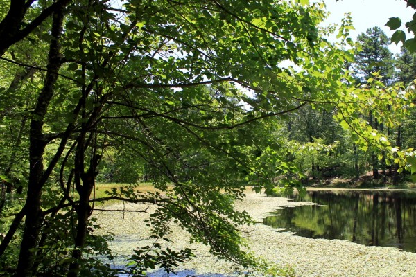
Back on July 13, I hiked the Rough Canyon Trail at Robbers Cave State Park. It was probably my 4th or 5th time to walk the trail.
This 2.9-mile loop trail in the San Bois Mountains is a nice hike. (The trail map and elevation profile is in this post.) It is nearly all wooded, has lots of interesting rocks on and around the trail, and some moderate hill-climbing.
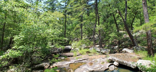
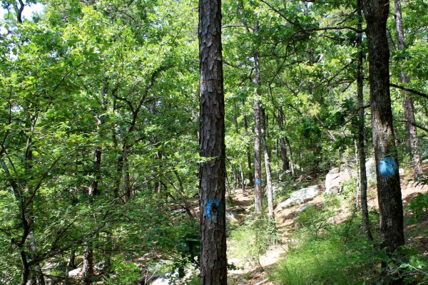
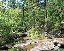
When water is flowing, the prettiest area along the trail is the half-mile stretch that runs along Rough Canyon (a scenic stream valley). Particularly during leaf-off, there are some very nice views through here, and the stream (or creek) that runs through it is great.
Lost Lake, which appears to be a man-made recreation lake that is no longer in use for that purpose, is also quite pretty.
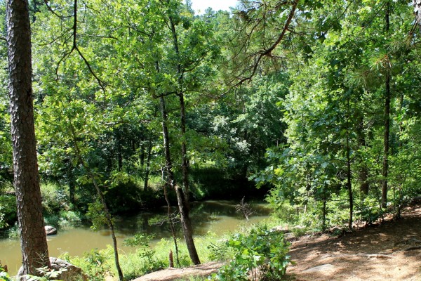
These photos are from my July 13 visit.
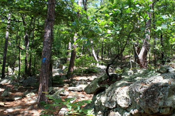
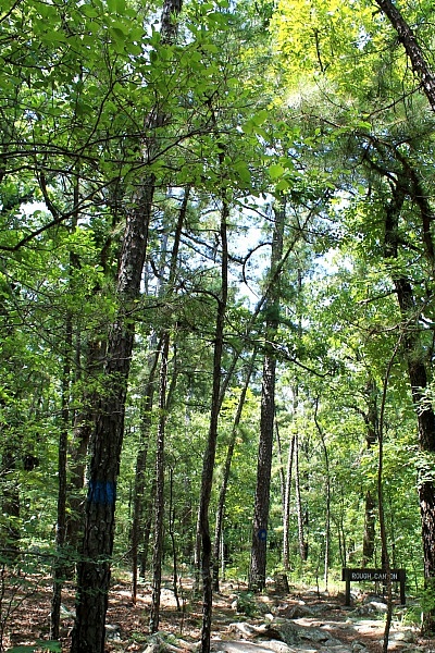
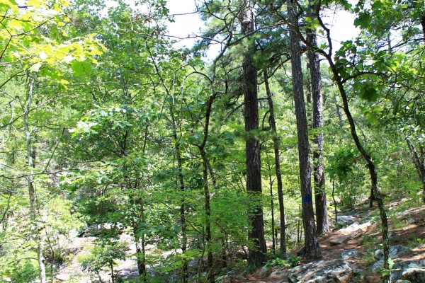
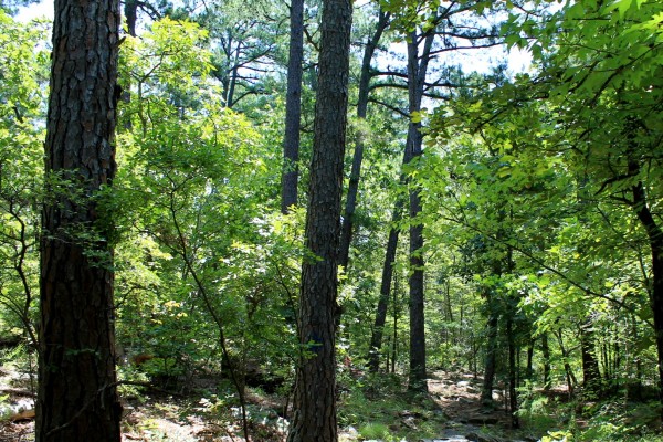
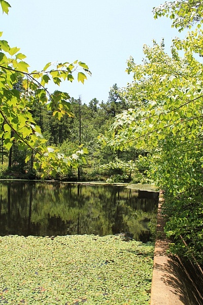
Photo Gallery
Click below for full-screen photo gallery.
[Last revised: 9-3-2020.]

4 replies on “Robbers Cave: Rough Canyon Trail Photos”
Robers Cave is one of our favorites, my boys love to climb. I am glad we have this park in Oklahoma :) This is making me think it is time for another visit.
It is a pretty cool park, Danielle.
Just wanted to say your blog is sooo helpful!! Love all the details and it’s helping me plan my next hike
Thanks Natasha!