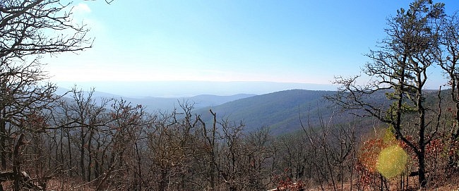
This is a great 2.5-mile strip of the Ouachita Trail on Winding Stair Mountain (Ouachita National Forest, LeFlore County, Oklahoma). It’s easy to get to, has some wonderful views and very interesting terrain.
The highlight of this segment is the Winding Stair Mountain highpoint at about MM25. The elevation here is about 2,450 feet. At one time, there was a fire tower here (called “Winding Stair Fire Tower” or “Billy Fire Tower”).
This is the beginning of Section 02. It starts at the Winding Stair Trailhead and heads west climbing up to the Winding Stair Highpoint and then heads downhill to a saddle.
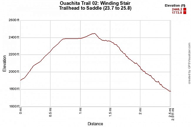
When I did the segment a couple of months ago, I turned around at that point, and headed back for a 5-mile hike. If you do it that way, it’s a pretty vigorous hike with nearly 1,200 feet of total elevation gain.
Getting There
The Winding Stair Trailhead is pretty easy to find. If you are coming from Poteau, stay on Highway 59 going south, toward Heavener. After about another 12 miles, turn right (west or south) onto Highway 259.
After about 4 miles, you will get to Highway 1, the Talimena Scenic Drive. Take a right here (west).
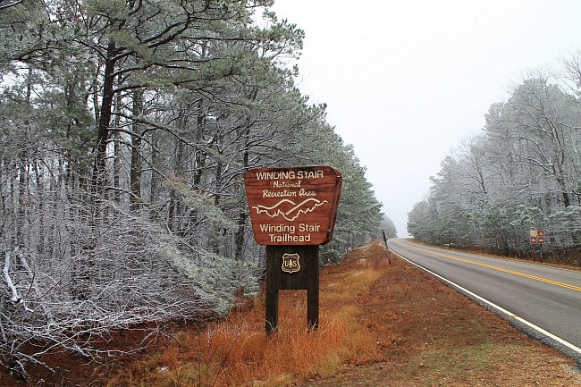
From here, it’s about 2 miles to the Trailhead. There is a large “Winding Stair Trailhead Sign” on the right. (It is just a little ways past the Winding Stair Campground.)
There is parking at the trailhead and a pit toilet.
The Hike
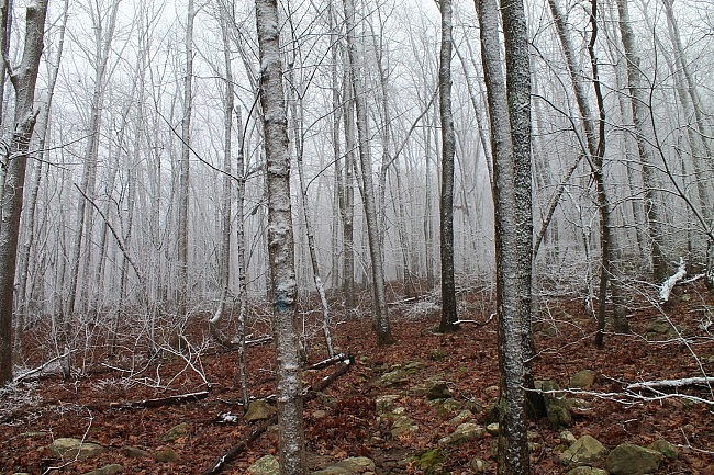
First, the trail crosses over to the south side of the Scenic Drive. From here, follow the signs and the blue blazes to continue on the Ouachita Trail.
The first half of this 2.5-mile segment for the most part takes what used to be the forest road up to the highpoint.
The first .2-miles is a (mildly uphill) trail that parallels the former road just to the west. Then around MM 24, the trail joins the road trace. Basically the “trail” from here to the highpoint is a forest walk up a dirt road.
Be prepared for uphill climbing in this part. The elevation change from the beginning to the highpoint is about 600 feet.
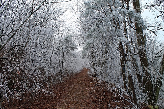
At about .7 into this hike, the trail/road makes a fairly sharp left turn and starts heading east. Up to this point, the trail has been climbing up the north side of a ridge. Now it’s on the ridge and stays along this ridge until the highpoint.
This part stays fairly level for about .4 miles and then goes up a little higher for the highpoint. Much of this part of the trail is lined with young pine trees.
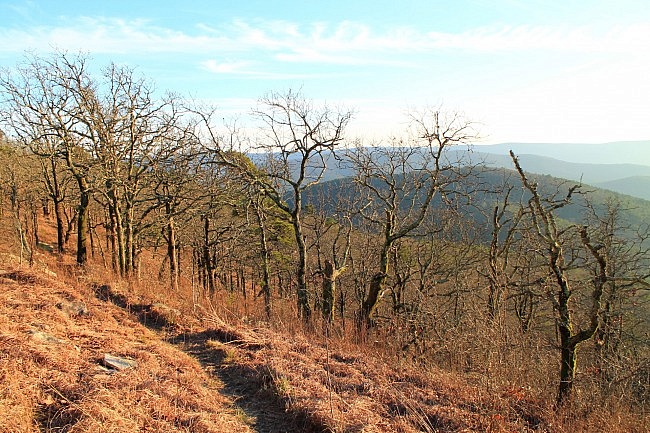
When I was there in late December, there had been some recent snow on the mountain. There was still a lot of unmelted snow on the north side (in the trees) as you can see in the pictures.
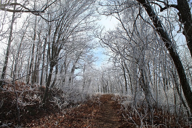
At around 1.3 on this hike (around MM 25), the trail reaches the highpoint area. This is the highest point on Winding Stair Mountain. The official highpoint elevation is 2,451 feet.
At the highpoint, there are some concrete pilings that were the base supports of the fire tower that used to be here. Also there is a large cairn (pile of rocks) marking the highpoint.
There aren’t any vista views here, but a great one is coming up shortly.
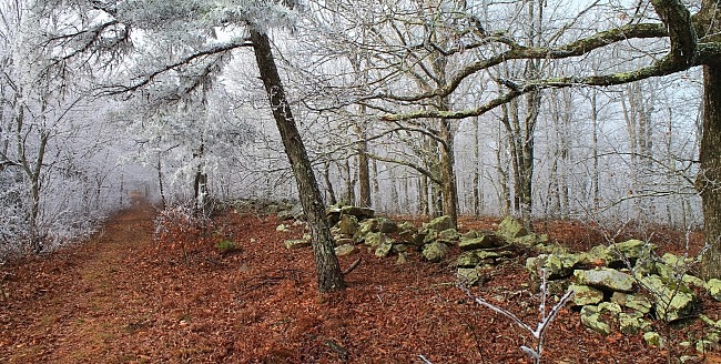
About 50 yards from the highpoint area is a very nice wooden shelter recently built by volunteers with Friends of the Ouachita Trail.
At this point, the road trace ends, and it becomes a regular trail heading to the southeast. The trail goes downhill for about a tenth-mile until reaching a fairly level ridge area about 100 feet lower in elevation. This area has some very nice views, especially during leaf-off. In fact, there is one fantastic south-facing vista where someone has assembled a couple of rock benches for enjoying the view.
If you just wanted to get to the highpoint and see the nice views, you could turn around and head back at this point. You entire hike would be about 3 miles.
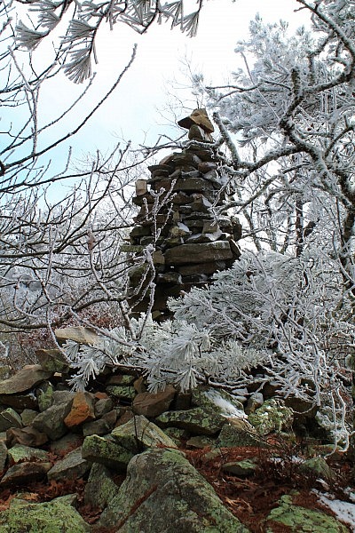
At about 1.6 on this hike, the trail starts the descent down the mountain’s north side to a saddle at an elevation of 1,775 feet. This is a drop of about 670 feet from the highpoint.
I love this part of the trail. It has over a dozen switchbacks that descend the south side. They range from 100 to a couple-hundred feet each. I love the interesting terrain on a downhill trail like this.
There are quite a few interesting rocks on the descent and (during leaf-off) some nice views. The trees are a mix of hardwoods and pine.
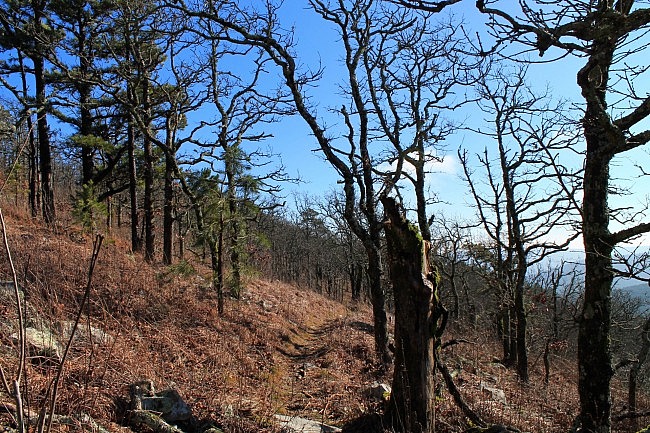
At around 2.5 on this stretch (about mile point 26.3), the trail reaches a saddle (a curved depression between two higher areas). This is a small fairly flat area after which the trail starts heading uphill again.
There is an unofficial hiker campsite area here.
Of course, you can continue on the OT, but this is the point where I turned and headed back. After making it back to the trailhead, the distance is about 5 miles.
Final Notes
The trail was in good condition and easy to follow when I recently hiked this segment. I had AT&T cell signal on about 75% of my hike.
For hiking the Ouachita Trail, I recommend Tim Ernst’s Ouachita Trail Guide.
These photos are all from my December 30, 2015 hike. See this post for more pics from this hike.
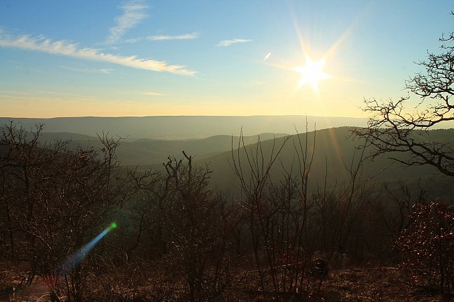
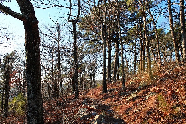
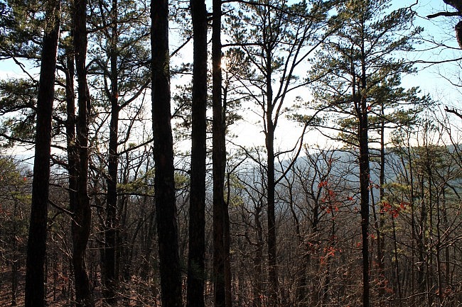
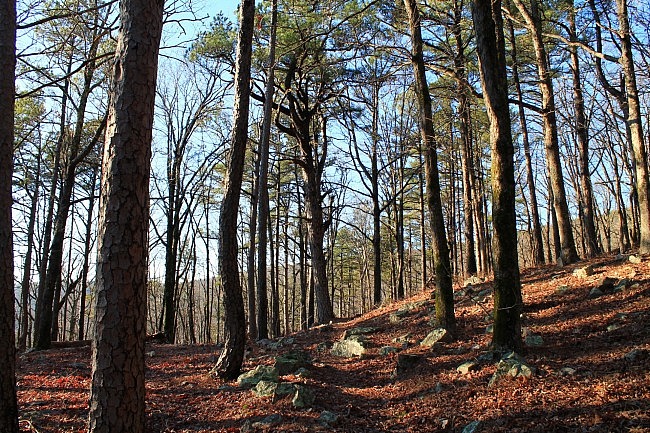
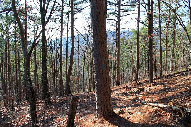
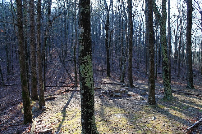
Photo Gallery
Click below for full-screen photo gallery of these and more pics from my December 30, 2015 hike.
Map
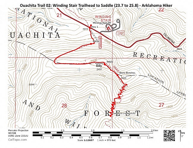
Ouachita Trail 02: Winding Stair Trailhead to Saddle (23.7 to 25.8) | |
|---|---|
| Location | LeFlore County, Oklahoma |
| Hike Length/Type | 2.5 miles each way. (5.0 miles out and back.) Blue blazes. |
| Difficulty | Very Strenuous (5 of 5) |
| Other Permitted Usage | Mountain bikes. |
| Gpx file by Mike | Link |
| Date Hiked | December 30, 2015 and earlier |
| Directions | Google Maps Directions to the Winding Stair Trailhead |
| Official Info | (918) 653-2991 (USFS Oklahoma Ranger Dist., Hodgen) USFS Website FoOT Website |
[Last edited 6-2-2021.]


2 replies on “Ouachita Trail: 23.7-26.3 – Winding Stair TH to Highpoint to Saddle (Section 2)”
Mike,
Thanks a ton! Don’t even know how we found this site…but wow glad we did!
We are from Buffalo National River in Harriet Arkansas… We hike the BRT, OHT, and OT.
Originally from Appalachian Trail Bluemont VA… Triple Crown and 13 time AT Thur Hiker… We appreciate you showing us this New trail! We look forward to thur hiking it.
Question: where exactly does this trail start ?
Thanks and sincerely,
Twisted &OneWay
hikertrashtv@gmail.com
Thanks for the kind comments, Heather! The Ouachita Trail goes all the way from LeFlore County, OK to Pulaski Couty, Arkansas (Central Ark)! Check out this page for info and the official FoOT page!