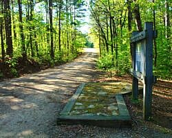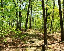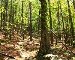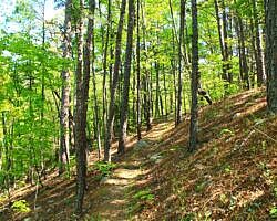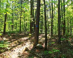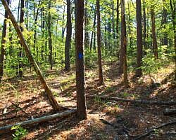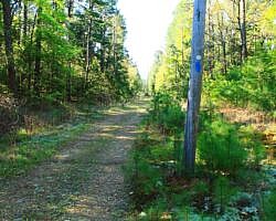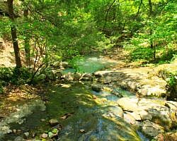
This 3.8-mile stretch on Section 2 of the Ouachita Trail from Big Cedar Trailhead (on Highway 259, LeFlore County, OK, Ouachita National Forest) to the Pashubbe Trailhead is an accessible and moderately challenging hike.
It makes about an 8-mile out-and-back day hike with a couple of seasonal stream crossings and a few ponds.
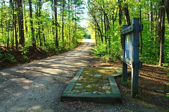
Getting to the Big Cedar (Hwy 259) Trailhead
There is a gravel parking lot at the Big Cedar Trailhead on Highway 259. Watch for the trailhead sign on Highway 259, about 3 miles south of the Talimena Scenic Drive (Highway 1) (about 20 miles south of Heavener).
If coming from the north, make a right (west) turn where the trailhead sign is for the parking area.
The Hike
The first thing you do after parking is walk up the driveway you came in on off the highway. Cross Highway 259 and then continue east.
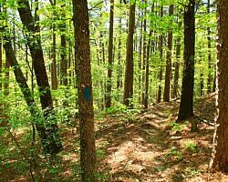
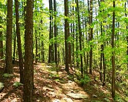
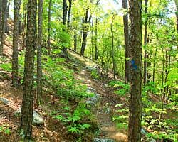
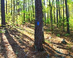
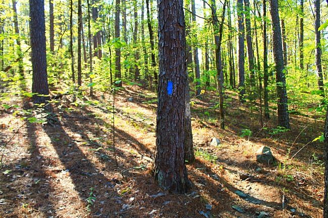
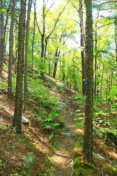
As always on the Ouachita Trail, follow the blue blazes.
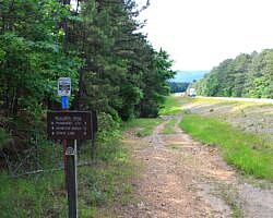
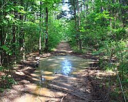
After crossing the highway, the next .3 miles or so is pretty much a walk on a dirt utility service road.
Then the OT takes a left turn off the dirt road. Be sure to watch for this left turn. It is easy to miss. (Watch for where the blue blazes to the left. There may or may not be some signage.)
Elevation. The difference between the low and high points is about 360 feet. As you can see on the elevation profile, the biggest climbing part of this hike is right after crossing Elkins Branch where you start a half-mile stretch that goes up about 300 feet elevation. There is another fairly steep but shorter climb right after crossing Big Branch.
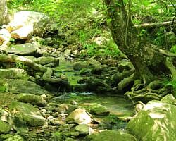
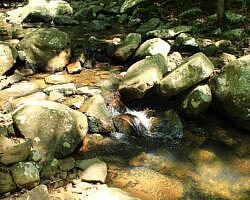
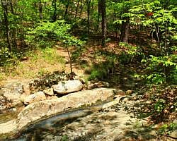
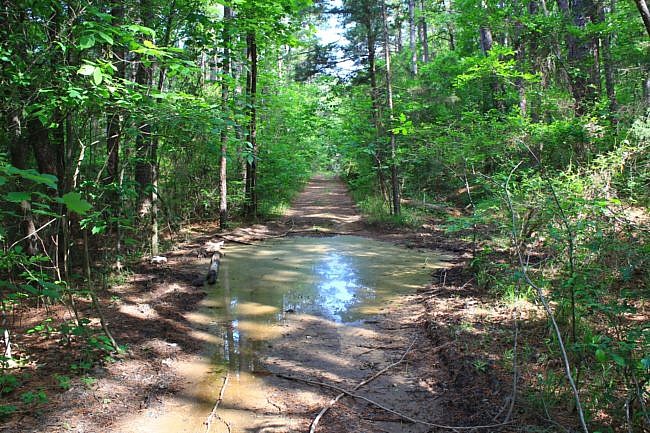
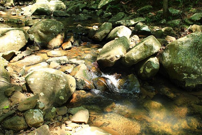
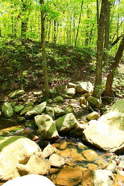
Streams. There are 2 named streams on this stretch–Elkins Branch (which comes first) and then Big Branch (the latter being bigger, no surprise). When I hiked this area during a wetter time, there was enough flow in both branches to be pleasant, but neither were any challenge for crossing.
Don’t have your hopes up for water flow during drier times of the year.
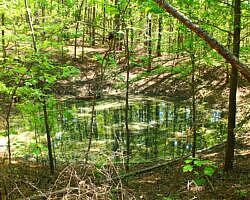
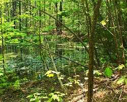
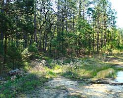
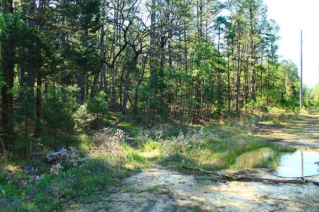
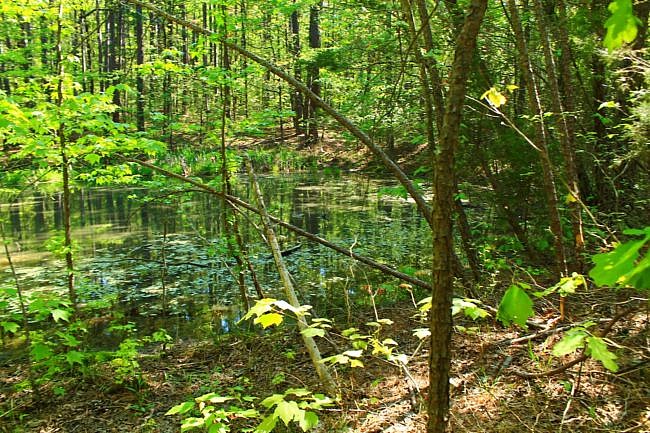
Ponds. On my map below, I have a pond marked. Actually, there are 3 ponds on this stretch of the trail.
The one I marked is not the first one you come across, so don’t be confused. Each will be on the left (if headed east).
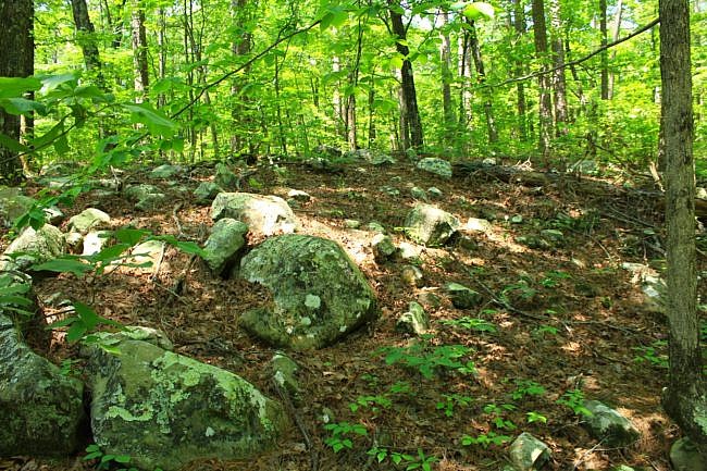
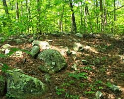
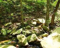
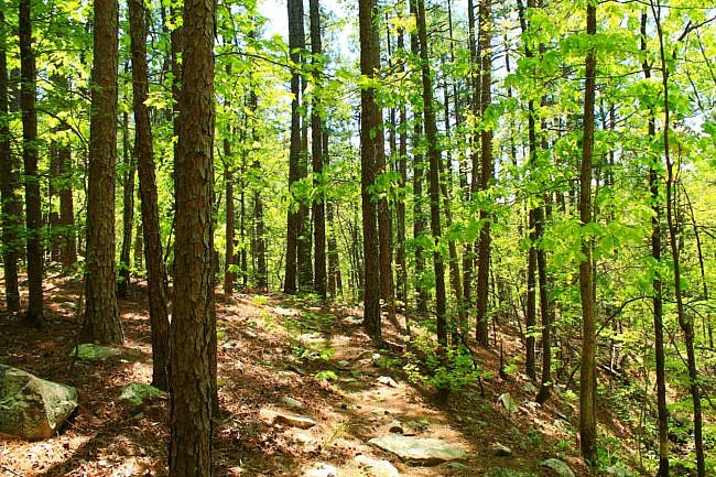
Partially rocky. Overall this is not a rocky hike although there are some rocky parts. There are some scenic rock gardens and small boulder fields along the way. One of these areas is around Big Branch.
Pashubbe Trailhead and Shelter. Shortly before reaching he Pashubbe Trailhead (the turnaround for this hike), you will see the spur for the fairly new Pashubbe Shelter over to the left. These nice shelters have been built by the Friends of the Ouachita Trail for hikers to use (and take care of).
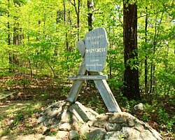
Once you reach the Pashubbe Trailhead, which is well marked and with a small parking area, you can turn and head back for a nearly 8-mile hike.
Or to make an easier loop, you can take Forrest Road 6032 back to the highway, and then walk about .7 miles up the highway back to the Big Cedar Trailhead.
Final Notes
Rich Mountain. This hike is along part of Rich Mountain although it is still in the Winding Stair Mountain National Recreation Area.
The trail was in good condition (thanks to the trail volunteers) when I did my May 2021 hike.
Overall, I had about 45% AT&T cell signal coverage.
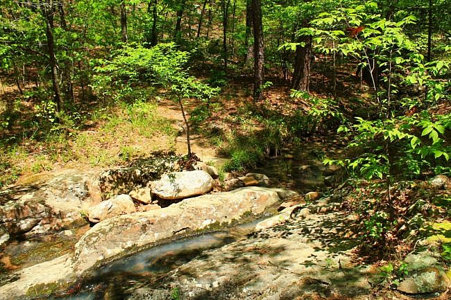
These photos are all from hikes I did on this stretch of trail on April 28, 2018 and May 15, 2021.
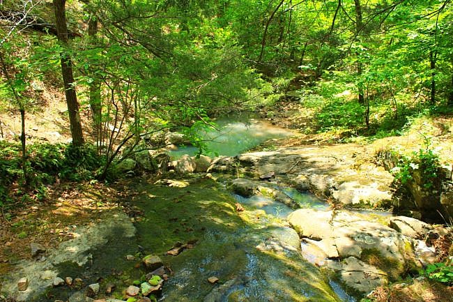
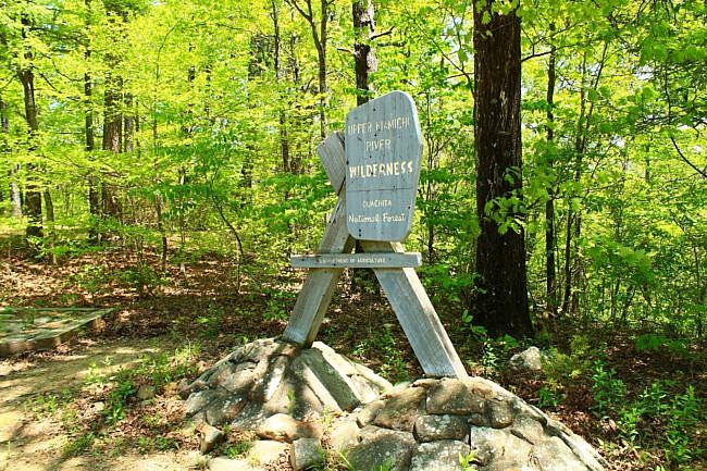
Photo Gallery
Click below for full-screen photo gallery of these and other images of this area from my hikes on April 28, 2018 and May 15, 2021.
Map
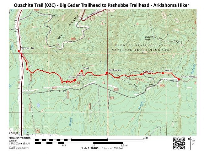
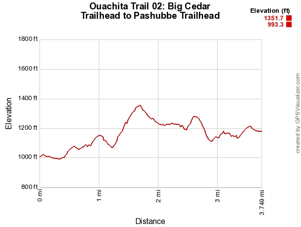
Ouachita Trail 02: Hwy 259 (Big Cedar Trailhead) to Pashubbe Trailhead (30.5 to 34.3) | |
|---|---|
| Location | LeFlore County, Oklahoma |
| Hike Length/Type | 3.8 miles each way. (7.6 miles out and back.) Blue blazes. |
| Difficulty | Moderate (3 of 5). |
| Other Permitted Usage | Mountain bikes. |
| Gpx file by Mike | Link |
| Date Hiked | May 15, 2021 (and earlier). |
| Directions | Google Maps Directions to the Big Cedar Trailhead |
| Official Info | (918) 653-2991 (USFS Oklahoma Ranger Dist., Hodgen) USFS Website FoOT Website |

