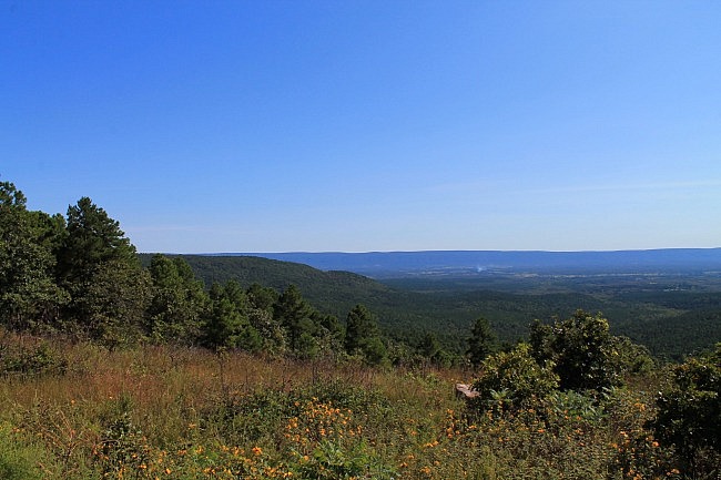
This is where the Ouachita Trail starts. This vigorous 2.4-mile Section 1 segment goes from the western trailhead at Talimena State Park (LeFlore County, Oklahoma) to the spur for the Potato Hill Vista. It is mostly on Winding Stair Mountain.
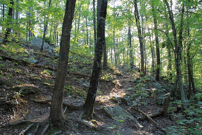
The 223-mile Ouachita Trail is the longest long-distance trail in this region. It runs from Talimena State Park all the way to Pinnacle Mountain State Park in Pulaski County, Arkansas. The majority of it is in the Ouachita National Forest.
When I hiked this segment on September 12, I went from the state park to the vista spur and back, about a 5-mile hike.
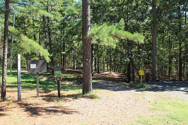
Getting There
The Ouachita Trail starts at the back of Talimena State Park, on Highway 271. It’s about 5 miles east of Talihina and about 30 miles southwest of Poteau.
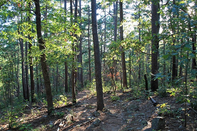
The Hike
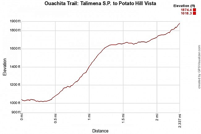
There’s quite a bit of climbing on this segment. The starting elevation is about 1,000 feet. By the time you reach the Potato Hill Vista spur, the elevation is about 1,874 feet, a net difference of nearly 900 feet.
The first .4 miles is pretty easy but not boring. After heading east for the first tenth mile, the trail turns north and follows along a seasonal stream bed. It was dry in September, but this is a very scenic stream during wet season.
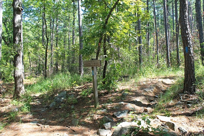
At around .4, the trail crosses the stream bed and then starts working its way uphill. From here, the trail starts a northeasterly curve.
This next mile is a big climb. There’s an elevation increase of about 700 feet over the next mile as you work your way up Winding Stair Mountain.
If you’re not up for hill climbing, this part can be tough. I love it though. I like the challenge and variety that you get from hill climbing like this.
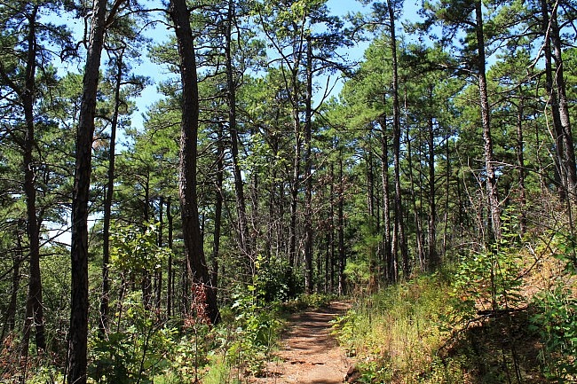
At around 1.0, the trail makes a sharp right at the junction with the Military Road Trail. (There’s a sign.)
Then the steepish climb continues up until around 1.3. At one or two points, the trail crosses the Choctaw Nation Trail (formerly the Indian Nation Trail).
At around 1.3, the trail levels out quite a bit until around 1.8. Then the trail climbs again until reaching the Potato Hill Vista spur at around 2.4.
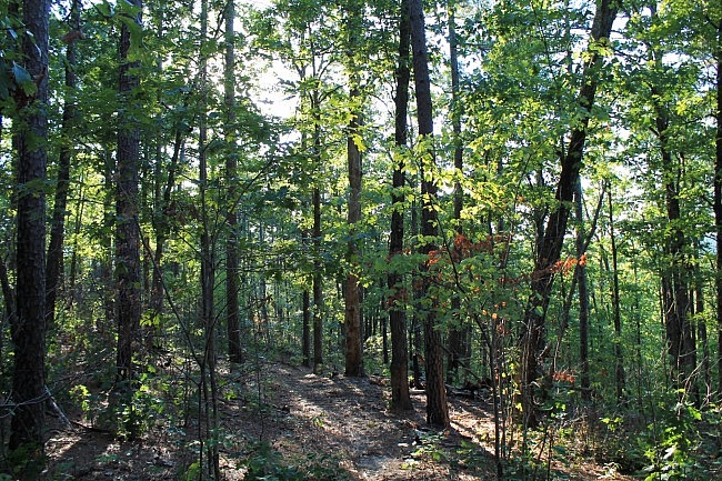
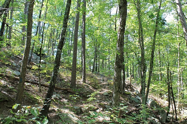
In the area leading up to the vista spur, there are a couple of scenic boulder fields that are pretty cool.
Once you hit the vista spur (there’s a sign), you’re at the end of this segment.
You might want to walk the .1-mile spur to your left to head over to the Potato Hill Vista (one of many on the Talimena Scenic Drive). The views from this vista are nice. (I disagree with Tim Ernst who says it’s not worth the effort.)
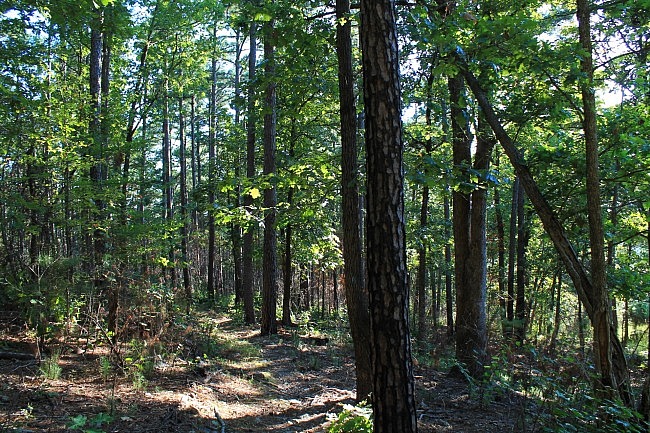
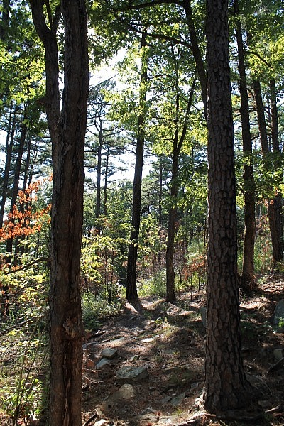
As for scenic views from the trail, since much of this segment is at a fairly low elevation, there aren’t many vista views until you get up to the higher elevation areas. Then you can see some limited views through the trees off to the west (or south).
Final Notes
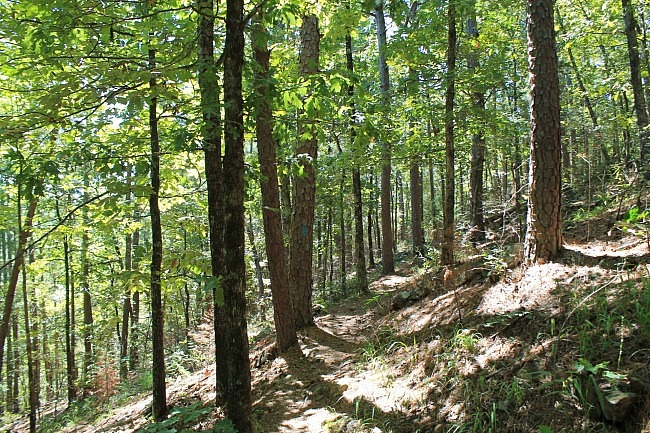
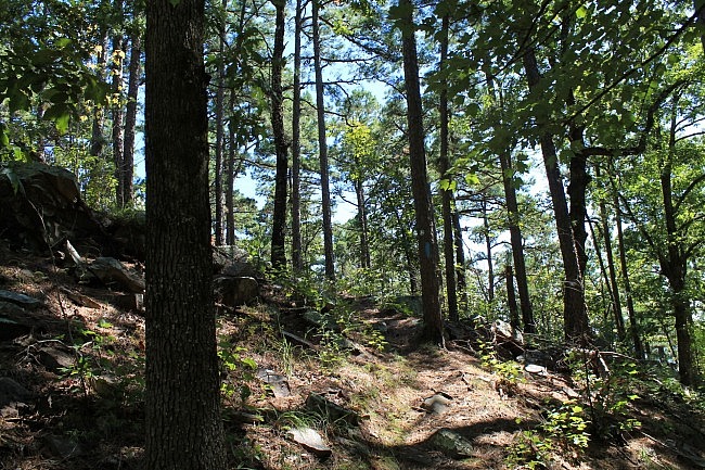
By and large, the trail was in very good condition and easy to follow. The Ouachita Trail has blue blazes.
I had AT&T cell signal for about 70% of the time.
For hiking the Ouachita Trail, I recommend Tim Ernst’s Ouachita Trail Guide.
These photos were all taken on my September 12, 2015 visit.
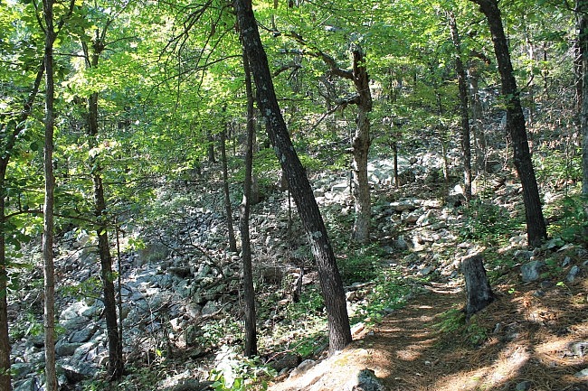
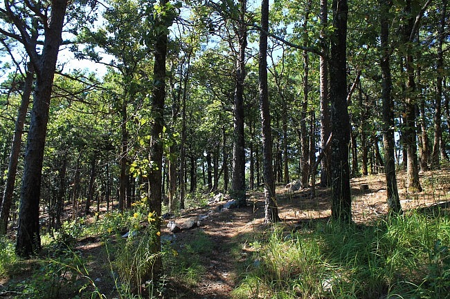
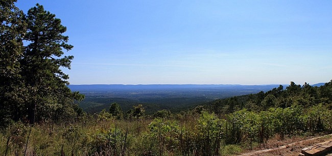
[See more pics from this hike in this post.]
Photo Gallery
Click below for full-screen photo gallery of these and more pics from my September 12, 2015 hike.
Map
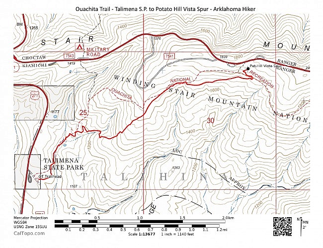
Ouachita Trail 01: Talimena S.P. to Potato Hill Vista - M.M. 0.0 to 2.4 | |
|---|---|
| Location | LeFlore County, Oklahoma |
| Hike Length/Type | 2.5 miles each way. (5 miles out and back.) Blue blazes. |
| Difficulty | Very Strenuous (5 of 5) |
| Other Permitted Usage | Mountain bikes |
| Gpx file by Mike | Link |
| Date Hiked | September 12, 2015 and earlier |
| Google Maps Directions Link | CLICK - Google Maps Directions to Talimena State Park |
| Official Info | (918) 653-2991 (Oklahoma Ranger Dist., Hodgen) USFS Website FoOT Website |
[Last revised: 10-3-2021.]


