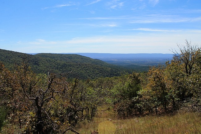
This 3.5-mile Section 1 segment of the Ouachita Trail heads from the Potato Hill Vista spur to Forest Road 6010 – approximate mile points of 2.4 to 5.8.
This segment is moderately challenging and has several very nice south-facing vista views.
I recently hiked the segment by starting at the Potato Hill Vista and heading east to FR 6010 and then back (7 mile hike).
Getting to Potato Hill Vista
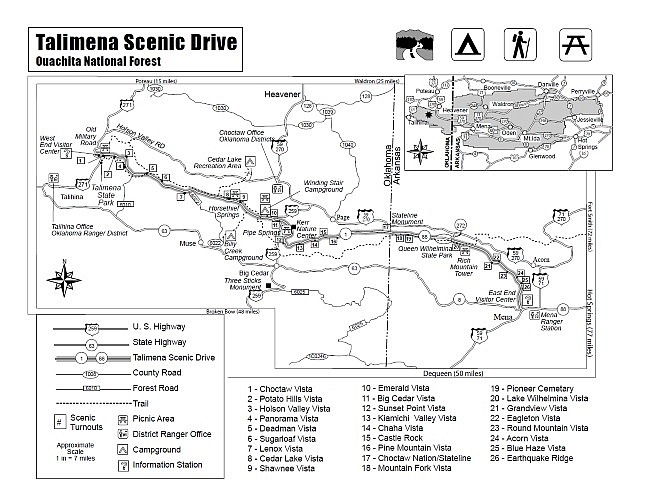
Potato Hill Vista is a nice overlook and is one of the numerous vistas on the Talimena Scenic Drive (Highway 1). (Click here for USFS map of the Scenic Drive.)
The Vista is on the south side, about 2 miles from the west end of the Talimena Scenic Drive.
At the east end of the Potato Hill Vista parking area, there is a .1-mile spur trail that connects to the Ouachita Trail. If you take the spur to the OT, take a left when you hit the Ouachita Trail.
The Hike
For most of the rest of Section 1, the OT runs parallel to the Talimena Scenic Drive, heading east on Winding Stair Mountain.
For the first 2 miles of this segment, the elevation stays pretty level. It winds in and out and up and down a little but stays pretty level.
The first mile or so heads mostly east. Then for the next mile or so (about 3.5 to 4.6), the trail heads in a mostly south direction. Then it heads southeast until FR 6010.
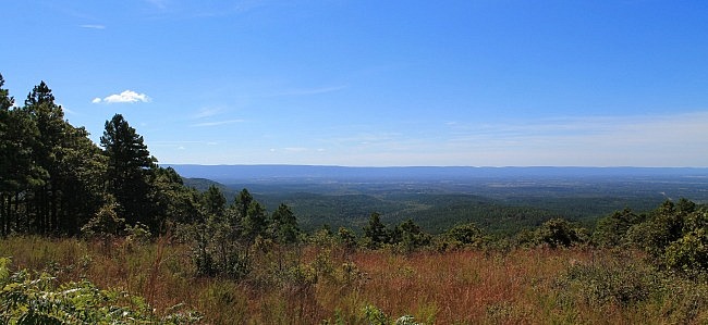
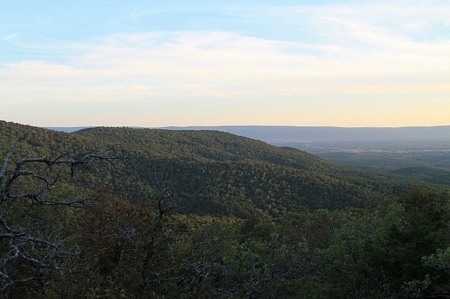
The highlight of this segment is the vista views. There are several nice wide open south-facing vista views along this part of the trail. (See the pics.)
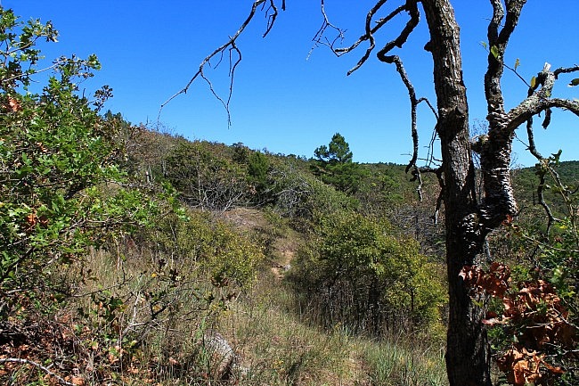
From around mile point 4.2 to 5.2, the trail climbs. On this stretch, the elevation goes up from around 1,900 feet to around 2,200 feet. After this, the trail descends about a hundred feet before making a final (small) climb up to FR 6010.
At around 5.0 is the spur for the Panorama Vista. (There’s a sign.) It’s a detour of about .3 to get over to this vista. (I did not go over to it on my recent hike.)
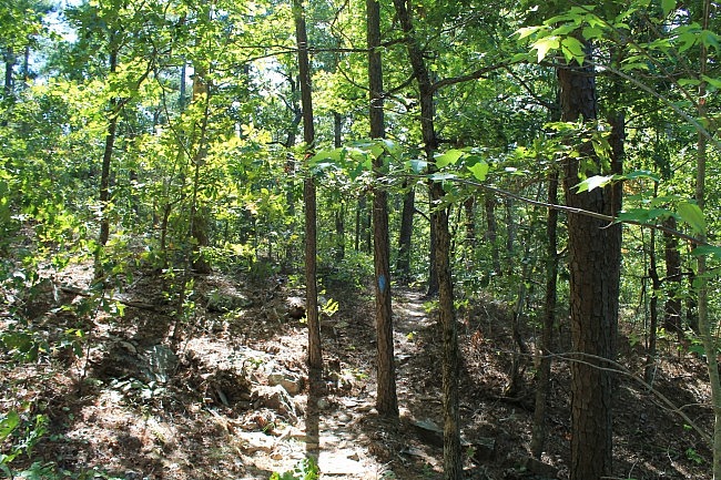
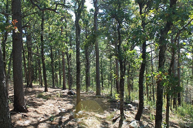
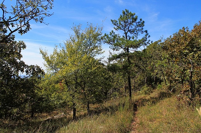
I think rocky trails are cool. Quite a bit of Winding Stair Mountain is rocky. Not all of this segment is rocky, but a good bit of it is. Walking with a stick or trekking pole can make it easier to navigate the rocks.
Speaking of rocks, there’s a pretty cool rock garden shortly before reaching FR 6010.
Final Notes
I had AT&T cell signal about 75% of the time on this segment.
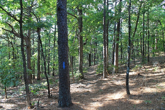
The vast majority of the trail on this segment was in good shape and easy to follow.
For hiking the Ouachita Trail, I recommend Tim Ernst’s Ouachita Trail Guide.
These photos were all taken on my October 3, 2015 visit. [More photos from that hike are posted here.]
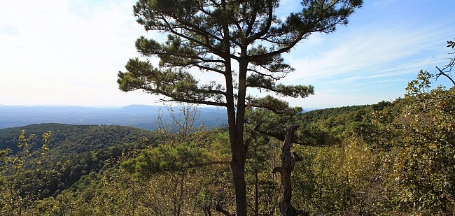
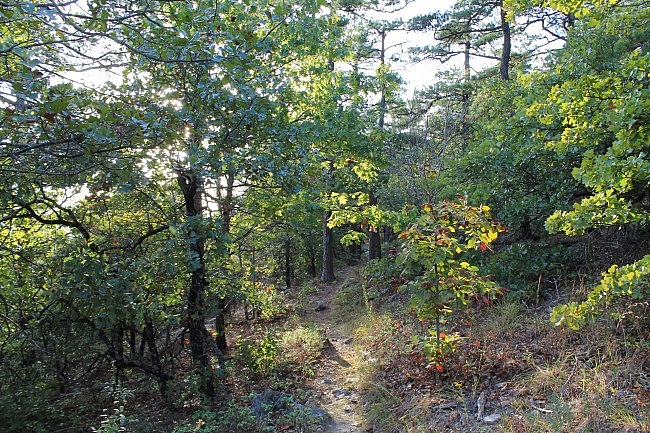
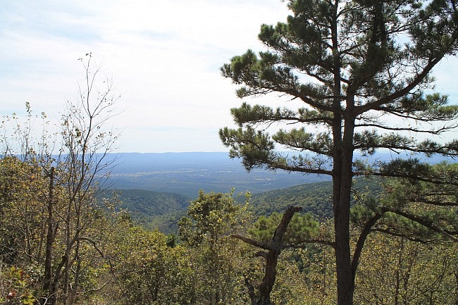
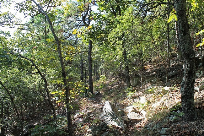
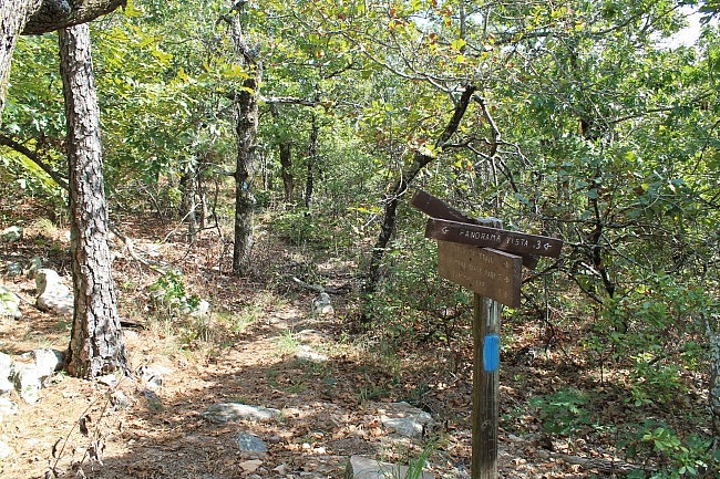
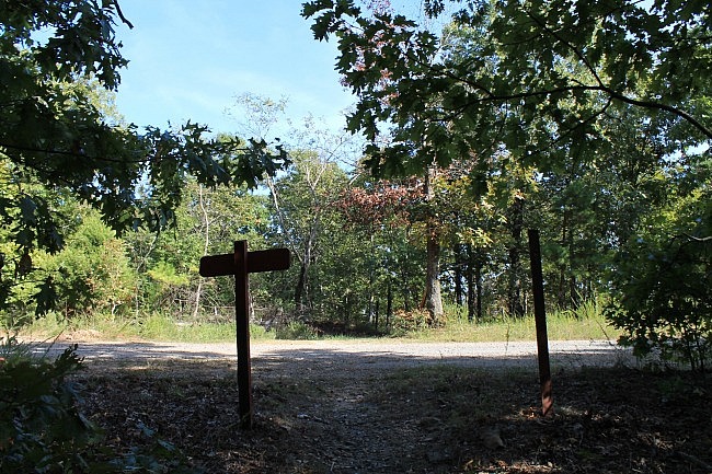
Photo Gallery
Click below for full-screen photo gallery of these and more pics from my October 3, 2015 hike.
Map
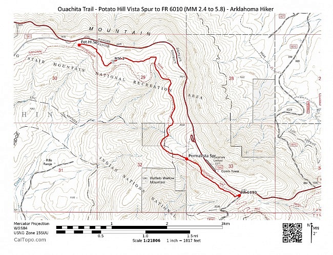
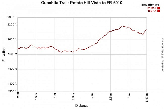
Ouachita Trail 01: Potato Hill Vista to FR 6010 - M.M. 2.4 to 5.8 | |
|---|---|
| Location | LeFlore County, Oklahoma |
| Hike Length/Type | 3.4 miles each way. (6.8 miles out and back.) Blue blazes. |
| Difficulty | Moderate (3 of 5) |
| Other Permitted Usage | Mountain bikes |
| Gpx file by Mike | Link |
| Date Hiked | October 3, 2015 and earlier |
| Directions | Google Maps Directions to the Potato Hill Vista overlook |
| Official Info | (918) 653-2991 (Oklahoma Ranger Dist., Hodgen) USFS Website FoOT Website |
[Last revised: 10-3-2021.]


2 replies on “Ouachita Trail: 02.4-05.8 – Potato Hill Vista Spur to FR 6010 (Section 1)”
Very nice summary; I’ve added this hike to my to-do list. Thanks!
Thanks Bill! Mike